Stanfords
United Kingdom
Stanfords
United Kingdom
2019
» Click to open
The Book Depository
United Kingdom
2019
  • Skye the Cuillin
  • The Cuillin mountains on Skye at 1:25,000 on a light, waterproof and tear-resistant map from Harvey Map Services, with an enlargement showing the Black Cuillin Ridge in greater detail at 1:12,500. On one side a map at 1:25,000 presents an area as indicated on our coverage image. Additional overprint highlights the course of the Sky Trail... Lire la suite
De Zwerver
Netherlands
2019
  • Wandelkaart Skye The Cuillin | Harvey Maps
  • The Cuillin mountains on Skye at 1:25,000 on a light, waterproof and tear-resistant map from Harvey Map Services, with an enlargement showing the Black Cuillin Ridge in greater detail at 1:12,500. On one side a map at 1:25,000 presents an area as indicated on our coverage image. Additional overprint highlights the course of the Sky Trail... Lire la suite
» Click to close
Stanfords
United Kingdom
» Click to open
The Book Depository
United Kingdom
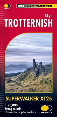
  • Skye Trotternish
  • The Storr and Trotternish areas of Skye at 1:25,000 on a double-sided, waterproof and tear-resistant map from Harvey Map Services. The main panel covers the north-eastern part of the island, with a separate panel extending coverage further southwards, from the Old Man of Storr to Portree. PLEASE NOTE: alternative coverage of this area is also... Lire la suite
De Zwerver
Netherlands
  • Wandelkaart Skye Trotternish | Harvey Maps
  • The Storr and Trotternish areas of Skye at 1:25,000 on a double-sided, waterproof and tear-resistant map from Harvey Map Services. The main panel covers the north-eastern part of the island, with a separate panel extending coverage further southwards, from the Old Man of Storr to Portree. PLEASE NOTE: alternative coverage of this area is also... Lire la suite
» Click to close
Stanfords
United Kingdom
» Click to open
The Book Depository
United Kingdom
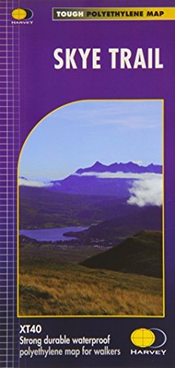
  • Skye Trail
  • Een bijzonder handige kaart van dit lange-afstands-wandelpad. Op waterafstotend papier met veel details. Het enige dat je eigenlijk een beetje mist is een overzicht. Verder uitstekend en voldoende voor de route. The Skye Trail is a challenging unofficial route through the island which is specifically aimed at experienced hillwalkers. The route... Lire la suite
Bol.com
Netherlands
  • Skye Trail
  • Een bijzonder handige kaart van dit lange-afstands-wandelpad. Op waterafstotend papier met veel details. Het enige dat je eigenlijk een beetje mist is een overzicht. Verder uitstekend en voldoende voor de route. The Skye Trail is a challenging unofficial route through the island which is specifically aimed at experienced hillwalkers. The route... Lire la suite
Bol.com
Belgium
  • Skye Trail
  • Een bijzonder handige kaart van dit lange-afstands-wandelpad. Op waterafstotend papier met veel details. Het enige dat je eigenlijk een beetje mist is een overzicht. Verder uitstekend en voldoende voor de route. The Skye Trail is a challenging unofficial route through the island which is specifically aimed at experienced hillwalkers. The route... Lire la suite
De Zwerver
Netherlands
  • Wandelkaart Skye Trail | Harvey Maps
  • Een bijzonder handige kaart van dit lange-afstands-wandelpad. Op waterafstotend papier met veel details. Het enige dat je eigenlijk een beetje mist is een overzicht. Verder uitstekend en voldoende voor de route. The Skye Trail is a challenging unofficial route through the island which is specifically aimed at experienced hillwalkers. The route... Lire la suite
» Click to close
De Zwerver
Netherlands
De Zwerver
Netherlands
2022
De Zwerver
Netherlands
2024