Stanfords
United Kingdom
- Caribbean Islands East & South ITMB Travel Atlas
- The islands of the eastern and southern Caribbean presented by ITMB in a handy size, A5, paperback, indexed atlas with city centre street plans of main cities. The mapping is taken from ITMB’s extensive coverage of the region on individual country maps, so scales vary.The atlas covers: Antigua and Barbuda (1:35,000/25,000, with street plans of... Lire la suite

Stanfords
United Kingdom
- Martinique & Guadeloupe ITMB
- Martinique and Guadeloupe with Saint-Barthélemy and Saint Martin at 1:65,000 and 1:100,000 respectively on a double-sided map from ITMB presenting each island with a street plan of the town centre in its capital. On one side is Martinique at 1:65,000 a street plan of Fort-de-France at 1:10,000. On the reverse coverage of Guadeloupe at 1:100,000... Lire la suite

Stanfords
United Kingdom
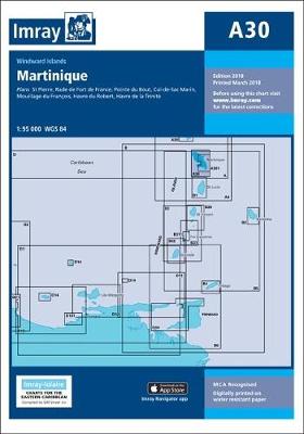
- A30 Martinique
- Plans included:St Pierre (1:20 000)Rade de Fort de France (1:15 000)Pointe du Bout (1:35 000)Cul-de-Sac Marin (1:35 000)Mouillage du François (1:50 000)Havre du Robert (1:45 000)Havre de la Trinité (1:30 000)On this 2018 edition the chart specification has been improved to show coloured light flashes. The plan of Rade de Fort de France has been... Lire la suite

De Zwerver
Netherlands

De Zwerver
Netherlands

Stanfords
United Kingdom
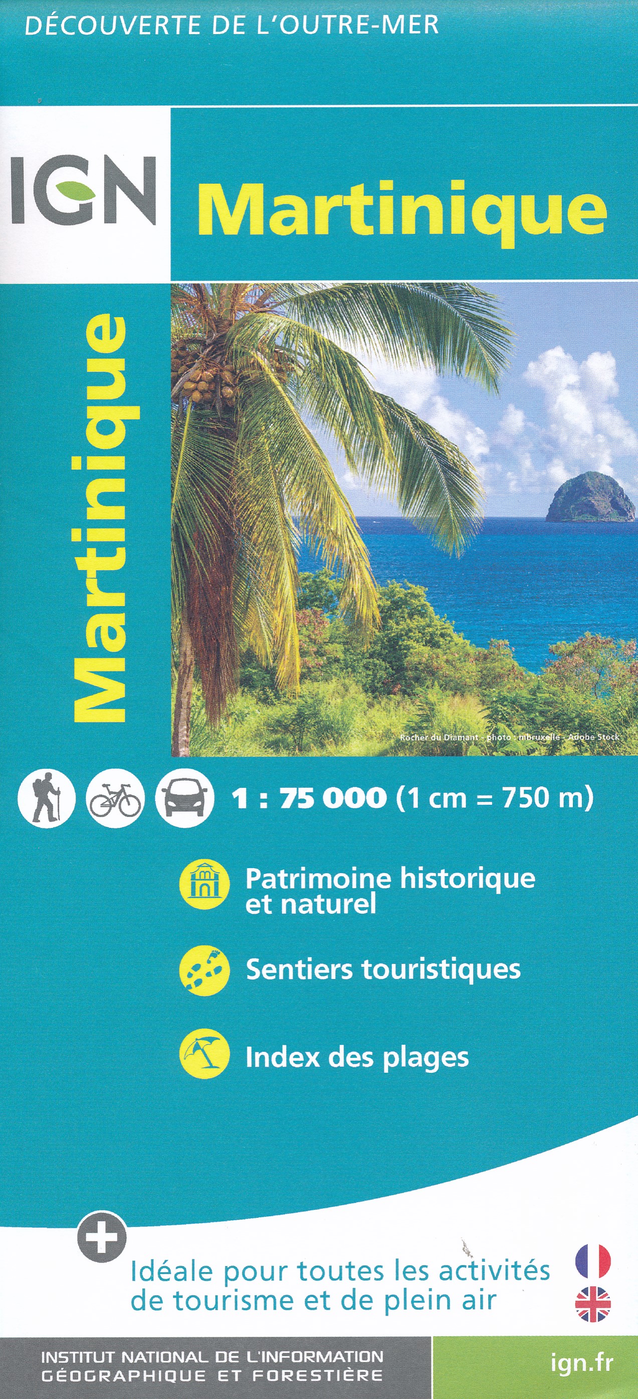
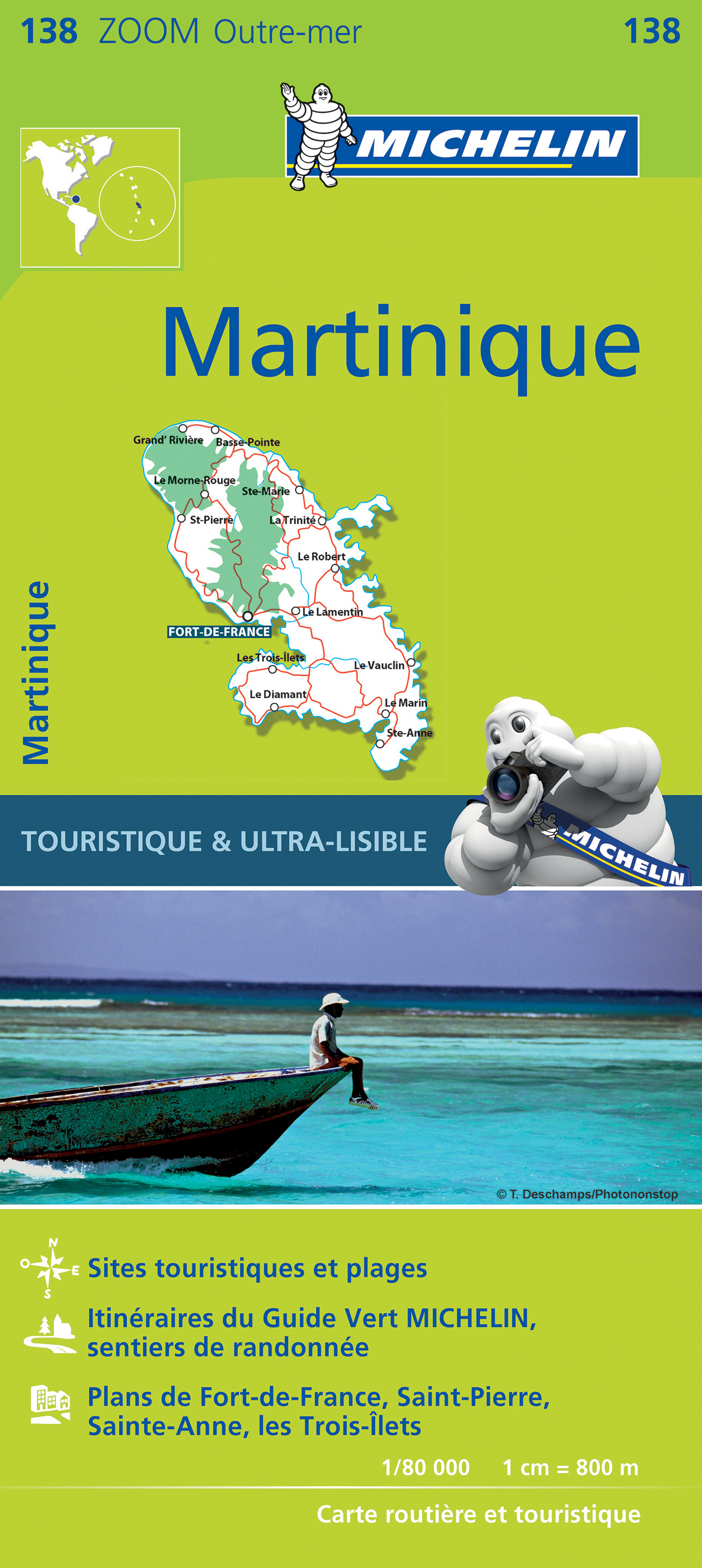
- Martinique IGN 84972
- Martinique at 1:75,000 on a map from the IGN, the national mapping agency of France, with highlighting for places of interest and hiking trails, presentation of topography through contours and relief shading, etc, plus aerial photographic plans of Fort-de-France and St-Pierre. Detailed classification of the road network includes country tracks... Lire la suite

Stanfords
United Kingdom

Stanfords
United Kingdom
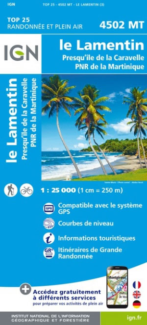
- Martinique - Le Lamentin - Presqu`ile de la Caravalle IGN 4502MT
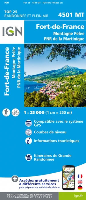
- One of the three topographic maps from the Institut Géographique National in Paris covering Martinique. Cartography is similar to that used for IGN’s coverage of France at this scale, with contours at 10m intervals, relief shading, and plenty of information on the type of vegetation: woods and forests, brushwood, plantations and orchards,... Lire la suite

Stanfords
United Kingdom
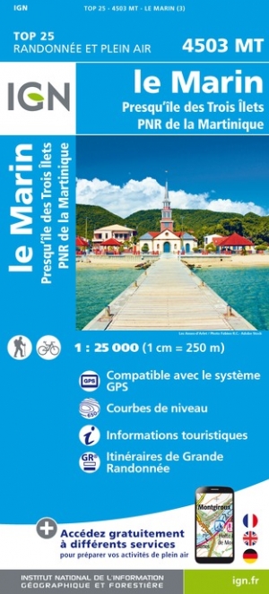
- Martinique - Le Marin - Presqu`ile des Trois Ilets IGN 4503MT
- One of the three topographic maps from the Institut Géographique National in Paris covering Martinique. Cartography is similar to that used for IGN’s coverage of France at this scale, with contours at 10m intervals, relief shading, and plenty of information on the type of vegetation: woods and forests, brushwood, plantations and orchards,... Lire la suite

Stanfords
United Kingdom
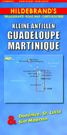
- Lesser Antilles: Guadeloupe and Martinique
- Indexed maps at various scales portraying Martinique, Dominica, St. Lucia, St. Martin, St Barthélemy and Guadeloupe (La Désirade, Les Saintes and Marie-Galante in insets). The most striking characteristic is the vivid representation of the general relief, using hill-shading. Some peak heights are marked and national parks, and reefs are shown.... Lire la suite