Stanfords
United Kingdom
Stanfords
United Kingdom
Stanfords
United Kingdom
Stanfords
United Kingdom
Stanfords
United Kingdom
Stanfords
United Kingdom
Stanfords
United Kingdom
2012
Stanfords
United Kingdom
Stanfords
United Kingdom
Stanfords
United Kingdom
» Click to open
The Book Depository
United Kingdom
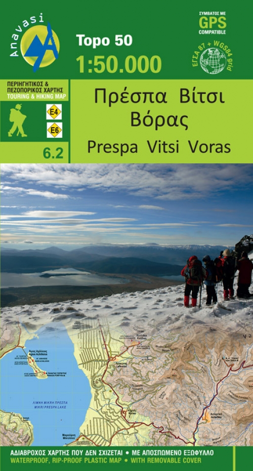
  • Prespa - Vitsi - Voras
  • Uitstekende topografische kaarten van een deel van Griekenland: zonder meer hele goede kaarten voor wandeltochten in een onbekend stuk Griekenland! Ze zijn gedrukt op scheurvast en watervast papier op een schaal van 1:50.000 met een UTM grid voor GPS gebruikers. Op de meeste kaarten is geven de hoogtelijnen een interval van 20m. aan. Met... Lire la suite
De Zwerver
Netherlands
  • Wandelkaart 6.2 Prespa - Vitsi - Voras | Anavasi
  • Uitstekende topografische kaarten van een deel van Griekenland: zonder meer hele goede kaarten voor wandeltochten in een onbekend stuk Griekenland! Ze zijn gedrukt op scheurvast en watervast papier op een schaal van 1:50.000 met een UTM grid voor GPS gebruikers. Op de meeste kaarten is geven de hoogtelijnen een interval van 20m. aan. Met... Lire la suite
» Click to close
Stanfords
United Kingdom
» Click to open
The Book Depository
United Kingdom
  • Tennengebirge - Lammertal - Osterhorngruppe Hiking + Leisure Map 1:50 000
  • Tennengebirge - Lammertal - Osternhorngruppe area of the Austrian Alps presented at 1:50,000 in a series of contoured and GPS compatible outdoor leisure map from Freytag & Berndt with hiking and cycling routes, mountain huts, campsites and youth hostels, local bus stops, plus other tourist information. To see the list of currently available... Lire la suite
» Click to close
De Zwerver
Netherlands
2022
Stanfords
United Kingdom
» Click to open
De Zwerver
Netherlands
  • Wandelkaart 1 Stara Planina gebergte | Domino
  • Stara Planina Central: Zlatitsa to Kalofer map at 1:50,000 from Bulgarian publishers Domino, contoured and GPS compatible, with hiking trails, accommodation options including a list of local mountain refuges, etc. The map is double-sided and covers the mountains from just west of Ribaritsa and Zlatitsa eastwards beyond Kalofer to the peak of... Lire la suite
» Click to close
De Zwerver
Netherlands
Stanfords
United Kingdom
» Click to open
De Zwerver
Netherlands
  • Wandelkaart 15/2 Alpenvereinskarte Totes Gebirge - Mitte | Alpenverein
  • Totes Gebirge Central area of the Alps in a hiking edition at 1:25,000 from a series of detailed, GPS compatible maps published by the DAV - Deutscher Alpenverein and produced by the German and Austrian Alpine Clubs using cartography from their respective survey organizations. Maps in this series have topography vividly presented by contours at... Lire la suite
» Click to close