Stanfords
United Kingdom
United Kingdom
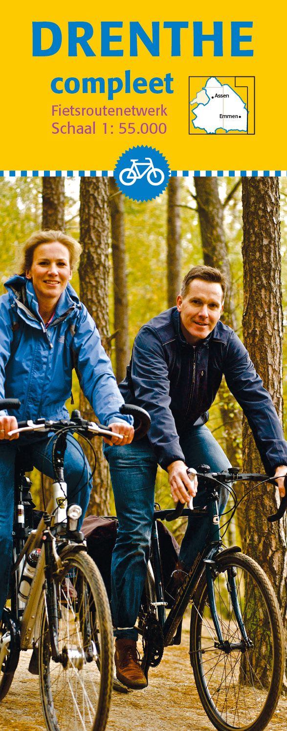
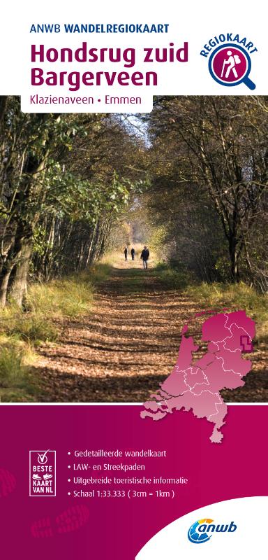
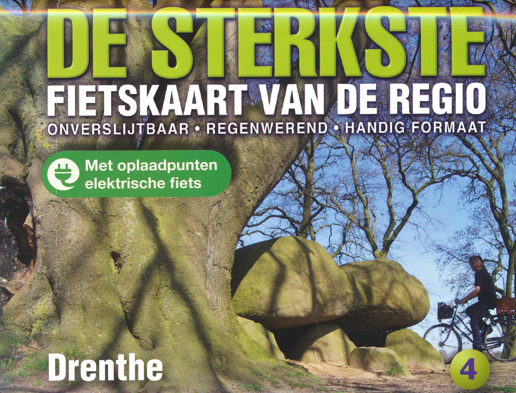
- Drentsche A
- Drentsche A area of the Netherlands in a series of walking and cycling maps at 1:25,000 – 1:35,000, published by Falk BV in cooperation with Staatsbosbeheer – Dutch government’s organization for forestry and the management of nature reserves.Colouring indicates different types of vegetation or terrain: woodland, pastures, heath or sand dunes.... Lire la suite