Stanfords
United Kingdom
United Kingdom
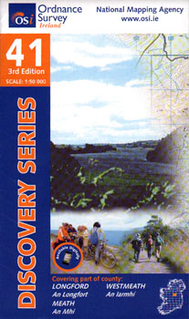
- Longford - Meath - Westmeath OSI Discovery 41
- Map No. 41, Longford South-West - Westmeath North in the Discovery series from the OSI, the Ordnance Survey of Ireland, which presents the country on detailed topographic maps at 1:50,000, with additional overprint highlighting campsites and caravan parks, youth hostels, etc. Current 3rd edition of this title was published in February 2011.Maps... Lire la suite