The Book Depository
United Kingdom
2018
» Click to open
De Zwerver
Netherlands
2018
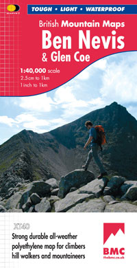
  • Wandelkaart Ben Nevis & Glen Coe | Harvey Maps
  • Waterproof mountain map of Ben Nevis & Glen Coe from Harvey at 1:40,000, with a geological map of the region on the reverse, an enlargement of Ben Nevis' summit, and advice on navigating the region safely.MAIN MAP: Topography is shown through clear altitude shading, spot heights, contours at 15m intervals, and index contours at 75m intervals. A... Lire la suite
» Click to close
The Book Depository
United Kingdom
» Click to open
» Click to close
Bol.com
Netherlands
» Click to open
Bol.com
Belgium
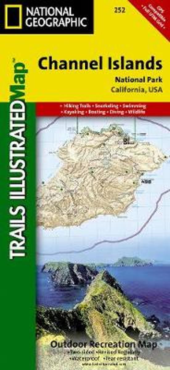
  • Channel Islands National Park
  • Waterproof Tear-Resistant Topographic MapThis two-sided map includes San Miguel Island, Santa Rosa Island, Santa Cruz Island, Santa Barbara Island, and Anacapa Island. The map combines beautiful cartography that shows the topology and natural features of each island, along with hiking trails, camping spots, rest areas, notable ship... Lire la suite
» Click to close
Ordnance Survey
United Kingdom
» Click to open
Ordnance Survey
United Kingdom
  • ST&G's ST&G's Ludicrously Moreish Great British Food Map
  • The Cheesiest map of Great Britain, brought to you by ST&G. Bursting full of over 2,000 food and drink locations, with a generous taste of trivia, this map will have you lusting after the variety of cuisine the Isles have to offer. Between Paddington's famous marmalade sandwiches to sandy seaside picnics, Britain has had a strange love affair... Lire la suite
» Click to close
The Book Depository
United Kingdom
» Click to open
Bol.com
Netherlands
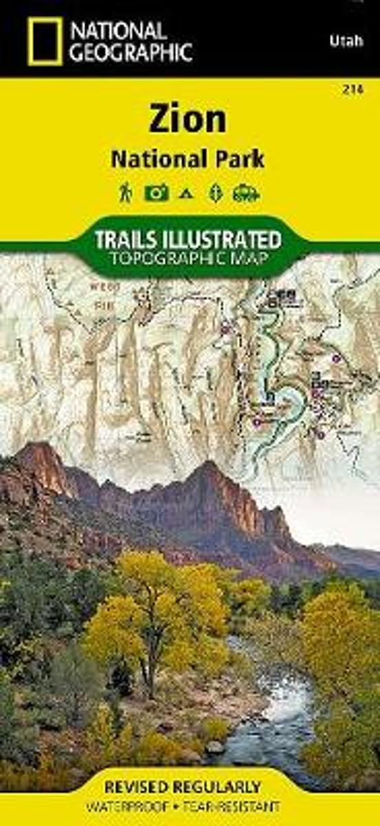
  • Zion National Park
  • • Waterproof • Tear-Resistant • Topographic MapExplore the beauty and geological wonder of Utah's first national park with National Geographic's Trails Illustrated map of Zion National Park. Created in partnership with local land management agencies, this expertly researched map combines unmatched detail with useful information to help you get... Lire la suite
Bol.com
Belgium
  • Zion National Park
  • • Waterproof • Tear-Resistant • Topographic MapExplore the beauty and geological wonder of Utah's first national park with National Geographic's Trails Illustrated map of Zion National Park. Created in partnership with local land management agencies, this expertly researched map combines unmatched detail with useful information to help you get... Lire la suite
De Zwerver
Netherlands
» Click to close
Ordnance Survey
United Kingdom
Bol.com
Netherlands
» Click to open
Bol.com
Belgium
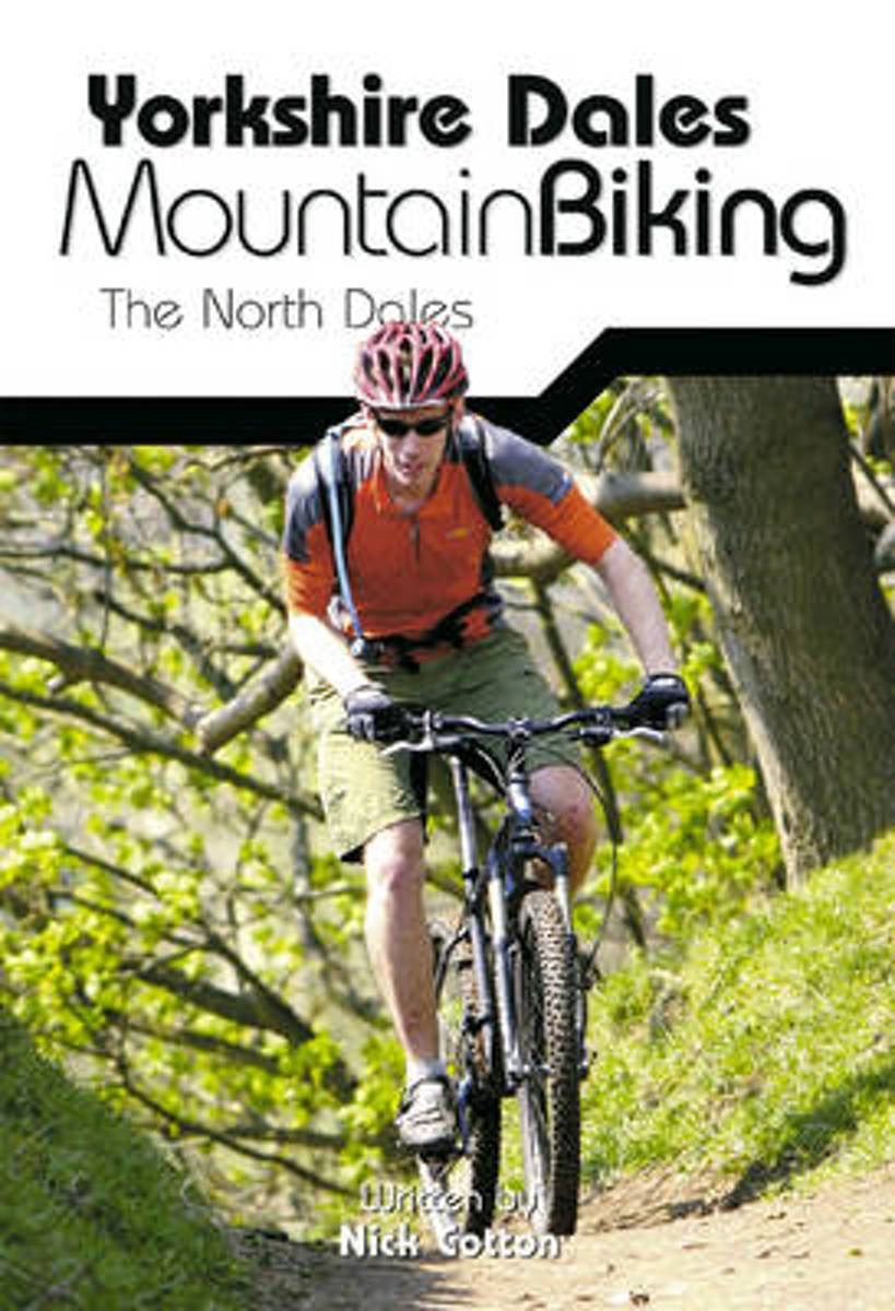
  • Yorkshire Dales Mountain Biking
  • This is a mountain biking guidebook to the Yorkshire Dales. Yorkshire Dales Mountain Biking - The North Dales is a user-friendly guide to the best riding in one of the country's most MTB-friendly national parks. The Yorkshire Dales have the lot: short riverside cruises on good trails, epic rides taking in big views, moorland singletrack and... Lire la suite
» Click to close
Bol.com
Netherlands
» Click to open
Bol.com
Belgium
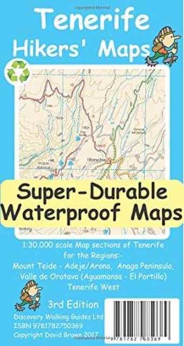
  • Tenerife Hikers Maps
  • Our latest hiking research on Tenerife has resulted in new editions of Walk! Tenerife and Tenerife Hikers' Super-Durable Maps being published in 2017. Thanks to Jan Kostura's 2016 research we have several new hiking adventures described in detail in Walk! Tenerife. Jan's gps records of his research for new routes and updating of current routes... Lire la suite
» Click to close
Ordnance Survey
United Kingdom
The Book Depository
United Kingdom
2014
» Click to open
Bol.com
Netherlands
2014
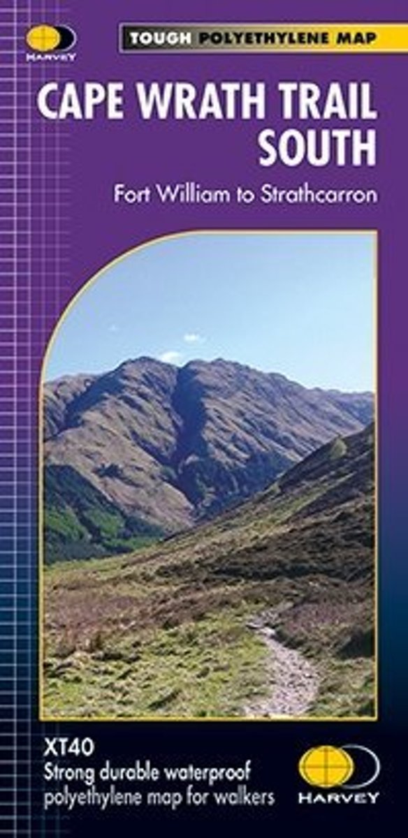
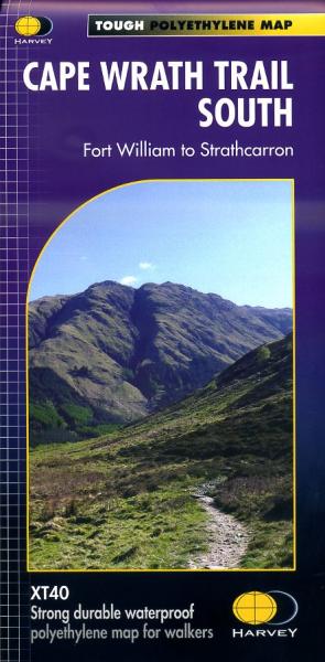
  • Cape Wrath Trail South XT40
  • Cape Wrath Trail is a challenging route from Fort William to Cape Wrath. It is around 200 miles long and passes through some of Scotland's wildest and most spectacular scenery. The trail has evolved from use and is not an officially recognised National Trail. There is no single definitive route. There are various ways of tackling the traverse... Lire la suite
Bol.com
Belgium
2014
  • Cape Wrath Trail South XT40
  • Cape Wrath Trail is a challenging route from Fort William to Cape Wrath. It is around 200 miles long and passes through some of Scotland's wildest and most spectacular scenery. The trail has evolved from use and is not an officially recognised National Trail. There is no single definitive route. There are various ways of tackling the traverse... Lire la suite
De Zwerver
Netherlands
2014
  • Wandelkaart Cape Wrath Trail South | Harvey Maps
  • The southern section of the Cape Wrath Trail, from Fort William to Strathcarron presented at 1:40,000 on a light, waterproof and tear-resistant map from Harvey Map Services. The map covers this section of the trail on eight panels, showing both the western variant via Inverie and Shiel Bridge, and inland route along Loch Lochy and Invegarry.... Lire la suite
» Click to close
Bol.com
Netherlands
» Click to open
Bol.com
Belgium
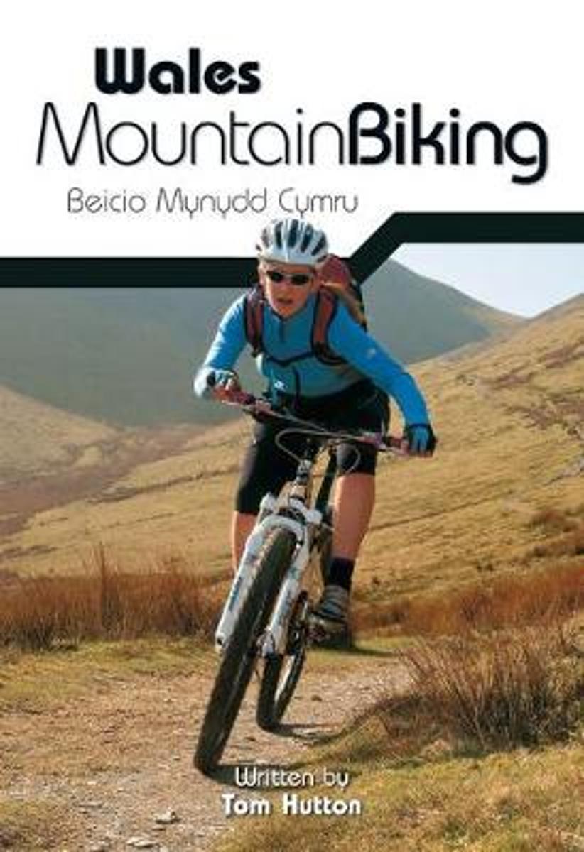
  • Wales Mountain Biking
  • Wales Mountain Biking is the 12th title in Vertebrate Publishing's bestselling series of UK mountain biking guidebooks. This book showcases 20 routes in Wales, between 12km and 50km in length, suitable for all levels of mountain bikers. Split into three sections, South Wales, Mid Wales and North Wales, this book includes classic loops in the... Lire la suite
» Click to close
De Zwerver
Netherlands
2019
Bol.com
Netherlands
» Click to open
Bol.com
Belgium
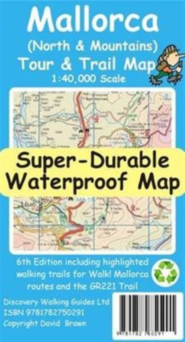
  • Mallorca North & Mountains Tour & Trail Super-Durable Map
  • Fully detailed Mallorca adventures with our new Mallorca North & Mountains Tour & Trail Super-Durable Map 6th edition by David Brawn and Walk! Mallorca guide book by Charles Davis. Our new 6th edition gives you a super detailed, up to date, map of the Tramuntana region stretching from Peguera-Costa Calma- Santa Ponca in the west then running... Lire la suite
» Click to close
Bol.com
Netherlands
» Click to open
Bol.com
Belgium
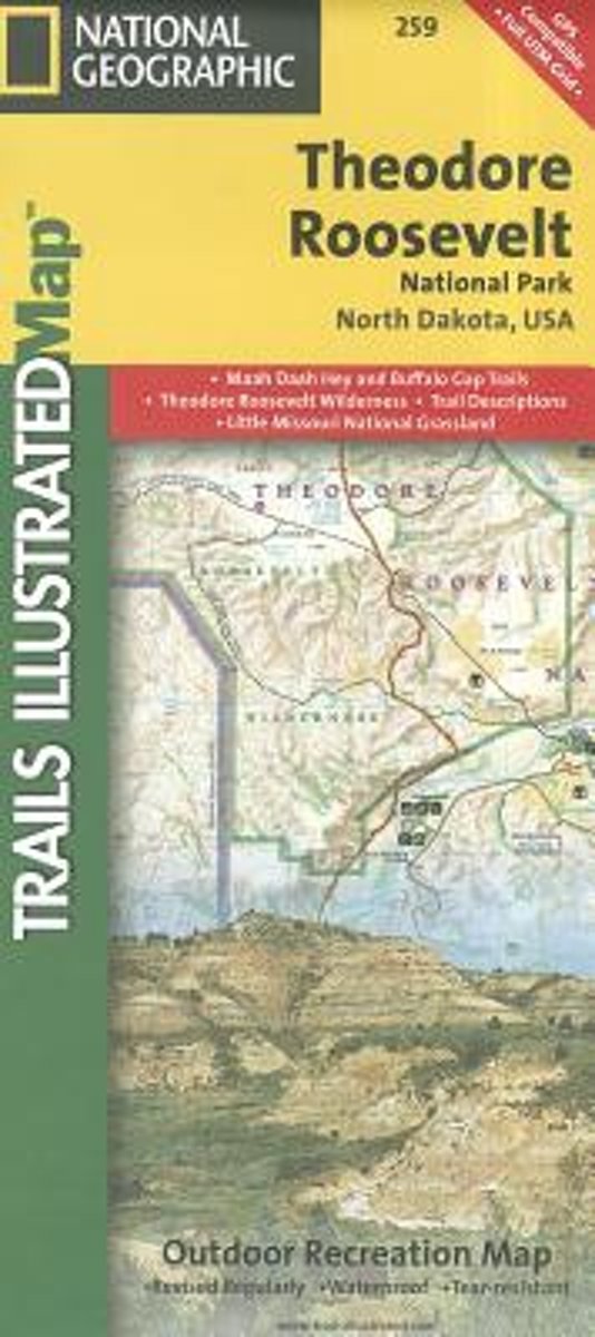
  • Theodore Roosevelt National Park/maah Daah Hey Trail
  • Get the most trusted and popular recreation maps available. Each map is crafted in conjunction with local land managers and undergoes rigorous review and enhancement before being printed on waterproof, tear-resistant material. The maps are updated regularly to include detailed topographic information, clearly marked/named trails, recreational... Lire la suite
» Click to close
Bol.com
Netherlands
» Click to open
Bol.com
Belgium
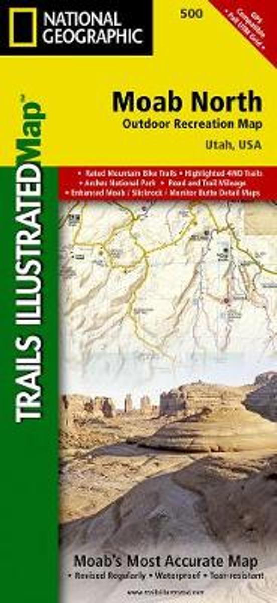
  • Moab North
  • Waterproof Tear-Resistant Topographic MapA popular destination for mountain biking, hiking, whitewater rafting, and four-wheeling, Moab offers adventure and recreation in one of the most iconic landscapes in the United States. National Geographic's Trails Illustrated map of Moab North was created in partnership with local land management... Lire la suite
» Click to close