Stanfords
United Kingdom
United Kingdom
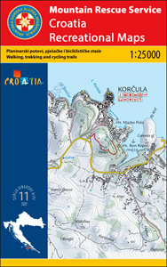
- Biokovo Mountains Croatian Mountain Rescue Service 25K Map
- Biokovo Mountains on the Adriatic coast of Croatia on a contoured and GPS compatible, double-sided map at 1:25,000 from the Croatian Mountain Rescue Service. Coverage includes the resorts of Baška Voda, Makarska,, Tucpi and Podgora.Contours at 10m intervals enhanced by relief shading provide excellent presentation of the terrain, with markings... Lire la suite