Stanfords
United Kingdom
United Kingdom
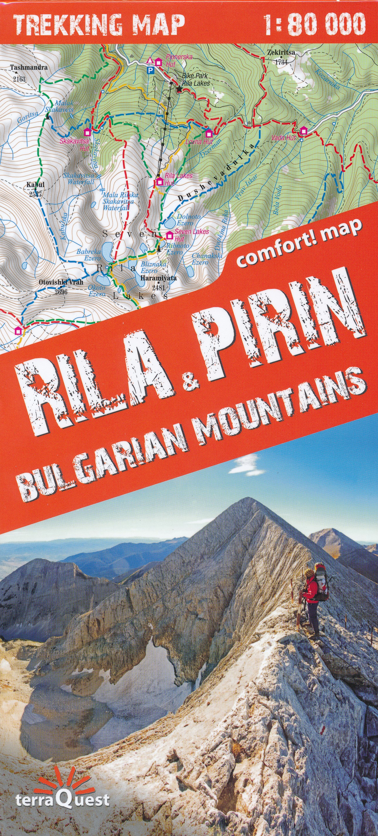
- Samokov - Borovets with the Rila Mountains
- Street plans of Samokov and Borovets, plus a contoured map of part of the Rila National Park showing waymarked hiking routes, a panorama map with ski runs in Borovets, and English langugage information on hotels, etc.On one side is a street plan of Samokov at 1:9,500 annotated with symbols showing various facilities. Street names are in... Lire la suite