Stanfords
United Kingdom
Stanfords
United Kingdom
Stanfords
United Kingdom
Stanfords
United Kingdom
Stanfords
United Kingdom
Stanfords
United Kingdom
Stanfords
United Kingdom
» Click to open
The Book Depository
United Kingdom
De Zwerver
Netherlands
» Click to close
Stanfords
United Kingdom
» Click to open
The Book Depository
United Kingdom
De Zwerver
Netherlands
» Click to close
Stanfords
United Kingdom
» Click to open
The Book Depository
United Kingdom
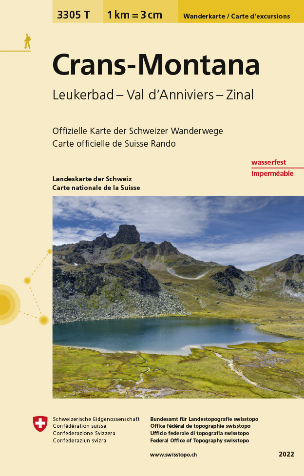
  • Craens - Montana
  • Een nieuwe serie van de Zwitserse topografische dienst: eindelijk goede wandelkaarten met ingetekende wandelroutes op scheur- en watervast papier. Vooralsnog zijn ze uitgebracht van de populaire wandelgebieden en niet landelijk dekkend (zie overzicht) Op een gedetailleerde schaal van 1:33.333 met als ondergrond de onovertroffen topografische... Lire la suite
De Zwerver
Netherlands
  • Wandelkaart - Topografische kaart 3305T Crans-Montana | Swisstopo
  • Een nieuwe serie van de Zwitserse topografische dienst: eindelijk goede wandelkaarten met ingetekende wandelroutes op scheur- en watervast papier. Vooralsnog zijn ze uitgebracht van de populaire wandelgebieden en niet landelijk dekkend (zie overzicht) Op een gedetailleerde schaal van 1:33.333 met als ondergrond de onovertroffen topografische... Lire la suite
» Click to close
Stanfords
United Kingdom
» Click to open
De Zwerver
Netherlands
» Click to close
Stanfords
United Kingdom
» Click to open
Bol.com
Netherlands
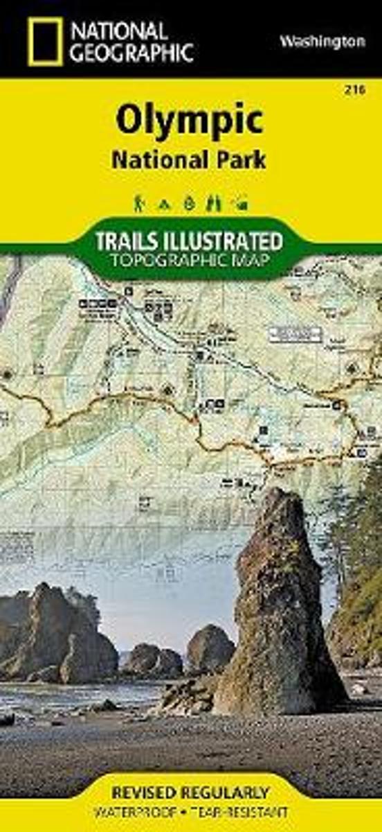
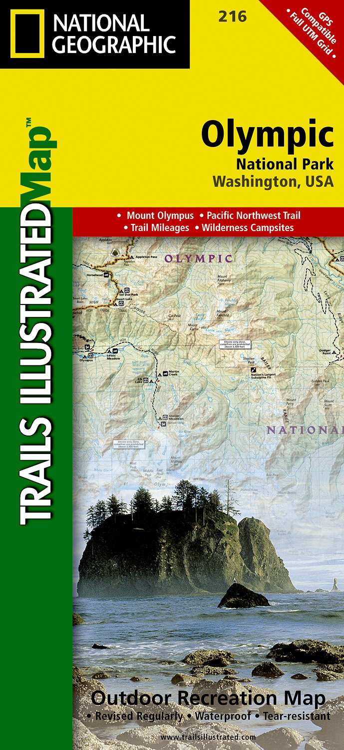
  • Olympic National Park
  • • Waterproof • Tear-Resistant • Topographic MapOlympic National Park encompasses four distinctly different ecosystems in its nearly one million acres. National Geographic's Trails Illustrated map of Olympic National Park offers outdoors enthusiasts a valuable tool for exploring the park's old-growth forests, glaciers, untamed rivers, and rugged... Lire la suite
Bol.com
Belgium
  • Olympic National Park
  • • Waterproof • Tear-Resistant • Topographic MapOlympic National Park encompasses four distinctly different ecosystems in its nearly one million acres. National Geographic's Trails Illustrated map of Olympic National Park offers outdoors enthusiasts a valuable tool for exploring the park's old-growth forests, glaciers, untamed rivers, and rugged... Lire la suite
De Zwerver
Netherlands
  • Wandelkaart 216 Olympic National Park | National Geographic
  • Prachtige geplastificeerde kaart van het bekende nationaal park. Met alle recreatieve voorzieningen als campsites, maar ook met topografische details en wandelroutes ed. Door uitgekiend kleurgebruik zeer prettig in gebruik. Scheur en watervast! Within the park, there is detailed coverage of Mount Olympus, Tshletshy Ridge, Hurrican Ridge,... Lire la suite
» Click to close
Stanfords
United Kingdom
» Click to open
De Zwerver
Netherlands
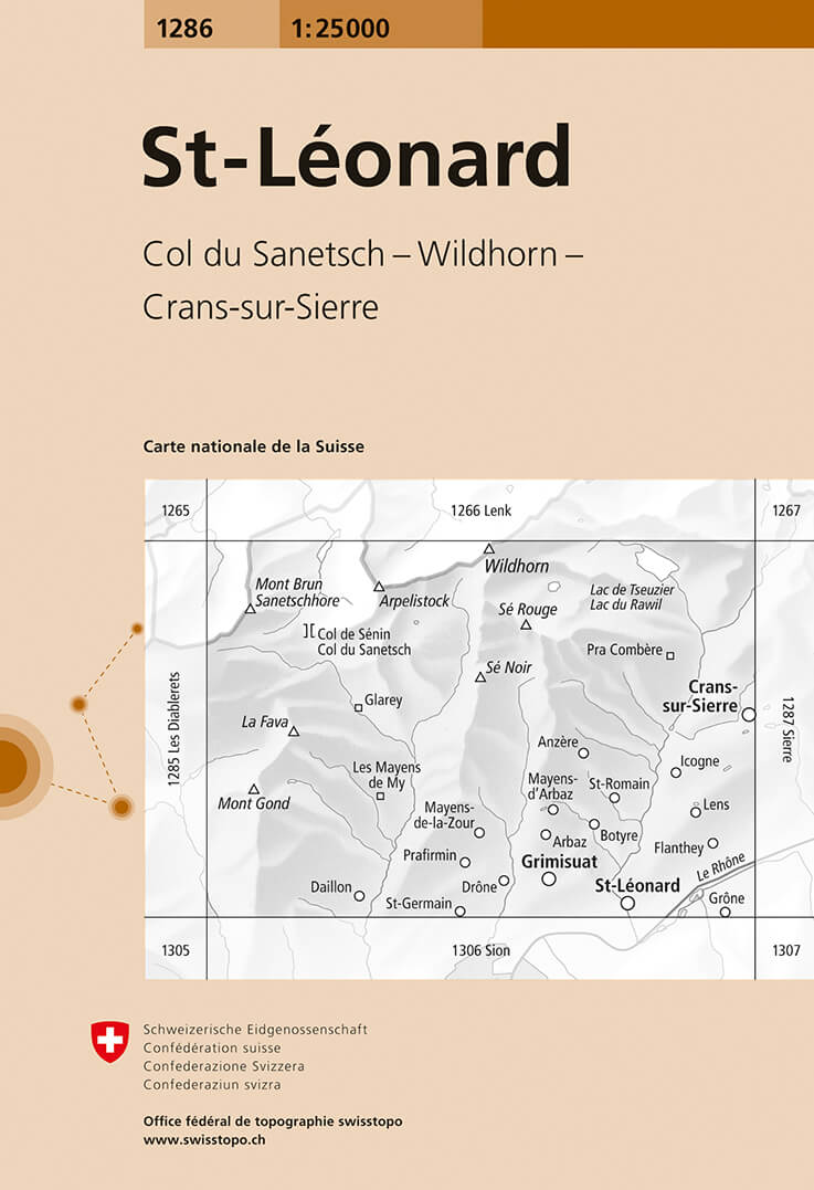
  • Wandelkaart - Topografische kaart 1286 St.Leonard | Swisstopo
  • Zeer gedetailleerde wandelkaart van een deel van Zwitserland. De topografische details van deze kaarten zijn onovertroffen; de werkelijkheid is perfect weergegeven op deze kaart van uitzonderlijk hoog niveau. Ze zijn geschikt voor alle soorten gebruik: voor eenvoudige wandeltochten in simpel terrein tot zware bergtochten en beklimmingen van de... Lire la suite
» Click to close
Bol.com
Netherlands
» Click to open
Bol.com
Belgium
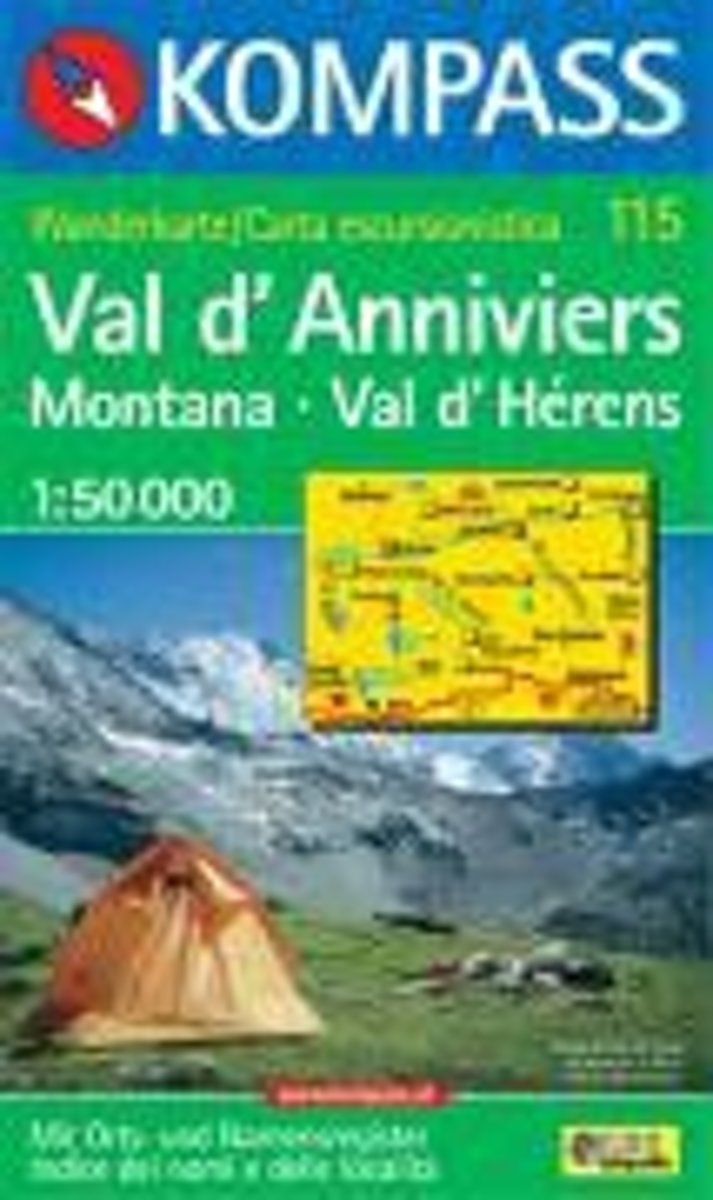
  • Val d'Anniviers, Montana, Val d'Hérens WK115
  • Deze Kompass wandelkaart, schaal 1:50 000, is ideaal om uw route uit te stippelen en om onderweg te gebruiken • naast de bekende bestemmingen, worden ook de minder bekende vermeld • openbaar vervoer bij begin- of eindpunt van een route aangegeven • eenvoudige wandelingen tot pittige (berg)tochten, voor getrainde en ongetrainde wandelaars • met... Lire la suite
» Click to close
Stanfords
United Kingdom
» Click to open
Bol.com
Netherlands
  • Glacier/waterton Lakes National Parks
  • Waterproof Tear-Resistant Topographic MapNational Geographic's Trails Illustrated map of Glacier and Waterton Lakes National Parks offers unparalleled detail for outdoor enthusiasts exploring the pristine landscape of forests, mountains, lakes, and meadows within these two spectacular parks. Created in partnership with local land... Lire la suite
Bol.com
Belgium
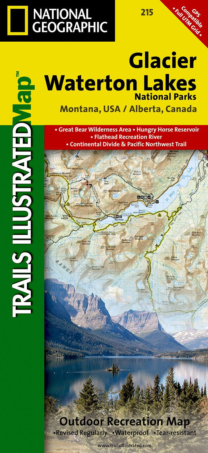
  • Glacier/waterton Lakes National Parks
  • Waterproof Tear-Resistant Topographic MapNational Geographic's Trails Illustrated map of Glacier and Waterton Lakes National Parks offers unparalleled detail for outdoor enthusiasts exploring the pristine landscape of forests, mountains, lakes, and meadows within these two spectacular parks. Created in partnership with local land... Lire la suite
De Zwerver
Netherlands
» Click to close
Stanfords
United Kingdom
» Click to open
The Book Depository
United Kingdom
Bol.com
Netherlands
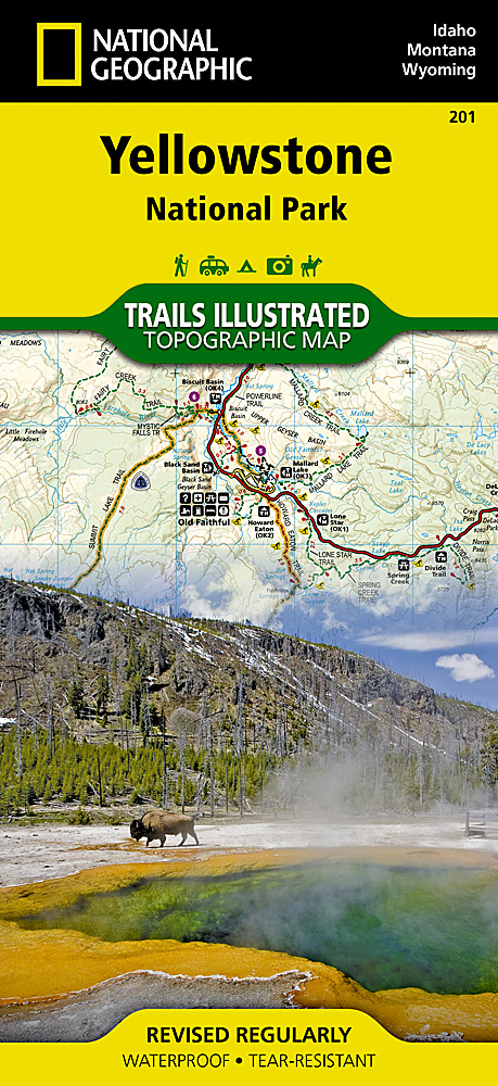
  • Yellowstone National Park
  • • Waterproof • Tear-Resistant • Topographic MapNational Geographic's Trails Illustrated map of Yellowstone National Park is designed to meet the needs of outdoor enthusiasts by combining valuable information with unmatched detail of America's first national park. Expertly researched and created in partnership with local land management... Lire la suite
Bol.com
Belgium
  • Yellowstone National Park
  • • Waterproof • Tear-Resistant • Topographic MapNational Geographic's Trails Illustrated map of Yellowstone National Park is designed to meet the needs of outdoor enthusiasts by combining valuable information with unmatched detail of America's first national park. Expertly researched and created in partnership with local land management... Lire la suite
De Zwerver
Netherlands
» Click to close