The Book Depository
United Kingdom
Bol.com
Netherlands
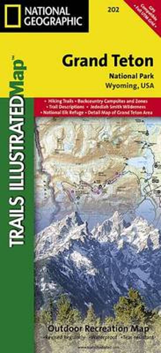
- Grand Teton National Park
- Waterproof Tear-Resistant Topographic MapExpertly researched and created in partnership with local land management agencies, National Geographic's Trails Illustrated map of Grand Teton National Park provides an unparalleled tool for exploring this magnificent region. This map offers unmatched detail of the entire park and features key... Lire la suite
Bol.com
Belgium
- Grand Teton National Park
- Waterproof Tear-Resistant Topographic MapExpertly researched and created in partnership with local land management agencies, National Geographic's Trails Illustrated map of Grand Teton National Park provides an unparalleled tool for exploring this magnificent region. This map offers unmatched detail of the entire park and features key... Lire la suite

De Zwerver
Netherlands
- Wandelkaart 202 Grand Teton National Park | National Geographic
- Prachtige geplastificeerde kaart van het bekende nationaal park. Met alle recreatieve voorzieningen als campsites, maar ook met topografische details en wandelroutes ed. Door uitgekiend kleurgebruik zeer prettig in gebruik. Scheur en watervast! De meeste kaarten hebben een UTM grid en zijn dan ook GPS toepasbaar. Coverage includes town of Lead,... Lire la suite