Algarve
Description
Sentiers de cette région
Liens
Données
Rapports
Guides et cartes
Hébergement
Organisations
Voyagistes
GPS
Autre
Livres

Stanfords
United Kingdom
2021
United Kingdom
2021
- DK Eyewitness Portugal
- Welcome to Portugal, a sunseekers` paradise.Whether you`re looking for world-renowned beaches, serene hilltop villages, verdant islands, or captivating cities, your DK Eyewitness travel guide makes sure you experience all that Portugal has to offer.Small but immensely varied, Portugal offers countless opportunities for adventure. From the... Lire la suite

Stanfords
United Kingdom
United Kingdom
- Algarve Marco Polo Pocket Travel Guide 2018 - with pull out map
- Marco Polo Pocket Guide Algarve: the Travel Guide with Insider Tips Explore the Algarve with this handy, pocket-sized, authoritative guide, packed with Insider Tips. Discover boutique hotels, authentic restaurants, the region`s trendiest places, and get tips on shopping and what to do on a limited budget. There are plenty of ideas for travel... Lire la suite

Stanfords
United Kingdom
2019
United Kingdom
2019
- Portugal`s Rota Vicentina: Alentejo and Algarve coastal route
- Guidebook to walking Portugal`s Rota Vicentina, a stunning 220km route down the southwestern Atlantic coast, through the Alentejo and Algarve districts. The route, which is suitable for all fit walkers and is not technically difficult, is described across 12 stages, making it perfect for a two-week holiday.Walkers who appreciate sunny days,... Lire la suite

Stanfords
United Kingdom
2012
United Kingdom
2012
- Algarve Car Tours and Walks - 6th ed.
- Algarve in the Sunflower Landscapes guide series; exploring the best walking and touring possibilities in the region or area. Detailed information about touring by hired car or public transport, as well as on foot is provided, helping walkers to navigate and plan day-trips. Shorter strolls are also included as an alternative for each main route... Lire la suite

Stanfords
United Kingdom
2015
United Kingdom
2015
- Algarve Sunflower Landscape Guide
- Algarve in the Sunflower Landscapes guide series; exploring the best walking and touring possibilities in the region or area. Detailed information about touring by hired car or public transport, as well as on foot is provided, helping walkers to navigate and plan day-trips. Shorter strolls are also included as an alternative for each main route... Lire la suite

Stanfords
United Kingdom
United Kingdom
- Eastbourne, Hastings, Crowborough, Battle & Heathfield OS Landranger Active Map 199 (waterproof)
- Eastbourne and Hastings area, including the Seven Sisters and sections of the South Downs Way and the E9 European Long-distance Path, on a waterproof and tear-resistant OS Active version of map No. 199 from the Ordnance Survey’s Landranger series at 1:50,000, with contoured and GPS compatible topographic mapping plus tourist information.MOBILE... Lire la suite

Stanfords
United Kingdom
United Kingdom
- Bournemouth, Purbeck, Wimborne Minster & Ringwood OS Landranger Active Map 195 (waterproof)
- Bournemouth and the Isle of Purbeck area, including part of the New Forest National Park and a section of the South West Coast Path / E9 European Long-distance Path, on a waterproof and tear-resistant OS Active version of map No. 195 from the Ordnance Survey’s Landranger series at 1:50,000, with contoured and GPS compatible topographic mapping... Lire la suite

Stanfords
United Kingdom
United Kingdom
- The Solent, Isle of Wight, Southampton & Portsmouth OS Landranger Active Map 196 (waterproof)
- Isle of Wight with the Southampton - Portsmouth area, including part of the New Forest National Park and a section of the E9 European Long-distance Path, on a waterproof and tear-resistant OS Active version of map No. 196 from the Ordnance Survey’s Landranger series at 1:50,000, with contoured and GPS compatible topographic mapping plus tourist... Lire la suite

Stanfords
United Kingdom
United Kingdom
- Exeter, Sidmouth, Exmouth & Teignmouth OS Landranger Map 192 (paper)
- Exeter and Sidmouth area, including a section of the South West Coast Path / E9 European Long-distance Path, on a paper version of map No. 192 from the Ordnance Survey’s Landranger series at 1:50,000, with contoured and GPS compatible topographic mapping plus tourist information.MOBILE DOWNLOADS: As well as the physical edition of the map, each... Lire la suite
- Also available from:
- The Book Depository, United Kingdom
- De Zwerver, Netherlands


De Zwerver
Netherlands
Netherlands

Stanfords
United Kingdom
United Kingdom
- Purbeck & South Dorset - Poole, Dorchester - Weymouth & Swanage OS Explorer Active Map OL15 (waterproof)
- Purbeck and the southern part of Dorset on a detailed topographic and GPS compatible map OL15, waterproof version, from the Ordnance Survey’s 1:25,000 Explorer series. Coverage extends from Poole and Swanage in the east to Bridport in the west, and includes Dorchester, Tolpuddle, Bere Regis, Wareham, Weymouth, Chesil Beach, Portland Bill, the... Lire la suite
- Also available from:
- The Book Depository, United Kingdom

The Book Depository
United Kingdom
United Kingdom

Stanfords
United Kingdom
United Kingdom
- Chichester, South Downs, Bognor Regis & Arundel OS Landranger Active Map 197 (waterproof)
- Chichester and Bognor Regis area, including the South Downs National Park and a section of the South Downs Way / E9 European Long-distance Path, on a waterproof and tear-resistant OS Active version of map No. 197 from the Ordnance Survey’s Landranger series at 1:50,000, with contoured and GPS compatible topographic mapping plus tourist... Lire la suite
- Also available from:
- The Book Depository, United Kingdom


Stanfords
United Kingdom
United Kingdom
- Taunton, Lyme Regis, Chard & Bridport OS Landranger Map 193 (paper)
- Taunton and Lyme Regis area, including a section of the South West Coast Path / E9 European Long-distance Path, on a paper version of map No. 193 from the Ordnance Survey’s Landranger series at 1:50,000, with contoured and GPS compatible topographic mapping plus tourist information.MOBILE DOWNLOADS: As well as the physical edition of the map,... Lire la suite
- Also available from:
- The Book Depository, United Kingdom
- De Zwerver, Netherlands


De Zwerver
Netherlands
Netherlands

Stanfords
United Kingdom
United Kingdom
- Vignemale - Valle de Bujaruelo Editorial Alpina
- Cross-border area of the Pyrenees at 1:25,000 on a contoured and GPS compatible map covering on the Spanish side the valleys of Bujaruelo and Ara with the western section of the Ordesa National Park and the Ordesa Valley, and within France extending from the Vignemale Massif to Gavarnie, plus a Spanish/French booklet with recommendations for... Lire la suite
- Also available from:
- The Book Depository, United Kingdom
- De Zwerver, Netherlands

The Book Depository
United Kingdom
United Kingdom
- Vignemale - Valle de Bujaruelo
- Cross-border area of the Pyrenees at 1:25,000 on a contoured and GPS compatible map covering on the Spanish side the valleys of Bujaruelo and Ara with the western section of the Ordesa National Park and the Ordesa Valley, and within France extending from the Vignemale Massif to Gavarnie, plus a Spanish/French booklet with recommendations for... Lire la suite

De Zwerver
Netherlands
Netherlands
- Wandelkaart 06 Vignemale - Valle de Bujaruelo | Editorial Alpina
- Cross-border area of the Pyrenees at 1:25,000 on a contoured and GPS compatible map covering on the Spanish side the valleys of Bujaruelo and Ara with the western section of the Ordesa National Park and the Ordesa Valley, and within France extending from the Vignemale Massif to Gavarnie, plus a Spanish/French booklet with recommendations for... Lire la suite

Stanfords
United Kingdom
United Kingdom
- Canterbury, East Kent, Dover & Margate OS Landranger Active Map 179 (waterproof)
- Eastern Kent with Canterbury, Dover and Margate, including sections of the North Downs Way and the E2 and E9 European Long-Distance Paths, on a waterproof and tear-resistant OS Active version of map No. 179 from the Ordnance Survey’s Landranger series at 1:50,000, with contoured and GPS compatible topographic mapping plus tourist... Lire la suite
- Also available from:
- The Book Depository, United Kingdom


Stanfords
United Kingdom
United Kingdom
- Brighton, Lewes, Worthing, Horsham & Haywards Heath OS Landranger Active Map 198 (waterproof)
- Brighton and Lewes area, including the South Downs National Park and a section of the South Downs Way / E9 European Long-distance Path, on a waterproof and tear-resistant OS Active version of map No. 198 from the Ordnance Survey’s Landranger series at 1:50,000, with contoured and GPS compatible topographic mapping plus tourist... Lire la suite
- Also available from:
- The Book Depository, United Kingdom

Cartes
Stanfords
United Kingdom
United Kingdom
- Ordesa - Monte Perdido National Park Editorial Alpina 2-Map Set
- Ordesa and Monte Perdido National Park at 1:25,000 in a set of two GPS compatible recreational maps in an extensive and very popular series from Editorial Alpina, providing more detailed coverage of this popular hiking area.Contours are at 10m intervals, with relief shading and vegetation colouring. An overprint highlights waymarked PR hiking... Lire la suite

Stanfords
United Kingdom
United Kingdom
- GR 11: La Senda
- GR11 long-distance footpaths along the Spanish side of the Pyrenees in a French language guide from Rando Editions, with extracts from the publisher’s topographic series at 1:50,000 highlighting the route and mountain refuges.The guide divides the route into 40 sections and covers it from the Mediterranean, starting at Cap de Creus on the Costa... Lire la suite

Stanfords
United Kingdom
United Kingdom
- Terres de l`Ebre
- Terres de l`Ebre map at 1:100,000 in the topographic survey of Catalonia published by the Institut Cartogràfic de Catalunya, with very detailed coverage of a large area and an excellent representation of the region’s topography. Maps in this series have relief presented by contours at 40m intervals, enhanced by additional hill-shading and spot... Lire la suite

Stanfords
United Kingdom
United Kingdom
- Hungarian National Long-distance Blue Trail (E7): Irott-ko to Szekszard
- Hiking guide to the western section of Hungary’s National Blue Trail, including part of the E7 European long-distance footpath. The guide covers the route from Írott-ko in the Koszegi range on the Austrian border, across the Orség National Park and the Mecsek Hills near Pécs, to Szekszárd. At the border crossing with Slovakia near... Lire la suite
Stanfords
United Kingdom
United Kingdom
- Pla de Lleida
- Pla de Lleida map at 1:100,000 in the topographic survey of Catalonia published by the Institut Cartogràfic de Catalunya, with very detailed coverage of a large area and an excellent representation of the region’s topography. Maps in this series have relief presented by contours at 40m intervals, enhanced by additional hill-shading and spot... Lire la suite
Stanfords
United Kingdom
United Kingdom
- Pirineu Occidental
- Pirineu Occidental, the western part of the Catalan Pyrenees, at 1:100,000 in the topographic survey of Catalonia published by the Institut Cartogràfic de Catalunya, with very detailed coverage of a large area and an excellent representation of the region’s topography.Maps in this series have relief presented by contours at 40m intervals,... Lire la suite
Stanfords
United Kingdom
United Kingdom
- Camp de Tarragona
- Camp de Tarragona map at 1:100,000 in the topographic survey of Catalonia published by the Institut Cartogràfic de Catalunya, with very detailed coverage of a large area and an excellent representation of the region’s topography. Maps in this series have relief presented by contours at 40m intervals, enhanced by additional hill-shading and spot... Lire la suite

Stanfords
United Kingdom
United Kingdom
- Barcelona and Environs ICGC 100K 5
- Barcelona and Environs map at 1:100,000 in the topographic survey of Catalonia published by the Institut Cartogràfic de Catalunya, with very detailed coverage of a large area and an excellent representation of the region’s topography. Maps in this series have relief presented by contours at 40m intervals, enhanced by additional hill-shading and... Lire la suite
Stanfords
United Kingdom
United Kingdom
- Comarques Centrales
- Comarques Centrales, the foothills of the Catalan Pyrenees including Ripoll, Olot, Berga, Vic, Solsona, etc, at 1:100,000 in the topographic survey of Catalonia published by the Institut Cartogràfic de Catalunya, with very detailed coverage of a large area and an excellent representation of the region’s topography.Maps in this series have... Lire la suite

Stanfords
United Kingdom
United Kingdom
- Costa Vicentina 2-Map Set F&B WKP4
- The ”Costa Vicentina” hiking map set shows the most famous Portuguese long-distance hiking trail on a scale of 1:50,000. The entire region around the picturesque Rota Vicentina is shown in great detail on 4 sheets. Hikers will find all the important information they need to walk the Fisherman`s Trail and the Historical Trail in full or in... Lire la suite

Stanfords
United Kingdom
United Kingdom
- Pirineu Oriental - Girona - Costa Brava
- Pirineu Oriental - Girona - Costa Brava map, covering the eastern part of the Catalan Pyrenees and the coast southwards to Pineda de Mar at 1:100,000 in the topographic survey of Catalonia published by the Institut Cartogràfic de Catalunya, with very detailed coverage of a large area and an excellent representation of the region’s topography.... Lire la suite

Stanfords
United Kingdom
United Kingdom
- La Senda de Camille Editorial Alpina
- La Senda de Camille, the Pyrenean Bear Trail, a 104-km circuit in the central Pyrenees, on a contoured GPS compatible map at 1:25,000 from Editorial Alpina, plus a booklet providing information on mountain refuges. The route, which crosses over from the Spanish side to the Parc National des Pyrénées in France and incorporates part of the... Lire la suite

Stanfords
United Kingdom
United Kingdom
- Carros de Foc Hiking Circuit Editorial Alpina
- Carros de Foc (Chariots of Fire) Hiking Circuit, a five to seven day long hiking route in the Aigüestortes i Estany de Sant Maurici National Park, shown on a 1:25,000 map from Editorial Alpina. The map, from the publishers of an extensive hiking series for the Spanish Pyrenees, has contours at 20m intervals, relief shading, and vegetation... Lire la suite
- Also available from:
- The Book Depository, United Kingdom


The Book Depository
United Kingdom
2017
United Kingdom
2017
- Senda Pirenaica GR11 guide and map Cabo Higer - Cap de Creus 2017
- Set van 21 kaarten, schaal 1:50.000, met intekening van de GR11, de lange-afstandswandeling door de Spaanse Pyreneeën. Van kust tot kust, van Cabo Higuer (bij Irun) naar Cap de Creus (Costa Brava). Onderverdeeld in 43 trajecten. Met hoogteprofielen, gemiddelde looptijden, afstanden, locaties van berghutten, campings en hotels. Lire la suite
- Also available from:
- De Zwerver, Netherlands
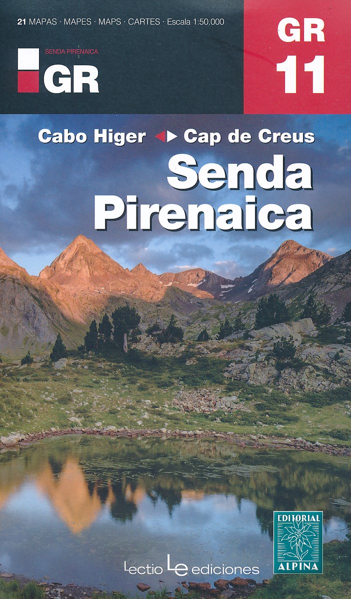
De Zwerver
Netherlands
2017
Netherlands
2017
- Wandelkaart Senda Pirenaica GR11 | Editorial Alpina
- Set van 21 kaarten, schaal 1:50.000, met intekening van de GR11, de lange-afstandswandeling door de Spaanse Pyreneeën. Van kust tot kust, van Cabo Higuer (bij Irun) naar Cap de Creus (Costa Brava). Onderverdeeld in 43 trajecten. Met hoogteprofielen, gemiddelde looptijden, afstanden, locaties van berghutten, campings en hotels. Lire la suite

Stanfords
United Kingdom
United Kingdom
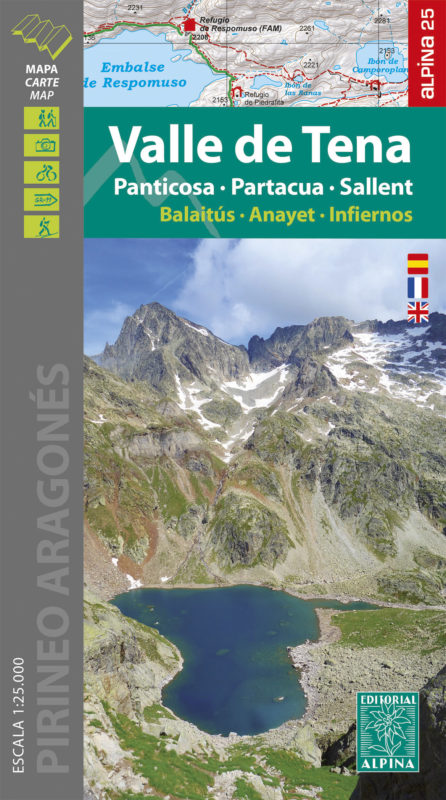
- Valle de Tena - Panticosa - Partacua - Sallent Editorial Alpina
- Valle de Tena in the central part of the Spanish Pyrenees on a contoured and GPS compatible map at 1:25,000 from Editorial Alpina, with coverage including Panticosa, Sallent de Gállego, Sierra de Partacua, Sierra de Tendeñera, etc. Accompanying booklet includes contact details for campsites, refuges, etc.Topography is presented by contours at... Lire la suite
- Also available from:
- The Book Depository, United Kingdom
- De Zwerver, Netherlands