
Yorkshire Wolds Way
Description
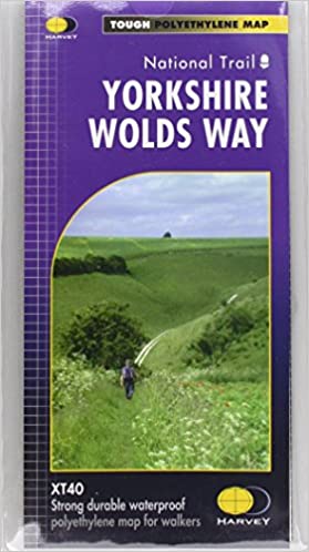
- Name Yorkshire Wolds Way
- Distance de sentier 127 km, 79 milles
- Durée en jours 6 jours
- Classement Traildino EW, Marche facile, sentier de la nature
 79 miles, 127 km, 6 days
National Trail
The Yorkshire Wolds are formed by a series of low calcareous hills, from the Humber to the coast of North England. The path starts at the bank of the Humber Estuary and ends in Filey. There, at the cliffs on the east coast, you hit on the trail end of the Cleveland Way. So, if you have time and energy left, after 6 days of hiking the yorkshire Wolds Way, continue along the beautiful coastline north.
The hills through which this National Trail runs, rarely exceed 200 meter in height. The valleys are deeply cut, steep and therefore in use as pasture for sheep. The higher grounds are fertile but stony. The land is divided in large pieces where wheat, barley and oilseed rape are grown. In wintertime the country lies fallow.
This path is not as crowded as other National Trails. Overnight accommodation is available, but sparingly, and a good preparation is necessary.
Carte

Liens
Données
Rapports
Guides et cartes
Hébergement
Organisations
Voyagistes
GPS
Autre
Livres

- Also available from:
- De Zwerver, Netherlands

United Kingdom
2016
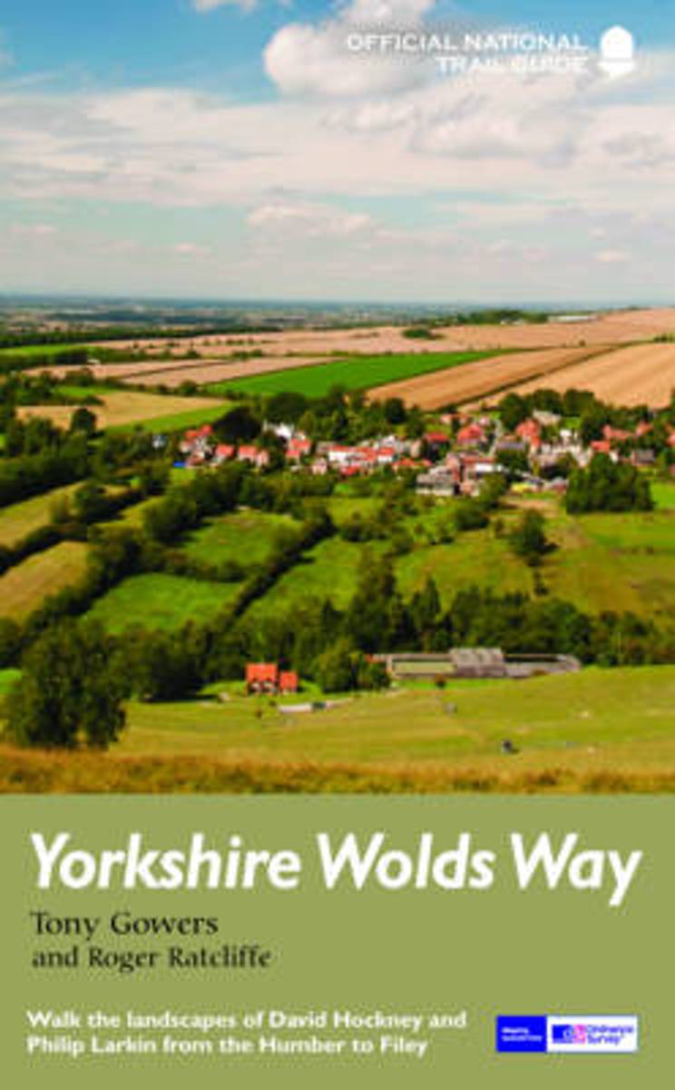
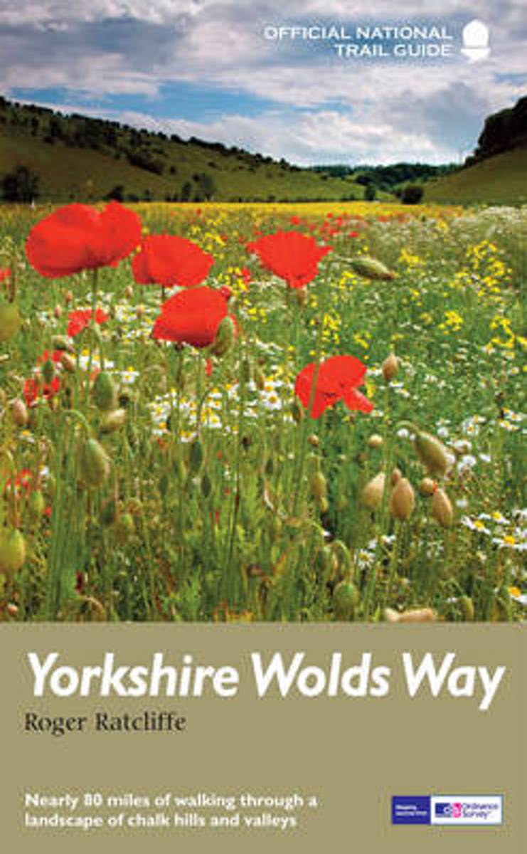
- Yorkshire Wolds Way
- The Yorkshire Wolds were brought to international attention in 2012 by David Hockney`s magnificent Royal Academy exhibition of paintings of the region. Now, Tony Gowers` completely updated, expanded and re-designed National Trail Guide offers the essential companion to the forgotten but fascinating landscape through which this Trail runs. The... Lire la suite
- Also available from:
- The Book Depository, United Kingdom
- Bol.com, Netherlands
- Bol.com, Belgium
- De Zwerver, Netherlands

Netherlands
2016
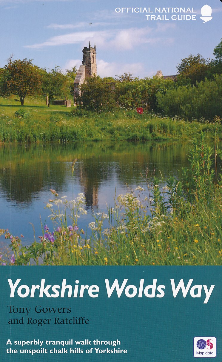
- Yorkshire Wolds Way
- The Yorkshire Wolds were brought to international attention in 2012 by David Hockney's magnificent Royal Academy exhibition of paintings of the region. Now, Tony Gowers' completely updated, expanded and re-designed National Trail Guide offers the essential companion to the forgotten but fascinating landscape through which this Trail runs. The... Lire la suite
Belgium
2016
- Yorkshire Wolds Way
- The Yorkshire Wolds were brought to international attention in 2012 by David Hockney's magnificent Royal Academy exhibition of paintings of the region. Now, Tony Gowers' completely updated, expanded and re-designed National Trail Guide offers the essential companion to the forgotten but fascinating landscape through which this Trail runs. The... Lire la suite
Netherlands
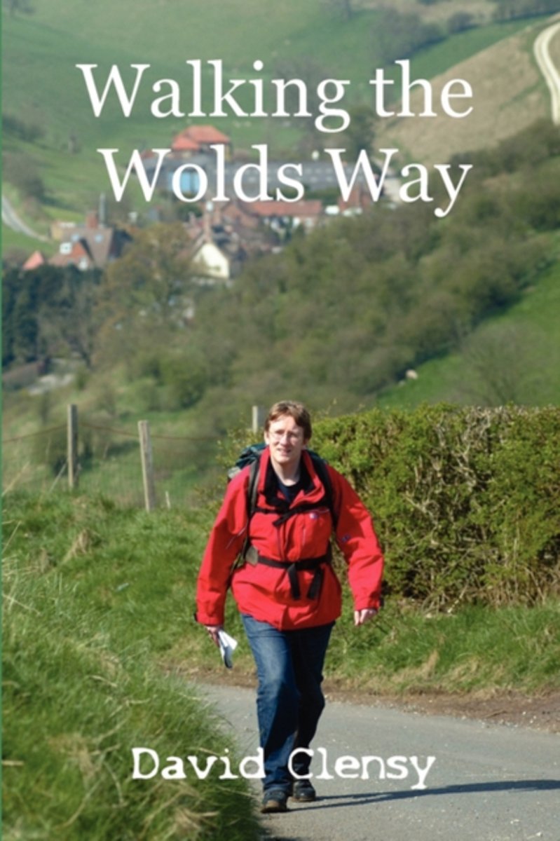
- Walking the Wolds Way
- David Clensy had never walked further than his car door when he decided to take on the 80 miles of the Yorkshire Wolds Way. Join him as he steps out on the trek from Hull to Filey. Whether you're planning to walk the Way or just fancy a chuckle at someone else's misfortunes, you are sure to be engrossed in the journey. Lire la suite
- Also available from:
- Bol.com, Belgium
Belgium
- Walking the Wolds Way
- David Clensy had never walked further than his car door when he decided to take on the 80 miles of the Yorkshire Wolds Way. Join him as he steps out on the trek from Hull to Filey. Whether you're planning to walk the Way or just fancy a chuckle at someone else's misfortunes, you are sure to be engrossed in the journey. Lire la suite

United Kingdom
2016
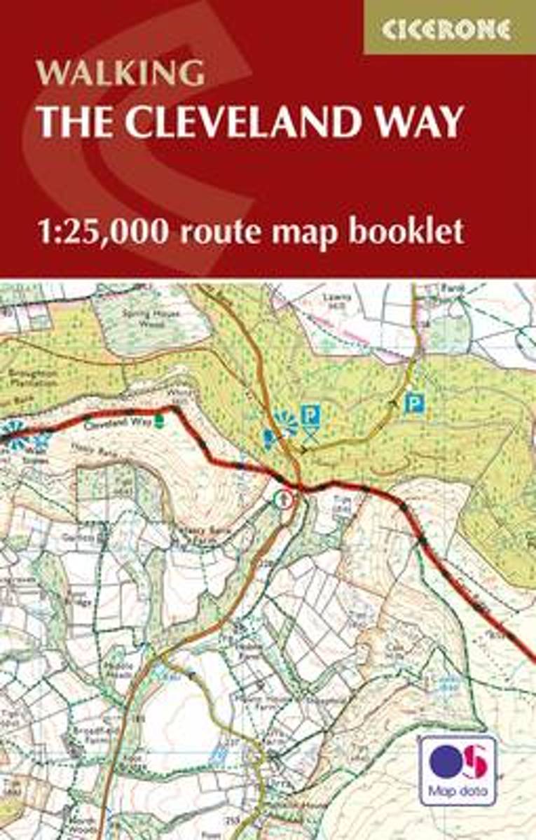
- The Cleveland Way Cicerone Map Booklet
- All the mapping you need to complete the Cleveland Way national trail. A long-distance route of 177 km (110 miles), giving around 9 days of easy and enjoyable walking through the North York Moors National Park, taking in open heather moorlands, gentle dales, interesting towns and villages, and dramatic cliff coastlines. This booklet of... Lire la suite
- Also available from:
- The Book Depository, United Kingdom
- Bol.com, Netherlands
- Bol.com, Belgium

United Kingdom
2016
- The Cleveland Way Map Booklet
- 1:25,000 OS Route Mapping Lire la suite
Netherlands
2016
- The Cleveland Way Map Booklet
- All the mapping you need to complete the Cleveland Way national trail. A long-distance route of 177 km (110 miles), giving around 9 days of easy and enjoyable walking through the North York Moors National Park, taking in open heather moorlands, gentle dales, interesting towns and villages, and dramatic cliff coastlines. This booklet of Ordnance... Lire la suite
Belgium
2016
- The Cleveland Way Map Booklet
- All the mapping you need to complete the Cleveland Way national trail. A long-distance route of 177 km (110 miles), giving around 9 days of easy and enjoyable walking through the North York Moors National Park, taking in open heather moorlands, gentle dales, interesting towns and villages, and dramatic cliff coastlines. This booklet of Ordnance... Lire la suite
Netherlands
- Yorkshire Wolds Way
- The Yorkshire Wolds Way runs for the 79 miles (127km) over the gently rolling chalk hills between Hessle Haven and the Cliffs above Filey. Beginning by the Humber estuary, you can follow the countryside agency's acorn waymarks through wooded slopes and valleys, past the deserted medieval village of Wharram Percy to the geological curiosity of... Lire la suite
- Also available from:
- Bol.com, Belgium
Belgium
- Yorkshire Wolds Way
- The Yorkshire Wolds Way runs for the 79 miles (127km) over the gently rolling chalk hills between Hessle Haven and the Cliffs above Filey. Beginning by the Humber estuary, you can follow the countryside agency's acorn waymarks through wooded slopes and valleys, past the deserted medieval village of Wharram Percy to the geological curiosity of... Lire la suite

United Kingdom
2016
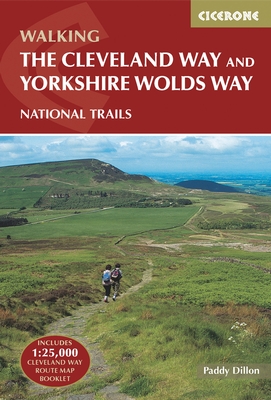
- Cleveland Way and Yorkshire Wolds Way
- The Cleveland Way National Trail offers a fine 110 mile walk around the North York Moors National Park, enjoying scenery that includes the open heather moorlands, gentle dales, interesting towns and villages, and dramatic cliff coastline. The Tabular Hills Walk is a 50 mile Regional Trail between Scalby Mills, near Scarborough and Hemsley, far... Lire la suite
- Also available from:
- The Book Depository, United Kingdom
- Bol.com, Netherlands
- Bol.com, Belgium
- De Zwerver, Netherlands

United Kingdom
2016
- The Cleveland Way and the Yorkshire Wolds Way
- Includes 1:25,000 Cleveland Way route map booklet Lire la suite

Netherlands
2016
- The Cleveland Way and the Yorkshire Wolds Way
- Guidebook to the Cleveland Way and Yorkshire Wolds Way National Trails, plus the Tabular Hills Walk link route. The guidebook also contains a 1:25,000 scale OS route map booklet of the Cleveland Way. The Cleveland Way National Trail, described in seven day stages, is a fine 177km (110 miles) walk around the North York Moors National Park from... Lire la suite
Belgium
2016
- The Cleveland Way and the Yorkshire Wolds Way
- Guidebook to the Cleveland Way and Yorkshire Wolds Way National Trails, plus the Tabular Hills Walk link route. The guidebook also contains a 1:25,000 scale OS route map booklet of the Cleveland Way. The Cleveland Way National Trail, described in seven day stages, is a fine 177km (110 miles) walk around the North York Moors National Park from... Lire la suite
Netherlands
2016