GR131 Camino de la Virgen
Description
- Name GR131 Camino de la Virgen (GR131)
- Distance de sentier 42 km, 26 milles
- Durée en jours 2 jours
- Début de sentier Faro de Orchilla
- Fin de sentier Tamaduste / Puerto de la Estaca
- Classement Traildino MW, Marche modérée, sentier de randonnée
- Classement Traversée de montagne T1, Randonnée


GR131, Camino de la Virgen, Faro de Orchilla - Tamaduste / Puerto de la Estaca, 42 km, 2 days
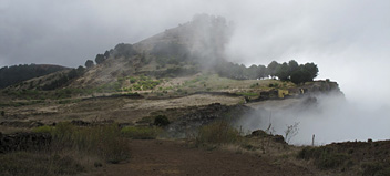
This trail is on El Hierro, the smallest island of the Canary Islands. El Hierro rises sharply from the ocean. The trail starts on dark and bleak lava grounds, at the east coast of the island. It then climbs to the central spine of El Hierro from where you have great views over the ocean and on the collapsed land masses of the island.
The highest point is 1.500 meters, Pico de Malpaso. Shrubs grow here. Probably by now there will be a wind farm somewhere too. At the eastern end of the island, the trail passes through some villages, arid fields. It then gently descends right to the airport of Tamaduste or to Puerto de la Estaca, serviced by the ferries to the other islands.
The GR131 is part of the European long distance path E7.
Check the complete list of Canary Islands.
Liens
Données
Rapports
Guides et cartes
Hébergement
Organisations
Voyagistes
GPS
Autre
Livres

United Kingdom
2023
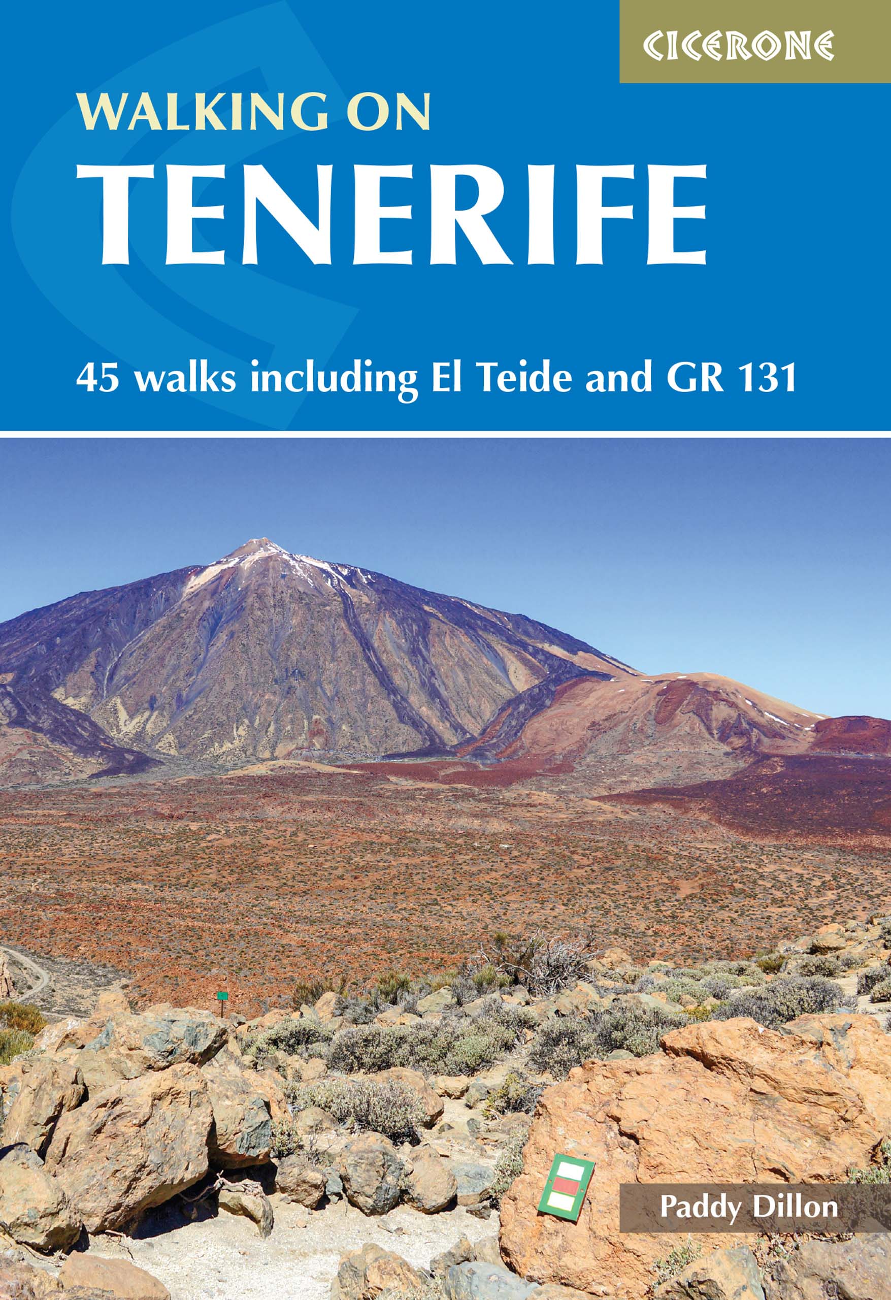
- Walking on Tenerife
- 45 walks including El Teide and GR 131 Lire la suite
- Also available from:
- De Zwerver, Netherlands
Netherlands
2023
- Wandelgids Walking on Tenerife | Cicerone
- 45 walks including El Teide and GR 131 Lire la suite

United Kingdom
2019
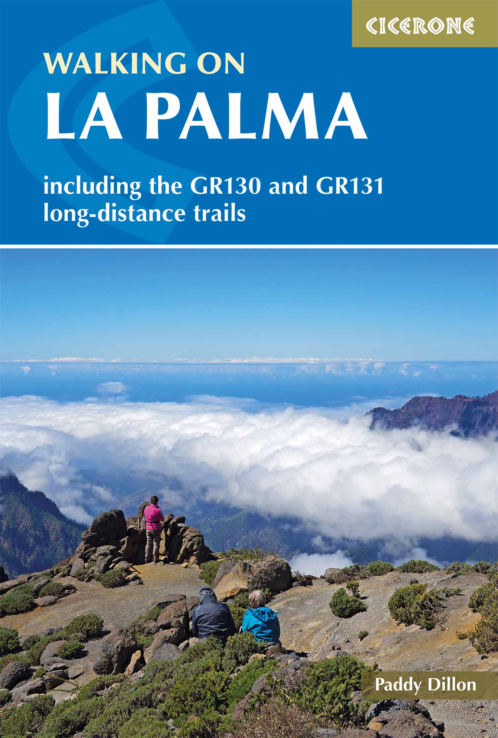
- Walking on La Palma
- Including the GR130 and GR131 long-distance trails Lire la suite
- Also available from:
- De Zwerver, Netherlands
Netherlands
2019
- Wandelgids Walking on La Palma | Cicerone
- Guidebook to 45 walks and scrambles on La Palma in the Canary Islands, ranging from 7 to 31km. Some walks combine to complete the GR130 long-distance trail (eight days) and GR131 trail (three days). Areas explored include Santa Cruz and Buenavista. Contains a Spanish-English glossary. Lire la suite
- Also available from:
- De Zwerver, Netherlands

United Kingdom
2019
- Trekking in the Canary Islands: The GR131 island-hopping route
- This guidebook provides a comprehensive and detailed description of the GR131, an island-hopping trail across the seven Canary Islands. The 560km (348 mile) route begins on Lanzarote and finishes on El Hierro and is presented in 32 daily stages. The route is well waymarked but some navigational skills are required, and the remote and occasional... Lire la suite
- Also available from:
- The Book Depository, United Kingdom
- De Zwerver, Netherlands

United Kingdom
2019
- Trekking in the Canary Islands
- The GR131 island-hopping route Lire la suite

Netherlands
2019
- Wandelgids Trekking in the Canary Islands: The GR131 Island Hopping Route | Cicerone
- Guidebook to the GR131, an island-hopping trail that runs coast to coast across each of the 7 Canary Islands, a sub-tropical Spanish archipelago. Described over 32 stages, the route begins on Lanzarote, finishes on El Hierro, measures 560km (348 miles) and would take an average trekker about 1 month to complete. Lire la suite

United Kingdom
2020
- Walking on Gran Canaria
- 45 day walks including five days on the GR131 coast-to-coast route Lire la suite
- Also available from:
- De Zwerver, Netherlands

Netherlands
2020
- Wandelgids Walking on Gran Canaria | Cicerone
- Guidebook describing 45 day walks on Gran Canaria, generally averaging 10 to 12km each. A long-distance coast-to-coast route on the GR131 is included, and shorter walks can be linked to form longer itineraries. One of the larger Canary Islands, Gran Canaria is a popular destination but offers many peaceful, rural areas perfect for walking. Lire la suite

United Kingdom
2020
- Walking on La Gomera and El Hierro
- 45 day walks and treks for all abilities Lire la suite
- Also available from:
- De Zwerver, Netherlands

Netherlands
- La Palma Tour & Trail Super-Durable Map
- La Palma Tour & Trail Super-Durable Map 4th edition isbn 9781904946922. New 2013 4th Edition of our La Palma Tour & Trail Super-Durable Map is now available. Our large 1:40,000 scale, combined with splitting the island into a North (Landscape view) and South (Portrait view) with a generous overlap, produces double sided map whose total size is... Lire la suite
- Also available from:
- Bol.com, Belgium

Belgium
- La Palma Tour & Trail Super-Durable Map
- La Palma Tour & Trail Super-Durable Map 4th edition isbn 9781904946922. New 2013 4th Edition of our La Palma Tour & Trail Super-Durable Map is now available. Our large 1:40,000 scale, combined with splitting the island into a North (Landscape view) and South (Portrait view) with a generous overlap, produces double sided map whose total size is... Lire la suite

United Kingdom
- Lanzarote Tour & Trail Super-Durable Map
- Lanzarote Tour & Trail Super-Durable Map 5th edition covers this big island at a scale of 1:40,000 resulting in the most detailed and toughest map of Lanzarote that you can buy. Large 960mm by 700mm double sided map sheet with generous overlap, to reduce turning the map in use, folds to 235mm by 120mm pocket size using our special `concertina... Lire la suite
- Also available from:
- Bol.com, Netherlands
- Bol.com, Belgium

Netherlands
- Lanzarote Tour & Trail Super-Durable Map
- This map is being replaced by a new 4th edition published on 9 May 2016 ISBN 9781782750277. Lanzarote Tour & Trail Map 3rd edition Super-Durable version covers this big island at a scale of 1:40,000 resulting in the most detailed and toughest map of Lanzarote that you can buy. All the country walking routes from our new 3rd edition of Walk!... Lire la suite

Belgium
- Lanzarote Tour & Trail Super-Durable Map
- This map is being replaced by a new 4th edition published on 9 May 2016 ISBN 9781782750277. Lanzarote Tour & Trail Map 3rd edition Super-Durable version covers this big island at a scale of 1:40,000 resulting in the most detailed and toughest map of Lanzarote that you can buy. All the country walking routes from our new 3rd edition of Walk!... Lire la suite
Netherlands
2010
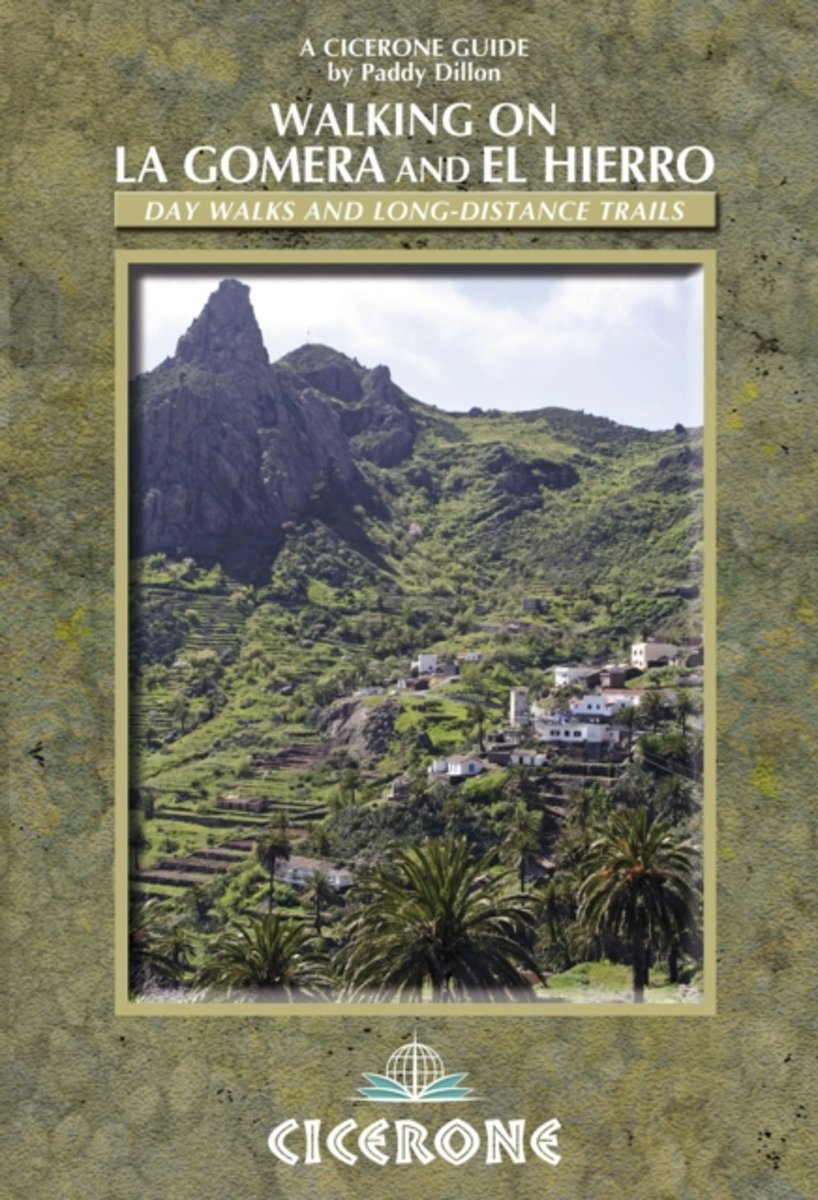
- Walking on La Gomera and El Hierro
- Walking guide to La Gomera and El Hierro, in the Canaries, with day walks and long-distance trails including Camino de La Virgen, GR132 around La Gomera and part of GR131 across the Canary Islands. Routes in Garajonay National Park and from San Sebastien and Valverde. Rugged mountain treks, coastal walks and easier expeditions. Lire la suite
- Also available from:
- Bol.com, Belgium

Belgium
2010
- Walking on La Gomera and El Hierro
- Walking guide to La Gomera and El Hierro, in the Canaries, with day walks and long-distance trails including Camino de La Virgen, GR132 around La Gomera and part of GR131 across the Canary Islands. Routes in Garajonay National Park and from San Sebastien and Valverde. Rugged mountain treks, coastal walks and easier expeditions. Lire la suite

Netherlands
2013
- Walk! Tenerife
- A new edition of Walk! Tenerife is due to be published in September 2017 with completely revised and new walking routes. Comprehensive walking guide book to Tenerife's best walking. 46 fully detailed walking routes with 1:25,000 scale maps and GPS Waypoints. A real 'Rolls Royce' of a walking guide to the authors' home island. Contents:- The... Lire la suite
- Also available from:
- Bol.com, Belgium

Belgium
2013
- Walk! Tenerife
- A new edition of Walk! Tenerife is due to be published in September 2017 with completely revised and new walking routes. Comprehensive walking guide book to Tenerife's best walking. 46 fully detailed walking routes with 1:25,000 scale maps and GPS Waypoints. A real 'Rolls Royce' of a walking guide to the authors' home island. Contents:- The... Lire la suite
Netherlands
2013
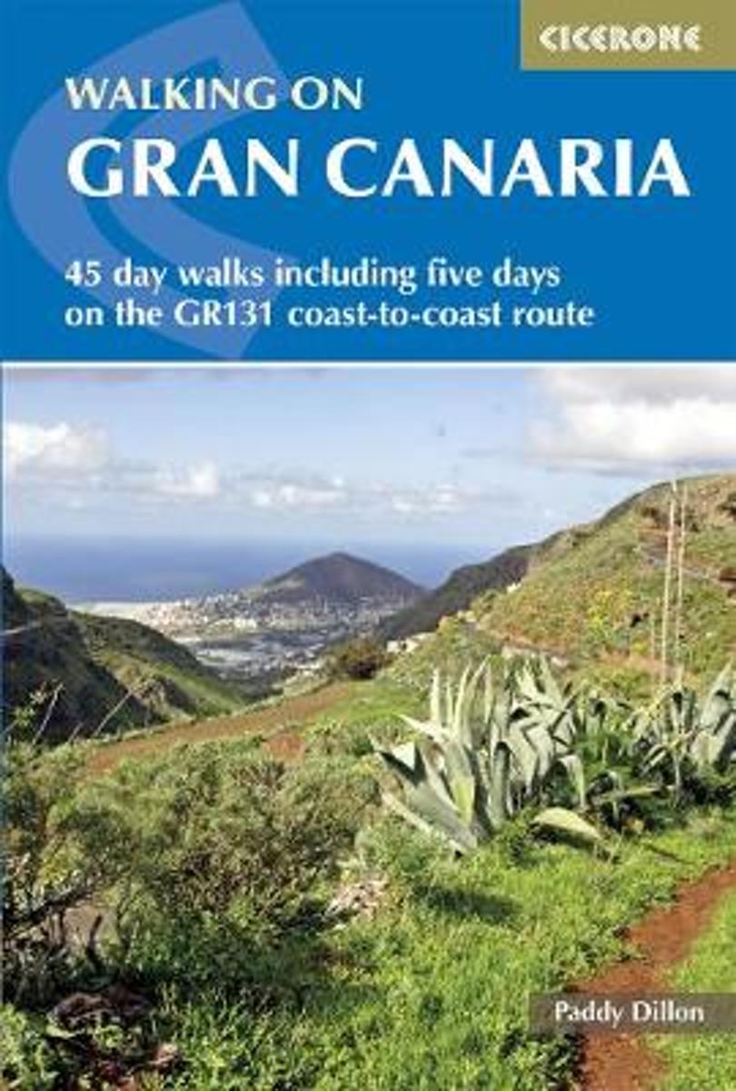
- Walking on Gran Canaria
- This guide, the fourth in a series of five to the Canary Islands, offers 45 walks including a five-day coast-to-coast route on the long-distance GR 131 - an island-hopping trail that stretches across all seven of the Canaries. All routes Lire la suite
- Also available from:
- Bol.com, Belgium

Belgium
2013
- Walking on Gran Canaria
- This guide, the fourth in a series of five to the Canary Islands, offers 45 walks including a five-day coast-to-coast route on the long-distance GR 131 - an island-hopping trail that stretches across all seven of the Canaries. All routes Lire la suite
Netherlands
2010
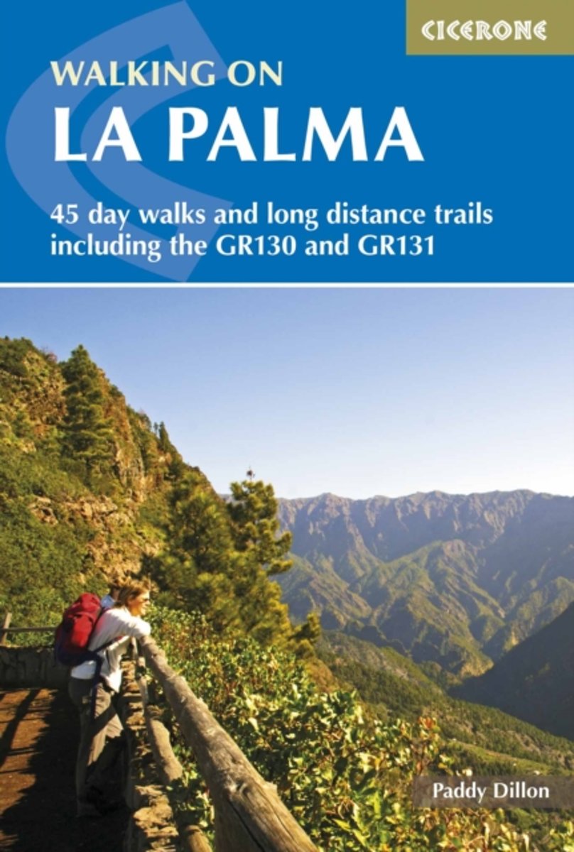
- Walking on La Palma
- Guide to walking on La Palma. In total 45 day walks are described ranging from 8km to 32km in length, and covering a wide variety of terrain. Although La Palma is one of the smaller Canary Islands, there are routes of all types from easy strolls to hands-on scrambling, from simple day walks to long distance treks on rocky mountain paths,... Lire la suite
- Also available from:
- Bol.com, Belgium

Belgium
2010
- Walking on La Palma
- Guide to walking on La Palma. In total 45 day walks are described ranging from 8km to 32km in length, and covering a wide variety of terrain. Although La Palma is one of the smaller Canary Islands, there are routes of all types from easy strolls to hands-on scrambling, from simple day walks to long distance treks on rocky mountain paths,... Lire la suite
Netherlands
2015
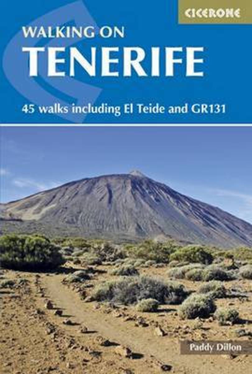
- Walking on Tenerife
- The latest in Paddy Dillon's series of guides to the Canary Islands, this guide covers all the best walking to be had on this hugely popular island, including routes along the GR131. With distance and difficulty ranging from short and easy to long and arduous there is suitable challenge for walkers of all abilities here, on 45 routes that... Lire la suite
- Also available from:
- Bol.com, Belgium

Belgium
2015
- Walking on Tenerife
- The latest in Paddy Dillon's series of guides to the Canary Islands, this guide covers all the best walking to be had on this hugely popular island, including routes along the GR131. With distance and difficulty ranging from short and easy to long and arduous there is suitable challenge for walkers of all abilities here, on 45 routes that... Lire la suite
Cartes

United Kingdom
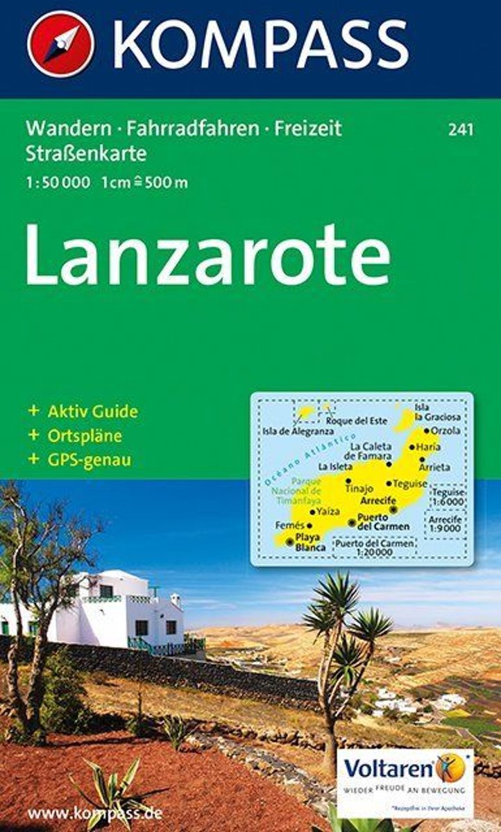
- Lanzarote Kompass 241
- Lanzarote at 1:50,000 on a contoured and GPS compatible map from Kompass, with extensive tourist overprint, plus street plans of Arrecife, Puerto del Carmen and Teguise. Coverage includes the nearby islands of Graciosa, Montaña Clara and Alwegranza.Topography is vividly presented by contours at 50m intervals, enhanced by relief shading plus... Lire la suite
Netherlands
- Lanzarote WK241
- Toeristische kaart voor wandelen, fietsen en vrije tijd met activiteitengids en stadsplattegronden • goed leesbare schaal van 1:50 000 • te gebruiken met GPS • met praktische informatie over de regio • wandel- en fietspaden • aanbevolen routes • kastelen • uitzichtpunten • stranden en baaien • toeristische informatie • veel topografische... Lire la suite
- Also available from:
- Bol.com, Belgium

Belgium
- Lanzarote WK241
- Toeristische kaart voor wandelen, fietsen en vrije tijd met activiteitengids en stadsplattegronden • goed leesbare schaal van 1:50 000 • te gebruiken met GPS • met praktische informatie over de regio • wandel- en fietspaden • aanbevolen routes • kastelen • uitzichtpunten • stranden en baaien • toeristische informatie • veel topografische... Lire la suite

Netherlands
- Tenerife Hikers Maps
- Our latest hiking research on Tenerife has resulted in new editions of Walk! Tenerife and Tenerife Hikers' Super-Durable Maps being published in 2017. Thanks to Jan Kostura's 2016 research we have several new hiking adventures described in detail in Walk! Tenerife. Jan's gps records of his research for new routes and updating of current routes... Lire la suite
- Also available from:
- Bol.com, Belgium

Belgium
- Tenerife Hikers Maps
- Our latest hiking research on Tenerife has resulted in new editions of Walk! Tenerife and Tenerife Hikers' Super-Durable Maps being published in 2017. Thanks to Jan Kostura's 2016 research we have several new hiking adventures described in detail in Walk! Tenerife. Jan's gps records of his research for new routes and updating of current routes... Lire la suite


