Madagascar
Description

The island nation of Madagascar, or Malagasy as it was formerly known, is located to the southeast of the African mainland, in the Indian Ocean. It is famous for it's rich and unique flora and fauna.
The landscape is defined by mountain ranges of the central highlands running in a north-south direction. Highest peak is Maromokotro (2876 m), part of the Tsaratanana Massif in the north of the island. The east coast is a straight and narrow strip of lowlands separated from the ocean by a 800 km long lagoon. The actual beach is very steep and dangerous (sharks). Towards the west the central highlands rise up abruptly, offering a variety of landscapes ranging from eroded hills and granite outcrops to volcanic formations, lakes and a north-south rift valley. The west coast is broad with sedimentary formations and good natural harbors. In the southwest semi-desert conditions prevail. Most of the remaining rainforests are found on the steep hills along the east coast. The central highlands and west coast are largely savanna.
Long and short hikes are possible inside the numerous national parks and in many nature reserves, such as Masoala, Andasibe, Bemaraha, Ankarana, Andringitra, Tsingy de Namoroka etc. Do bring your camping gear, and prepare yourself for tropical and humid conditions.
Régions
Montagnes
Liens
Données
Rapports
Guides et cartes
Hébergement
Organisations
Voyagistes
GPS
Autre
Livres
Netherlands
2013
- Reisverhaal Madagascar - The Eighth Continent | Peter Tyson
- Madagascar: The Eighth Continent ab 12.99 EURO Life, Death and Discovery in a Lost World Lire la suite

Netherlands
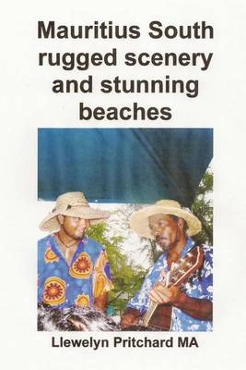
- Mauritius South Rugged Scenery and Stunning Beaches
- Mauritius is a tropical island situated in the Indian Ocean. With mountains of volcanic origin and sandy beaches surrounded by coral reefs this Souvenir Collection of Colour Photographs portrays an interesting range of attractions and activities accessible from the south coast of the island. Includes Map of Mauritius, beach barbecue, boat... Lire la suite
- Also available from:
- Bol.com, Belgium
Belgium
- Mauritius South Rugged Scenery and Stunning Beaches
- Mauritius is a tropical island situated in the Indian Ocean. With mountains of volcanic origin and sandy beaches surrounded by coral reefs this Souvenir Collection of Colour Photographs portrays an interesting range of attractions and activities accessible from the south coast of the island. Includes Map of Mauritius, beach barbecue, boat... Lire la suite

Netherlands
- Mauritius South Rugged Scenery and Stunning Beaches
- Mauritius is a tropical island situated in the Indian Ocean. With mountains of volcanic origin and sandy beaches surrounded by coral reefs this Souvenir Collection of Colour Photographs portrays an interesting range of attractions and activities accessible from the south coast of the island. Includes Map of Mauritius, beach barbecue, boat... Lire la suite
- Also available from:
- Bol.com, Belgium
Belgium
- Mauritius South Rugged Scenery and Stunning Beaches
- Mauritius is a tropical island situated in the Indian Ocean. With mountains of volcanic origin and sandy beaches surrounded by coral reefs this Souvenir Collection of Colour Photographs portrays an interesting range of attractions and activities accessible from the south coast of the island. Includes Map of Mauritius, beach barbecue, boat... Lire la suite
Netherlands
- Dodo Destiny
- Dodo Destiny examines the sad tale of the dodo and the intriguing history of its native Mauritius, a beautiful island nation home to one of today's truly multicultural societies. The dodo is a universal symbol of extinction, yet little is known about the true nature of this vanished bird. Most people don't know that the dodo lived only on... Lire la suite
- Also available from:
- Bol.com, Belgium
Belgium
- Dodo Destiny
- Dodo Destiny examines the sad tale of the dodo and the intriguing history of its native Mauritius, a beautiful island nation home to one of today's truly multicultural societies. The dodo is a universal symbol of extinction, yet little is known about the true nature of this vanished bird. Most people don't know that the dodo lived only on... Lire la suite

Netherlands
- Mauritius South Rugged Scenery and Stunning Beaches
- Maurice est une Ile Tropicale situee dans l'Ocean Indien. Avec les montagnes d'origine volcanique et des plages de sable entourees de recifs coralliens cette Souvenir Collection de Photographies couleur represente une gamme interessante d'Attractions et d'Activites accessibles a partir de la cote sud de l'ile. Comprend Carte de l'ile Maurice,... Lire la suite
- Also available from:
- Bol.com, Belgium
Belgium
- Mauritius South Rugged Scenery and Stunning Beaches
- Maurice est une Ile Tropicale situee dans l'Ocean Indien. Avec les montagnes d'origine volcanique et des plages de sable entourees de recifs coralliens cette Souvenir Collection de Photographies couleur represente une gamme interessante d'Attractions et d'Activites accessibles a partir de la cote sud de l'ile. Comprend Carte de l'ile Maurice,... Lire la suite
Netherlands
2018
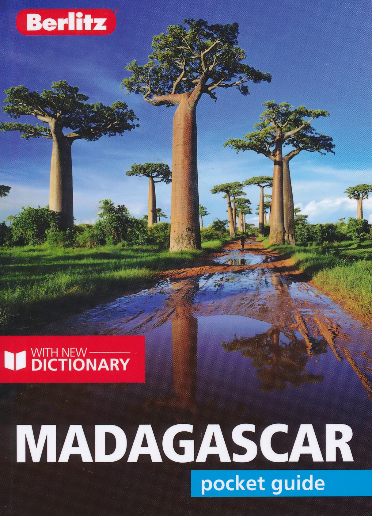
- Reisgids Madagascar | Insight Guides
- Dé gids als het gaat om achtergrondinformatie en prachtige foto’s. De combinatie van schitterende fotografie en verhelderende teksten staat borg voor de veelvuldig bekroonde Insight Guide-kwaliteit. De eerste hoofdstukken gaan over de energieke geschiedenis van het land, de natuur en gevolgd door de cultuur van de bevolking. Daaerna volgt een... Lire la suite
Netherlands
- Mauritius South Rugged Scenery and Stunning Beaches
- Mauritius is a tropical island situated in the Indian Ocean. With mountains of volcanic origin and sandy beaches surrounded by coral reefs this Souvenir Collection of Colour Photographs portrays an interesting range of attractions and activities accessible from the south coast of the island. Includes Map of Mauritius, beach barbecue, boat... Lire la suite
- Also available from:
- Bol.com, Belgium
Belgium
- Mauritius South Rugged Scenery and Stunning Beaches
- Mauritius is a tropical island situated in the Indian Ocean. With mountains of volcanic origin and sandy beaches surrounded by coral reefs this Souvenir Collection of Colour Photographs portrays an interesting range of attractions and activities accessible from the south coast of the island. Includes Map of Mauritius, beach barbecue, boat... Lire la suite
Netherlands
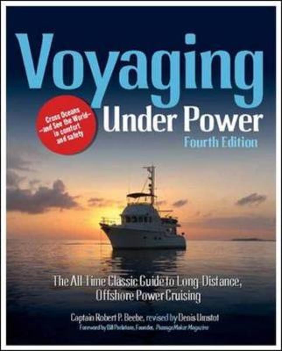
- Voyaging Under Power
- The passagemaking bible updated to help you live yourlong-distance voyaging dreamsFirst published in 1975, Robert Beebe's Voyaging Under Power revolutionized long-distance cruising, encouraging powerboaters to enjoy what was once exclusive to sailboats and their crews: crossing oceans to exotic, interesting, and beautiful places in comfort with... Lire la suite
- Also available from:
- Bol.com, Belgium
Belgium
- Voyaging Under Power
- The passagemaking bible updated to help you live yourlong-distance voyaging dreamsFirst published in 1975, Robert Beebe's Voyaging Under Power revolutionized long-distance cruising, encouraging powerboaters to enjoy what was once exclusive to sailboats and their crews: crossing oceans to exotic, interesting, and beautiful places in comfort with... Lire la suite

Netherlands
- Mauritius South Rugged Scenery and Stunning Beaches
- Mauritius e un'Isola Tropicale situata nell'Oceano Indiano. Con le montagne di origine vulcanica e le spiagge sabbiose circondate da barriere coralline questa Souvenir Raccolta of colour fotografie ritrae una interessante gamma di Attrazioni e Attivita accessibili dalla costa sud dell'isola. Include Mappa di Mauritius, beach barbecue, gite in... Lire la suite
- Also available from:
- Bol.com, Belgium
Belgium
- Mauritius South Rugged Scenery and Stunning Beaches
- Mauritius e un'Isola Tropicale situata nell'Oceano Indiano. Con le montagne di origine vulcanica e le spiagge sabbiose circondate da barriere coralline questa Souvenir Raccolta of colour fotografie ritrae una interessante gamma di Attrazioni e Attivita accessibili dalla costa sud dell'isola. Include Mappa di Mauritius, beach barbecue, gite in... Lire la suite
Netherlands
2016
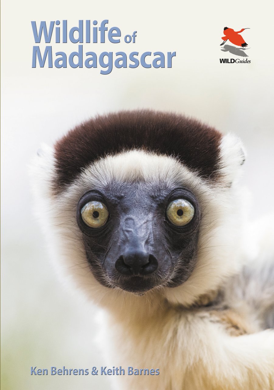
- Natuurgids Wildlife of Madagascar | Princeton University
- The Indian Ocean island of Madagascar is one of the world's great natural treasures and ecotourism destinations. Despite being an island, it is home to nearly an entire continent's variety of species, from the famous lemurs to a profusion of bizarre and beautiful birds, reptiles and amphibians. Wildlife of Madagascar is a compact and... Lire la suite

Netherlands
- Mauritius South Rugged Scenery and Stunning Beaches
- Mauritius is a tropical island situated in the Indian Ocean. With mountains of volcanic origin and sandy beaches surrounded by coral reefs this Souvenir Collection of Colour Photographs portrays an interesting range of attractions and activities accessible from the south coast of the island. Includes Map of Mauritius, beach barbecue, boat... Lire la suite
- Also available from:
- Bol.com, Belgium
Belgium
- Mauritius South Rugged Scenery and Stunning Beaches
- Mauritius is a tropical island situated in the Indian Ocean. With mountains of volcanic origin and sandy beaches surrounded by coral reefs this Souvenir Collection of Colour Photographs portrays an interesting range of attractions and activities accessible from the south coast of the island. Includes Map of Mauritius, beach barbecue, boat... Lire la suite
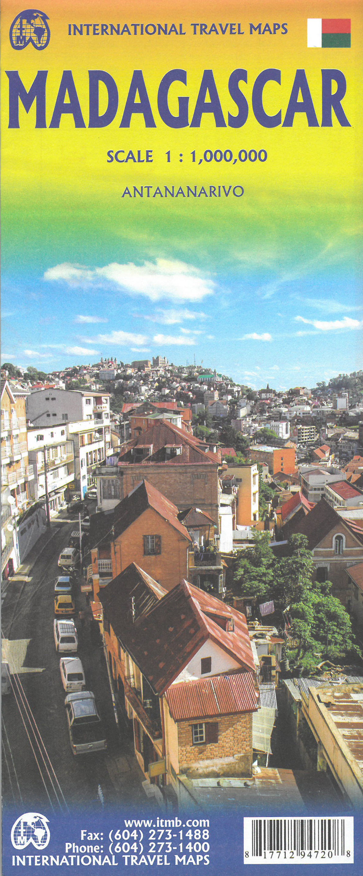
Cartes
United Kingdom
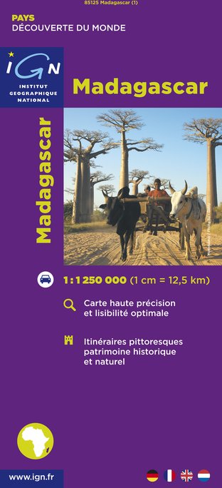
- Madagascar IGN 85125
- Madagascar at 1:1,250,000 from the IGN with cartography from MairDumont, with more smaller settlements than on other maps of the whole country. Very effective relief shading, altitude colouring and spot heights present the topography, with colouring and/or graphics for seasonal lakes and swamps, mangrove, sand dunes, rice fields, waterfalls,... Lire la suite
- Also available from:
- De Zwerver, Netherlands
Netherlands
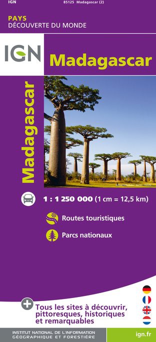
- Wegenkaart - landkaart Madagascar | IGN - Institut Géographique National
- Un grand nombre d?informations touristiques et routières, pour une carte que vous trouverez très vite indispensable lors de votre voyage. Lire la suite
Netherlands
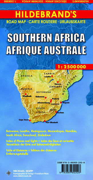
- Wegenkaart - landkaart Southern Africa - Zuidelijk Afrika | Hildebrand's
- Südliches Afrika 1 : 2 500 000. Hildebrand´s Urlaubskarte ab 9.95 EURO Botswana, Lesotho, Madagascar, Mozambique, Namibia, South Africa, Swaziland, Zimbabwe. Stadtpläne von Cape Town / Kaapstad, Johannesburg, Pretoria, Durban, Windhoek. Verzeichnis der Orte und Sehenswürdigkeiten, Entfernungstabelle, Reiseinformationen. Dreisprachige Ausgabe:... Lire la suite
Netherlands
2023
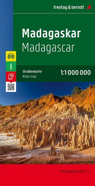
- Wegenkaart - landkaart Madagascar - Madagaskar | Freytag & Berndt
- Madagaskar 1 : 1 000 000 ab 10.9 EURO Touristische Informatione, Mauritius-Réunion-Komoren, Ortsregister Freytag & Berndt Autokarte. Neuauflage, Laufzeit bis 2019 Lire la suite
Netherlands
2016