Mali
Description
Mali is landlocked in the west of Africa, and largely flat arid savanna of the southern Sahara. Only the southwestern inland Niger River Delta is more tropically humid.
Mali has one large National Park: Baoulé, not far from Bamako in the southwest of the country. Also interesting for wildlife are Bafing Reserve and Gourma Reserve.
Some hiking is possible in Dogon country, south-central Mali, along the Bandiagara Escarpment (Falaise du Bandiagara).
Régions
Liens
Données
Rapports
Guides et cartes
Hébergement
Organisations
Voyagistes
GPS
Autre
Livres

De Zwerver
Netherlands
2019
Netherlands
2019
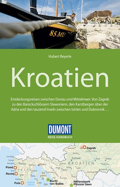
- Reisgids Reise-Handbuch Kroatien | Dumont
- Für die 5. Auflage des DuMont Reise-Handbuches war der Autor Hubert Beyerle wieder wochenlang intensiv vor Ort unterwegs. Es fehlen selbstverständlich weder das neue Museum Apoxiomen in Mali Lošinj noch das Nikola-Tesla-Museum in Gospic.Von der Hauptstadt Zagreb im Norden bis ins barocke Dubrovnik nahe der südlichen Grenze zu Montenegro, von... Lire la suite

Bol.com
Netherlands
2013
Netherlands
2013
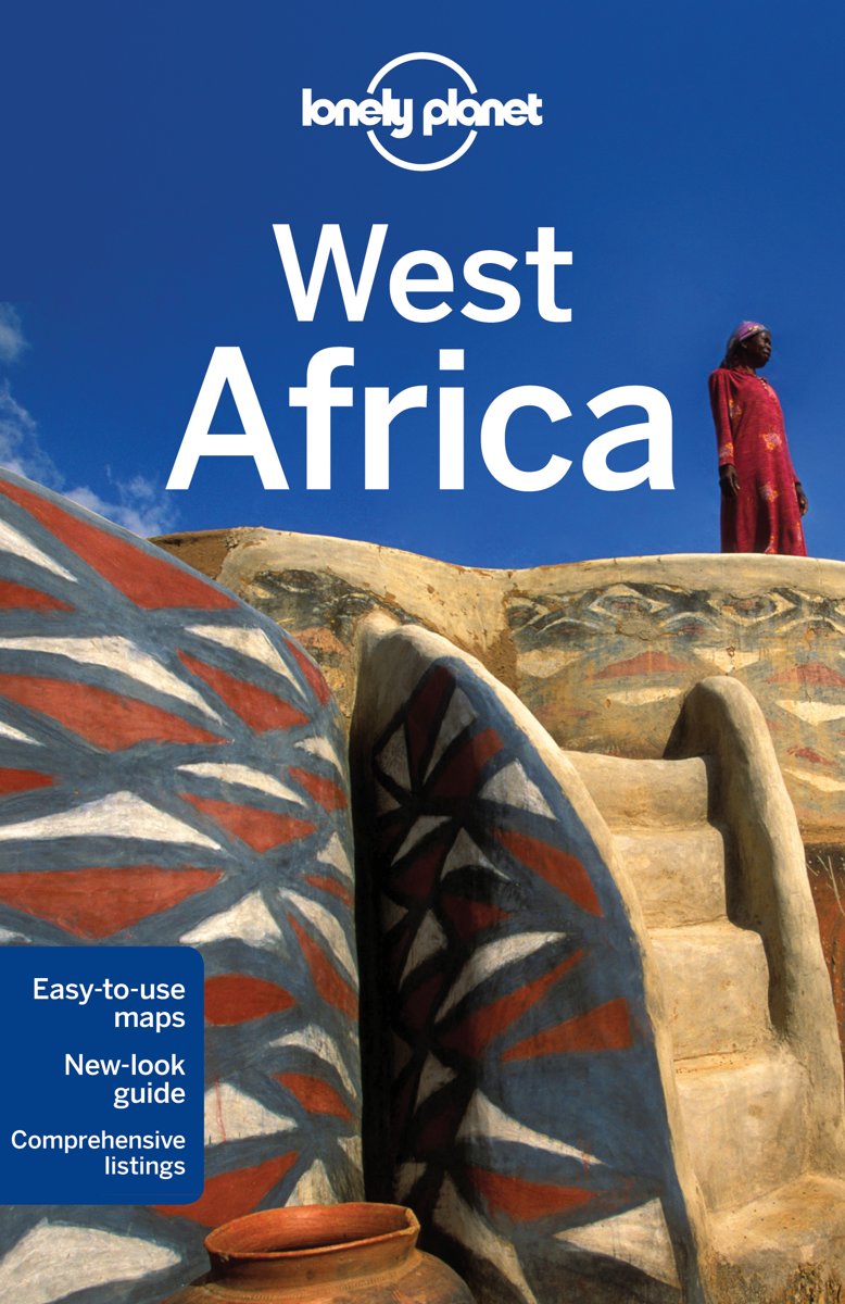
- Lonely Planet West Africa
- Lonely Planet West Africa is your passport to all the most relevant and up-to-date advice on what to see, what to skip, and what hidden discoveries await you. Experience the culture of Dakar or Marrakesh, visit the gorges and oases of the Sahara, or hike to paradise on Santo Antao in Cape Verde; all with your trusted travel companion. Get to... Lire la suite
- Also available from:
- Bol.com, Belgium

Bol.com
Belgium
2013
Belgium
2013
- Lonely Planet West Africa
- Lonely Planet West Africa is your passport to all the most relevant and up-to-date advice on what to see, what to skip, and what hidden discoveries await you. Experience the culture of Dakar or Marrakesh, visit the gorges and oases of the Sahara, or hike to paradise on Santo Antao in Cape Verde; all with your trusted travel companion. Get to... Lire la suite
Cartes

Stanfords
United Kingdom
United Kingdom
- Mali Wall Map
- Mali Wall Map at 1:2,000,000 from Gizi Map, size 95.5 x 88cm ( 38” x 35” approx,) with excellent presentation of the country’s topography, plus an enlargement for the Dogon Plateau and street plans of Bamako and Timbuktu, all showing places of interest.Topography is shown by altitude colouring with spot heights and plenty of names of mountain... Lire la suite

Stanfords
United Kingdom
United Kingdom
- Mali IGN 85008
- Mali at 1:2,000,000 on an indexed road map from the IGN, France’s national survey organization, with a street plan of Bamako, an administrative map of the country, a distance table, climate charts, etc. Road network is graded into six types and indicates seasonal routes and tracks not recommended for vehicles. Driving distances are marked on... Lire la suite

Stanfords
United Kingdom
United Kingdom
- Mali GiziMap Road Map
- Mali at 1:2,000,000 from Gizi Map with excellent presentation of the country’s topography, an enlargement for the Dogon Plateau, street plans of Bamako and Timbuktu, all showing places of interest, plus an extensive index.Topography is shown by altitude colouring with spot heights and plenty of names of mountain ranges and other geographical... Lire la suite

De Zwerver
Netherlands
Netherlands
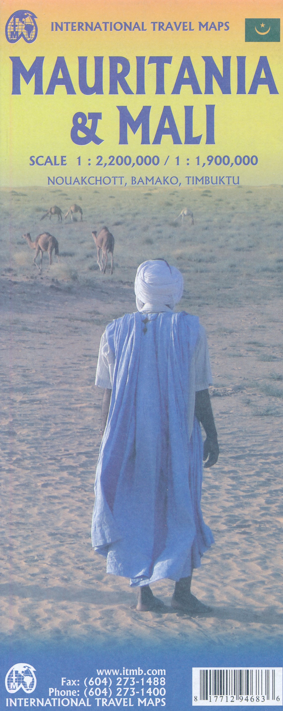
- Wegenkaart - landkaart Mali | ITMB
- Mali 1 : 1 700 000 ab 10.5 EURO International Travel Map ITM. 3rd edition Lire la suite
Plus de cartes …


