
Macao
Description

Macau is a former Portuguese colony on the southcoast of China. From Hong Kong, a convenient 60 km ferry-ride across the Pearl River Estuary will take you there. Macau consists of the Macau Peninsula and the islands of Taipa and Coloane, now connected by the Cotai Strip landfill.
Being a small, densely populated and heavily urbanized place, long distance hiking is no option in Macau. Yet, there is a network of well-maintained nature trails worth exploring in the hills of Taipa and Coloane. Try the circular Coloane Trail, The Taipa Grande and Taipa Pequena Trails.
Macau's climate is subtropical with very high temperatures and humidity in summer (April - September). For maximum views and dry weather, try November, December, January, February or March.
Sentiers
Liens
Données
Rapports
Guides et cartes
Hébergement
Organisations
Voyagistes
GPS
Autre
Livres


United Kingdom
2014
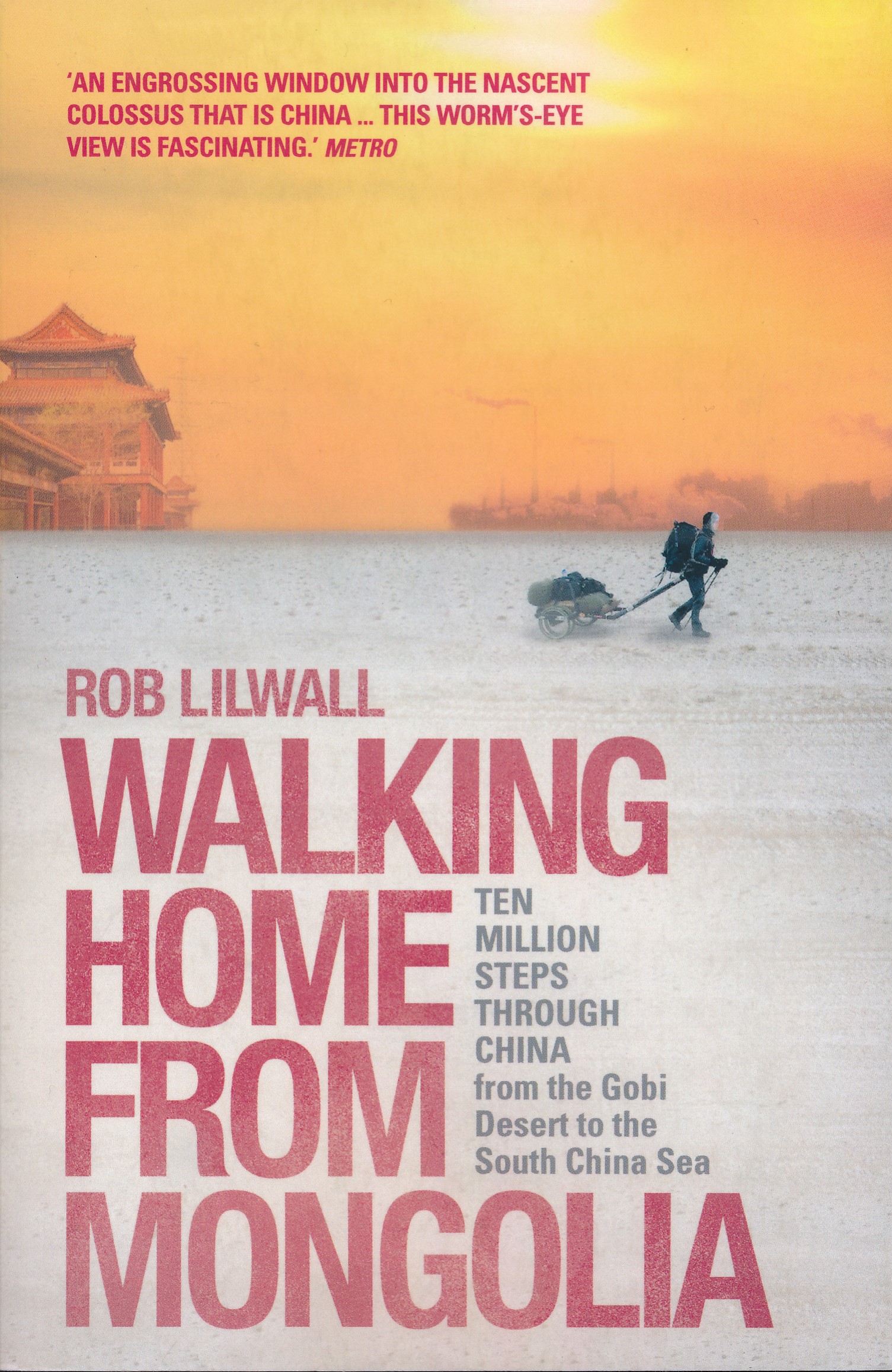
- Walking Home From Mongolia
- Ten Million Steps Through China, From the Gobi Desert to the South China Sea Lire la suite
- Also available from:
- De Zwerver, Netherlands
Netherlands
2014
- Reisverhaal Walking Home From Mongolia | Hodder & Stoughton
- Ten Million Steps Through China, from the Gobi Desert to the South China Sea Lire la suite
Netherlands
2016
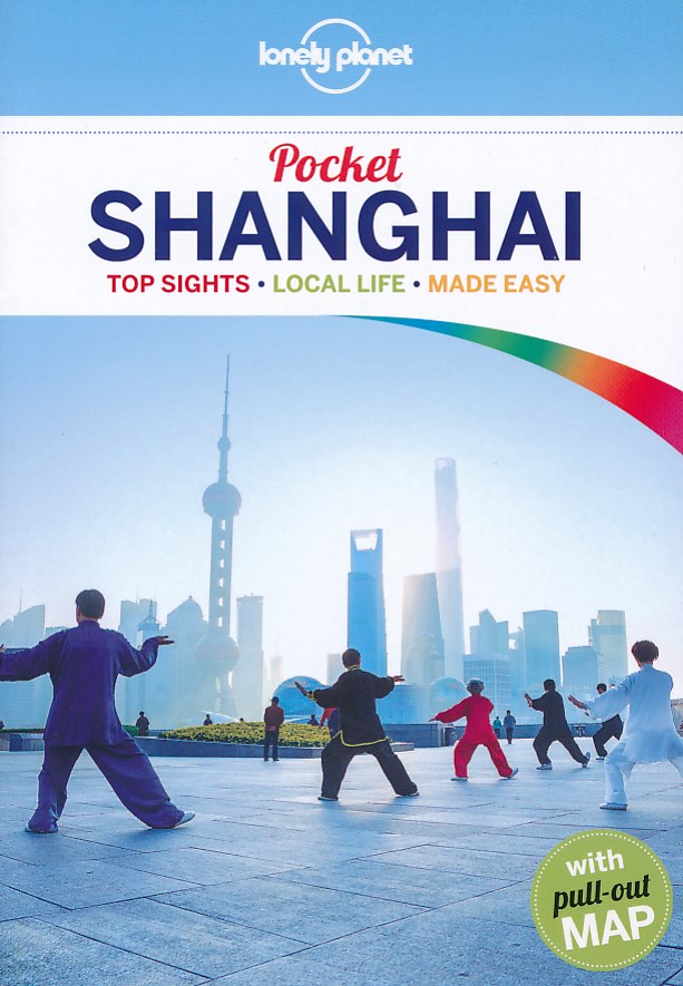
- Reisgids Pocket Shanghai | Lonely Planet
- Klein compact stadgidsje voor Shangai met alle essentiele informatie voor een paar dagen. Eten & drinken, Accomodaties en bezienswaardigheden. Met stadsplattegrond. Lonely Planet Pocket Shanghai is your passport to all the most relevant and up-to-date advice on what to see, what to skip, and what hidden discoveries await you. Experience the... Lire la suite
Netherlands
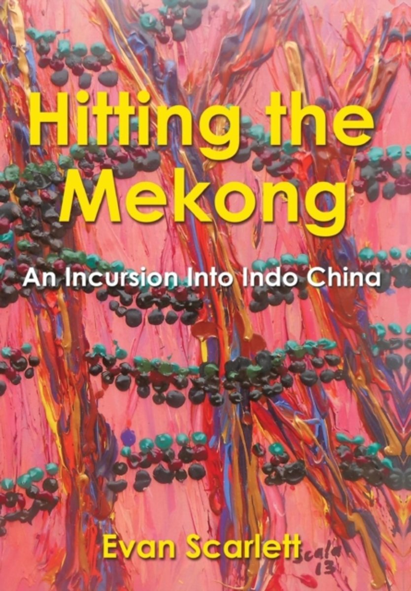
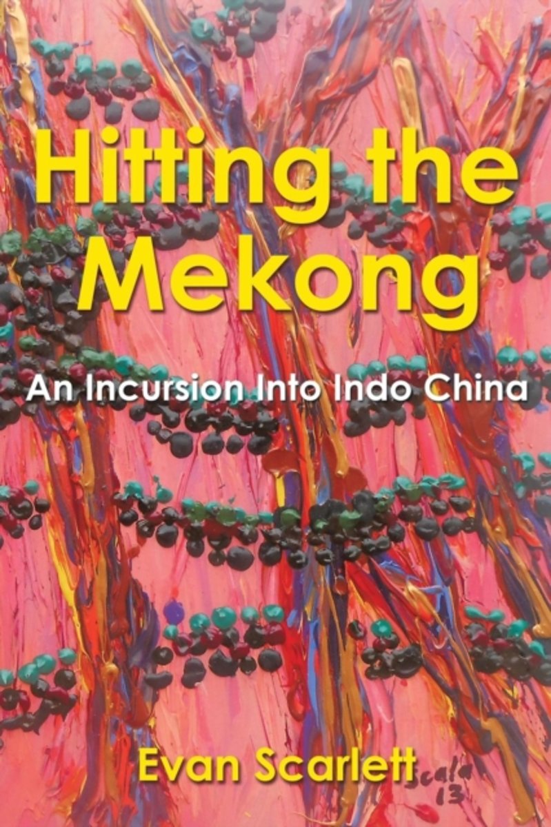
- Hitting the Mekong
- Phuong can wake up in the morning, declare herself hungry, and walk one hundred meters to a freshly cooked bowl of soup or a mini-baguette filled with meat pate and vegetables. Pho and banh miwe have a choice at least between those two in the space of a two-minute stroll on the street. Phuong will then come home and devour half a kilo of... Lire la suite
- Also available from:
- Bol.com, Belgium
Belgium
- Hitting the Mekong
- Phuong can wake up in the morning, declare herself hungry, and walk one hundred meters to a freshly cooked bowl of soup or a mini-baguette filled with meat pate and vegetables. Pho and banh miwe have a choice at least between those two in the space of a two-minute stroll on the street. Phuong will then come home and devour half a kilo of... Lire la suite
.jpg)
Netherlands
- Reisgids Three Gorges of the Yangtze River Chongqing to Wuhan | Odyssey
- Leading readers through this popular travel destination in China, Shaw provides a compelling read. The famed ´long river´s´ gorges has held allure for travelers for centuries and any person whom now ventures to this ancient area, home to China´s most revered poets and archeological treasures, will be expertly assisted by this handy guide. The... Lire la suite
Netherlands
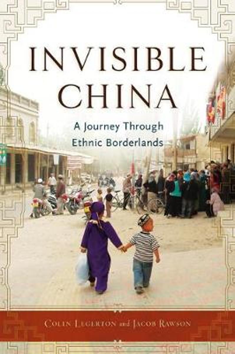
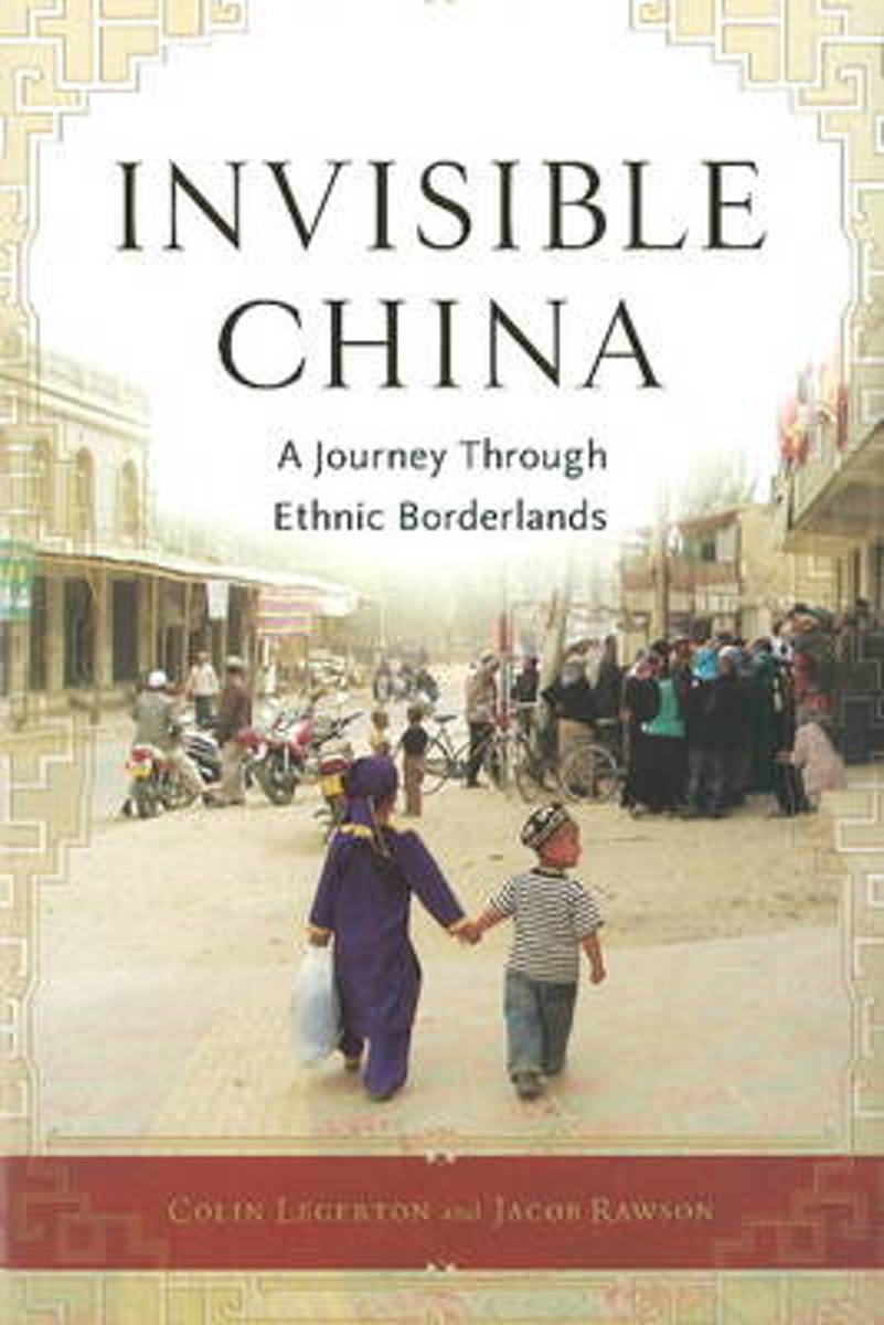
- Invisible China
- In this eloquent and eye-opening adventure narrative, Colin Legerton and Jacob Rawson bring a hitherto unrevealed side of China to light. They journey to the farthest reaches of the country to meet the minority peoples who dwell there. They engage in a heated discussion of human rights with Daur and Ewenki village cadres; celebrate Muhammads... Lire la suite
- Also available from:
- Bol.com, Belgium
Belgium
- Invisible China
- In this eloquent and eye-opening adventure narrative, Colin Legerton and Jacob Rawson bring a hitherto unrevealed side of China to light. They journey to the farthest reaches of the country to meet the minority peoples who dwell there. They engage in a heated discussion of human rights with Daur and Ewenki village cadres; celebrate Muhammads... Lire la suite

Netherlands
2017
- Capitool Reisgidsen Top 10 - Hong Kong
- Capitool Top 10 Hong Kong- Top 10 van onder andere de beste restaurants, de mooiste bezienswaardigheden en de leukste winkels- Met de uitneembare kaart vind je gemakkelijk de weg- De schitterende foto's brengen Hong Kong tot leven- Compact formaat, ideaal om mee te nemen- Diverse wandelroutes leiden je langs alle hoogtepunten van de stad Top 10... Lire la suite
- Also available from:
- Bol.com, Belgium
- De Zwerver, Netherlands
Belgium
2017
- Capitool Reisgidsen Top 10 - Hong Kong
- Capitool Top 10 Hong Kong- Top 10 van onder andere de beste restaurants, de mooiste bezienswaardigheden en de leukste winkels- Met de uitneembare kaart vind je gemakkelijk de weg- De schitterende foto's brengen Hong Kong tot leven- Compact formaat, ideaal om mee te nemen- Diverse wandelroutes leiden je langs alle hoogtepunten van de stad Top 10... Lire la suite

Netherlands
2017
- Reisgids Capitool Top 10 Hongkong | Unieboek
- De naam zegt het al: een compacte versie van de veel geprezen Capitool serie. Eigenlijk vergelijkbaar met veel illustraties, veel aandacht voor cultuur en bevolking en hier en daar praktische informatie. Kleine versie, handig in de binnenzak. - Top 10 van onder andere de beste restaurants, de mooiste bezienswaardigheden en de leukste winkels -... Lire la suite

Netherlands
- The Stylish Life Skiing
- An entertaining walk through the captivating and glamorous history of the traditional, yet modern sport of skiinFrom its origins in China and Scandinavia, the sport of skiing has come a long way to attract daring athletes, tourists and locals on winter holiday, the chic and wealthy leisure class, and international royalty. On the technical... Lire la suite
- Also available from:
- Bol.com, Belgium
Belgium
- The Stylish Life Skiing
- An entertaining walk through the captivating and glamorous history of the traditional, yet modern sport of skiinFrom its origins in China and Scandinavia, the sport of skiing has come a long way to attract daring athletes, tourists and locals on winter holiday, the chic and wealthy leisure class, and international royalty. On the technical... Lire la suite

Netherlands
2018
- Reisgids Insight Guide China (NL) | Uitgeverij Cambium
- China heeft bijna dan 1,4 miljard inwoners en is een land van contrasten. Een land met bergen en woestijnen, van megasteden en plattelandsdorpjes, maar vooral een land met een van de oudste beschavingen op aarde. De auteurs en fotografen laten u op de bekende, onovertroffen en veelvuldig bekroonde Insight Guide-wijze in woord en beeld... Lire la suite
Netherlands
- Hitting the Mekong
- Phuong can wake up in the morning, declare herself hungry, and walk one hundred meters to a freshly cooked bowl of soup or a mini-baguette filled with meat pate and vegetables. Pho and banh miwe have a choice at least between those two in the space of a two-minute stroll on the street. Phuong will then come home and devour half a kilo of... Lire la suite
- Also available from:
- Bol.com, Belgium
Belgium
- Hitting the Mekong
- Phuong can wake up in the morning, declare herself hungry, and walk one hundred meters to a freshly cooked bowl of soup or a mini-baguette filled with meat pate and vegetables. Pho and banh miwe have a choice at least between those two in the space of a two-minute stroll on the street. Phuong will then come home and devour half a kilo of... Lire la suite

Netherlands
- Lonely Planet China
- "Antique yet up-to-the-minute, familiar yet unrecognizable, outwardly urban but quintessentially rural, conservative yet path-breaking.. China is a land of mesmerizing and eye-opening contradictions." - Damian Harper, Lonely Planet Writer- 11 intrepid authors- 198 maps- 76 temples & monasteries- 100s of noodle spots- Inspirational photos-... Lire la suite
- Also available from:
- Bol.com, Belgium
Belgium
- Lonely Planet China
- "Antique yet up-to-the-minute, familiar yet unrecognizable, outwardly urban but quintessentially rural, conservative yet path-breaking.. China is a land of mesmerizing and eye-opening contradictions." - Damian Harper, Lonely Planet Writer- 11 intrepid authors- 198 maps- 76 temples & monasteries- 100s of noodle spots- Inspirational photos-... Lire la suite
Netherlands
- Invisible China
- In this eloquent and eye-opening adventure narrative, Colin Legerton and Jacob Rawson, two Americans fluent in Mandarin Chinese, Korean, and Uyghur, throw away the guidebook and bring a hitherto unexplored side of China to light. They journey over 14,000 miles by bus and train to the farthest reaches of the country to meet the minority peoples... Lire la suite
- Also available from:
- Bol.com, Belgium
Belgium
- Invisible China
- In this eloquent and eye-opening adventure narrative, Colin Legerton and Jacob Rawson, two Americans fluent in Mandarin Chinese, Korean, and Uyghur, throw away the guidebook and bring a hitherto unexplored side of China to light. They journey over 14,000 miles by bus and train to the farthest reaches of the country to meet the minority peoples... Lire la suite


Netherlands
- Wildlife Wonders of China
- China is a country rich in bio-diversity that boasts gorgeous natural landscapes and wildlife, many unique to its land. Award winning nature photographer Xi Zhinong spent 30 years taking photos along rivers and across mountains, capturing the animals and natural wonders of China. Through his lens, a Yunnan snub-nosed monkey can be seen jumping... Lire la suite
- Also available from:
- Bol.com, Belgium
Belgium
- Wildlife Wonders of China
- China is a country rich in bio-diversity that boasts gorgeous natural landscapes and wildlife, many unique to its land. Award winning nature photographer Xi Zhinong spent 30 years taking photos along rivers and across mountains, capturing the animals and natural wonders of China. Through his lens, a Yunnan snub-nosed monkey can be seen jumping... Lire la suite

Cartes

United Kingdom
- Admiralty Routeing Chart 5149(2) - South China Sea - February
- Essential for use in passage planning for ocean voyages, Routeing Charts include routes and distances between major ports, ocean currents, ice limits, load lines and wind roses. They also contain expected meteorological and oceanographic conditions for each month of the year.Individual chart scales of 1:5,000,000, 1:10,000,000 and 1:20,000,000... Lire la suite

United Kingdom
- Admiralty Routeing Chart 5149(10) - South China Sea - October
- Essential for use in passage planning for ocean voyages, Routeing Charts include routes and distances between major ports, ocean currents, ice limits, load lines and wind roses. They also contain expected meteorological and oceanographic conditions for each month of the year.Individual chart scales of 1:5,000,000, 1:10,000,000 and 1:20,000,000... Lire la suite

United Kingdom
- Admiralty Routeing Chart 5150(6) - East China Sea - June
- Essential for use in passage planning for ocean voyages, Routeing Charts include routes and distances between major ports, ocean currents, ice limits, load lines and wind roses. They also contain expected meteorological and oceanographic conditions for each month of the year.Individual chart scales of 1:5,000,000, 1:10,000,000 and 1:20,000,000... Lire la suite

United Kingdom
- Admiralty Routeing Chart 5149(3) - South China Sea - March
- Essential for use in passage planning for ocean voyages, Routeing Charts include routes and distances between major ports, ocean currents, ice limits, load lines and wind roses. They also contain expected meteorological and oceanographic conditions for each month of the year.Individual chart scales of 1:5,000,000, 1:10,000,000 and 1:20,000,000... Lire la suite

United Kingdom
- Admiralty Routeing Chart 5149(11) - South China Sea - November
- Essential for use in passage planning for ocean voyages, Routeing Charts include routes and distances between major ports, ocean currents, ice limits, load lines and wind roses. They also contain expected meteorological and oceanographic conditions for each month of the year.Individual chart scales of 1:5,000,000, 1:10,000,000 and 1:20,000,000... Lire la suite

United Kingdom
- Admiralty Routeing Chart 5150(7) - East China Sea - July
- Essential for use in passage planning for ocean voyages, Routeing Charts include routes and distances between major ports, ocean currents, ice limits, load lines and wind roses. They also contain expected meteorological and oceanographic conditions for each month of the year.Individual chart scales of 1:5,000,000, 1:10,000,000 and 1:20,000,000... Lire la suite

United Kingdom
- Admiralty Routeing Chart 5149(4) - South China Sea - April
- Essential for use in passage planning for ocean voyages, Routeing Charts include routes and distances between major ports, ocean currents, ice limits, load lines and wind roses. They also contain expected meteorological and oceanographic conditions for each month of the year.Individual chart scales of 1:5,000,000, 1:10,000,000 and 1:20,000,000... Lire la suite

United Kingdom
- Admiralty Routeing Chart 5149(12) - South China Sea - December
- Essential for use in passage planning for ocean voyages, Routeing Charts include routes and distances between major ports, ocean currents, ice limits, load lines and wind roses. They also contain expected meteorological and oceanographic conditions for each month of the year.Individual chart scales of 1:5,000,000, 1:10,000,000 and 1:20,000,000... Lire la suite
United Kingdom
- Admiralty Routeing Chart 5150(8) - East China Sea - August
- Essential for use in passage planning for ocean voyages, Routeing Charts include routes and distances between major ports, ocean currents, ice limits, load lines and wind roses. They also contain expected meteorological and oceanographic conditions for each month of the year.Individual chart scales of 1:5,000,000, 1:10,000,000 and 1:20,000,000... Lire la suite

United Kingdom
- Admiralty Routeing Chart 5149(5) - South China Sea - May
- Essential for use in passage planning for ocean voyages, Routeing Charts include routes and distances between major ports, ocean currents, ice limits, load lines and wind roses. They also contain expected meteorological and oceanographic conditions for each month of the year.Individual chart scales of 1:5,000,000, 1:10,000,000 and 1:20,000,000... Lire la suite

United Kingdom
- Admiralty Routeing Chart 5150(1) - East China Sea - January
- Essential for use in passage planning for ocean voyages, Routeing Charts include routes and distances between major ports, ocean currents, ice limits, load lines and wind roses. They also contain expected meteorological and oceanographic conditions for each month of the year.Individual chart scales of 1:5,000,000, 1:10,000,000 and 1:20,000,000... Lire la suite

United Kingdom
- Admiralty Routeing Chart 5150(9) - East China Sea - September
- Essential for use in passage planning for ocean voyages, Routeing Charts include routes and distances between major ports, ocean currents, ice limits, load lines and wind roses. They also contain expected meteorological and oceanographic conditions for each month of the year.Individual chart scales of 1:5,000,000, 1:10,000,000 and 1:20,000,000... Lire la suite

United Kingdom
- Admiralty Routeing Chart 5149(6) - South China Sea - June
- Essential for use in passage planning for ocean voyages, Routeing Charts include routes and distances between major ports, ocean currents, ice limits, load lines and wind roses. They also contain expected meteorological and oceanographic conditions for each month of the year.Individual chart scales of 1:5,000,000, 1:10,000,000 and 1:20,000,000... Lire la suite

United Kingdom
- Admiralty Routeing Chart 5150(2) - East China Sea - February
- Essential for use in passage planning for ocean voyages, Routeing Charts include routes and distances between major ports, ocean currents, ice limits, load lines and wind roses. They also contain expected meteorological and oceanographic conditions for each month of the year.Individual chart scales of 1:5,000,000, 1:10,000,000 and 1:20,000,000... Lire la suite

United Kingdom
- Admiralty Routeing Chart 5150(10) - East China Sea - October
- Essential for use in passage planning for ocean voyages, Routeing Charts include routes and distances between major ports, ocean currents, ice limits, load lines and wind roses. They also contain expected meteorological and oceanographic conditions for each month of the year.Individual chart scales of 1:5,000,000, 1:10,000,000 and 1:20,000,000... Lire la suite