
Himalayas
Description
Liens
Données
Rapports
Guides et cartes
Hébergement
Organisations
Voyagistes
GPS
Autre
Livres


The Book Depository
United Kingdom
United Kingdom
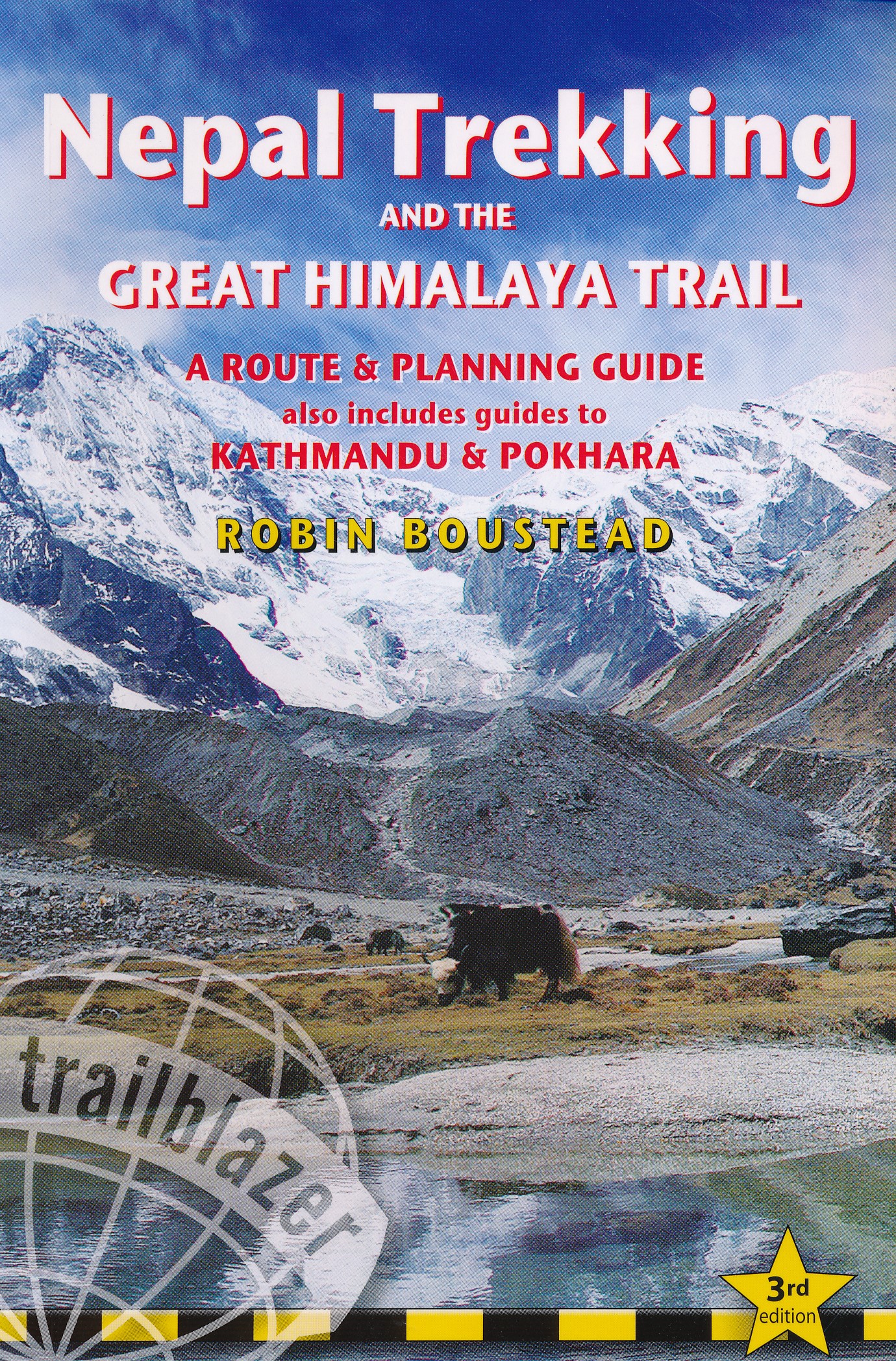
- The Great Himalaya Trail N3
- The Rara, Jumla & Mugu Section Lire la suite

The Book Depository
United Kingdom
2020
United Kingdom
2020
- Also available from:
- De Zwerver, Netherlands


The Book Depository
United Kingdom
2013
United Kingdom
2013
- A Walk in the Clouds
- 75 short stories of adventures among the mountains of the world Lire la suite

The Book Depository
United Kingdom
United Kingdom
- Nepal Himalaya: The Most Mountainous of a Singularly Mountainous Country
- The Most Mountainous of a Singularly Mountainous Country Lire la suite

Stanfords
United Kingdom
2018
United Kingdom
2018
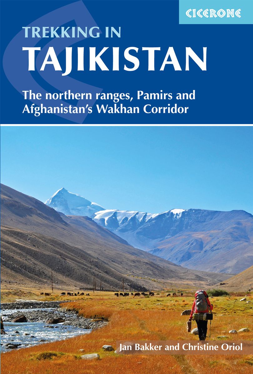
- Trekking in Tajikistan: The northern ranges, Pamirs and Afghanistan`s Wakhan Corridor
- This guide describes twenty high-altitude treks of 2-9 days in the mountains of Tajikistan, covering the Fann Mountains, Pamirs and northern ranges, plus five day hikes near the capital, Dushanbe, and a 10-day trek in the Afghan Wakhan Corridor. As well as detailed route description and 1:100,000 mapping for each trek, there is a wealth of... Lire la suite
- Also available from:
- The Book Depository, United Kingdom
- De Zwerver, Netherlands

The Book Depository
United Kingdom
2018
United Kingdom
2018
- Trekking in Tajikistan
- The northern ranges, Pamirs and Afghanistan's Wakhan Corridor Lire la suite
De Zwerver
Netherlands
2019
Netherlands
2019
- Wandelgids Trekking in Tajikistan - Tadzjikistan | Cicerone
- Guidebook to trekking in Tajikistan and Afghanistan. Contains 21 treks exploring 5 different mountain areas, including the Northern Ranges, Pamir Mountains and Afghanistan's Wakhan Corridor. Also includes a handful of shorter day hikes. With advice on trekking, backpacking equipment, permits and visas, and transport. Lire la suite


Bol.com
Netherlands
2017
Netherlands
2017
- Te gast in pocket - Te gast in Nepal
- In deze vernieuwde editie van TE GAST IN Nepal wordt stilgestaan bij de aardbeving die in april 2015 het middelgebergte van Nepal trof. Behalve veel slachtoffers was er veel schade aan het culturele erfgoed. Vanwege de bureaucratische rompslomp komt de wederopbouw vrij traag op gang. Ook de Great Himalaya Trail, een lange-afstands-trek dwars... Lire la suite
- Also available from:
- Bol.com, Belgium
- De Zwerver, Netherlands
Bol.com
Belgium
2017
Belgium
2017
- Te gast in pocket - Te gast in Nepal
- In deze vernieuwde editie van TE GAST IN Nepal wordt stilgestaan bij de aardbeving die in april 2015 het middelgebergte van Nepal trof. Behalve veel slachtoffers was er veel schade aan het culturele erfgoed. Vanwege de bureaucratische rompslomp komt de wederopbouw vrij traag op gang. Ook de Great Himalaya Trail, een lange-afstands-trek dwars... Lire la suite

De Zwerver
Netherlands
2017
Netherlands
2017
- Reisgids Te gast in Nepal | Informatie Verre Reizen
- Samengesteld door en voor reizigers: verhalen van mensen die er gewoond of gereisd hebben. Literatuurlijst, praktische tips, vooral veel achtergrond- en cultuur informatie. Nu in nieuw pocket formaat. Het toerisme naar Nepal zit in de lift sinds de vrede in het land is weergekeerd. In de geheel vernieuwde editie van TE GAST IN Nepal beschrijft... Lire la suite
Cartes

Stanfords
United Kingdom
United Kingdom
- Rolwaling Region Great Himalaya Trail Map SUPERCEDED
- The Rolwaling, map no. 104, at 1:100,000 on a waterproof and tear-resistant trekking map from the Himalayan MapHouse in their series covering the whole of northern Nepal. The map highlights main trekking routes from Jiri, both north and south of the town, including the first sections of the Jiri/Everest and Jiri/Pikey Peak trails, the Numbur... Lire la suite

Stanfords
United Kingdom
United Kingdom
- Kanchenjunga Region Great Himalaya Trail Map
- Kanchenjunga Region, map no. 101, at 1:100,000 on a waterproof and tear-resistant trekking map from the Himalayan MapHouse in their series covering the whole of northern Nepal. The map highlights main trekking routes from Taplejung, including Kanchenjunga Base Camp Trek, Yalung Base Camp Trek, Phathibhara Trek, the route along the Yangma Khola... Lire la suite

Stanfords
United Kingdom
United Kingdom
- Rolwaling Region Great Himalaya Trail Map
- The Rolwaling, map no. 104, at 1:100,000 on a waterproof and tear-resistant trekking map from the Himalayan MapHouse in their series covering the whole of northern Nepal. The map highlights main trekking routes from Jiri, both north and south of the town, including the first sections of the Jiri/Everest and Jiri/Pikey Peak trails, the Numbur... Lire la suite

Stanfords
United Kingdom
United Kingdom
- Monastry Circuit Trail
- The Monastery Trail south of Lukla at 1:100,000 in the Nepa Maps series which provides extensive coverage of trekking areas of Nepal on detailed contoured maps with trekking routes and hiking trails, huts and camp sites, local places of interest and other tourist information.The map covers an area from Namche Bazar southwards along the Dudh... Lire la suite

Stanfords
United Kingdom
United Kingdom
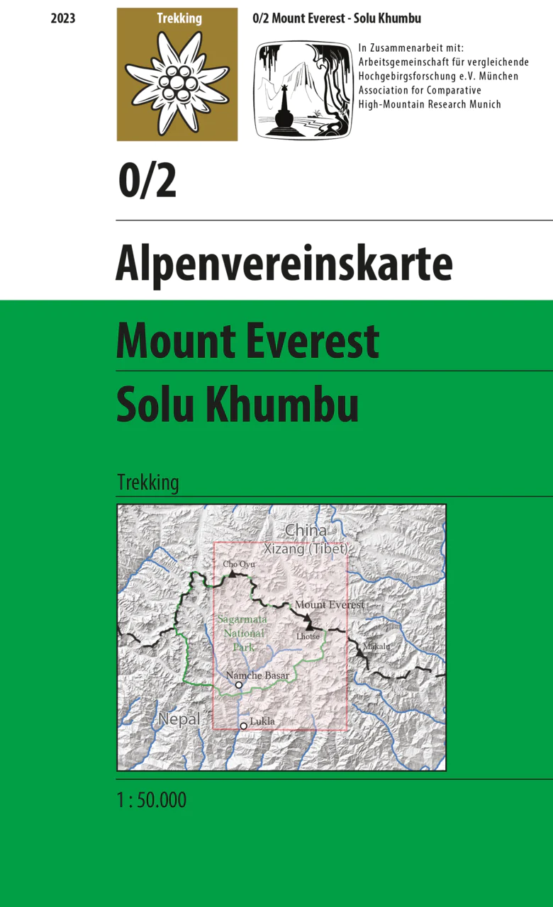
- Solu Khumbu - Everest Region Great Himayala Trail Map
- Solu Khumbu/Everest Region, map no. 103, at 1:100,000 on a waterproof and tear-resistant trekking map from the Himalayan MapHouse in their series covering the whole of northern Nepal. The map highlights main trekking routes from Lukla, both north and south of the town: Everest Base Camp Trek, alternative routes to the Gokyo Lakes, Bhote Koshi... Lire la suite

Stanfords
United Kingdom
United Kingdom
- Everest Base Camp & Gokyo - Three Passes 50K
- Everest Base Camp - Gokyo - Three Passes Trek map at 1:50,000 from Nepa Maps prominently highlighting the Three Passes Trek from Lukla and Namche along a section of the Everest Trek via Tengboche and Dingboche to the Thokla Pass, then westwards to the Cho (Chhugyuma) La Pass, Gokyo Lake and the Rejno La Pass, and southwards back to Namche via... Lire la suite

Stanfords
United Kingdom
United Kingdom
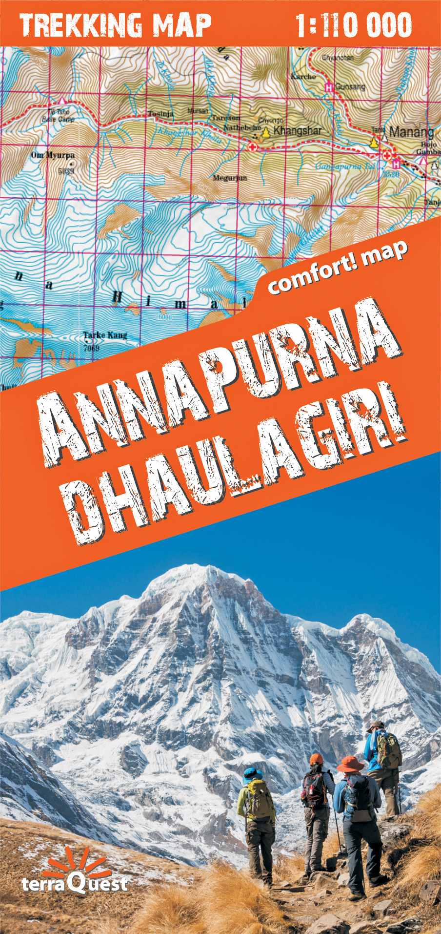
- Mustang Great Himalaya Trail Map
- Mustang, map no. 108, at 1:100,000 on a waterproof and tear-resistant trekking map from the Himalayan MapHouse in their series covering the whole of northern Nepal. The map shows the region north of the upper section of the Annapurna Circuit, beyond Jomsom/Jomosom and Muktinath, and highlights the route to Garphu, the Mustang to Phu trek, the... Lire la suite

Stanfords
United Kingdom
United Kingdom
- Makalu Region Great Himalay Trail Map
- Makalu Region, map no. 102, at 1:100,000 on a waterproof and tear-resistant trekking map from the Himalayan MapHouse in their series covering the whole of northern Nepal. The map highlights main trekking routes from Tumlingtar northwards: the Makalu Base Camp Trek and the route to Kimathangka, a local route east of the town, plus the relevant... Lire la suite

Stanfords
United Kingdom
United Kingdom
- Kailash
- Mount Kailash (Kang Rinpoche / Kang Tise) on a contoured and GPS compatible map at 1:50,000 from Swiss publishers Gecko Maps, with a plan of Darchen and an overview map of Tibet, plus on the reverse a panorama map of the area.The map is centred on the peak of Kailash and extends northwards from the approach road from Lhasa to Darchen, beyond... Lire la suite
De Zwerver
Netherlands
Netherlands
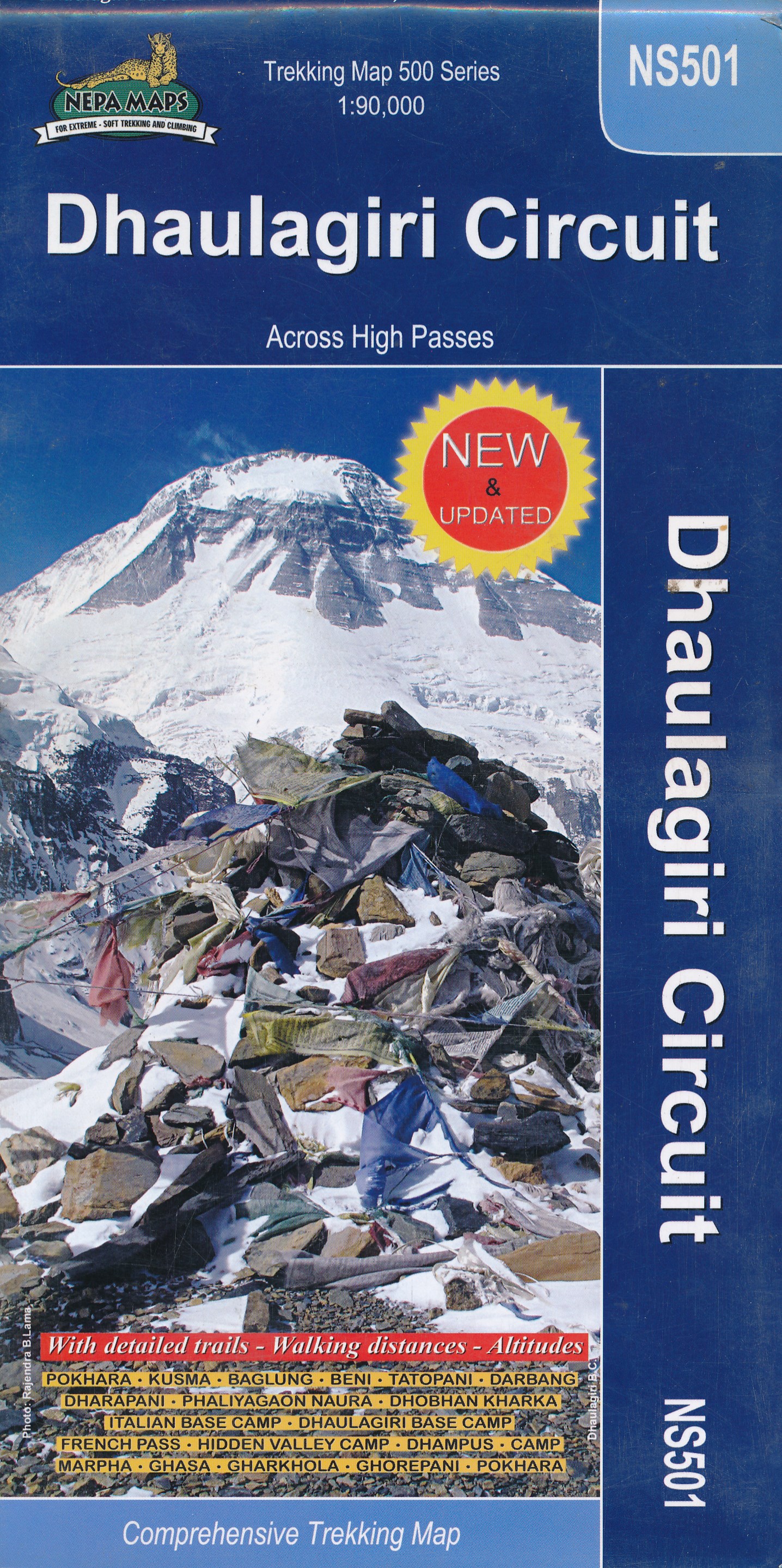
- Wandelkaart NS501 Trekking map Dhaulagiri Circuit | Himalayan Maphouse
- Upper Mustang area at 1:100,000 in the Nepa Maps series which provides extensive coverage of trekking areas of Nepal on detailed contoured maps with trekking routes and hiking trails, huts and camp sites, local places of interest and other tourist information.The map shows trekking routes in the northern part of the Annapurna Conservation Area,... Lire la suite
De Zwerver
Netherlands
Netherlands
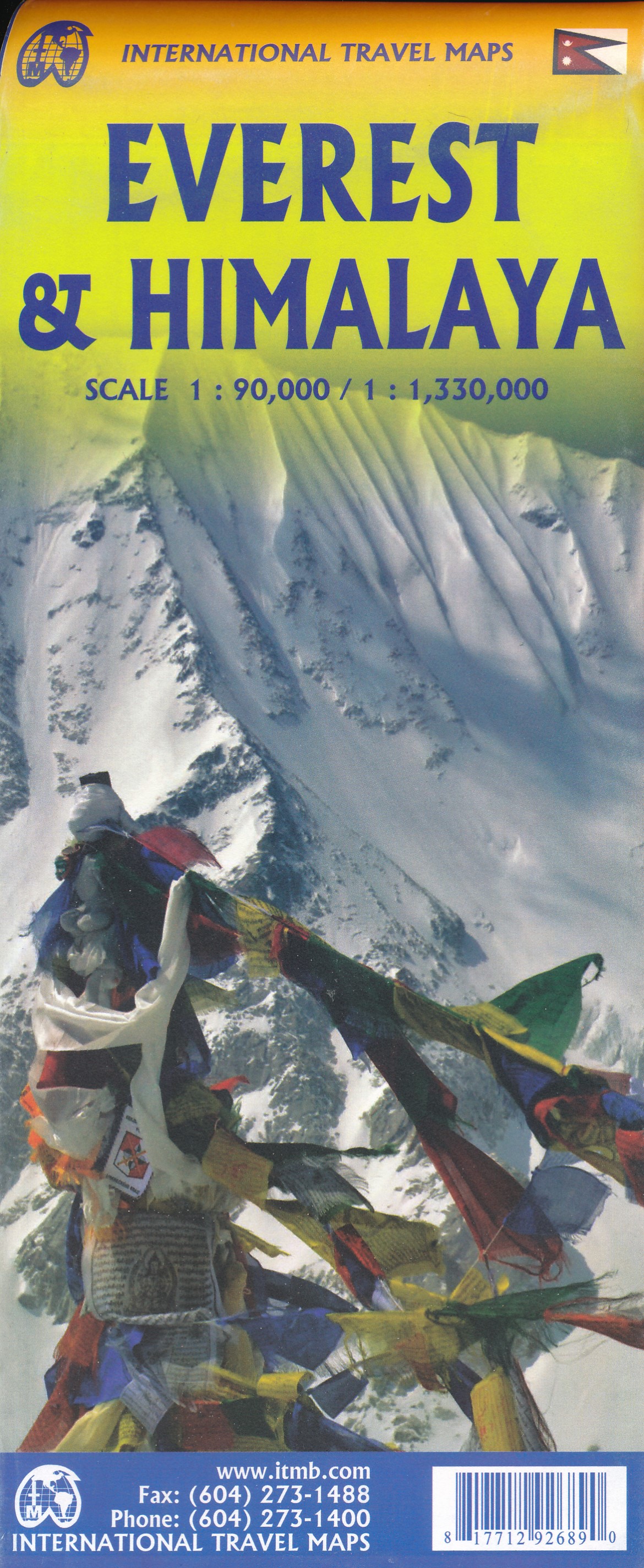
- Wandelkaart Mount Everest - Himalaya | ITMB
- Mt Everest region at 1:100,000 from ITMB on a contoured map with tourist information but with somewhat unusual choice of colouring which makes the whole area appear more like a desert rather the highest mountain range covered in glaciers!Coverage extends from Lukla to beyond the North Base Camp on the Tibetan side. The map has contour lines at... Lire la suite
De Zwerver
Netherlands
2023
Netherlands
2023
De Zwerver
Netherlands
Netherlands