Gendarmstien
Description
- Name Gendarmstien
- Distance de sentier 74 km, 46 milles
- Durée en jours 4 jours
- Début de sentier Padborg
- Fin de sentier Høruphav
- Classement Traildino EW, Marche facile, sentier de la nature
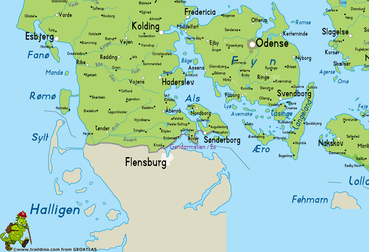
Gendarmstien, Padborg - Sønderborg - Høruphav, 74 km
A long time ago, along the coast of South Jutland and the island of Als, many border guards checked once the sea trade and passage. Each border guard had his own piece of land to guard. This lasted until 1958. All these little paths are strung together to form the Border Guard Trail, or Gendarmpath / Gendarmstien, starting from the border with Germany in Padborg.
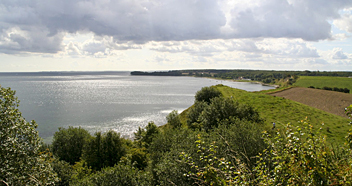
From the coast with its beaches, forests and villages one looks out over the Flensburg Fjord. This elongated water was created by ice and meltwater during the last ice age. On the other side of the water is Germany. At one point, from the church of Kegnæs, you can view the sister church of Neukirchen across the water. The fjord is immensely popular with sailors from all over Europe and there are many little harbours.
Leaflets are available on the Internet (see links below) containing all information and maps to help you finding your way around. The trail borders Germany, so for northern Europeans, this short trail is a good chance to get acquainted with walking in Denmark.
Carte
Liens
Données
Rapports
Guides et cartes
Hébergement
Organisations
Voyagistes
GPS
Autre
Livres
Cartes

United Kingdom
2012
- Valia Kalda - Vasilitsa Anavasi 6.4
- Pindos: Valia Kalda - Vasilitsa area at 1:50,000in a series of waterproof and tear-resistant hiking maps from Anavasi with a UTM grid for GPS users. The map covers part of the northern Pindus highlands, extending northwards from Metsovo to well beyond Smixi, ski centre on the northern slpes of Mt. Vasilitsa. With Samarina on its western margin... Lire la suite

United Kingdom
- Central Rhodopes / Rodopi Geopsis 132
- Central Rhodopes Mountains on the border of north-eastern Greece and Bulgaria on a waterproof and tear-resistant, contoured and GPS compatible map from Geopsis highlighting nine recommended hiking trails and the local section of the E6 cross-Europe long-distance route. All place names are in both Greek and Latin alphabet, with several villages... Lire la suite

United Kingdom
- Eastern Rhodopes / Rodopi Geopsis 131
- Eastern Rhodopes Mountains on the border of north-eastern Greece and Bulgaria on a waterproof and tear-resistant, contoured and GPS compatible map from Geopsis highlighting nine recommended hiking trails and the local section of the E6 cross-Europe long-distance route. All place names are in both Greek and Latin alphabet, with several villages... Lire la suite

United Kingdom
- Western Rhodopes / Rodopi - Falakro Geopsis 133
- Central Rhodopes Mountains on the border of north-eastern Greece and Bulgaria on a waterproof and tear-resistant, contoured and GPS compatible map from Geopsis highlighting nine recommended hiking trails and the local section of the E6 cross-Europe long-distance route. All place names are in both Greek and Latin alphabet, with several villages... Lire la suite

United Kingdom
- Istria K+F Outdoor Map
- Istria at 1:75,000 on a double-sided, durable, waterproof and tear-resistant, GPS compatible recreational map from Kümmerly + Frey, with street plans of Pula, Rovinj, Opatija, Umag, Novigrad, Porec and Vrsar. Topography is indicated by contours at 50m intervals, with relief shading and colouring for woodlands. Road network includes small local... Lire la suite
Netherlands
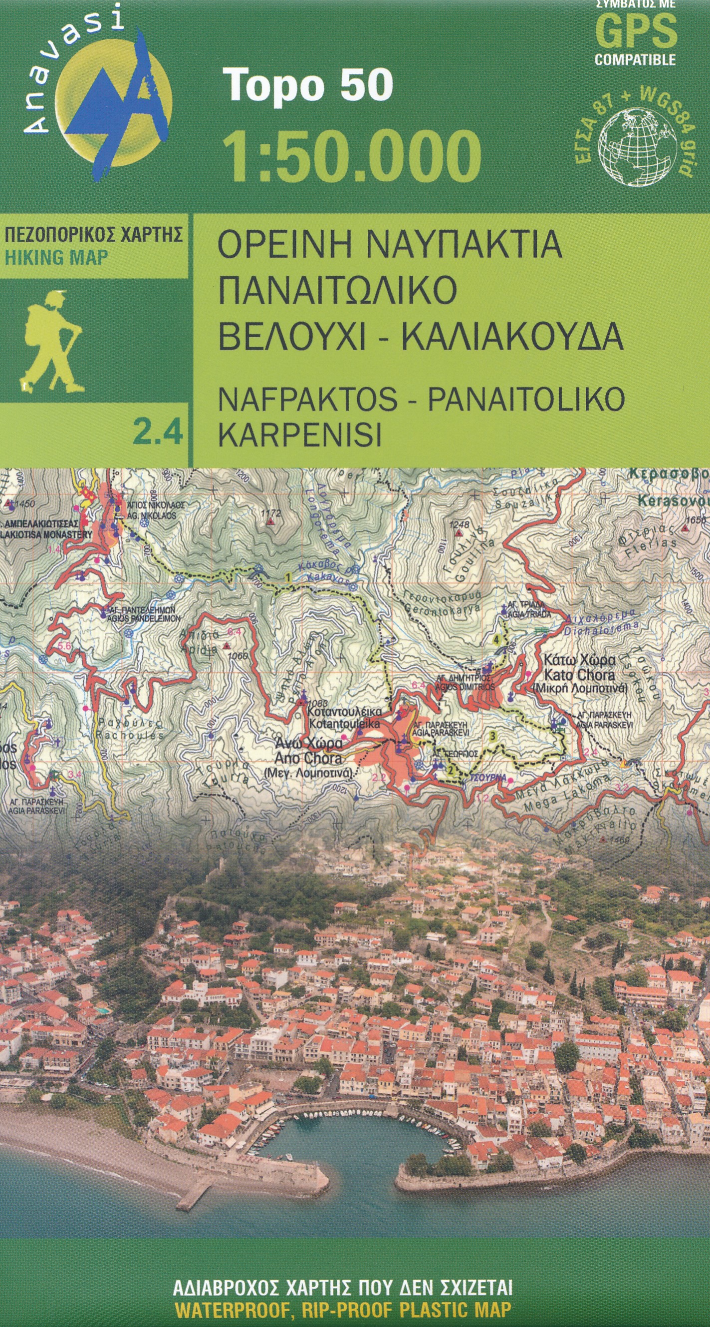
- Wandelkaart 2.4 Nafpaktos - Panaitoliko - Karpenisi | Anavasi
- Prespa - Vitsi – Voras area of northern Greece at 1:50,000 on a light, waterproof and tear-resistant, GPS compatible, contoured map from Anavasi, with recommendations for three hiking trails and notes on the E4 and E6 cross-European trails. The map is double-sided; coverage in the west starts from the Prespa Lake on the border with Albania and... Lire la suite


