
Pologne
Description

Among the gems of Poland are the primeval forests in the north, on the border with Belarus. Wherever there is nature, the Polish establish a national park or nature reserve. For those interested in forests and lakes, there are Bialowieza or Drawienski. But there is more to be explored: marshes, limestone formations, cliffs on the Baltic coast and true mountains. Everyone knows the Tatras, a mountain range on the border with Slowakia, which has Polands highest mountain Rysy (just under 2500m).
How wonderful it must be to explore this country on foot. Good news: Poland has a fantastic system of hiking trails. As proverbial worker bees of Europe the Polish took up the task in a serious way. Believe it or not, there are 45000km of marked hiking trails. A coloured strip between two white bars is the characteristic waymark.
The paths form a maze of colourfully marked trails. Most do not carry a name, but are known by the names of their starting and ending points in combination with a particular colour, which is also indicated on the map. So forget about trails with magical names, and keep in mind that the majority of trails only last 10 to 50km. As a foreigner your best strategy is to set your mind to a specific region or biotope, buy the maps thereof, put on your backpack with camping gear, and set out to explore and enjoy.
All is well organised by the Polish Tourist Association, the PKKT. Their website gives you all you need, if you read Polish that is... PKKT owns 179 mountain huts in the most popular hiking areas.
Winters are cold and summers are hot in Poland. Summer is the best time for the High Tatra mountains, although dry days are few. Lowland areas are best in spring.
Sentiers
Régions


Liens
Données
Rapports
Guides et cartes
Hébergement
Organisations
Voyagistes
GPS
Autre
Livres

United Kingdom
2016
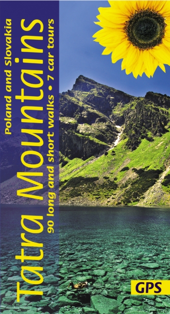
- Tatra Mountains of Poland and Slovakia Sunflower Landscape Guide
- Within the compact area covered by this guide (140km east-west, 65km north-south) are two outstanding national parks in southernmost Poland: Pieniny and Tatra, and the best of neighbouring Slovakia`s mountains in four national parks: Tatra, Slovensky Raj (Slovak Paradise), Low Tatra and Mala Fatra. There can be few places where walkers are... Lire la suite

Netherlands
- Reisegast in Polen
- Polen ist vielen noch unbekannt, dabei ist es sehr lohnend, sich auf dieses schöne Nachbarland mit seiner reichen Kultur, unberührten Landschaften und sympathischen Menschen einzulassen. Dieses Buch zeichnet ein detailliertes Bild der polnischen Gesellschaft und gibt viele wichtige Hinweise zum Verständnis der polnischen... Lire la suite
- Also available from:
- Bol.com, Belgium
Belgium
- Reisegast in Polen
- Polen ist vielen noch unbekannt, dabei ist es sehr lohnend, sich auf dieses schöne Nachbarland mit seiner reichen Kultur, unberührten Landschaften und sympathischen Menschen einzulassen. Dieses Buch zeichnet ein detailliertes Bild der polnischen Gesellschaft und gibt viele wichtige Hinweise zum Verständnis der polnischen... Lire la suite
Netherlands
2017
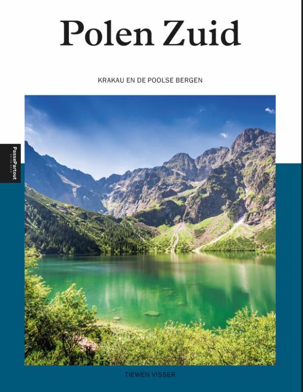
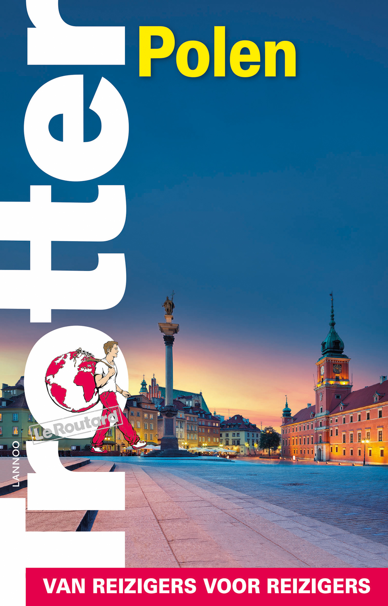
- Reisgids Trotter Polen | Lannoo
- Goede informatieve gids met nadruk op praktische informatie om rond te reizen. Echter ook aandacht voor cultuur en geschiedenis. Geschreven met prachtige Belgische humor, oorspronkelijk Franse gids. Deze handzame reisgids begint met allerlei algemene en inleidende informatie over het land, de cultuur, de taal evenals praktische toeristische... Lire la suite

Netherlands
- Yiddish
- Worldwide interest in Yiddish has often concentrated on its secular forms of expression: its literature, its theater, its journalism and its political-party associations. This all-encompassing study, covers these phenomena as well as investigating the demographic and political mushrooming of Yiddish-speaking Ultra-Orthodoxy, both in America and... Lire la suite
- Also available from:
- Bol.com, Belgium
Belgium
- Yiddish
- Worldwide interest in Yiddish has often concentrated on its secular forms of expression: its literature, its theater, its journalism and its political-party associations. This all-encompassing study, covers these phenomena as well as investigating the demographic and political mushrooming of Yiddish-speaking Ultra-Orthodoxy, both in America and... Lire la suite

Netherlands
- Warsaw City Journal, City Notebook for Warsaw, Poland
- Journal your time in the city Here's the Dragon Dragon City Journal deal: You wander the world having adventures, exploring citie and such. Dragon Dragon offers you 200 pages to document your experiences. That's it. Simple. Beautiful. True. To help keep things organized, we've given each journal a unique city name. Wherever you go in this... Lire la suite
- Also available from:
- Bol.com, Belgium
Belgium
- Warsaw City Journal, City Notebook for Warsaw, Poland
- Journal your time in the city Here's the Dragon Dragon City Journal deal: You wander the world having adventures, exploring citie and such. Dragon Dragon offers you 200 pages to document your experiences. That's it. Simple. Beautiful. True. To help keep things organized, we've given each journal a unique city name. Wherever you go in this... Lire la suite
Netherlands
2018
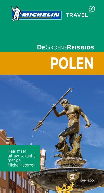
- Reisgids Michelin groene gids Polen | Lannoo
- De serie Groene Reisgidsen van Michelin is een beproefde en betrouwbare reisgidsenreeks. Of u nu lekker lang met vakantie gaat of er zomaar even tussenuit trekt, de Groene Reisgids wijst u de weg naar alle bijzonderheden die uw reisbestemming te bieden heeft, op een boeiende, grondige en praktische manier. Door de opdeling in regio's of... Lire la suite
Netherlands
2023
Netherlands
2015
- Reisgids Neumark | Trescher Verlag
- Mit Sternberger und Lebuser Land Trescher-Reihe Reisen. 1. Auflage. Lire la suite
.jpg)
Netherlands
2017
- Reisgids Krakau - Krakow | Trescher Verlag
- Goede Duitstalige reisgids met veel culturele beschrijvingen. Daarnaast ook aandacht voor praktische zaken als overnachten en rondreizen. Bijzondere duitse uitgever, vaak als eerste een boek over een bepaald gebied of land. Zeer uitgebreide stadsgids over Krakau / Krakow Krakau, die einstige Hauptstat Polens, macht auf einzigartige Weise mit... Lire la suite
Netherlands
2018
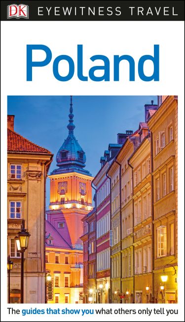
- DK Eyewitness Travel Guide Poland
- The ideal travel companion, full of insider advice on what to see and do, plus detailed itineraries and comprehensive maps for exploring this historic and diverse nation.Take a guided tour of Warsaw, join in at a festival, hike Poland's beautiful countryside, or visit peaceful churches:everything you need to know is clearly laid out within... Lire la suite
- Also available from:
- Bol.com, Belgium
Belgium
2018
- DK Eyewitness Travel Guide Poland
- The ideal travel companion, full of insider advice on what to see and do, plus detailed itineraries and comprehensive maps for exploring this historic and diverse nation.Take a guided tour of Warsaw, join in at a festival, hike Poland's beautiful countryside, or visit peaceful churches:everything you need to know is clearly laid out within... Lire la suite
Netherlands
2023
Netherlands
2011
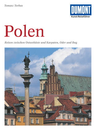
- Reisgids Kunstreiseführer Polen | Dumont
- Nur wenige Kilometer von Berlin entfernt beginnt Polen, der große, unbekannte Nachbar Deutschlands, mit dem ihn eine wechselvolle Geschichte verbindet. In der geographischen Mitte Europas gelegen, befand sich das Land seit einem Jahrtausend an der Schnittstelle europäischer Kultur, sodass sich hier eine erstaunliche Vielfalt kultureller... Lire la suite
Cartes

United Kingdom
- Poland Michelin
- The Michelin National road map of Poland at 1:700,000 scale is ideal for route planning. The map gives comprehensive coverage of national road networks showing all major motorways, dual carriageways, national & regional main roads and some single-lane roads.Distances between major locations are marked along roads, with total distance and... Lire la suite

United Kingdom
- Tatra Tourist Attractions (Dookola Tatr)
- The Tatra Mountains in Poland and Slovakia on an overview road map at 1:100,000 from Cartomedia showing access to the mountains on both sides of the border and highlighting picturesque locations and other places of interest, plus street plans of Nowy Targ in Poland and Poprad and Liptovský Mikuláš in Slovakia. Coverage extends from Nowy Targ... Lire la suite

United Kingdom
- Bieszczady
- Bieszczady Mountains on a double-sided, contoured and GPS compatible map from CartoMedia highlighting waymarked hiking trails, mountain huts and campsites, places of interest, etc, The map covers region at two scales: the furthermost south-eastern corner of Poland including the Bieszczady National Park and Jezioro (Lake) Solinskie at 1:50,000,... Lire la suite

United Kingdom
- Karkonosze
- Karkonosze Mountains in Poland and the Czech Republic on a detailed hiking map at 1:50,000 from EKO-GRAF, with on the reverse on overview map of hiking trails with timings, seven street plans and a sightseeing map of the region highlighting locations of palaces and other historic buildings in Poland.On one side is a detailed map at 1:50,000... Lire la suite

United Kingdom
- Szczecin + 4 (Goleniow, Police, Swinoujscie, Stargard Szczecinski)
- Szczecin + 4 (Goleniow, Police, Swinoujscie and Stargard Szczecinski) at 1:25,000 from Demart, Polish publisher of high quality street plans, showing public transport routes with line numbers and stops, coach connections, petrol stations, hotels, campsites, youth hostels, places of interest, etc.Demart’s street plans are designed to cover the... Lire la suite

United Kingdom
- Bialowieza / Puszcza Bialowieska National Park
- Puszcza Bialowieska - Bialowieza National Park at 1:50,000 in a series of recreational maps from Poland’s Army Cartographic Service. The maps use as their base the military topographic survey, with contours at intervals varying from 5m to 20m according to the terrain and contoured depths shown on lakes. An overprint highlights waymarked hiking,... Lire la suite

United Kingdom
- Baltic Coast Cycle Route Part 3: Usedom - Gdansk (480km) Bikeline Map/Guide
- The Baltic Coast Cycle Route Part 3 – a 480-km long section from the island of Usedom and the Polish/German along the coast of Polish Pomerania to Gdansk presented by Verlag Esterbauer in a German language guide with maps at 1:75,000 showing the route and its variants. Extensive information is conveyed by symbols, indicating road surface,... Lire la suite

United Kingdom
- Oder Estuary (Zalew Szczecinski)
- Oder Estuary with the town Zalew Szczecinski/Szczecin at 1:50,000 in a series of recreational maps from Polish Army Cartographic Service. The maps use as their base the military topographic survey, with contours at intervals varying from 5m to 20m according to the terrain and contoured depths shown on lakes. An overprint highlights waymarked... Lire la suite

United Kingdom
- Tatra National Park
- Detailed hiking map of the Tatra National Park (Tatrzanski) at 1:25,000. The back of the map contains a city map of Zakopane, a small overview map as well as tourist information (in Polish) and pictures.This map covers the whole of the Tatra National Park.Map legend includes English. Cartography all in Czech and Polish.PLEASE NOTE: to see the... Lire la suite
United Kingdom
- Kazimierz Dolny and Environs
- Kazimierz Dolny and Environs at 1:50,000 in a series of recreational maps from Poland’s Army Cartographic Service. The maps use as their base the military topographic survey, with contours at intervals varying from 5m to 20m according to the terrain and contoured depths shown on lakes. An overprint highlights waymarked hiking, cycling and... Lire la suite

United Kingdom
- Krakow and Environs North Cycling Map
- A series of maps around Krakow/Cracow and northern area, following the trail of the most beautiful cycling routes at 1:100,000 scale, include: - the exact course of the trail - facilities for cyclists - mileage and slope of the area - sights, viewpoints, museums- accommodation - and lots of other attractions Lire la suite
United Kingdom
- Drawienski (Drawno) National Park
- Drawienski (Drawno) National Park at 1:50,000 in a series of recreational maps from Poland’s Army Cartographic Service. The maps use as their base the military topographic survey, with contours at intervals varying from 5m to 20m according to the terrain and contoured depths shown on lakes. An overprint highlights waymarked hiking, cycling and... Lire la suite

United Kingdom
- Krakow and Environs South Cycling Map
- A series of maps covering Krakow/Cracow and southern area, following the trail of the most beautiful cycling routes at 1:100,000 scale, include: - the exact course of the trail - facilities for cyclists - mileage and slope of the area - sights, viewpoints, museums- accommodation - and lots of other attractions Lire la suite
United Kingdom
- Klodzko and Environs
- Klodzko and Environs (Ziemia Klodzka) at 1:50,000 in a series of recreational maps from Poland’s Army Cartographic Service. The maps use as their base the military topographic survey, with contours at intervals varying from 5m to 20m according to the terrain and contoured depths shown on lakes. An overprint highlights waymarked hiking, cycling... Lire la suite
Netherlands
2019