Carpathian Mountains
Description
Sentiers de cette région
Liens
Données
Rapports
Guides et cartes
Hébergement
Organisations
Voyagistes
GPS
Autre
Livres

Stanfords
United Kingdom
2020
United Kingdom
2020
- The Mountains of Romania: Trekking in the Carpathian Mountains
- This guide describes 27 short treks of 2-6 days and 10 day walks in the mountains of Romania. Although there is a slight focus on Transylvania, most of the main massifs are included, with chapters covering the Mountains of Maramures, the Eastern Carpathians, the mountains around Brasov, the Fagaras, the region between the Olt and the Jiu, the... Lire la suite
- Also available from:
- The Book Depository, United Kingdom
- De Zwerver, Netherlands

The Book Depository
United Kingdom
2020
United Kingdom
2020
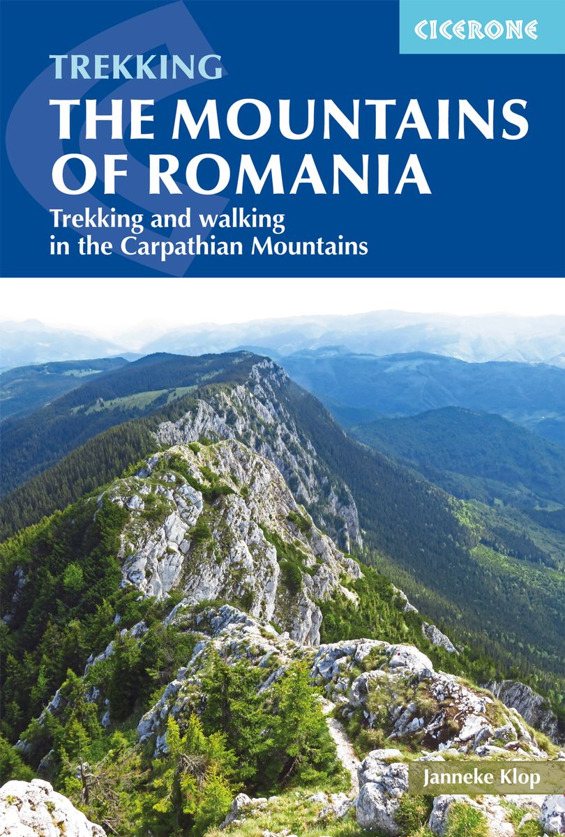
- The Mountains of Romania
- Trekking and walking in the Carpathian Mountains Lire la suite
De Zwerver
Netherlands
2020
Netherlands
2020
- Wandelgids The Mountains of Romania - Roemenië | Cicerone
- This guide describes 27 short treks of 2-6 days and 10 day walks in the mountains of Romania. Although there is a slight focus on Transylvania, most of the main massifs are included, with chapters covering the Mountains of Maramures, the Eastern Carpathians, the mountains around Brasov, the Fagaras, the region between the Olt and the Jiu, the... Lire la suite

The Book Depository
United Kingdom
United Kingdom
- Into the Carpathians
- A Journey Through the Heart and History of East Central Europe (Part 2: The Western Mountains) Lire la suite
Bol.com
Netherlands
2016
Netherlands
2016
- Lonely Planet Poland
- Lonely Planet Poland is your passport to the most relevant, up-to-date advice on what to see and skip, and what hidden discoveries await you. Experience Krakow's scintillating nightlife, admire the elegance of Warsaw's 'Palace on the Water' or explore the amber stalls along the crooked medieval lanes of Gdansk; all with your trusted travel... Lire la suite
- Also available from:
- Bol.com, Belgium

Bol.com
Belgium
2016
Belgium
2016
- Lonely Planet Poland
- Lonely Planet Poland is your passport to the most relevant, up-to-date advice on what to see and skip, and what hidden discoveries await you. Experience Krakow's scintillating nightlife, admire the elegance of Warsaw's 'Palace on the Water' or explore the amber stalls along the crooked medieval lanes of Gdansk; all with your trusted travel... Lire la suite
Bol.com
Netherlands
Netherlands
- The Rough Guide to Romania
- Make the most of your time with The Rough Guide to Romania, the ultimate guide to one of the most beautiful countries in Southeast Europe. The full-colour section introduces the country's highlights, from the monumental Palace of Parliament in Bucharest to the majestic Bicaz gorges. Using informed accounts, clue-up on all the top sights from... Lire la suite
- Also available from:
- Bol.com, Belgium

Bol.com
Belgium
Belgium
- The Rough Guide to Romania
- Make the most of your time with The Rough Guide to Romania, the ultimate guide to one of the most beautiful countries in Southeast Europe. The full-colour section introduces the country's highlights, from the monumental Palace of Parliament in Bucharest to the majestic Bicaz gorges. Using informed accounts, clue-up on all the top sights from... Lire la suite

Stanfords
United Kingdom
2020
United Kingdom
2020
- Bratislava Bradt City Guide
- This new, thoroughly updated edition of Bradt`s Bratislava remains the only guide dedicated to this compact and increasingly popular city. Split into ten easy-to-follow chapters, the guide covers everything from local politics and cultural etiquette in the opening sections, followed by information on planning, practical information, local... Lire la suite
- Also available from:
- De Zwerver, Netherlands

De Zwerver
Netherlands
2020
Netherlands
2020
- Reisgids City guides Bratislava | Bradt Travel Guides
- This new, thoroughly updated edition of Bradt`s Bratislava remains the only guide dedicated to this compact and increasingly popular city. Split into ten easy-to-follow chapters, the guide covers everything from local politics and cultural etiquette in the opening sections, followed by information on planning, practical information, local... Lire la suite
Bol.com
Netherlands
Netherlands
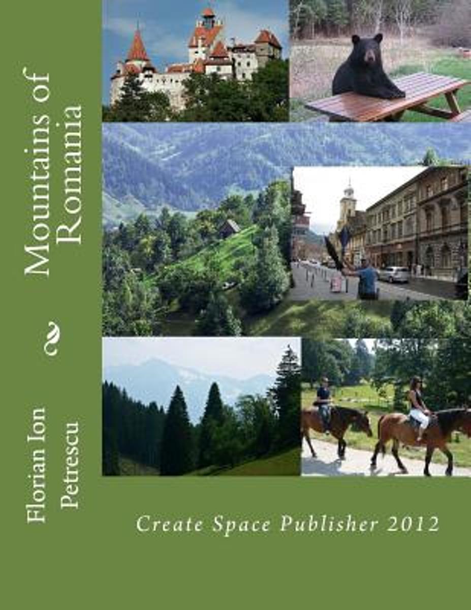
- Mountains of Romania
- The Carpathians Mountains The Carpathian Mountains are the eastern wing of the great Central Mountain System of Europe, curving 1500 km (~900 miles) along the borders of Austria, the Czech Republic, Slovakia, Poland, Ukraine, Romania, Serbia and Montenegro and northern Hungary. Romania contains by far the largest area of the Carpathians, and... Lire la suite
- Also available from:
- Bol.com, Belgium

Bol.com
Belgium
Belgium
- Mountains of Romania
- The Carpathians Mountains The Carpathian Mountains are the eastern wing of the great Central Mountain System of Europe, curving 1500 km (~900 miles) along the borders of Austria, the Czech Republic, Slovakia, Poland, Ukraine, Romania, Serbia and Montenegro and northern Hungary. Romania contains by far the largest area of the Carpathians, and... Lire la suite
Bol.com
Netherlands
Netherlands
- Mountains of Romania
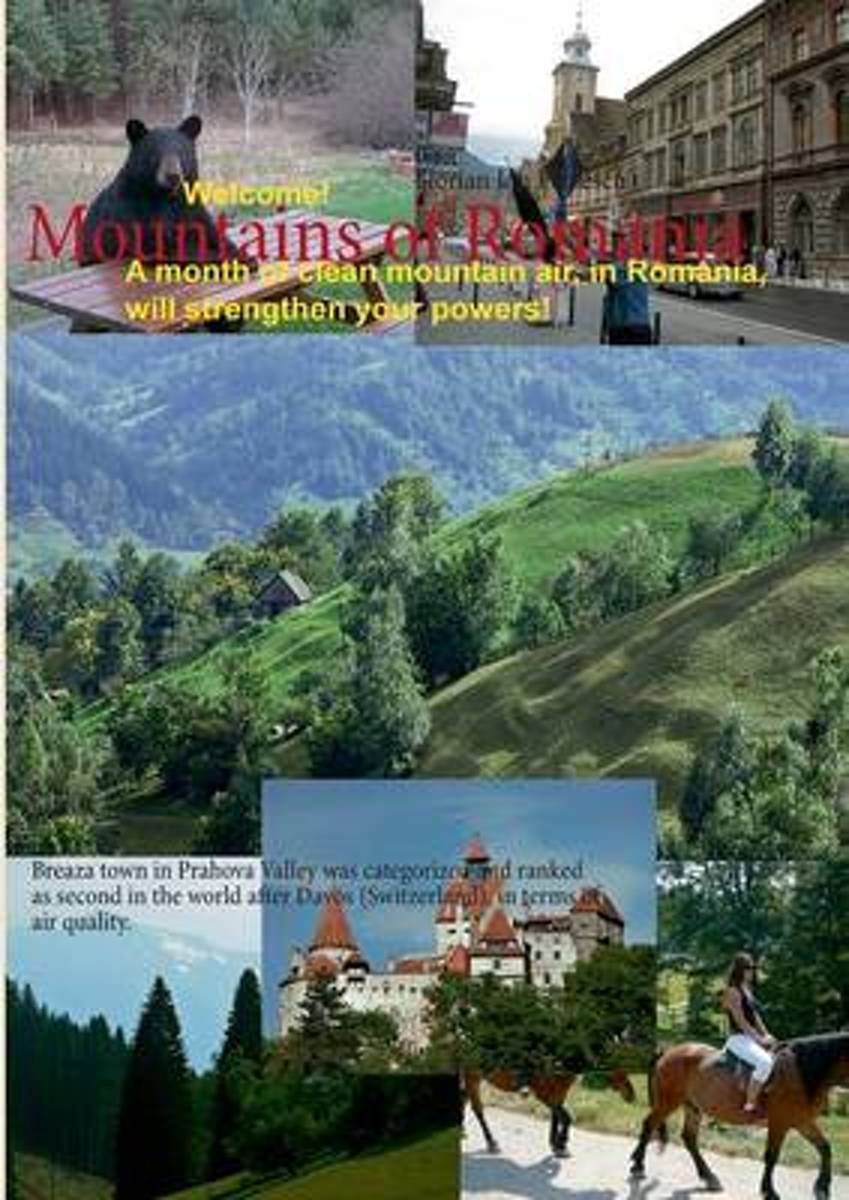
- Breaza town in Prahova Valley was categorized and ranked as second in the world after Davos (Switzerland), in terms of air quality. With a mild climate, similar, but with an air slightly more powerful, are classified and resorts, Predeal, Poiana Brasov, Tusnad, Borsec, Campina, Busteni, Azuga, Sinaia, etc.. The Carpathian Mountains are the... Lire la suite
- Also available from:
- Bol.com, Belgium

Bol.com
Belgium
Belgium
- Mountains of Romania
- Breaza town in Prahova Valley was categorized and ranked as second in the world after Davos (Switzerland), in terms of air quality. With a mild climate, similar, but with an air slightly more powerful, are classified and resorts, Predeal, Poiana Brasov, Tusnad, Borsec, Campina, Busteni, Azuga, Sinaia, etc.. The Carpathian Mountains are the... Lire la suite

Bol.com
Netherlands
Netherlands
- Ultimate Wildlife Destinations
- This book combines the desire for ever more adventurous activities with our long-standing passion for wildlife, all the while infused with responsible travel themes and conservation topics. From tracking jaguars in Brazil to snorkelling with whale sharks in Honduras, and from hiking in Transylvania's Carpathian Mountains in search of European... Lire la suite
- Also available from:
- Bol.com, Belgium

Bol.com
Belgium
Belgium
- Ultimate Wildlife Destinations
- This book combines the desire for ever more adventurous activities with our long-standing passion for wildlife, all the while infused with responsible travel themes and conservation topics. From tracking jaguars in Brazil to snorkelling with whale sharks in Honduras, and from hiking in Transylvania's Carpathian Mountains in search of European... Lire la suite
Bol.com
Netherlands
2013
Netherlands
2013
- The Mountains of Romania
- Walking and trekking guidebook to Romania's Carpathian Mountains. one of the wildest parts of Eastern Europe. This is a complete guide to exploring the Carpathian mountains and Transylvania, including both remote and more popular areas, such as Poiana Brasov, with detailed descriptions of main bases and ranges, and over 30 massifs, including... Lire la suite
- Also available from:
- Bol.com, Belgium

Bol.com
Belgium
2013
Belgium
2013
- The Mountains of Romania
- Walking and trekking guidebook to Romania's Carpathian Mountains. one of the wildest parts of Eastern Europe. This is a complete guide to exploring the Carpathian mountains and Transylvania, including both remote and more popular areas, such as Poiana Brasov, with detailed descriptions of main bases and ranges, and over 30 massifs, including... Lire la suite
Bol.com
Netherlands
2016
Netherlands
2016
- Rough Guide - Romania
- The Rough Guide to Romania is the definitive guidebook to one of Europe's most fascinating, scenic, and enigmatic countries.A full-color introduction highlights all the must-see sights, from the wilds of the Carpathian mountains to the marvelous Delta wetlands, and references the country's many unique festivals. Two full-color sections describe... Lire la suite
- Also available from:
- Bol.com, Belgium

Bol.com
Belgium
2016
Belgium
2016
- Rough Guide - Romania
- The Rough Guide to Romania is the definitive guidebook to one of Europe's most fascinating, scenic, and enigmatic countries.A full-color introduction highlights all the must-see sights, from the wilds of the Carpathian mountains to the marvelous Delta wetlands, and references the country's many unique festivals. Two full-color sections describe... Lire la suite
De Zwerver
Netherlands
2016
Netherlands
2016
- Wandelgids Kom-Emine Bulgarije E3 | Oilaripi
- Een uitstekende wandelgids van een beroemd lange-afstands-wandelpad in Bulgarije, onderdeel van de E3 route. Goede beschrijving, mooie kaarten en praktische informatie. Onverwacht hoog nivo van de gids voor een land waar tot voor kort weinig beschikbaar was. Kom-Emine is a long distance path in Bulgaria, part of the E3 European Long Distance... Lire la suite
Bol.com
Netherlands
2014
Netherlands
2014
- On the Trail of Genghis Khan
- The relationship between man and horse on the Eurasian steppe gave rise to a succession of rich nomadic cultures. Among them were the Mongols of the thirteenth century - a small tribe, which, under the charismatic leadership of Genghis Khan, created the largest contiguous land empire in history. Inspired by the extraordinary life nomads still... Lire la suite
- Also available from:
- Bol.com, Belgium
- De Zwerver, Netherlands

Bol.com
Belgium
2014
Belgium
2014
- On the Trail of Genghis Khan
- The relationship between man and horse on the Eurasian steppe gave rise to a succession of rich nomadic cultures. Among them were the Mongols of the thirteenth century - a small tribe, which, under the charismatic leadership of Genghis Khan, created the largest contiguous land empire in history. Inspired by the extraordinary life nomads still... Lire la suite
De Zwerver
Netherlands
2014
Netherlands
2014
- Reisverhaal On the Trail of Genghis Khan | Tim Cope
- An Epic Journey Through the Land of the Nomads Lire la suite

Bol.com
Netherlands
Netherlands
- A History Of Mountaineering In The Alps
- AUTHORS NOTE: WRITING a history of mountaineering when so many books have already been devoted to one or father aspect of the subject is a problem, the solution of which has not always been easy to find. I have attempted, moreover, to write it direct into English, which is not my mother tongue, and that has added to my problems. I have tried to... Lire la suite
- Also available from:
- Bol.com, Belgium

Bol.com
Belgium
Belgium
- A History Of Mountaineering In The Alps
- AUTHORS NOTE: WRITING a history of mountaineering when so many books have already been devoted to one or father aspect of the subject is a problem, the solution of which has not always been easy to find. I have attempted, moreover, to write it direct into English, which is not my mother tongue, and that has added to my problems. I have tried to... Lire la suite
Bol.com
Netherlands
2017
Netherlands
2017
- Lonely Planet Romania & Bulgaria
- Lonely Planet: The world's leading travel guide publisherLonely Planet Romania & Bulgaria is your passport to all the most relevant and up-to-date advice on what to see, what to skip, and what hidden discoveries await you. Absorb the vibrant landscape by hiking the Carpathians, relax on Bulgaria's Black Sea coast, or experience the kaleidoscope... Lire la suite
- Also available from:
- Bol.com, Belgium
- De Zwerver, Netherlands

Bol.com
Belgium
2017
Belgium
2017
- Lonely Planet Romania & Bulgaria
- Lonely Planet: The world's leading travel guide publisherLonely Planet Romania & Bulgaria is your passport to all the most relevant and up-to-date advice on what to see, what to skip, and what hidden discoveries await you. Absorb the vibrant landscape by hiking the Carpathians, relax on Bulgaria's Black Sea coast, or experience the kaleidoscope... Lire la suite
De Zwerver
Netherlands
2017
Netherlands
2017
- Reisgids Romania & Bulgaria - Roemenië en Bulgarije | Lonely Planet
- De perfecte reisgids voor zowel de georganiseerde als de zelfstandige reiziger. Naast een algemene inleiding van het land / streek vol met praktische informatie over hoe je er het beste kunt reizen: slapen, eten, vervoer, excursies ... alles kun je er in vinden. Engelstalig. Lonely Planet Romania & Bulgaria is your passport to all the most... Lire la suite
Cartes

Stanfords
United Kingdom
United Kingdom
- E3 Arquipelago de Madeira
- Plans included:Porto Santo (1:25 000)Porto de Recreio da Calheta (1:6250)Funchal (1:10 000)Água de Pena (1:5000)Porto de Machico (1:7500)Quinta do Lorde (1:5000)Ponta de São Lourenço (1:30 000)Enseada da Doca (Isla Deserta Grande) (1:25 000)Selvagem Grande (1:30 000)Selvagem Pequena (1:30 000)On this edition the chart specification has been... Lire la suite

Stanfords
United Kingdom
United Kingdom
- Ukrainian Carpathians: Gorgany North (Slavske - Perehinske)
- The northern part of the Gorgany (Horhany) chain of the Carpathian Mountains in the Ukraine on a contoured and GPS compatible map at 1:50,000 from Kartografija in Kiev, with cartography of the country’s topographic survey and an overprint for hiking trails. Coverage extends westwards from Perehinske and the Limnytsia River to the village of... Lire la suite

Stanfords
United Kingdom
United Kingdom
- Czechia Shocart 50K Tourist Atlas
- Czech Republic Tourist Atlas from Shocart with over 600 pages of contoured mapping at an exceptionally detailed scale of 1:50,000 with hiking and cycling trails, presented in an A4 ring-binder with a hard slipcase. Each page is removable so coverage can be easily assembled for just selected parts of the country, or individual pages used on... Lire la suite

Stanfords
United Kingdom
United Kingdom
- Transrhodopi - Long distance hiking and biking trail From Trigrad to Ivaylovgrad
- Western Rhodope Mountains at 1:100,000 on a contoured GPS compatible map from Domino extending from just west of the Pirin National Park to Asenovgrad in the north-east. The map is double-sided with a good overlap between the sides. Topography is shown by contours at 50m intervals with relief shading and spot heights, plus colouring for... Lire la suite

Stanfords
United Kingdom
United Kingdom
- Stara Planina Central: Zlatitsa to Kalofer Domino Map
- Stara Planina Central: Zlatitsa to Kalofer map at 1:50,000 from Bulgarian publishers Domino, contoured and GPS compatible, with hiking trails, accommodation options including a list of local mountain refuges, etc. The map is double-sided and covers the mountains from just west of Ribaritsa and Zlatitsa eastwards beyond Kalofer to the peak of... Lire la suite
- Also available from:
- De Zwerver, Netherlands

De Zwerver
Netherlands
Netherlands
- Wandelkaart 1 Stara Planina gebergte | Domino
- Stara Planina Central: Zlatitsa to Kalofer map at 1:50,000 from Bulgarian publishers Domino, contoured and GPS compatible, with hiking trails, accommodation options including a list of local mountain refuges, etc. The map is double-sided and covers the mountains from just west of Ribaritsa and Zlatitsa eastwards beyond Kalofer to the peak of... Lire la suite

Stanfords
United Kingdom
United Kingdom
- Stara Planina Central: Uzana to Vratnik Domino Map
- Stara Planina Central: Uzana to Vratnik map at 1:50,000 from Bulgarian publishers Domino, contoured and GPS compatible, with hiking trails, accommodation options including a list of local mountain refuges, etc. The map is double-sided and covers the mountains from just west of the Uzana massif, the geographical centre of Bulgaria, eastwards to... Lire la suite
- Also available from:
- De Zwerver, Netherlands

De Zwerver
Netherlands
Netherlands
- Wandelkaart 2 Stara Planina gebergte | Domino
- Stara Planina Central: Uzana to Vratnik map at 1:50,000 from Bulgarian publishers Domino, contoured and GPS compatible, with hiking trails, accommodation options including a list of local mountain refuges, etc. The map is double-sided and covers the mountains from just west of the Uzana massif, the geographical centre of Bulgaria, eastwards to... Lire la suite

Stanfords
United Kingdom
United Kingdom
- Stara Planina Western: Belogradchik to Berkovita Domino Map
- Stara Planina Western: Belogradchik to Berkovita map at 1:50,000 from Bulgarian publishers Domino, contoured and GPS compatible, with hiking trails, accommodation options including a list of local mountain refuges, etc. The map is double-sided and covers the mountains from the peak of Byala Voda near Belogradchik eastwards to just beyond... Lire la suite
- Also available from:
- De Zwerver, Netherlands

De Zwerver
Netherlands
Netherlands
- Wandelkaart 3 Stara Planina gebergte | Domino
- Stara Planina Western: Belogradchik to Berkovita map at 1:50,000 from Bulgarian publishers Domino, contoured and GPS compatible, with hiking trails, accommodation options including a list of local mountain refuges, etc. The map is double-sided and covers the mountains from the peak of Byala Voda near Belogradchik eastwards to just beyond... Lire la suite

Stanfords
United Kingdom
United Kingdom
- Stara Planina Western: Berkovita to Zlatitsa Domino Map
- Stara Planina Western: Berkovita to Zlatitsa map at 1:50,000 from Bulgarian publishers Domino, contoured and GPS compatible, with hiking trails, accommodation options including a list of local mountain refuges, etc. The map is double-sided and covers the mountains from Varshets (directly north of Sofia) to just beyond Etrepole.Maps in the... Lire la suite
- Also available from:
- De Zwerver, Netherlands

De Zwerver
Netherlands
Netherlands
- Wandelkaart 4 Stara Planina gebergte | Domino
- Stara Planina Western: Berkovita to Zlatitsa map at 1:50,000 from Bulgarian publishers Domino, contoured and GPS compatible, with hiking trails, accommodation options including a list of local mountain refuges, etc. The map is double-sided and covers the mountains from Varshets (directly north of Sofia) to just beyond Etrepole.Maps in the... Lire la suite

Stanfords
United Kingdom
United Kingdom
- Strandzha Mountains: Burgas to the Turkish Border Domino Map
- Strandzha Mountains in the south-eastern corner of Bulgaria between Burgas to the Turkish border on a contoured and GPS compatible map from Domino showing local hiking trails and highlighting various interesting sites, with three more detailed enlargements at 1:25,000. Most place names are in both Latin and Cyrillic alphabet; map legend... Lire la suite
- Also available from:
- De Zwerver, Netherlands

De Zwerver
Netherlands
Netherlands
- Wandelkaart Strandzha - Bulgarije | Domino
- Strandzha Mountains in the south-eastern corner of Bulgaria between Burgas to the Turkish border on a contoured and GPS compatible map from Domino showing local hiking trails and highlighting various interesting sites, with three more detailed enlargements at 1:25,000. Most place names are in both Latin and Cyrillic alphabet; map legend... Lire la suite

Stanfords
United Kingdom
United Kingdom
- Rila Mountains Domino
- Rila Mountains at 1:50,000 on a large, double-sided, contoured map with GPS waypoints for shelters and chalets, peaks, etc. and highlighting hiking routes. Topography is shown by contours at 50m intervals with additional relief shading and graphics and colouring for scree, single rocks over 5m high, marshlands and pine scrub and forests. An... Lire la suite
- Also available from:
- De Zwerver, Netherlands

De Zwerver
Netherlands
Netherlands
- Wandelkaart 5 Rila gebergte | Domino
- Rila Mountains at 1:50,000 on a large, double-sided, contoured map with GPS waypoints for shelters and chalets, peaks, etc. and highlighting hiking routes. Topography is shown by contours at 50m intervals with additional relief shading and graphics and colouring for scree, single rocks over 5m high, marshlands and pine scrub and forests. An... Lire la suite
De Zwerver
Netherlands
Netherlands
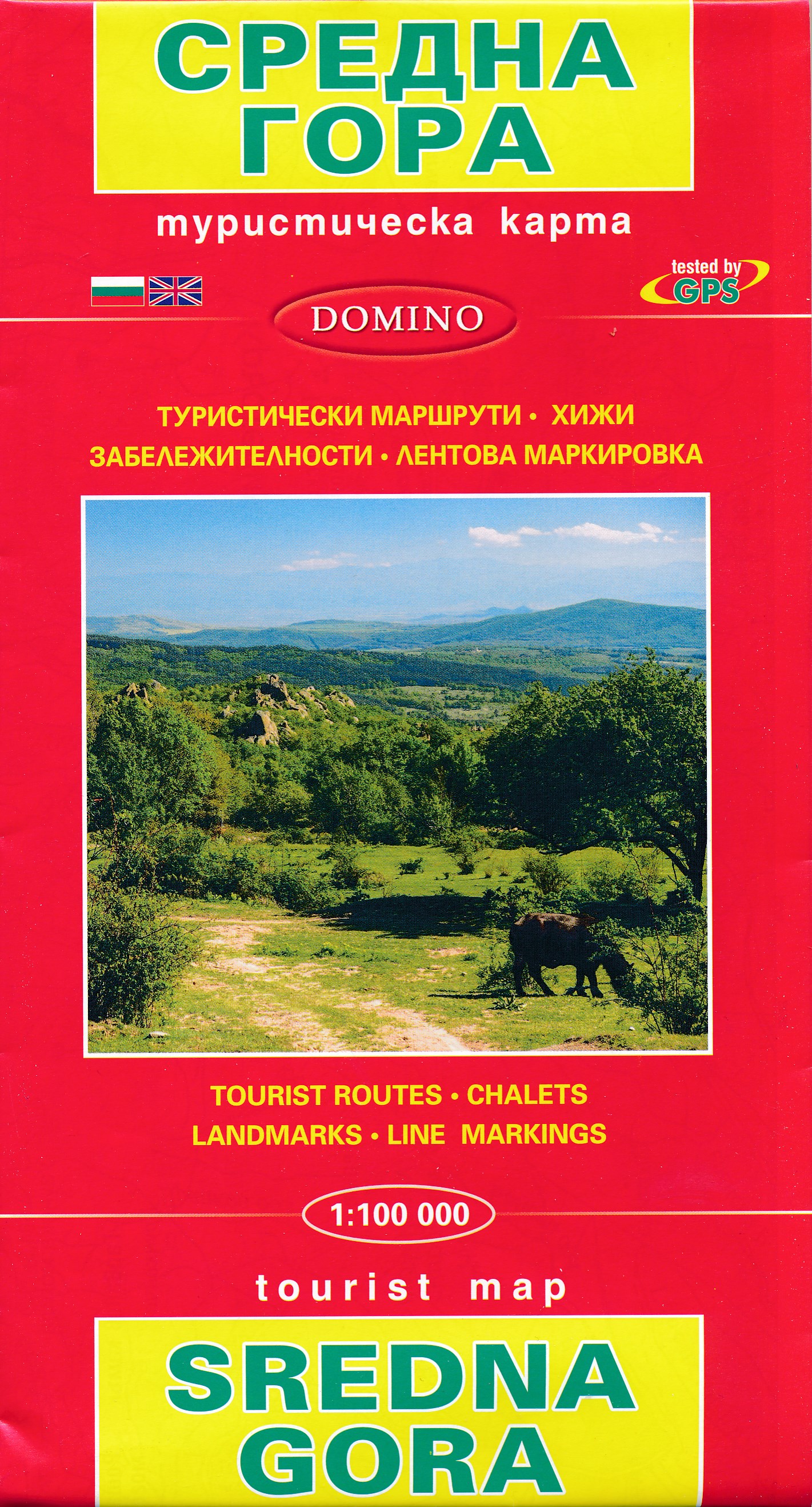
- Wandelkaart Sredna Gora - Bulgarije | Domino
- Pirin Mountains at 1:50,000 on a large, double-sided, contoured map with GPS waypoints for shelters and chalets, peaks, etc. and highlighting hiking routes. Topography is shown by contours at 40m intervals with additional relief shading and graphics and colouring for sandstone stacks, single rocks over 5m high, marshlands and different types of... Lire la suite

Stanfords
United Kingdom
United Kingdom
- Pirin Mountains Domino
- Pirin Mountains at 1:50,000 on a large, double-sided, contoured map with GPS waypoints for shelters and chalets, peaks, etc. and highlighting hiking routes. Topography is shown by contours at 40m intervals with additional relief shading and graphics and colouring for sandstone stacks, single rocks over 5m high, marshlands and different types of... Lire la suite
- Also available from:
- De Zwerver, Netherlands

De Zwerver
Netherlands
Netherlands
- Wandelkaart 6 Pirin gebergte | Domino
- Pirin Mountains at 1:50,000 on a large, double-sided, contoured map with GPS waypoints for shelters and chalets, peaks, etc. and highlighting hiking routes. Topography is shown by contours at 40m intervals with additional relief shading and graphics and colouring for sandstone stacks, single rocks over 5m high, marshlands and different types of... Lire la suite

Stanfords
United Kingdom
United Kingdom
- Western Rhodope Mountains Domino Map
- Western Rhodope Mountains at 1:100,000 on a contoured GPS compatible map from Domino extending from just west of the Pirin National Park to Asenovgrad in the north-east. The map is double-sided with a good overlap between the sides. Topography is shown by contours at 50m intervals with relief shading and spot heights, plus colouring for... Lire la suite
- Also available from:
- De Zwerver, Netherlands

De Zwerver
Netherlands
Netherlands
- Wandelkaart - Wegenkaart - landkaart 7 Westelijke Rhodopen - Western Rhodopes | Domino
- Western Rhodope Mountains at 1:100,000 on a contoured GPS compatible map from Domino extending from just west of the Pirin National Park to Asenovgrad in the north-east. The map is double-sided with a good overlap between the sides. Topography is shown by contours at 50m intervals with relief shading and spot heights, plus colouring for... Lire la suite

