
Exmoor
Description
Exmoor National Park is located in southwest England, and is divided between the counties Somerset and Devon.
Exmoor is very different from the other main park in Devon: Dartmoor. Dartmoor is empty, infertile, very wet. Exmoor National Park on the other hand has a diverse nature, including farmlands, woods, small hamlets some of the wildest coastline in England, ánd moorland.
Sentiers de cette région
Liens
Données
Rapports
Guides et cartes
Hébergement
Organisations
Voyagistes
GPS
Autre
Livres

Stanfords
United Kingdom
2019
United Kingdom
2019
- Cornwall Coast Path - Bude to Plymouth (South West Coast Path Part 2)
- Practical, complete hiking route guide, with maps and accommodation for the 288-mile footpath that runs around the entire coastline of Cornwall, from Bude to Plymouth; Part 2 of the South-West-Coast Path, a 630-mile National Trail from Minehead to Poole. Includes * 142 large-scale walking maps (3 1/8inches to 1 mile), 24 town plans, 21 stage... Lire la suite

Stanfords
United Kingdom
United Kingdom
- Walks Along The West Jurassic Coast
- From the Publisher of the highly acclaimed Jurassic Coast Official Guide, Coastal Publishing Limited is a fast growing publisher with an expanding list of books of regional interest and national appeal. Walks Along the East Jurassic Coast and its companion Walks Along the West Jurassic Coast Are the first two books in a series of 11 walking... Lire la suite

Stanfords
United Kingdom
2019
United Kingdom
2019
- Exmoor National Park (Slow Travel) Bradt Guide
- This new title in Bradt`s distinctive series of Slow travel guides to regions of Britain is the only general guide to focus exclusively on Exmoor, covering all of the national park plus towns and villages just outside the boundary. Written by expert resident author Hilary Bradt, coast and moorland, hiking, wildlife and birdwatching are all... Lire la suite

Stanfords
United Kingdom
2021
United Kingdom
2021
- DK Eyewitness England`s South Coast
- Windswept cliffs, breathtaking beaches, and vibrant cities: welcome to the stunning south of England.Whether you want to relax on the sandy shores of Cornwall, wander around London`s famous museums or browse vintage shops in Brighton, your DK Eyewitness travel guide makes sure you experience all that this region has to offer.England`s South... Lire la suite


Stanfords
United Kingdom
United Kingdom
- Leicestershire & Rutland - Pocket Pub Walks
- Fifteen circular walks ranging between 3 and a half to 6 miles, taking you through the beautiful scenery of Exmoor and The Quantocks. This book fits neatly into a pocket and also gives you information on places of interest along the way. Lire la suite

Stanfords
United Kingdom
United Kingdom
- Walks Along the East Jurassic Coast - Studland to Portland
- From the Publisher of the highly acclaimed Jurassic Coast Official Guide, Coastal Publishing Limited is a fast growing publisher with an expanding list of books of regional interest and national appeal. Walks Along the East Jurassic Coast and its companion Walks Along the West Jurassic Coast Are the first two books in a series of 11 walking... Lire la suite

Stanfords
United Kingdom
United Kingdom
- South Devon Coast - Plymouth to Lyme Regis - Classic Walks - South West Coast Path
- These attractive and cleverly structured guides will give walkers ten of the best short circular walks along each of the five sections of the 630-mile long South West Coast Path in a popular pocket-size format.With clear information, an overview and introduction for each walk, expertly written numbered directions, large scale Ordnance Survey... Lire la suite

Stanfords
United Kingdom
2019
United Kingdom
2019
- Insight Guides Great Breaks Devon & Cornwall (Travel Guide with Free eBook)
- Explore the best of Devon and Cornwall with this indispensably practical Insight Great Breaks Guide. From making sure you don`t miss out on must-see attractions like the Eden Project, Exeter, Tresco Gardens, Dartmoor and Torquay, to discovering hidden gems, including Tintagel, the easy-to-follow, ready-made walking routes will save you time,... Lire la suite

Stanfords
United Kingdom
United Kingdom
- Newquay, Bodmin, Camelford & St Austell OS Landranger Active Map 200 (waterproof)
- Newquay and Bodmin area, including a section of the South West Coast Path National Trail, on a waterproof and tear-resistant OS Active version of map No. 200 from the Ordnance Survey’s Landranger series at 1:50,000, with contoured and GPS compatible topographic mapping plus tourist information.MOBILE DOWNLOADS: As well as the physical edition... Lire la suite

Stanfords
United Kingdom
United Kingdom
- Bournemouth, Purbeck, Wimborne Minster & Ringwood OS Landranger Active Map 195 (waterproof)
- Bournemouth and the Isle of Purbeck area, including part of the New Forest National Park and a section of the South West Coast Path / E9 European Long-distance Path, on a waterproof and tear-resistant OS Active version of map No. 195 from the Ordnance Survey’s Landranger series at 1:50,000, with contoured and GPS compatible topographic mapping... Lire la suite

Stanfords
United Kingdom
United Kingdom
- South Devon - Brixham to Newton Ferrers OS Explorer Active Map OL20 (waterproof)
- The coast of South Devon on a detailed topographic and GPS compatible map OL20, waterproof version, from the Ordnance Survey’s 1:25,000 Explorer series. The map extends westwards beyond Newton Ferrers to Plymouth, eastwards beyond Brixham to Torquay, and inland to include part of the Dartmoor National Park. Coverage includes Paignton, Totness,... Lire la suite

Stanfords
United Kingdom
United Kingdom
- Barnstaple, Ilfracombe, Lynton & Bideford OS Landranger Active Map 180 (waterproof)
- Barnstaple and Ilfracombe area, including the western part of the Exmoor National Park and a section of the South West Coast Path, on a waterproof and tear-resistant OS Active version of map No. 180 from the Ordnance Survey’s Landranger series at 1:50,000, with contoured and GPS compatible topographic mapping plus tourist information.MOBILE... Lire la suite

Stanfords
United Kingdom
2019
United Kingdom
2019
- Two Moors Way Cicerone Map Booklet
- All the mapping you need to complete the Two Moors Way, Devon`s coast to coast route between Wembury Bay and Lynmouth, including a section of the Erme-Plym Trail. NOTE: An accompanying Cicerone guidebook - The Two Moors Way - describes the route south to north, with summary directions for walking north to south. It includes lots of other... Lire la suite

Stanfords
United Kingdom
United Kingdom
- Coastal Pub Walks: Dorset: Walks to amazing pubs along the South West Coast Path
- One of seven books in the new Top 10 Walks: South West Coast Path series, these attractive and cleverly structured guides will give walkers ten of the best short circular walks along each of the five sections of the 630-mile long South West Coast Path in a popular pocket-size format.With clear information, an overview and introduction for each... Lire la suite
- Also available from:
- The Book Depository, United Kingdom

The Book Depository
United Kingdom
United Kingdom
- Coastal Pub Walks: Dorset
- Walks to amazing pubs along the South West Coast Path Lire la suite
Cartes

Stanfords
United Kingdom
United Kingdom
- Exmoor & Taunton Cycling Map 84
- Exmoor and Taunton area of Devon and Somerset at 1:100,000 on a handy size, 50x35cm, double-sided contoured map from Croydecycle, printed on waterproof and tear-resistant synthetic paper and showing National Cycle routes and numerous local facilities, including campsites, pubs, etc. Coverage extends from Combe Martin, Barnstaple and South... Lire la suite
Stanfords
United Kingdom
2015
United Kingdom
2015
- South West Coast Path 5 - Dorset A-Z Adventure Atlas
- South West Coast Path 5 - Dorset Adventure Atlas at 1:25,000 in a series of handy A5 size Adventure Atlases from Geographers` A-Z Map Company with cartography from the Ordnance Survey’s Explorer series. The guide covers the 138 km / 86 mile section of the SWCP National Trail between Lyme Regis and Poole and includes a route planner indicating... Lire la suite

Stanfords
United Kingdom
United Kingdom
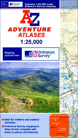
- Exmoor A-Z Adventure Atlas
- Exmoor at 1:25,000 in a series of handy A5 size Adventure Atlases from Geographers` A-Z Map Company with cartography from the Ordnance Survey’s Explorer series. Coverage includes the South West Coast path between Minehead and Combe Martin Bay, Two Moors Way, Tarka Train, Dulverton, Brendon Hills, etc.To see other titles in this series please... Lire la suite

Stanfords
United Kingdom
United Kingdom
- Minehead and Brendon Hills 1809
- Map No. 181, Minehead and Brendon Hills 1809, in the Cassini Historical Series of old Ordnance Survey mapping of England and Wales at 1:50,000 in a format designed to offer a convenient comparison with the present day coverage from the OS, and most locations in three different editions. Old historical maps have been combined so that the sheet... Lire la suite
Stanfords
United Kingdom
United Kingdom
- Minehead and Brendon Hills 1919
- Map No. 181, Minehead and Brendon Hills 1919, in the Cassini Historical Series of old Ordnance Survey mapping of England and Wales at 1:50,000 in a format designed to offer a convenient comparison with the present day coverage from the OS, and most locations in three different editions. Old historical maps have been combined so that the sheet... Lire la suite
Stanfords
United Kingdom
United Kingdom
- Barnstaple and Ilfracombe 1809
- Map No. 180, Barnstaple and Ilfracombe 1809, in the Cassini Historical Series of old Ordnance Survey mapping of England and Wales at 1:50,000 in a format designed to offer a convenient comparison with the present day coverage from the OS, and most locations in three different editions. Old historical maps have been combined so that the sheet... Lire la suite
Stanfords
United Kingdom
United Kingdom
- Minehead and Brendon Hills 1898-1900
- Map No. 181, Minehead and Brendon Hills 1898-1900, in the Cassini Historical Series of old Ordnance Survey mapping of England and Wales at 1:50,000 in a format designed to offer a convenient comparison with the present day coverage from the OS, and most locations in three different editions. Old historical maps have been combined so that the... Lire la suite
Stanfords
United Kingdom
United Kingdom
- Barnstaple and Ilfracombe 1919
- Map No. 180, Barnstaple and Ilfracombe 1919, in the Cassini Historical Series of old Ordnance Survey mapping of England and Wales at 1:50,000 in a format designed to offer a convenient comparison with the present day coverage from the OS, and most locations in three different editions. Old historical maps have been combined so that the sheet... Lire la suite

Stanfords
United Kingdom
United Kingdom
- Minehead and Brendon Hills 1809- 1919 (3-map set)
- Map No. 181, Minehead and Brendon Hills 1919, in the Cassini Historical Series of old Ordnance Survey mapping of England and Wales at 1:50,000 in a format designed to offer a convenient comparison with the present day coverage from the OS, and most locations in three different editions. Old historical maps have been combined so that the sheet... Lire la suite
Stanfords
United Kingdom
United Kingdom
- Barnstaple and Ilfracombe 1900
- Map No. 180, Barnstaple and Ilfracombe 1900, in the Cassini Historical Series of old Ordnance Survey mapping of England and Wales at 1:50,000 in a format designed to offer a convenient comparison with the present day coverage from the OS, and most locations in three different editions. Old historical maps have been combined so that the sheet... Lire la suite

Stanfords
United Kingdom
United Kingdom
- Two Moors Way Harvey National Trail XT40
- Two Moors Way, a 150km / 93 mile long-distance trail between Lynmouth on the north coast of Devon and Ivybridge near Plymouth, crossing Exmoor and Dartmoor National Parks, presented at 1:40,000 on a light, waterproof and tear-resistant map from Harvey Map Services. The route is shown on six panels.Maps in the Harvey’s series covering Great... Lire la suite
Stanfords
United Kingdom
United Kingdom
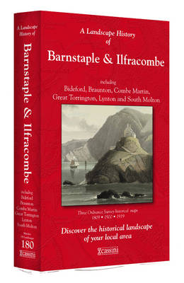
- Barnstaple and Ilfracombe 1809-1919 (3-map set)
- Map No. 180, Barnstaple and Ilfracombe 1809-1919 (3-map set), in the Cassini Historical Series of old Ordnance Survey mapping of England and Wales at 1:50,000 in a format designed to offer a convenient comparison with the present day coverage from the OS, and most locations in three different editions. Old historical maps have been combined so... Lire la suite

Stanfords
United Kingdom
United Kingdom
- Exmoor AA Walker`s Map 13
- Exmoor at 1:25,000 in a series of Walker’s Maps published by the AA with the cartography from the Ordnance Survey’s Explorer series. The map is double-sided and coverage includes the Exmoor National Park, Ilfracombe, Combe Martin, Lynton, Porlock, Minehead, Williton, Exford, Dulverton, Brayford, Barnstaple, etc.Maps in the AA Walker’s series... Lire la suite
- Also available from:
- The Book Depository, United Kingdom


Stanfords
United Kingdom
United Kingdom
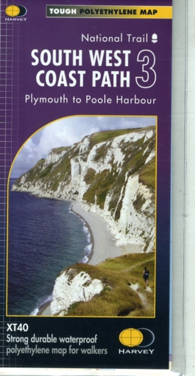
- South West Coast Path 3 - Plymouth to Poole Harbour Harvey National Trail XT40
- The third section of the South West Coast Path National Trail, from Plymouth to Poole Harbour along the southern coast Devon and the coast of Dorset, presented by Harvey Map Services at 1:40,000 on a light, waterproof and tear-resistant map, showing the path on 11 overlapping panels.In this new 2015 edition the whole route from Minehead to... Lire la suite
- Also available from:
- The Book Depository, United Kingdom
- Bol.com, Netherlands
- Bol.com, Belgium

Bol.com
Netherlands
Netherlands
- South West Coast Path 3 XT40
- The third section of the South West Coast Path National Trail, from Plymouth to Poole Harbour along the southern coast Devon and the coast of Dorset, presented by Harvey Map Services at 1:40,000 on a light, waterproof and tear-resistant map, showing the path on 11 overlapping panels.In this new 2015 edition the whole route from Minehead to... Lire la suite
Bol.com
Belgium
Belgium
- South West Coast Path 3 XT40
- The third section of the South West Coast Path National Trail, from Plymouth to Poole Harbour along the southern coast Devon and the coast of Dorset, presented by Harvey Map Services at 1:40,000 on a light, waterproof and tear-resistant map, showing the path on 11 overlapping panels.In this new 2015 edition the whole route from Minehead to... Lire la suite
Bol.com
Netherlands
Netherlands
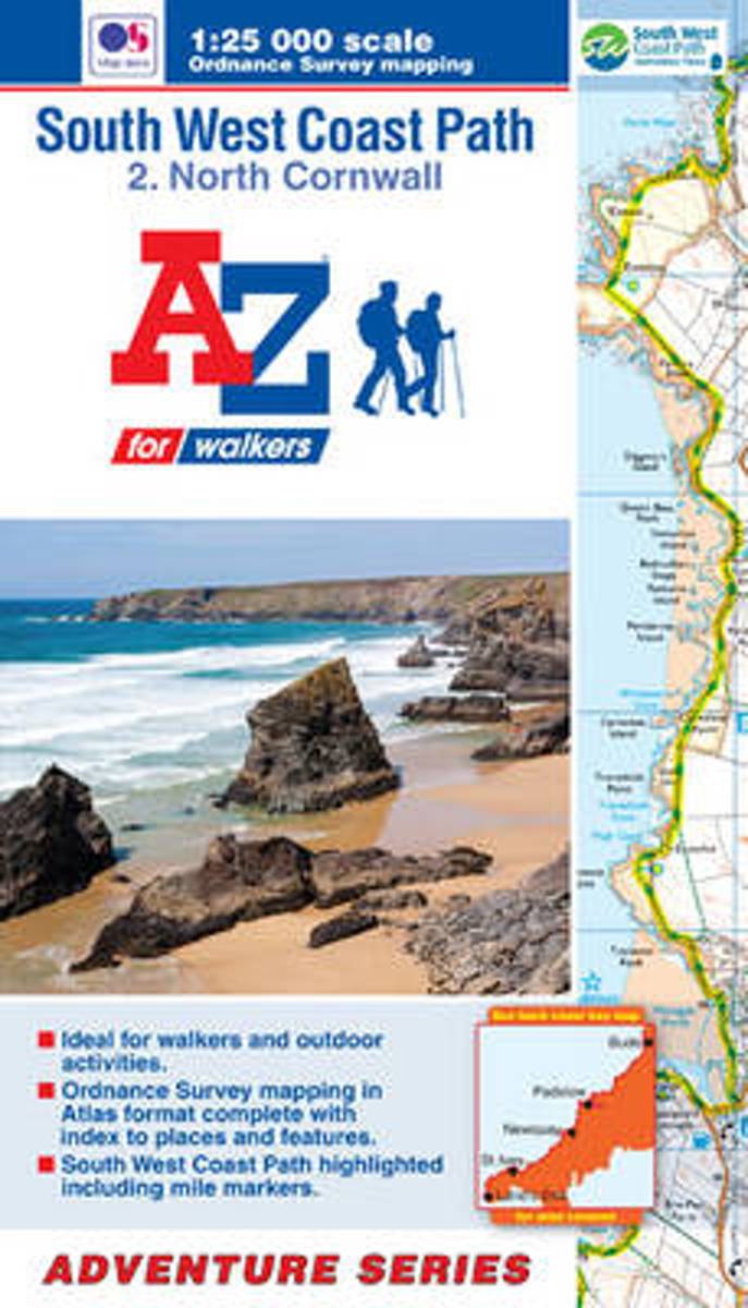
- SW Coast Path North Cornwall Adventure Atlas
- South West Coast Path 2 - North Cornwall Adventure Atlas at 1:25,000 in a series of handy A5 size Adventure Atlases from Geographers' A-Z Map Company with cartography from the Ordnance Survey Lire la suite
- Also available from:
- Bol.com, Belgium
Bol.com
Belgium
Belgium
- SW Coast Path North Cornwall Adventure Atlas
- South West Coast Path 2 - North Cornwall Adventure Atlas at 1:25,000 in a series of handy A5 size Adventure Atlases from Geographers' A-Z Map Company with cartography from the Ordnance Survey Lire la suite