Forest of Dean
Description
Region in southeast Wales. The name also refers to the very old and extensive forest in this region, composed of mixed woods. Offa's Dyke Path traverses the forest.
Sentiers de cette région
Liens
Données
Rapports
Guides et cartes
Hébergement
Organisations
Voyagistes
GPS
Autre
Livres

Stanfords
United Kingdom
United Kingdom
- Gossip from the Forest: The Tangled Roots of Our Forests and Fairytales
- Fairytales are one of our earliest and most vital cultural forms, and forests one of our most ancient and primal landscapes. Both evoke a similar sensation in us - we find them beautiful and magical, but also spooky, sometimes horrifying. In this fascinating book, Maitland argues that the two forms are intimately connected: the mysterious... Lire la suite

Stanfords
United Kingdom
United Kingdom
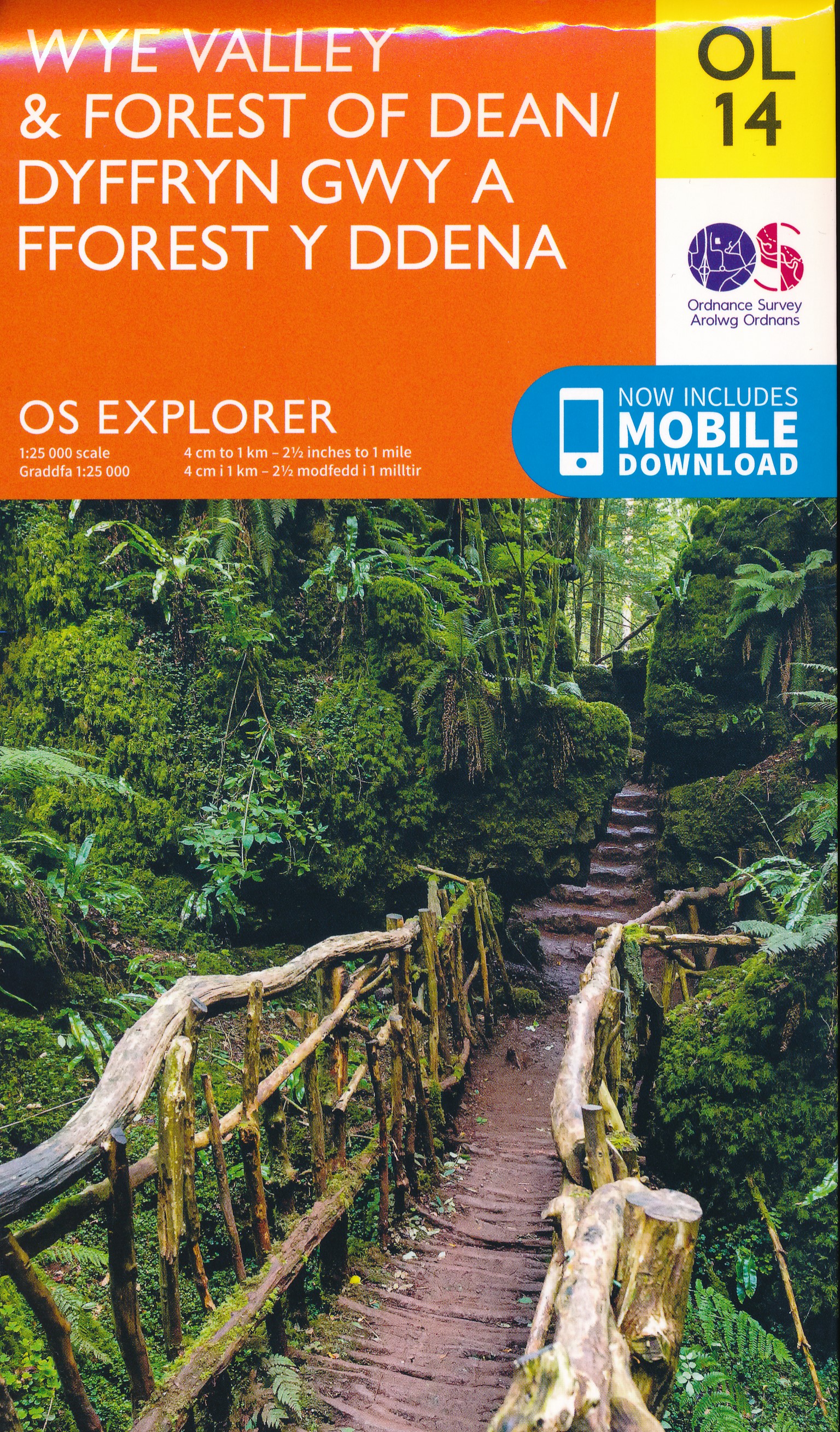
- Wye Valley & Forest of Dean OS Explorer Active Map OL14 (waterproof)
- The Wye Valley and the Forest of Dean on a detailed topographic and GPS compatible map OL14, waterproof version, from the Ordnance Survey’s 1:25,000 Explorer series. Coverage extends from Chepstow in the south to beyond Ross-on-Wye and includes Monmouth, the Wye Valley Area of Outstanding Natural Beauty, sections of the Offa’s Dyke National... Lire la suite


Stanfords
United Kingdom
2015
United Kingdom
2015
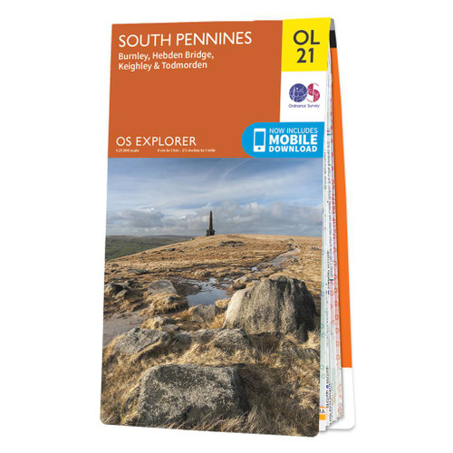
- South Pennines: Burnley, Hebden Bridge, Keighley & Todmorden OS Explorer Map OL21 (paper)
- The southern part of the Pennines on a detailed topographic and GPS compatible map OL21, paper version, from the Ordnance Survey’s 1:25,000 Explorer series. The map covers an area between Burney and Halifax, extending north to Skipton and Horton. Coverage includes Littleborough, Sowerby Bridge, Todmorden, Haworth, Nelson, Bernoldswick, the peak... Lire la suite
- Also available from:
- The Book Depository, United Kingdom
- De Zwerver, Netherlands


Stanfords
United Kingdom
2019
United Kingdom
2019
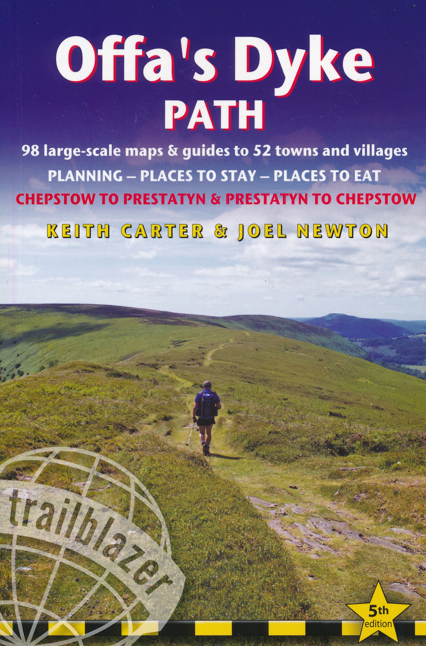
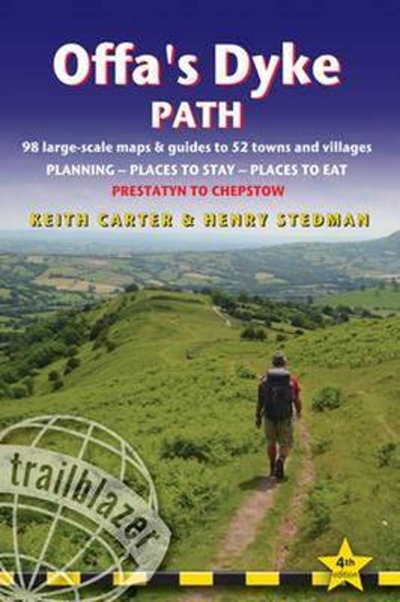
- Offa`s Dyke Path: Prestatyn To Chepstow
- The Offa`s Dyke Path is a magnificent National Trail that runs from the North Wales coast to the Severn Estuary following the line of Offa`s Dyke, an impressive 8th century earthwork along the English/Welsh border. The ever-changing landscape - the Wye Valley, the Black Mountains, the Shropshire Hills and the Clwydian Hills - is steeped in... Lire la suite
- Also available from:
- The Book Depository, United Kingdom
- De Zwerver, Netherlands

The Book Depository
United Kingdom
2019
United Kingdom
2019
- Offa's Dyke Path (Trailblazer British Walking Guides) 2019
- Chepstow To Prestatyn & Prestatyn To Chepstow, Planning, Places to Stay, Places to Eat, 98 large-scale maps & guides to 52 towns and villages (Trailblazer British Walking Guides) Lire la suite
De Zwerver
Netherlands
2019
Netherlands
2019
- Wandelgids Offa's Dyke Path | Trailblazer Guides
- The Offa`s Dyke Path is a magnificent National Trail that runs from the North Wales coast to the Severn Estuary following the line of Offa`s Dyke, an impressive 8th century earthwork along the English/Welsh border. The ever-changing landscape - the Wye Valley, the Black Mountains, the Shropshire Hills and the Clwydian Hills - is steeped in... Lire la suite

Stanfords
United Kingdom
United Kingdom
- South Pennines: Burnley, Hebden Bridge, Keighley & Todmorden OS Explorer Active Map OL21 (waterproof)
- The southern part of the Pennines on a detailed topographic and GPS compatible map OL21, waterproof version, from the Ordnance Survey’s 1:25,000 Explorer series. The map covers an area between Burney and Halifax, extending north to Skipton and Horton. Coverage includes Littleborough, Sowerby Bridge, Todmorden, Haworth, Nelson, Bernoldswick, the... Lire la suite
- Also available from:
- The Book Depository, United Kingdom

The Book Depository
United Kingdom
United Kingdom

- Also available from:
- De Zwerver, Netherlands

Stanfords
United Kingdom
United Kingdom
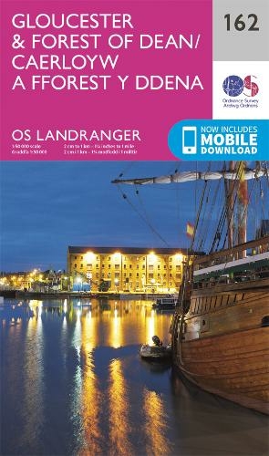
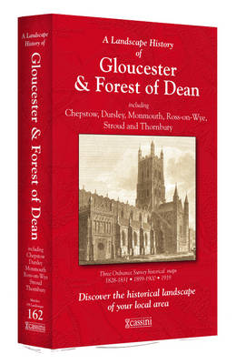
- Gloucester & Forest of Dean OS Landranger Active Map 162 (waterproof)
- Gloucester and the Forest of Dean area, including a part of the Cotswold Way and the southernmost section of the Offa’s Dyke Path, on a waterproof and tear-resistant OS Active version of map No. 162 from the Ordnance Survey’s Landranger series at 1:50,000, with contoured and GPS compatible topographic mapping plus tourist information.MOBILE... Lire la suite
- Also available from:
- The Book Depository, United Kingdom


Stanfords
United Kingdom
United Kingdom
- Herefordshire and Wye Valley - Short Walks
- Herefordshire is renowned for its hop-yards and cider-apple orchards, threaded by peaceful footpaths, lanes and byroads amidst rich pastures and wooded limestone ridges grazed by the famous terracotta-coloured cattle. But the county also has a wild side; the huge sandstone wall of the Black Mountains rises in the west, the Forest of Dean and... Lire la suite
- Also available from:
- The Book Depository, United Kingdom


Stanfords
United Kingdom
United Kingdom
- Atkinsons Walks V1 - Southern England
- ”ATCHISON`s Complete Hills of Britain Series” is a comprehensive guidebook series in 10 volumes. Each book divides a region of Britain into 50 separate walking areas, each with a major impressive hill to walk around - or ascend. It illustrates 3 superb walks for each area; a 2hr easy walk, a 3-4 hrs keep fit walk, and a challenging 5-7 hour... Lire la suite
- Also available from:
- The Book Depository, United Kingdom

The Book Depository
United Kingdom
United Kingdom
- Atchison's Walks: The Complete Hills of Britain
- ATCHISON's Complete Hills of Britain Series is a comprehensive guidebook series in 10 volumes. Each book divides a region of Britain into 50 separate walking areas, each with a major impressive hill to walk around - or ascend. It illustrates 3 superb walks for each area; a 2hr easy walk, a 3-4 hrs keep fit walk, and a challenging 5-7 hour walk... Lire la suite

Stanfords
United Kingdom
2009
United Kingdom
2009
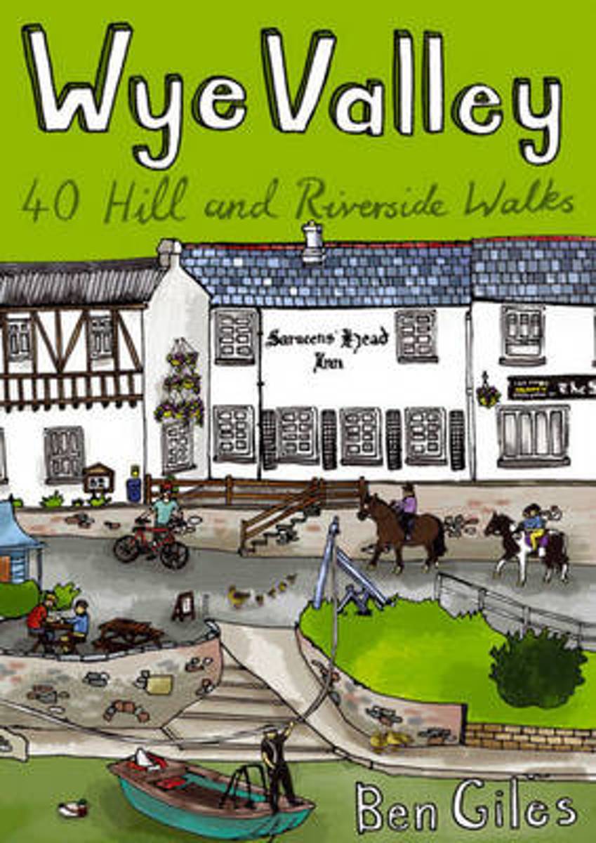
- Wye Valley (Walks)
- From the broad riverside meadows of the Herefordshire plain and the soaring limestone cliffs of the lower gorge near Chepstow to the industrial heritage of the Forest of Dean in the east and the far-reaching views of the Trellech plateau in the west, Ben Giles` 40 circular routes offer a refreshing introduction to the picturesque landscape of... Lire la suite
- Also available from:
- Bol.com, Netherlands
- Bol.com, Belgium
- De Zwerver, Netherlands
Bol.com
Netherlands
2009
Netherlands
2009
- Wye Valley
- From the broad riverside meadows of the Herefordshire plain and the soaring limestone cliffs of the lower gorge near Chepstow to the industrial heritage of the Forest of Dean in the east and the far-reaching views of the Trellech plateau in the west, Ben Giles' 40 circular routes offer a refreshing introduction to the picturesque landscape of... Lire la suite
Bol.com
Belgium
2009
Belgium
2009
- Wye Valley
- From the broad riverside meadows of the Herefordshire plain and the soaring limestone cliffs of the lower gorge near Chepstow to the industrial heritage of the Forest of Dean in the east and the far-reaching views of the Trellech plateau in the west, Ben Giles' 40 circular routes offer a refreshing introduction to the picturesque landscape of... Lire la suite

De Zwerver
Netherlands
2009
Netherlands
2009
- Wandelgids Wye Valley | Pocket Mountains
- From the broad riverside meadows of the Herefordshire plain and the soaring limestone cliffs of the lower gorge near Chepstow to the industrial heritage of the Forest of Dean in the east and the far-reaching views of the Trellech plateau in the west, Ben Giles' 40 circular routes offer a refreshing introduction to the picturesque landscape of... Lire la suite
Bol.com
Netherlands
2015
Netherlands
2015
- Offa's Dyke Path
- The Offa's Dyke Path is a magnificent National Trail that runs from the North Wales coast to the Severn Estuary following the line of Offa's Dyke, an impressive 8th century earthwork along the English/Welsh border. The ever-changing landscape - the Wye Valley, the Black Mountains, the Shropshire Hills and the Clwydian Hills - is steeped in... Lire la suite
- Also available from:
- Bol.com, Belgium
Bol.com
Belgium
2015
Belgium
2015
- Offa's Dyke Path
- The Offa's Dyke Path is a magnificent National Trail that runs from the North Wales coast to the Severn Estuary following the line of Offa's Dyke, an impressive 8th century earthwork along the English/Welsh border. The ever-changing landscape - the Wye Valley, the Black Mountains, the Shropshire Hills and the Clwydian Hills - is steeped in... Lire la suite
Bol.com
Netherlands
Netherlands
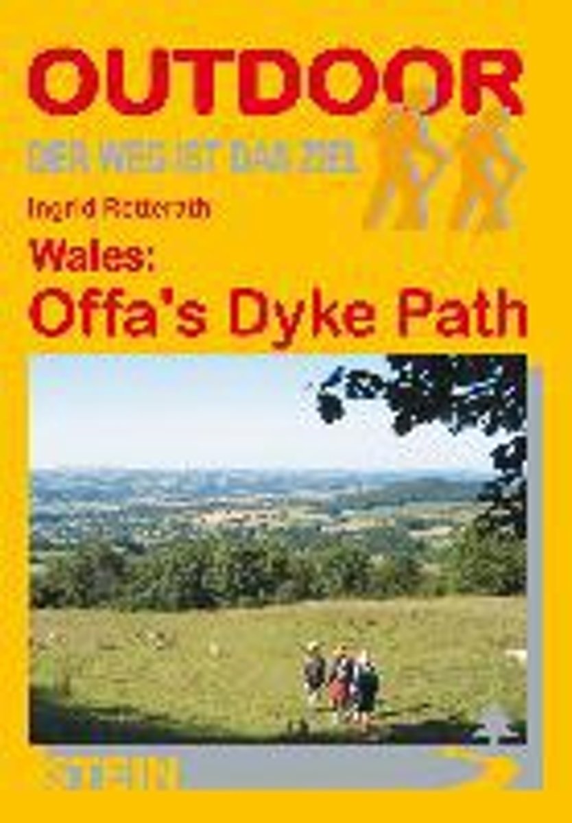
- Wales: Offa's Dyke Path
- Der Offa's Dyke Path ist einer der schönsten Long Distance Walks in Großbritannien und hat sich deshalb in den letzten Jahren auch zu einem der beliebtesten gemausert. Vom Bristol Channel im Süden zieht er sich an der Grenze zwischen England und Wales entlang bis zur Irischen See im Norden. Im Unterschied zu anderen Fernwanderwegen orientiert... Lire la suite
- Also available from:
- Bol.com, Belgium
Bol.com
Belgium
Belgium
- Wales: Offa's Dyke Path
- Der Offa's Dyke Path ist einer der schönsten Long Distance Walks in Großbritannien und hat sich deshalb in den letzten Jahren auch zu einem der beliebtesten gemausert. Vom Bristol Channel im Süden zieht er sich an der Grenze zwischen England und Wales entlang bis zur Irischen See im Norden. Im Unterschied zu anderen Fernwanderwegen orientiert... Lire la suite
Cartes

Stanfords
United Kingdom
United Kingdom
- Yorkshire Dales West
- The western part of the Yorkshire Dales on a waterproof and tear-resistant, contoured and GPS compatible map at 1:40,000 from Harvey Map Services showing local right of way paths, long-distance hiking routes, off road cycling routes, etc.Topography is shown by contours at 15m intervals, with spot heights plus colouring and graphics to show... Lire la suite

Stanfords
United Kingdom
United Kingdom
- Cotswold Cycling Country Lanes & Traffic-Free Family Routes
- Explore the Cotswolds by bike with this laminated, waterproof Cotswolds map. With 28 circular, clearly-marked routes this easy-to-use map will help you discover the best of the Cotswolds along the quietest country lanes.The Cotswolds are ideal for the touring cyclist and day-tripper. They represent England at her very best. Long, winding lanes... Lire la suite

Stanfords
United Kingdom
United Kingdom
- Gloucester and the Forest of Dean 1824-1831
- Map No. 162, Gloucester and the Forest of Dean 1824-1831, in the Cassini Historical Series of old Ordnance Survey mapping of England and Wales at 1:50,000 in a format designed to offer a convenient comparison with the present day coverage from the OS, and most locations in three different editions. Old historical maps have been combined so that... Lire la suite
Stanfords
United Kingdom
United Kingdom
- Gloucester and the Forest of Dean 1919
- Map No. 162, Gloucester and the Forest of Dean 1919, in the Cassini Historical Series of old Ordnance Survey mapping of England and Wales at 1:50,000 in a format designed to offer a convenient comparison with the present day coverage from the OS, and most locations in three different editions. Old historical maps have been combined so that the... Lire la suite
Stanfords
United Kingdom
United Kingdom
- Gloucester and the Forest of Dean 1899-1900
- Map No. 162, Gloucester and the Forest of Dean 1899-1900, in the Cassini Historical Series of old Ordnance Survey mapping of England and Wales at 1:50,000 in a format designed to offer a convenient comparison with the present day coverage from the OS, and most locations in three different editions. Old historical maps have been combined so that... Lire la suite
Stanfords
United Kingdom
United Kingdom
- Gloucester and the Forest of Dean 1818-1919 (3-map set)
- Map No. 162, Gloucester and the Forest of Dean 1818-1919 (3-map set), in the Cassini Historical Series of old Ordnance Survey mapping of England and Wales at 1:50,000 in a format designed to offer a convenient comparison with the present day coverage from the OS, and most locations in three different editions. Old historical maps have been... Lire la suite

- Also available from:
- De Zwerver, Netherlands


Bol.com
Netherlands
Netherlands
- Offa's Dyke Path South
- Wandelkaart van het Zuidelijk deel van Offa's Dyke Path met uitsnedes van de route. Offa's Dyke Path is a National Trail. It runs along the border between Wales and England. Offa was a famous king of Mercia from 757 to 796, ruling an area stretching across a large part of England. Offa's Dyke Path runs from sea to sea - the Severn... Lire la suite
- Also available from:
- Bol.com, Belgium
Bol.com
Belgium
Belgium
- Offa's Dyke Path South
- Wandelkaart van het Zuidelijk deel van Offa's Dyke Path met uitsnedes van de route. Offa's Dyke Path is a National Trail. It runs along the border between Wales and England. Offa was a famous king of Mercia from 757 to 796, ruling an area stretching across a large part of England. Offa's Dyke Path runs from sea to sea - the Severn... Lire la suite
Plus de cartes …