East Coast Trail
Description
- Name East Coast Trail (ECT)
- Distance de sentier 540 km, 336 milles
- Durée en jours 27 jours
- Début de sentier Flatrock
- Fin de sentier Cappahayden
- Classement Traildino MW, Marche modérée, sentier de randonnée
- Classement Traversée de montagne T1, Randonnée
Flatrock – Cappahayden, 540 kilometres (340 miles), 27 days (when completed)
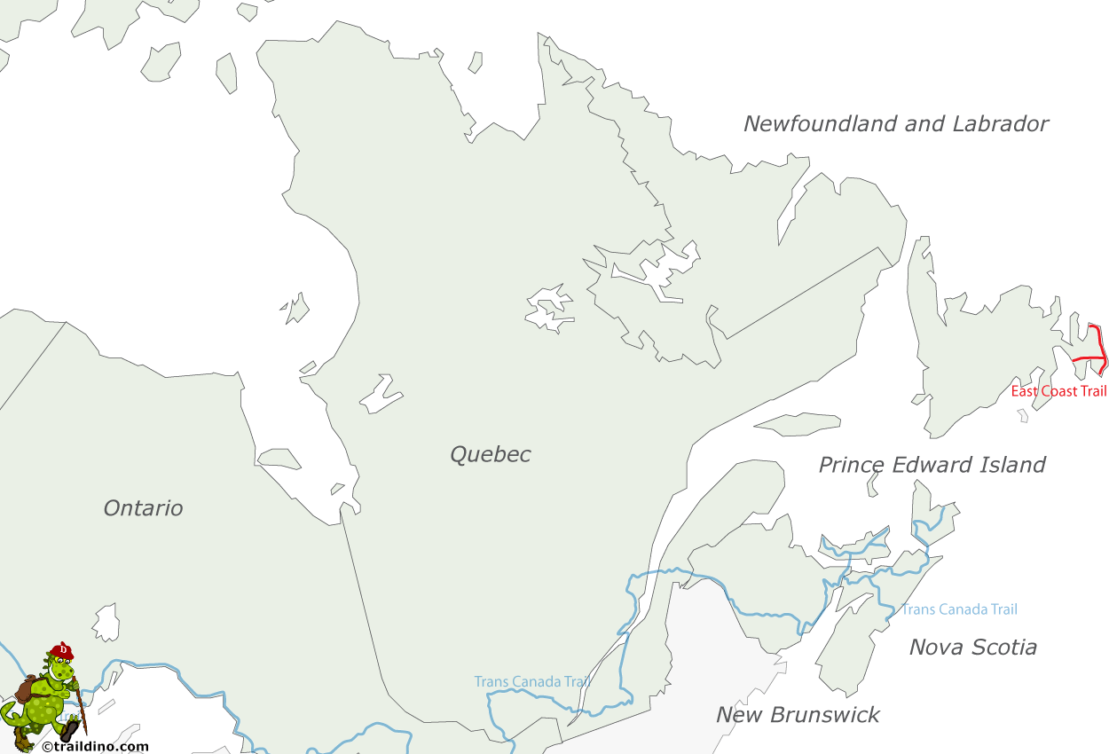
The East Coast Trail follows the coastline of the Avalon Peninsula of Newfoundland, along the Atlantic Ocean. This coastal walk links the many small coastal towns together. They are 32 in all, nestled in the bays of the Avalon Peninsula between St. John's and Cappahayden. Some 120 km of the East Coast Trail is an inland wilderness trail, between Topsail Beach and Placentia.
The quiet and unspoilt area is very scenic. Walking on the trail you are surrounded by nature and wildlife.
In some places the coastal cliffs are pretty steep. Occasionally it is necessary to scramble a bit. But otherwise the path is easy. Overnight stays are possible in the small towns (B&B), and on camping grounds constructed for the walkers.
Part of the trail is marked and indicated on the map. About half is still "under construction": the path is there, but not marked nor described.
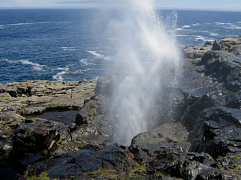
Main attractions are the Spout, a natural geyser by wave action, the Barachois coastal formations, and a suspension bridge near the abandoned community of La Manche. The route also runs through Cape Spear, Canada's easternmost point.
Carte
Liens
Données
Rapports
Guides et cartes
Hébergement
Organisations
Voyagistes
GPS
Autre
Livres
- Also available from:
- Bol.com, Netherlands
- Bol.com, Belgium

Netherlands
- Hikes of Eastern Newfoundland
- From the 265-km award-winning East Coast Trail on the Avalon Peninsula to the Spurwink Trail along the cliffs near Trinity, or the Squid Jigger Trail on Change Islands, this is a must-have guide to the must-do walks and hikes of eastern Newfoundland. Suitable for hikers of all levels, this book offers an overview of 86 trails, including each... Lire la suite

Belgium
- Hikes of Eastern Newfoundland
- From the 265-km award-winning East Coast Trail on the Avalon Peninsula to the Spurwink Trail along the cliffs near Trinity, or the Squid Jigger Trail on Change Islands, this is a must-have guide to the must-do walks and hikes of eastern Newfoundland. Suitable for hikers of all levels, this book offers an overview of 86 trails, including each... Lire la suite


