
Metacomet Monadnock Trail
Description
- Name Metacomet Monadnock Trail (M-MT)
- Distance de sentier 183 km, 114 milles
- Durée en jours 9 jours
- Début de sentier Connecticut border
- Fin de sentier Mount Monadnock
- Classement Traildino MW, Marche modérée, sentier de randonnée
- Classement Traversée de montagne T1, Randonnée
 The Metacomet-Monadnock Trail or Massachusetts Trail runs from the Connecticut border to Mount Monadnock (3165 feet, 965 m high) in New Hampshire. It traverses the Metacomet ridge. The length is 114 miles (183 km). Mainly easy hiking in this glacier shaped environment.
Select some tracks
☐Metacomet - Monadnock Trail, 165km
Carte


Liens
Données
Rapports
Guides et cartes
Hébergement
Organisations
Voyagistes
GPS
Autre
Livres
The Book Depository
United Kingdom
United Kingdom
- Massachusetts Trail Map
- Mt. Greylock, Southwestern Massachusetts, Mt. Tom Reservation, and Skinner State Park and Mt. Holyoke Range Lire la suite
Bol.com
Netherlands
Netherlands
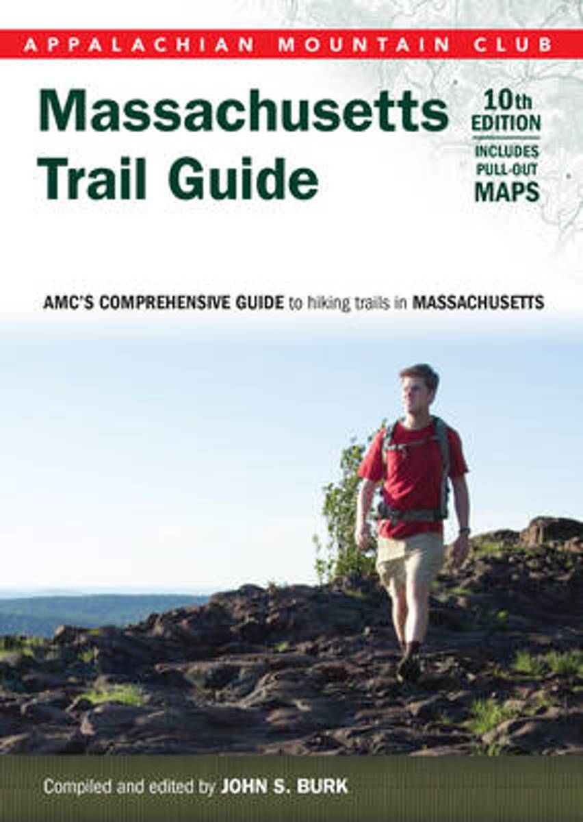
- Massachusetts Trail Guide
- This tenth edition of the Appalachian Mountain Club s trusted trail guide revisits beloved trails across the Bay State, from the Appalachian Trail in the Berkshires to Cape Cod s Warner Trail. In print for more than 50 years, this comprehensive collection will help readers navigate more than 390 trails including 30 new to this edition and newly... Lire la suite
- Also available from:
- Bol.com, Belgium
Bol.com
Belgium
Belgium
- Massachusetts Trail Guide
- This tenth edition of the Appalachian Mountain Club s trusted trail guide revisits beloved trails across the Bay State, from the Appalachian Trail in the Berkshires to Cape Cod s Warner Trail. In print for more than 50 years, this comprehensive collection will help readers navigate more than 390 trails including 30 new to this edition and newly... Lire la suite