
Belgique
Description
 This small kingdom has some surprisingly lovely landscapes. The Wallonian Ardennes region in the southeast is most famous among hikers, with its densely wooded river valleys and farm lands higher up on the undulating plateaus. In the northeast are the mysterious Hautes Fagnes, an upland plain of peat moors, partly in the Ardennes and partly in the Eifel region, and now a nature reserve that offers stunning beauty in all seasons. The north and west of Belgium, known as Flanders, is mostly low flat countryside, but nonetheless traversed by a myriad of long distance hiking trails, some of which lead through historic towns like Bruges and Ghent.
The majority of Belgian long distance hiking trails are known as GR's, a conveniently bi-lingual abbreviation of Grande Randonnees (French) or Grote Routepaden (Dutch). European long distance trails E2, E3 and E9 all lead through Belgium, and coincide with GR's.
Along the GR's, small hotels, B&B's and camping sites can be found in almost every village or town. Walking Belgium is a fun experience, frequently taking you back in time to what appears to be some older version of Europe. The often somewhat ramshackle towns, quaint shops and cafe's, old-fashioned politeness, excellent food and beer, there is simply no hurry to modernize, just live for the moment.
Carte


Sentiers
- DijlelandGPX
- E2GPX
- E3GPX
- E9GPX
- GB - Gaume Buissonière
- GR12 - Amsterdam - ParisGPX
- GR121 - Wavre - BoulogneGPX
- GR122 - ScheldelandGPX
- GR123 - Tour du Hainaut occidentalGPX
- GR125 - Tour de l'Entre-Sambre-et-MeuseGPX
- GR126 - Brussel-Namen-Membre sur SamoisGPX
- GR128 - VlaanderenrouteGPX
- GR129 - Dwars door BelgiëGPX
- GR130 - IJzerGPX
- GR131 - Kreken - IeperboogGPX
- GR14 - Sentier de l'ArdenneGPX
- GR15 - AE - Ardennes-EifelGPX
- GR16 - Sentier de la SemoisGPX
- GR412 - Sentier des TerrilsGPX
- GR5GPX
- GR512 - Vlaams BrabantGPX
- GR56 - Hautes Fagnes - EifelGPX
- GR561 - Kempen-MaaspadGPX
- GR563 - Tour du Pays de HerveGPX
- GR564 - Kempen - CondrozGPX
- GR565 - Renier SniederspadGPX
- GR57 - Vallée de l'OurtheGPX
- GR570 - Pays des Trois FrontièresGPX
- GR571 - Vallées des LégendesGPX
- GR573 - Hautes FagnesGPX
- GR575 - Tour du Condroz NamuroisGPX
- GR576 - Tour du Condroz LiégeoisGPX
- GR577 - Tour de la FamenneGPX
- GR579 - Brussels - LiègeGPX
- GR5a - Wandelronde van VlaanderenGPX
- GrenslandpadGPX
- Groene GordelGPX
- HagelandGPX
- HeuvellandGPX
- KempenGPX
- Kempen-BroekGPX
- Mol OmGPX
- ReynaertlandGPX
- Rhine-Meuse Trail
- Santiago de Compostela Pilgrims WayGPX
- Tour de la Vesdre
- Tour du Brabant WallonGPX
- Transardense Route
- UilenspiegelpadGPX
- Via ArduinnaGPX
- Via BrabanticaGPX
- Via BrugensisGPX
- Via Gallia BelgicaGPX
- Via LimburgicaGPX
- Via MonasticaGPX
- Via MosanaGPX
- Via Scaldea
- Via Thiérache
- Vlaamse ArdennenGPX
Régions
Etats


Liens
Données
Rapports
Guides et cartes
Hébergement
Organisations
Voyagistes
GPS
Autre
Livres

United Kingdom
- Insight Guides Explore Bruges (Travel Guide with Free eBook) 01/05/20
- Insight Guides Explore BrugesTravel made easy. Ask local experts. Focused travel guide featuring the very best routes and itineraries, now with free eBook.Discover the best of Bruges with this unique travel guide, packed full of insider information and stunning images. From making sure you don`t miss out on must-see, top attractions like De... Lire la suite

Netherlands
2016
- time to momo - Brugge
- Dit is de vernieuwde versie van de 100% Brugge-gids! Jij gaat Brugge ontdekken! Hoewel Brugge een kleine stad is, is er meer dan genoeg te beleven. De binnenstad is een verzameling van sfeervolle pleinen, oude straten en prachtige gevels. Geniet van een Brugse Zot op een terrasje langs het water, beklim het Belfort en maak een boottochtje op de... Lire la suite
- Also available from:
- Bol.com, Belgium
Belgium
2016
- time to momo - Brugge
- Dit is de vernieuwde versie van de 100% Brugge-gids! Jij gaat Brugge ontdekken! Hoewel Brugge een kleine stad is, is er meer dan genoeg te beleven. De binnenstad is een verzameling van sfeervolle pleinen, oude straten en prachtige gevels. Geniet van een Brugse Zot op een terrasje langs het water, beklim het Belfort en maak een boottochtje op de... Lire la suite
Netherlands
- Übersetzung
- Die Konstanten und Veränderungen in Tätigkeit und Selbstverständnis von Übersetzern und Philologen stehen im Zentrum dieses Bands. Es diskutierten Vertreter der Übersetzungswissenschaft, der mittellateinischen, romanischen und germanistischen Sprach- bzw. Literaturwissenschaft. Die Themen reichen von der Übersetzungsleistung der ersten Glossen... Lire la suite
- Also available from:
- Bol.com, Belgium
Belgium
- Übersetzung
- Die Konstanten und Veränderungen in Tätigkeit und Selbstverständnis von Übersetzern und Philologen stehen im Zentrum dieses Bands. Es diskutierten Vertreter der Übersetzungswissenschaft, der mittellateinischen, romanischen und germanistischen Sprach- bzw. Literaturwissenschaft. Die Themen reichen von der Übersetzungsleistung der ersten Glossen... Lire la suite
Netherlands
2023
Netherlands
2013
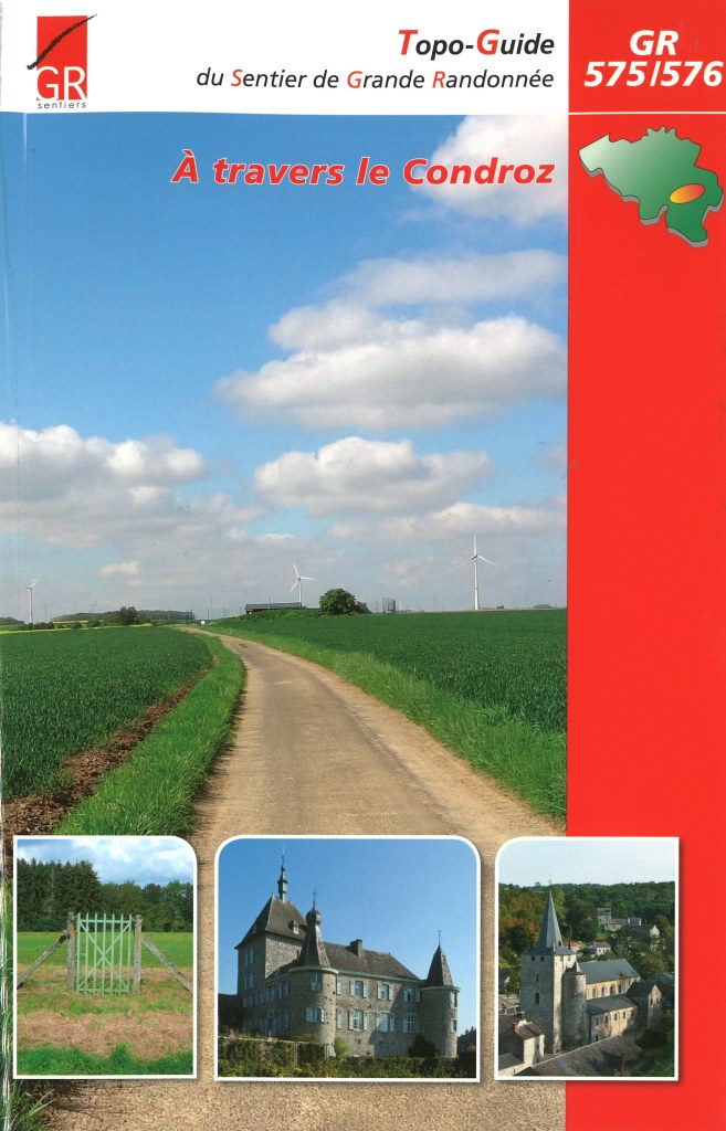
- Wandelgids A Travers le Condroz GR 575- GR 576 | GR Sentiers
- De 2 GR's, GR 575 Naamse Condroz en GR 576 Luikse Condroz, bestonden al langer, maar werden helemaal vernieuwd en samengevoegd in één gids. Het traject is 300 km lang. De route brengt je langs vele mooie dorpen met een steeds afwisselend landschap. Voorzien van veel praktische informatie en uitstekende topografische kaarten. Lire la suite
Netherlands
2012
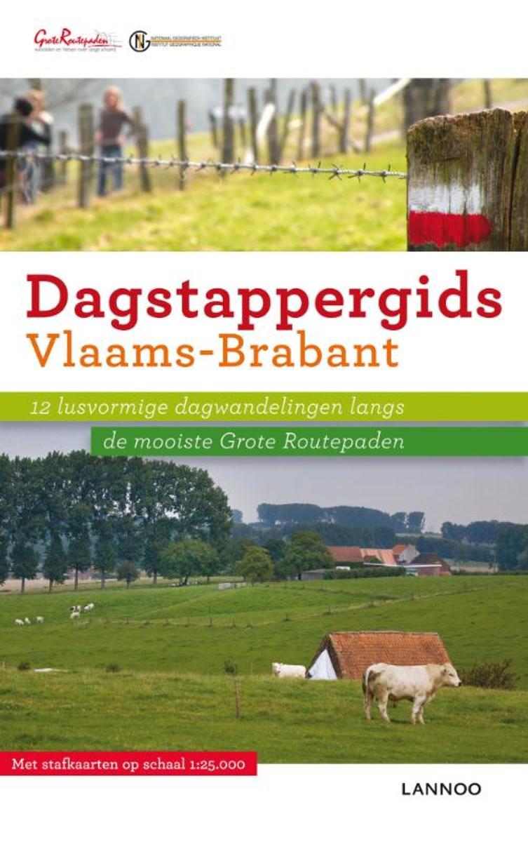
- Dagstappergids Vlaams Brabant
- Wie graag wandelt heeft op zijn tocht ongetwijfeld al eens de rood-witte bewegwijzering van de Grote-Routepaden opgemerkt. De organisatie GROTE ROUTEPADEN VLAANDEREN beheert en bewegwijzert in Vlaanderen 3000 km wandelpaden en 1200 km fietsroutes. De Vlaamse GR-paden zijn op uniforme wijze aangeduid met de bekende wit-rode of wit-gele strepen.... Lire la suite
- Also available from:
- Bol.com, Belgium
Belgium
2012
- Dagstappergids Vlaams Brabant
- Wie graag wandelt heeft op zijn tocht ongetwijfeld al eens de rood-witte bewegwijzering van de Grote-Routepaden opgemerkt. De organisatie GROTE ROUTEPADEN VLAANDEREN beheert en bewegwijzert in Vlaanderen 3000 km wandelpaden en 1200 km fietsroutes. De Vlaamse GR-paden zijn op uniforme wijze aangeduid met de bekende wit-rode of wit-gele strepen.... Lire la suite
Netherlands
2015
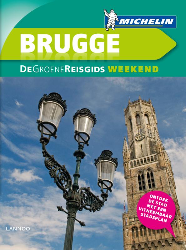
- Reisgids Michelin groene gids weekend Brugge | Lannoo
- Voor wie slechts één compacte stadsgids in zijn tas wil stoppen en toch geen enkele bezienswaardigheid of topadres wil missen. Dé gids om de stad écht te ontdekken: de plaatsen waar u de stad in zijn authenticiteit proeft, de evenementen van het ogenblik, de heerlijkste shoppingadressen... En daarbovenop, een handige kaart van het openbaar... Lire la suite
Netherlands
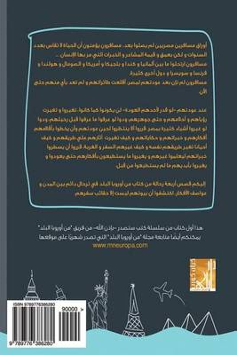
- MN Europa El Balad
- These are notes written by Egyptian travelers; travelers who have not reached their destinations yet These travelers believe that life is not measured by the number of years you live, but by the depth and value of the feelings and experiences that people go through. These travelers trotted through Germany, Canada, Belgium, America, Somalia,... Lire la suite
- Also available from:
- Bol.com, Belgium
Belgium
- MN Europa El Balad
- These are notes written by Egyptian travelers; travelers who have not reached their destinations yet These travelers believe that life is not measured by the number of years you live, but by the depth and value of the feelings and experiences that people go through. These travelers trotted through Germany, Canada, Belgium, America, Somalia,... Lire la suite
Netherlands
2019
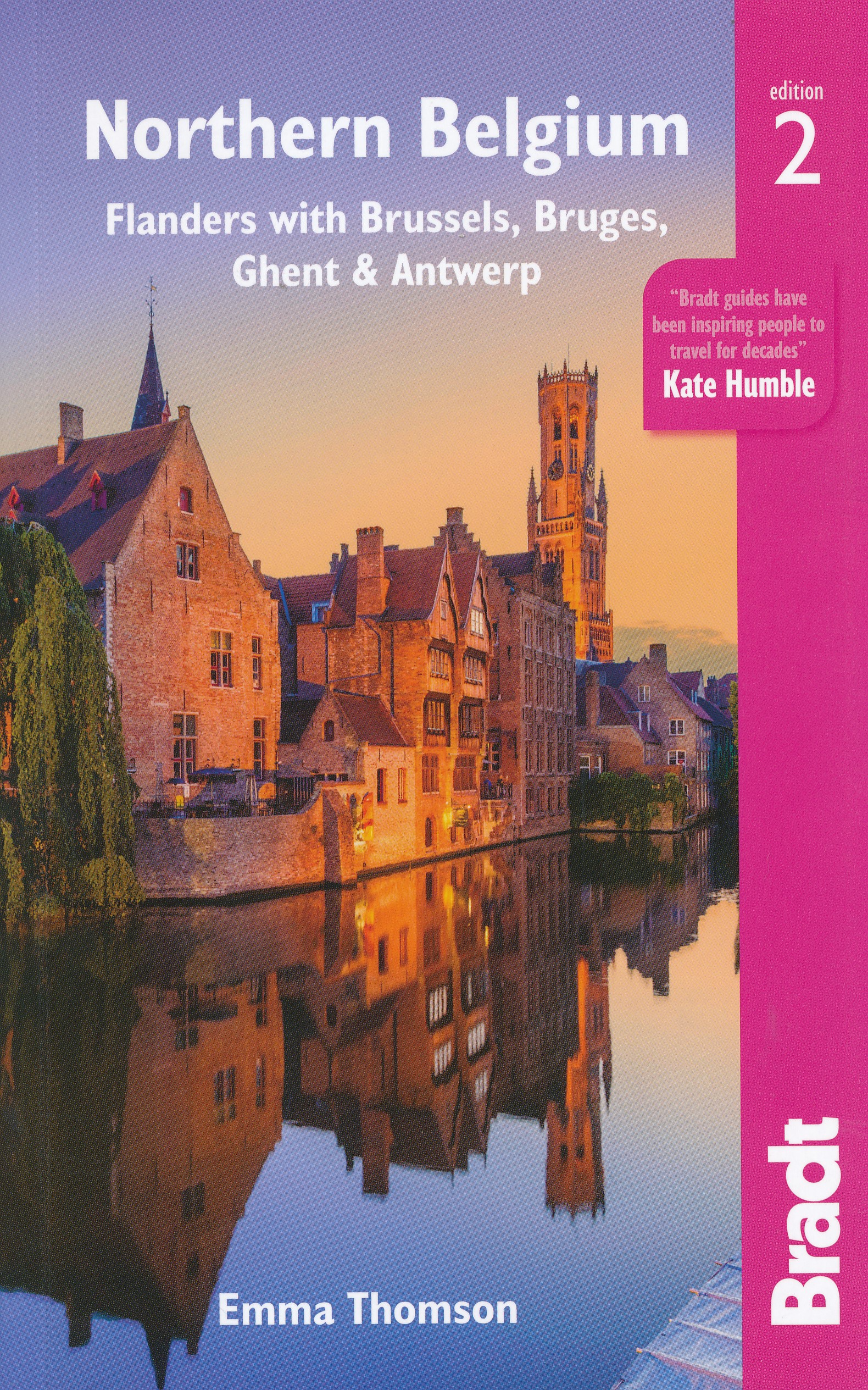
- Reisgids Travel guides Northern Belgium | Bradt Travel Guides
- Northern Belgium ab 17.49 EURO Flanders with Brussels, Bruges, Ghent and Antwerp The Bradt Travel Guide. 2nd Revised edition Lire la suite
Netherlands
2021
Netherlands
2015
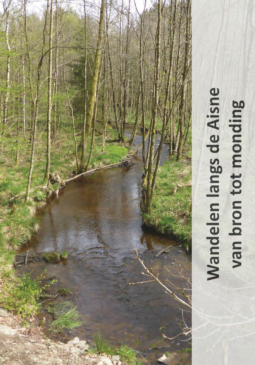
- Wandelgids Wandelen langs de Aisne van bron tot monding | Jan Veltkamp
- De wandelgids Wandelen langs de Aisne, in de Belgische Ardennen, van bron tot monding. De volledige route van de bron (Odeigne) tot de monding (Bomal) wordt beschreven. De gids, geniet, omvat 40 pagina’s en is rijk geïllustreerd. Ook maken routekaartjes, op originele topografische kaarten, deel uit van de gids. De gids is in het Nederlands. Het... Lire la suite
Netherlands
2016
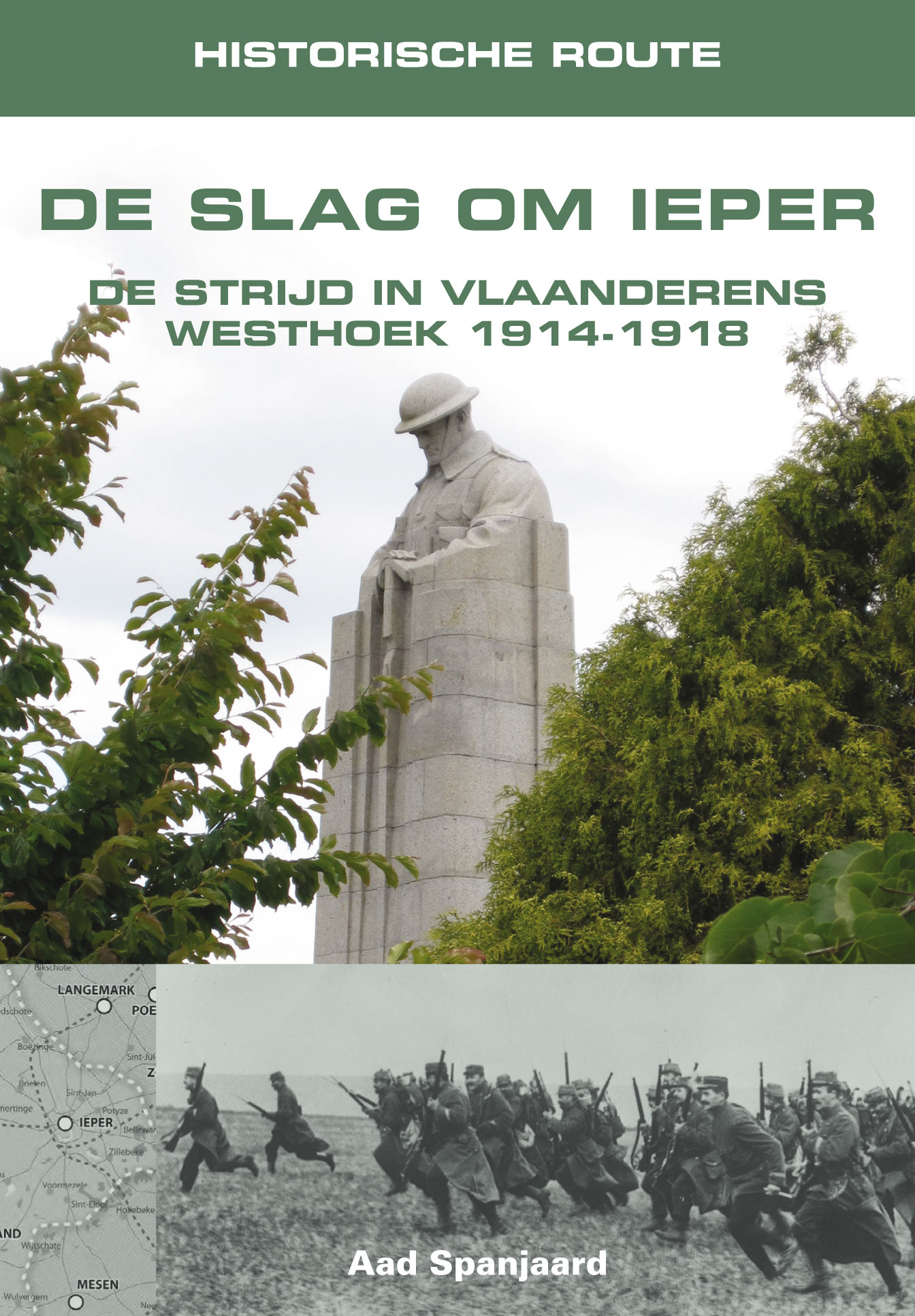
- Reisgids Historische Route De Slag om Ieper | Uitgeverij Elmar
- Bij een bezoek aan de voormalige slagvelden van de Westhoek en vooral in de omgeving van Ieper is de waan van deze oorlog nog steeds beklemmend aanwezig. Het is nauwelijks te bevatten welke gruwelen de jonge mannen van beide strijdende partijen moesten ondergaan op het slagveld, rondkruipend in de modder en de drek onder bijna voortdurende... Lire la suite
Netherlands
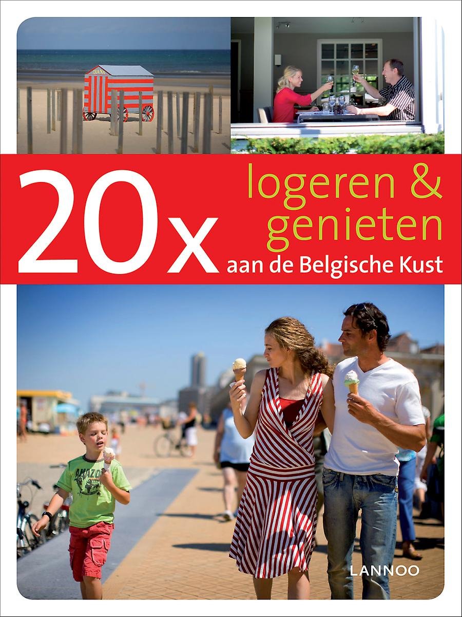
- 20 x logeren & genieten aan de belgische kust
- Een originele kijk op een bekende dichtbij-bestemming. Met tientallen gevarieerde tips die je meteen zin geven om elk weekend naar de Belgische Kust te trekken.;;;Van De Panne tot Knokke en terug. 10 boeiende kustgemeentes, met elk een eigen identiteit, waar op elk moment van het jaar wat te beleven valt voor jong en oud. Sophie Allegaert... Lire la suite
- Also available from:
- Bol.com, Belgium
Belgium
- 20 x logeren & genieten aan de belgische kust
- Een originele kijk op een bekende dichtbij-bestemming. Met tientallen gevarieerde tips die je meteen zin geven om elk weekend naar de Belgische Kust te trekken.;;;Van De Panne tot Knokke en terug. 10 boeiende kustgemeentes, met elk een eigen identiteit, waar op elk moment van het jaar wat te beleven valt voor jong en oud. Sophie Allegaert... Lire la suite
Cartes

United Kingdom
- Eupen Mini-Ardenne
- Ardennes Recreational Maps at a scale of 1:25,000 enable you to discover the Ardennes from junction to junction, each associated with a locality, through a network of hiking, cycling or riding paths. The network of mini walks consists of suggested routes with kilometre distance marked showing field boundaries and urbanised built up areas.... Lire la suite

United Kingdom
- Wavre NGI Topo 40
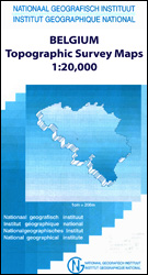
- Topographical survey of Belgium at 1:50,000 from the country’s national survey organization, Nationaal Geografisch Instituut / Institut Géographique National. Contour interval varies according to the terrain, from 2.5 metres in the coastal areas to 10 metres in the Ardennes. The maps provide all the information expected of topographic mapping... Lire la suite

United Kingdom
- Dalhem - Herve
- Topographical survey of Belgium at 1:20,000 from Nationaal Geografisch Instituut / Institut Géographique National, the country’s national survey organization. Each 20K map covers one quarter of the corresponding 1:50,000 map (with adjustments in the border and coastal areas). The maps provide all the information expected of topographic mapping... Lire la suite

United Kingdom
- Tongres NGI Topographic Map 34
- Topographical survey of Belgium at 1:50,000 from the country’s national survey organization, Nationaal Geografisch Instituut / Institut Géographique National. Contour interval varies according to the terrain, from 2.5 metres in the coastal areas to 10 metres in the Ardennes. The maps provide all the information expected of topographic mapping... Lire la suite

United Kingdom
- Quievrain - Boussu
- Topographical survey of Belgium at 1:20,000 from Nationaal Geografisch Instituut / Institut Géographique National, the country’s national survey organization. Each 20K map covers one quarter of the corresponding 1:50,000 map (with adjustments in the border and coastal areas). The maps provide all the information expected of topographic mapping... Lire la suite
United Kingdom
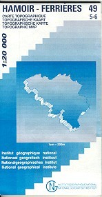
- Hamoir - Ferrieres
- Topographical survey of Belgium at 1:20,000 from Nationaal Geografisch Instituut / Institut Géographique National, the country’s national survey organization. Each 20K map covers one quarter of the corresponding 1:50,000 map (with adjustments in the border and coastal areas). The maps provide all the information expected of topographic mapping... Lire la suite
United Kingdom
- Vresse-sur-Semois
- Topographical survey of Belgium at 1:20,000 from Nationaal Geografisch Instituut / Institut Géographique National, the country’s national survey organization. Each 20K map covers one quarter of the corresponding 1:50,000 map (with adjustments in the border and coastal areas). The maps provide all the information expected of topographic mapping... Lire la suite
United Kingdom
- Limerle - Lengeler
- Topographical survey of Belgium at 1:20,000 from Nationaal Geografisch Instituut / Institut Géographique National, the country’s national survey organization. Each 20K map covers one quarter of the corresponding 1:50,000 map (with adjustments in the border and coastal areas). The maps provide all the information expected of topographic mapping... Lire la suite
United Kingdom
- Mol NGI Topo 17
- Topographical survey of Belgium at 1:50,000 from the country’s national survey organization, Nationaal Geografisch Instituut / Institut Géographique National. Contour interval varies according to the terrain, from 2.5 metres in the coastal areas to 10 metres in the Ardennes. The maps provide all the information expected of topographic mapping... Lire la suite

United Kingdom
- Nivelles NGI Topo 39 - Battle of Waterloo Area
- Nivelles, map No. 39 in the topographic survey of Belgium at 1:50, covering both the main area of the Battle of Waterloo on 18th June 1815 including the Mont St-Jean escarpment, the Lion’s Mound (Lion’s Hillock) and the museum, and the Les Quatre Bras crossroads - the site of French victory on 16th June.Although not specifically designed to... Lire la suite
United Kingdom
- Seraing - Chaudfontaine
- Topographical survey of Belgium at 1:20,000 from Nationaal Geografisch Instituut / Institut Géographique National, the country’s national survey organization. Each 20K map covers one quarter of the corresponding 1:50,000 map (with adjustments in the border and coastal areas). The maps provide all the information expected of topographic mapping... Lire la suite
United Kingdom
- Mons NGI Topo 45 - WWI Battlefields
- Mons, map No. 45 in the topographic survey of Belgium at 1:50,000 covering the area of the Battle of Mons, British Army’s first major engagement in World War I in August 1914. The Mons - Condé Canal runs across the middle of the map and coverage includes Obourg where Private John Parr became the first British soldier to be killed in the war.... Lire la suite

United Kingdom
- Mons - Givry
- Topographical survey of Belgium at 1:20,000 from Nationaal Geografisch Instituut / Institut Géographique National, the country’s national survey organization. Each 20K map covers one quarter of the corresponding 1:50,000 map (with adjustments in the border and coastal areas). The maps provide all the information expected of topographic mapping... Lire la suite

United Kingdom
- Durbuy - Erezee
- Topographical survey of Belgium at 1:20,000 from Nationaal Geografisch Instituut / Institut Géographique National, the country’s national survey organization. Each 20K map covers one quarter of the corresponding 1:50,000 map (with adjustments in the border and coastal areas). The maps provide all the information expected of topographic mapping... Lire la suite
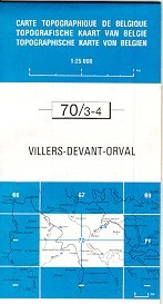
United Kingdom
- Villers devant Orval
- Topographical survey of Belgium at 1:20,000 from Nationaal Geografisch Instituut / Institut Géographique National, the country’s national survey organization. Each 20K map covers one quarter of the corresponding 1:50,000 map (with adjustments in the border and coastal areas). The maps provide all the information expected of topographic mapping... Lire la suite