Liban
Description
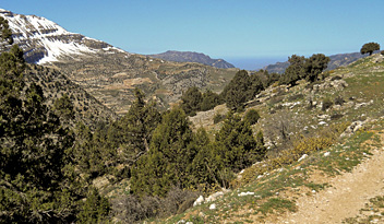
Lebanon is situated on the eastern shore of the Mediterranean Sea, and borders on Syria and Israel. It is a largely mountainous country, with a long but narrow low-lying coastal strip, from which foothills rise up steeply into the rugged Lebanon Mountains, also known as Mount Lebanon or the Western Lebanon Mountain Range. This mountain range runs parallel to the coast, 160 km in a north-south direction, covering the full length of the country. Its high peaks rise up to over 2500 m. and are covered in snow for several months every year. It is home to the highest mountain of Lebanon, Qurnat as Sawda (3088 m). And best of all, it has the Lebanon Mountain Trail (LMT)! This first ever 440 km long distance hiking trail of Lebanon traverses the Lebanon Mountains from north to south in 26 stages. Take a look in the Trails section.
Some parts of the Lebanon Mountains stand out. For instance the beautiful Qadisha Valley in the north, the abode of the Maronite Christians, an area with numerous hiking trails passing caves and monasteries. The same goes for the nature reserves of Shouf Cedar and Horsh Ehden, and the valley of the river Nahr Ibrahim.
Across the Lebanon Mountains towards the east is the fertile agricultural Bekaa Valley. Then another parallel range rises up, called the Anti-Lebanon Mountains or Eastern Lebanon Mountain Range. Lebanon's eastern border with Syria runs mostly along the crest of this rather arid mountain chain, and includes its high peaks Mount Hermon (2814 m) and Talat Musa (2669 m).
Sentiers
Régions
Montagnes
Liens
Données
Rapports
Guides et cartes
Hébergement
Organisations
Voyagistes
GPS
Autre
Livres

United Kingdom
- The Hezbollah Hiking Club
- A short walk across the Lebanon Lire la suite

Netherlands
- 60 Hikes Within 60 Miles
- The southern portion of Pennsylvania is rich with history, but also boasts breathtaking natural beauty. From rolling hills in Lancaster and York Counties to steep ravines along the Susquehanna River, this region offers hikers a wide array of outdoor experiences. This guide is the first comprehensive hiking tour of the region, and its accessible... Lire la suite
- Also available from:
- Bol.com, Belgium

Belgium
- 60 Hikes Within 60 Miles
- The southern portion of Pennsylvania is rich with history, but also boasts breathtaking natural beauty. From rolling hills in Lancaster and York Counties to steep ravines along the Susquehanna River, this region offers hikers a wide array of outdoor experiences. This guide is the first comprehensive hiking tour of the region, and its accessible... Lire la suite

Netherlands
2014
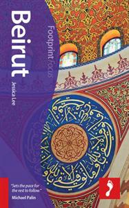
- Beirut Footprint Focus Guide
- Go for an early morning walk along the Corniche – Beirut's seaside promenade – and watch as the Mediterranean Sea laps against the rocks while the summits of Mount Lebanon dominate the horizon to the east. Enjoy a strong black coffee here before hitting Hamra to experience Beirut's bustling commercial side or the old Central District to admire... Lire la suite
- Also available from:
- Bol.com, Belgium
- De Zwerver, Netherlands

Belgium
2014
- Beirut Footprint Focus Guide
- Go for an early morning walk along the Corniche – Beirut's seaside promenade – and watch as the Mediterranean Sea laps against the rocks while the summits of Mount Lebanon dominate the horizon to the east. Enjoy a strong black coffee here before hitting Hamra to experience Beirut's bustling commercial side or the old Central District to admire... Lire la suite

Netherlands
2014
- Reisgids Focus Beirut - Beiroet | Footprint
- Kleine uitgave van de alom gewaardeerde Footprint guides: goede gidsen met veel praktische informatie als hotels, restaurants, openbaar vervoer en musea. Ook gedegen culturele achtergrond informatie. go for an early morning walk along the Corniche - Beirut's seaside promenade - and watch as the Mediterranean Sea laps against the rocks while the... Lire la suite

Netherlands
- A Crack in the Earth
- The Jordan Rift Valley, stretching from the Red Sea to Lebanon, was ripped open millions of years ago by vast forces within the earth. This geological object has also been a part of human history ever since early humans used it as a path in their journey out of Africa. And for a quarter of a century it has been part of the biography of Israeli... Lire la suite
- Also available from:
- Bol.com, Belgium

Belgium
- A Crack in the Earth
- The Jordan Rift Valley, stretching from the Red Sea to Lebanon, was ripped open millions of years ago by vast forces within the earth. This geological object has also been a part of human history ever since early humans used it as a path in their journey out of Africa. And for a quarter of a century it has been part of the biography of Israeli... Lire la suite

Netherlands
2008
- Lonely Planet Syria & Lebanon
- Discover Syria & LebanonSmile your thanks when the elderly caretaker of a Damascus house opens the door just for youTest-drive your Arabic as you fly through the Syrian desert in a 1960s Dodge taxiWhat conflict? Find your peace hiking amid waterfalls, hermitages and monasteries in Lebanon's gorgeous Qadisha ValleyLather up with olive oil soap... Lire la suite
- Also available from:
- Bol.com, Belgium

Belgium
2008
- Lonely Planet Syria & Lebanon
- Discover Syria & LebanonSmile your thanks when the elderly caretaker of a Damascus house opens the door just for youTest-drive your Arabic as you fly through the Syrian desert in a 1960s Dodge taxiWhat conflict? Find your peace hiking amid waterfalls, hermitages and monasteries in Lebanon's gorgeous Qadisha ValleyLather up with olive oil soap... Lire la suite
Cartes

Netherlands
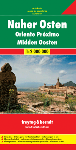
- Wegenkaart - landkaart Naher-Osten, Midden Oosten | Freytag & Berndt
- Carte routière du Moyen-Orient Lire la suite

Netherlands
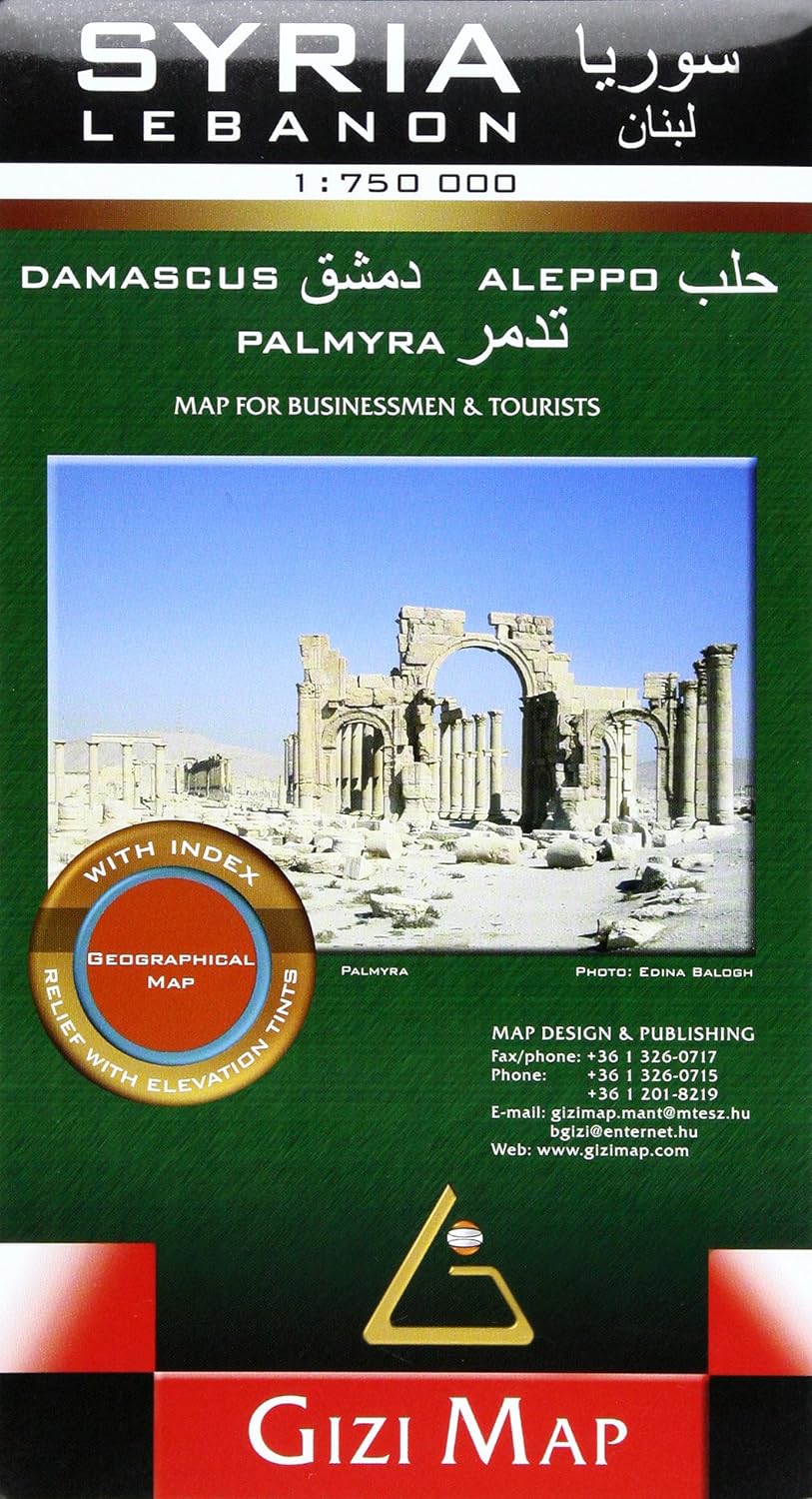
- Wegenkaart - landkaart Syria and Libanon - Syrië | Gizi Map
- Syria - Lebanon Geographical Map 1 : 750 000 ab 11.99 EURO Neuauflage Lire la suite


.jpg)
