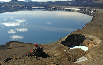
Askja Trail
Description
- Name Askja Trail
- Distance de sentier 90 km, 56 milles
- Durée en jours 5 jours
- Début de sentier Herðubreiðarlindir
- Fin de sentier Svartárkot
- Classement Traildino MW, Marche modérée, sentier de randonnée
- Classement Traversée de montagne T1, Randonnée
Askja Trail / Öskjuvegur, Herðubreiðarlindir – Svartárkot, 90 km, 5 days.
This marked trail is located in the north and centre part of the island, and it takes you to the vulcano Askja. This trail is also known by the name “Öskjuvegur”.
In 1875, the infamous Askja plunged the island into disaster. The ashes of an enormous eruption poisoned the land and killed live stock. Consequently, many Icelanders emigrated.
In recent times the volcano erupted several times, the most recent one in 1961, but without doing much harm.
This path, the Askja Trail, runs in a wide arc from Herðubreiðarlindir to the farm Svartárkot, where you should find a bus to pick you up. The trail is marked and along the way you will pass four cabins where you can stay overnight. The path is maintained by the Touring Club of Akureyri.
The path is rather demanding. During long stretches you will walk over solidified lava, and you will have to cross a ridge on 1300 meters. Here, bad weather is no fun. Of course you must carry your own meals and water. The area is relatively dry, which is another advantage.
The volcano itself is an interesting site. Its central vast caldera is flooded. Nearby is the small, recent crater Viti, where you may meet tourist traveling in 4x4 cars.
Liens
Données
Rapports
Guides et cartes
Hébergement
Organisations
Voyagistes
GPS
Autre
Livres
Netherlands
2013
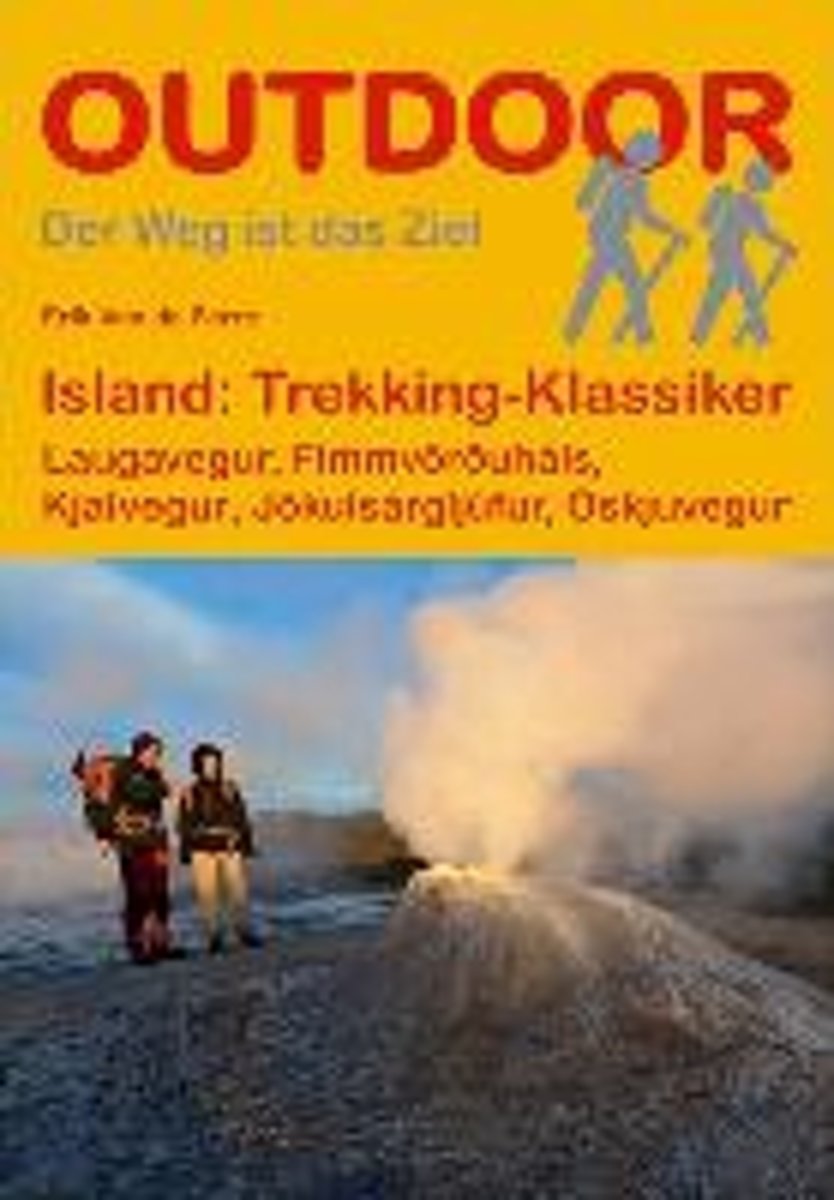
- Island: Trekking Klassiker
- "Island: Trekking-Klassiker" stellt f nf der sehenswertesten Trekkingrouten auf Island vor und liefert alle wichtigen Informationen f r unterwegs. Neben dem bekannten Laugavegur im S den der Insel werden eine Gebirgswanderung ber den Fimmv r uh ls, die Durchquerung des J kuls rglj fur-Nationalparks, eine leichtere Tour durch das westliche... Lire la suite
- Also available from:
- Bol.com, Belgium
- De Zwerver, Netherlands

Belgium
2013
- Island: Trekking Klassiker
- "Island: Trekking-Klassiker" stellt f nf der sehenswertesten Trekkingrouten auf Island vor und liefert alle wichtigen Informationen f r unterwegs. Neben dem bekannten Laugavegur im S den der Insel werden eine Gebirgswanderung ber den Fimmv r uh ls, die Durchquerung des J kuls rglj fur-Nationalparks, eine leichtere Tour durch das westliche... Lire la suite
Netherlands
2019
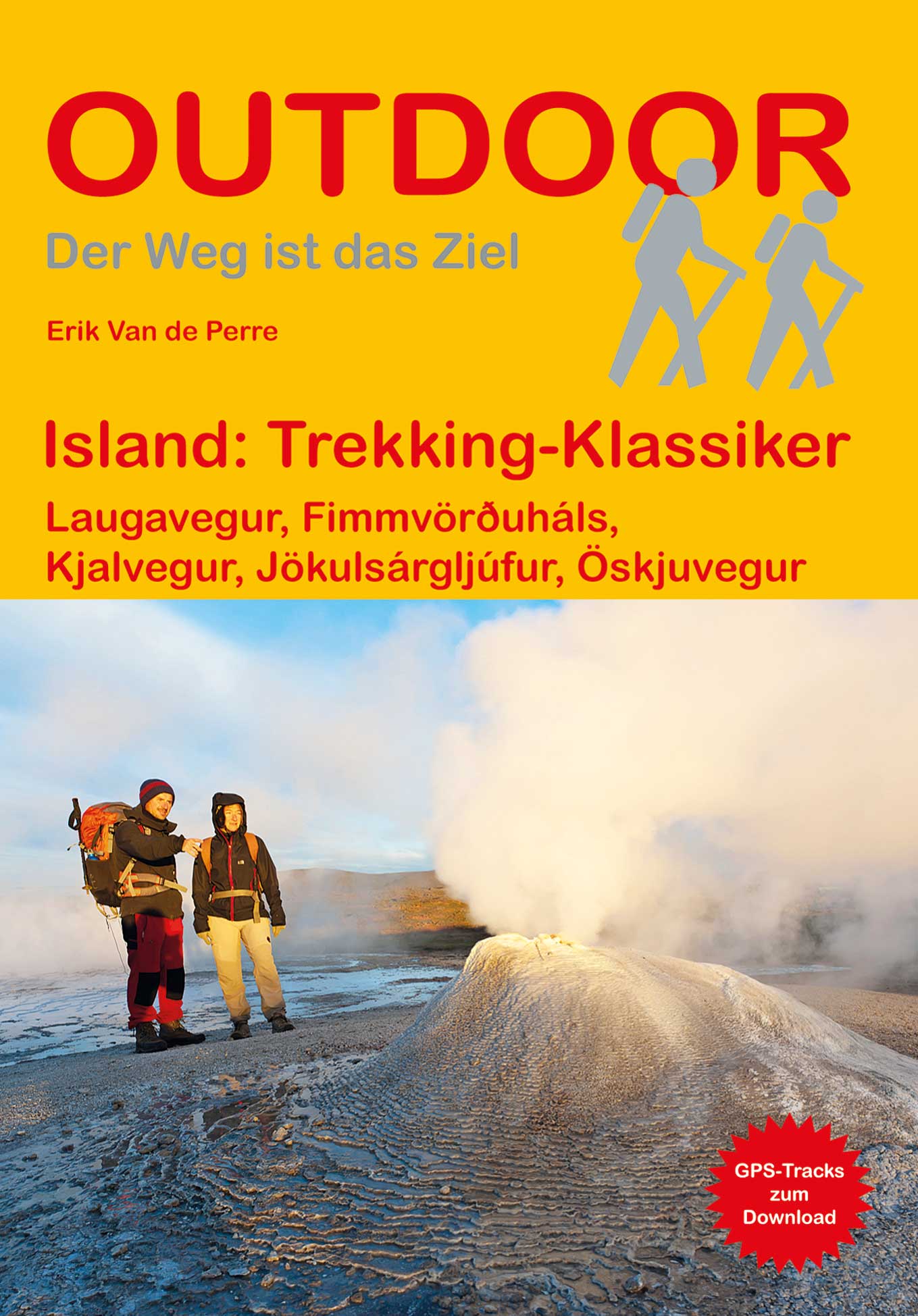
- Wandelgids Trekking Klassiker Island - IJsland | Conrad Stein Verlag
- Die fünf vorgestellten Routen haben sich als Islands Klassiker etabliert. Der Laugavegur (53 km), der bekannteste Trek Islands, führt von der Hochlandoase Landmannalaugar durch bunte Rhyolithberge und karge Sand- und Lavawüsten in vier Tagesetappen nach Þórsmörk. Tiefe Schluchten, rauschende Wasserfälle und glitzernde Eiszungen prägen die... Lire la suite

United Kingdom
2015
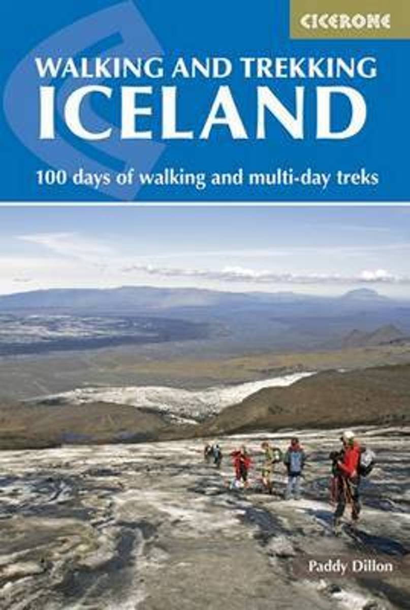
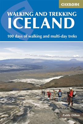
- Iceland, Walking and Trekking - 100 days of walking and multi-day treks
- Walking and Trekking in Iceland from Cicerone Press with 49 day walks and 10 multi-stage treks in various types of terrain including the country’s geothermal areas, presenting both popular classics like the Laugavegur trail and lesser known routes.The walks are grouped geographically to provide a variety of choices in a given area, which is... Lire la suite
- Also available from:
- The Book Depository, United Kingdom
- Bol.com, Netherlands
- Bol.com, Belgium
- De Zwerver, Netherlands

United Kingdom
2015
- Walking and Trekking in Iceland
- 100 days of walking and multi-day treks Lire la suite
Netherlands
2015
- Walking and trekking in Iceland
- This hiking and trekking guidebook offers a total of 49 day hikes and 10 multi-stage treks set right across the magnificent country of Iceland. With three national parks including the mighty Vatnajökull, it is a country of incredible beauty, and its capital, Reykjavík, is an established and easy-to-get-to destination. Including popular, such as... Lire la suite

Belgium
2015
- Walking and trekking in Iceland
- This hiking and trekking guidebook offers a total of 49 day hikes and 10 multi-stage treks set right across the magnificent country of Iceland. With three national parks including the mighty Vatnajökull, it is a country of incredible beauty, and its capital, Reykjavík, is an established and easy-to-get-to destination. Including popular, such as... Lire la suite
Netherlands
2015
- Wandelgids Walking and Trekking in Iceland - IJsland | Cicerone
- This guidebook to walking routes in Iceland offers 49 day walks and 10 multi-stage treks including the classic Laugavegur Trail. The total of 100 days of routes described cater for most abilities, from waymarked walks to challenging glacier crossings. Information on public transport, accommodation, facilities and budget travel tips also included. Lire la suite


