
Islande
Description

This rugged North Atlantic island offers great hiking through surprising nature. Vast lava fields spread out next to massive glaciers. Hot streams emerge from boiling springs. Giant waterfalls come roaring down and of course the famous geysers blow hot steam high into the air at regular intervals. For any hiker who loves wide expanses of clear empty sky, phenomenal views and remoteness. Everything in this country is bigger, larger, more colourful, and wetter. Iceland is paradise.
The volcanic most active part of the island is a band running from the south west to the north east.
There are numerous hiking trails in different parts of Iceland, but not all are clearly waymarked. Given frequent fog and the remoteness of Icelandic nature in general, it is necessary that you always know how to use map and compass. Don’t believe people who argue that a compass will be impaired by the local magnetism: not true. A GPS receiver, and plenty of spare batteries, comes in handy too. The most popular routes pass mountain huts at a day’s hike distance. Make reservations in advance. Always bring your own sleeping bag and food.
The most popular routes are:
- Laugavegur, between active volcanos, glaciers and colourful mountains;
- Kjalvegur, a trading route in the remote interior.
Also think of these good hiking area’s
- Þingvellir, the historic lake and pleasant surroundings;
- Mývatn, a beloved lake in the north;
- The eastern fjords;
- The giant glacier Vatnajökull, with many trails around it;
- The very very lonely north coast;
- Jökulsá á Fjöllum river, with its immense waterfalls and spectacular canyons;
- Hornstrandir, the fjord like north western peninsula.
Although Iceland is not as cold a place as it sounds, hikers must be prepared for frequent and sudden weather changes and fog during all seasons. Also you may have to wade across rivers, and this can be dangerous. The summer months (mid June to mid September) are best for hiking. Prepare well.
Sentiers
Régions


Liens
Données
Rapports
Guides et cartes
Hébergement
Organisations
Voyagistes
GPS
Autre
Livres

United Kingdom
2022
- Also available from:
- De Zwerver, Netherlands

United Kingdom
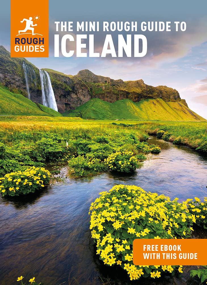
- ICELAND, waterfalls, volcanoes, glaciers, canyons, hot springs, lakes, geysers, craters, lava fields
- Smart Travel Guide for Nature Lovers, Hikers, Trekkers, Photographers Lire la suite

United Kingdom
2020
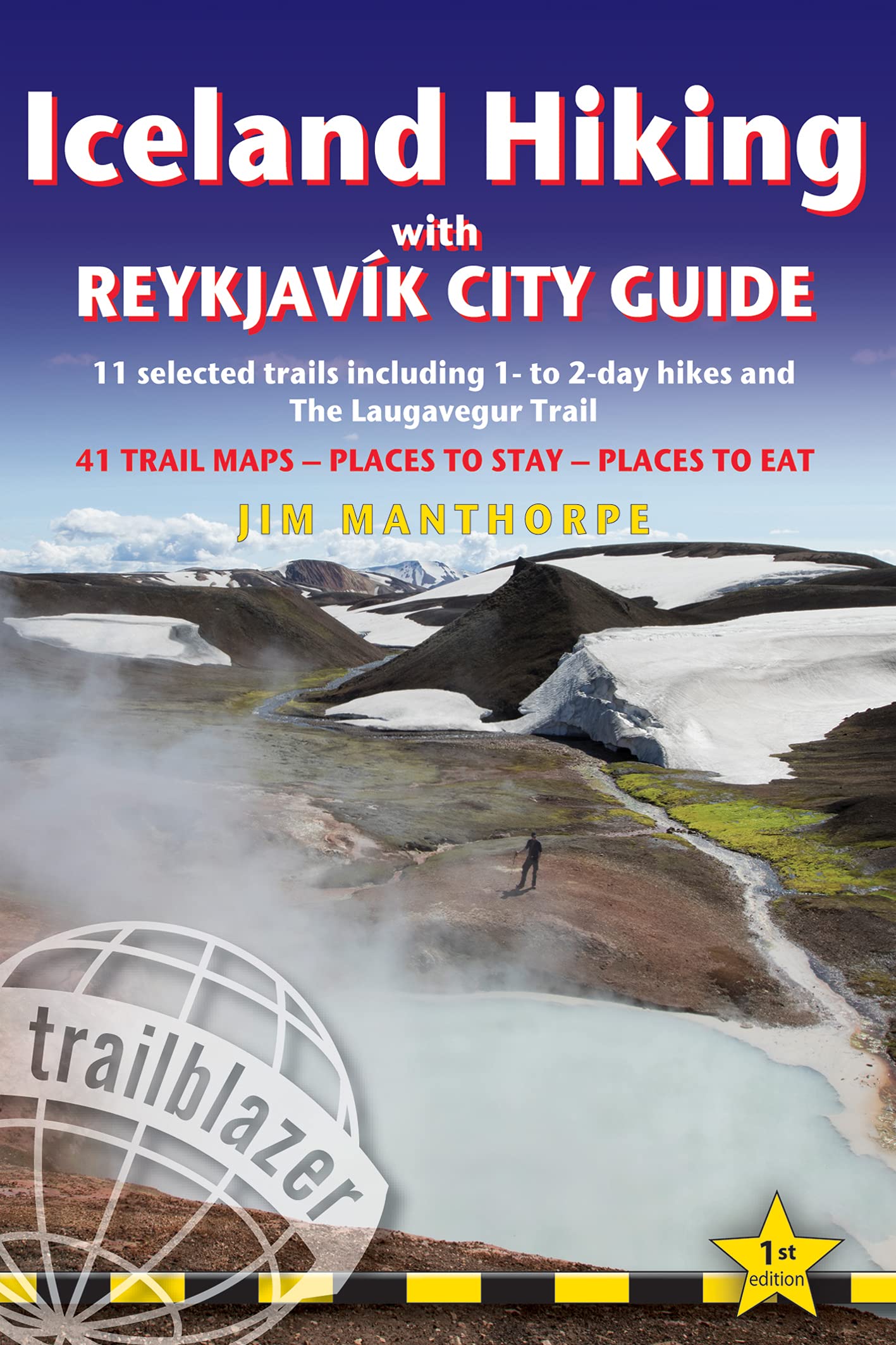
- Iceland Hiking - with Reykjavik City Guide
- 11 selected trails including 1- to 2-day hikes and The Laugavegur Trek Lire la suite
- Also available from:
- De Zwerver, Netherlands
Netherlands
2020
- Wandelgids Iceland Hiking with Reykjavik City Guide | Trailblazer Guides
- 11 selected trails including 1- to 2-day hikes and The Laugavegur Trek Lire la suite


United Kingdom
- Iceland Travel Guide 2023
- Discover the Hidden Gems of Iceland (Your Ultimate 2023 Travel Guide) Lire la suite

United Kingdom
- The Icelandic Dream
- A Guide to Planning Your Perfect Vacation To Iceland Lire la suite

United Kingdom
- ICELAND, waterfalls, volcanoes, glaciers, canyons, hot springs, lakes, geysers, craters, lava fields
- Smart Travel Guide for Nature Lovers, Hikers, Trekkers, Photographers (budget version, b/w) Lire la suite

United Kingdom
2020
- Moon Iceland (Third Edition)
- Waterfalls, Glaciers & Hot Springs Lire la suite
Netherlands
2014
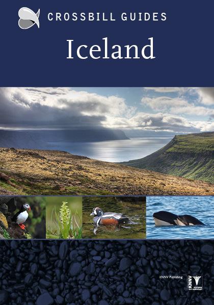
- Natuurgids - Reisgids Crossbill Guides Iceland - IJsland | KNNV Uitgeverij
- IJsland is beroemd om zijn indrukwekkende landschappen, unieke geologie en rijk vogelleven. Er zijn weinig plekken ter wereld waar het vulkanisme zo'n veelvoud landschappen heeft voortgebracht, en waar zulke enorme aantallen vogels gemakkelijk te zien en te fotograferen zijn Deze nieuwe Crossbill Guide beschrijft de IJslandse natuur in al zijn... Lire la suite
Netherlands
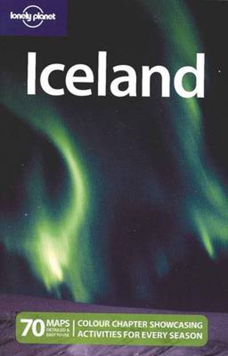
- Lonely Planet Iceland
- Features two chapters, one showcasing Iceland's highlights, and the other focusing on the many outdoor activities, such as glacier-hiking, dog sledding and whale watching. Lire la suite
- Also available from:
- Bol.com, Belgium
Belgium
- Lonely Planet Iceland
- Features two chapters, one showcasing Iceland's highlights, and the other focusing on the many outdoor activities, such as glacier-hiking, dog sledding and whale watching. Lire la suite
Netherlands
2018
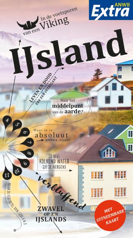
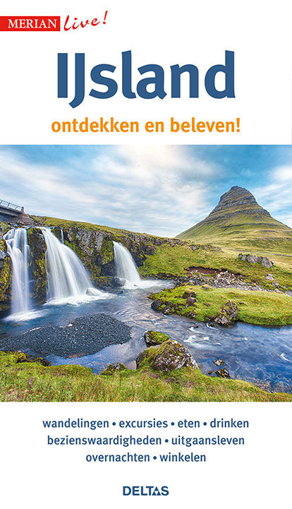
- Reisgids Merian live IJsland | Deltas
- Leuke handzame reisgids met een beschrijving van alle bezienswaardigheden; vrij veel praktische tips als het gaat om bijv. Accommodatie of restaurants. Goed voor een eerste kennismaking met het land. Handzaam reisgidsje met de volgende hoofdstukken: - Aan het strand - Excursies - Bezienswaardigheden - Eten en Drinken - Uitgangsleven -... Lire la suite
Netherlands
2013
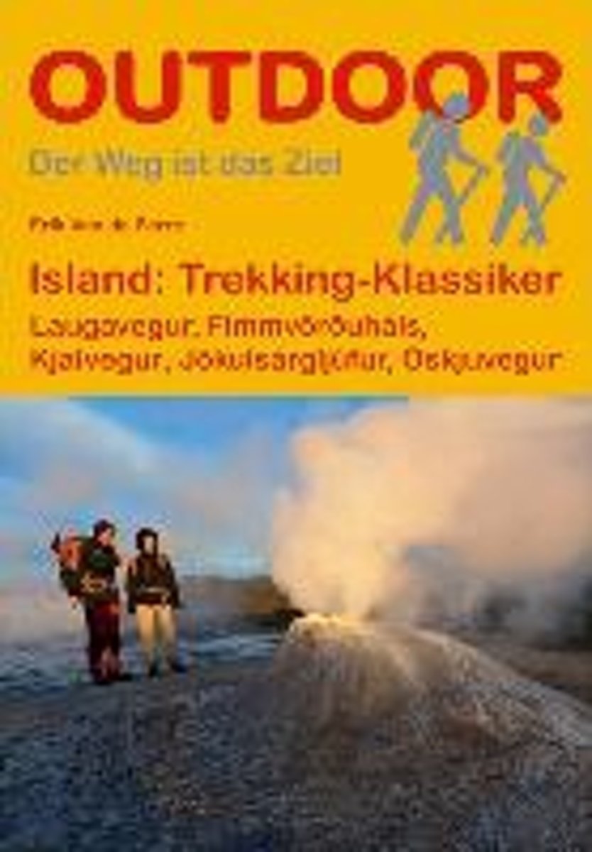
- Island: Trekking Klassiker
- "Island: Trekking-Klassiker" stellt f nf der sehenswertesten Trekkingrouten auf Island vor und liefert alle wichtigen Informationen f r unterwegs. Neben dem bekannten Laugavegur im S den der Insel werden eine Gebirgswanderung ber den Fimmv r uh ls, die Durchquerung des J kuls rglj fur-Nationalparks, eine leichtere Tour durch das westliche... Lire la suite
- Also available from:
- Bol.com, Belgium
- De Zwerver, Netherlands
Belgium
2013
- Island: Trekking Klassiker
- "Island: Trekking-Klassiker" stellt f nf der sehenswertesten Trekkingrouten auf Island vor und liefert alle wichtigen Informationen f r unterwegs. Neben dem bekannten Laugavegur im S den der Insel werden eine Gebirgswanderung ber den Fimmv r uh ls, die Durchquerung des J kuls rglj fur-Nationalparks, eine leichtere Tour durch das westliche... Lire la suite
Netherlands
2019
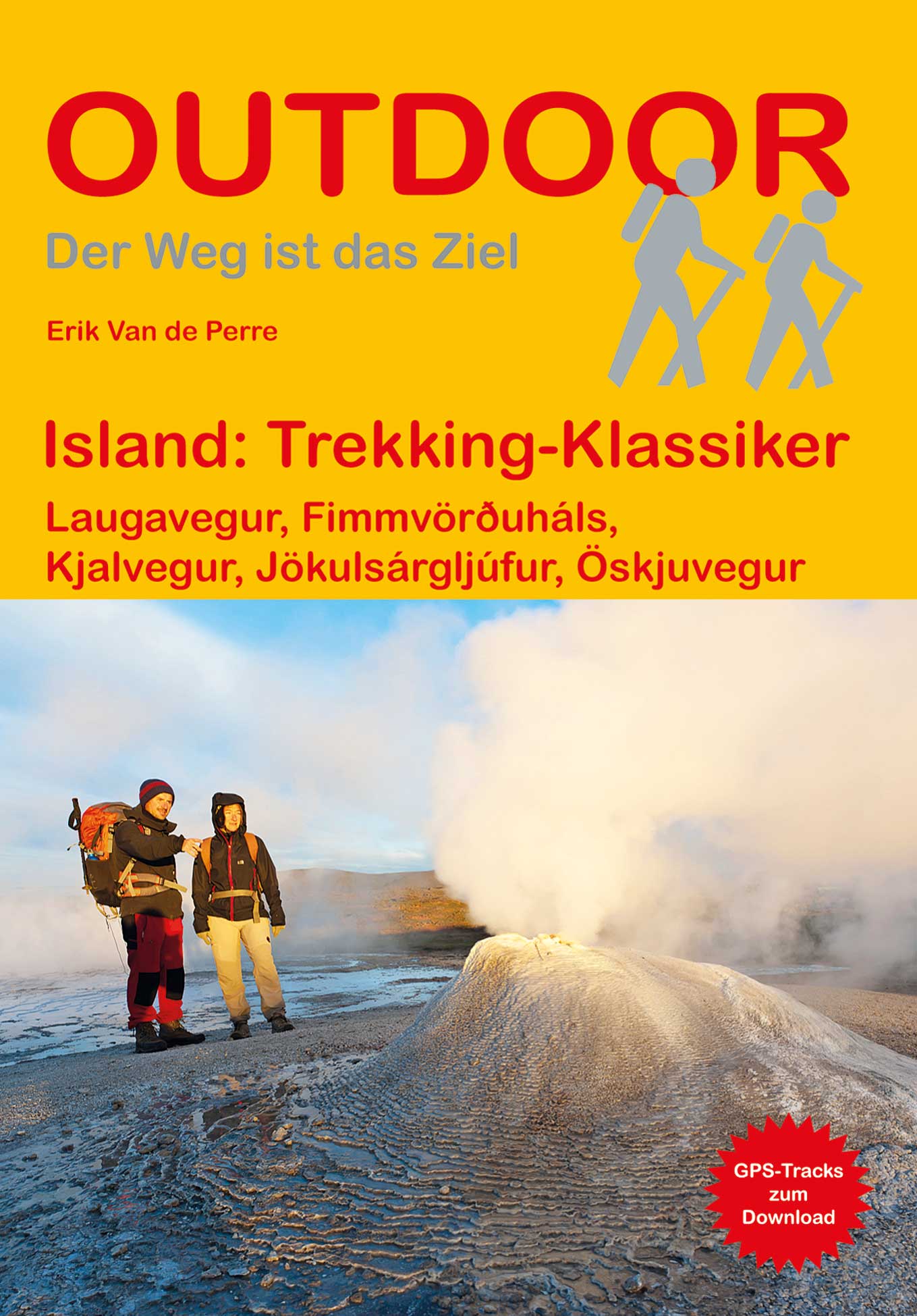
- Wandelgids Trekking Klassiker Island - IJsland | Conrad Stein Verlag
- Die fünf vorgestellten Routen haben sich als Islands Klassiker etabliert. Der Laugavegur (53 km), der bekannteste Trek Islands, führt von der Hochlandoase Landmannalaugar durch bunte Rhyolithberge und karge Sand- und Lavawüsten in vier Tagesetappen nach Þórsmörk. Tiefe Schluchten, rauschende Wasserfälle und glitzernde Eiszungen prägen die... Lire la suite
Cartes

United Kingdom
- Iceland 1:100,000 Complete Set (31 maps)
- Iceland at 1:100,000 in a Complete Set of 31 topographic survey maps published by Mál og menning, with excellent, vivid presentation of the terrain, footpaths and bridleways, campsites, etc. The maps have contours at 20m intervals, enhanced by bold relief shading plus colouring and/or graphics to show glaciers, lava fields, sands and mudflats,... Lire la suite

United Kingdom
- Arnarfjörður
- Arnarfjörður, map no. 6, in the topographic survey of Iceland at 1:100,000 published by Mál og menning, with excellent, vivid presentation of the terrain, footpaths and bridleways, campsites, etc. The maps have contours at 20m intervals, enhanced by bold relief shading plus colouring and/or graphics to show glaciers, lava fields, sands and... Lire la suite

United Kingdom
- Mývatnsöræfi
- Mývatnsöræfi, map no. 21, in the topographic survey of Iceland at 1:100,000 published by Mál og menning, with excellent, vivid presentation of the terrain, footpaths and bridleways, campsites, etc. The maps have contours at 20m intervals, enhanced by bold relief shading plus colouring and/or graphics to show glaciers, lava fields, sands and... Lire la suite

United Kingdom
- Seyðisfjörður
- Seyðisfjörður, map no. 30, in the topographic survey of Iceland at 1:100,000 published by Mál og menning, with excellent, vivid presentation of the terrain, footpaths and bridleways, campsites, etc. The maps have contours at 20m intervals, enhanced by bold relief shading plus colouring and/or graphics to show glaciers, lava fields, sands and... Lire la suite

United Kingdom
- Reykjanesskagi
- Reykjanesskagi, map no. 1, in the topographic survey of Iceland at 1:100,000 published by Mál og menning, with excellent, vivid presentation of the terrain, footpaths and bridleways, campsites, etc. The maps have contours at 20m intervals, enhanced by bold relief shading plus colouring and/or graphics to show glaciers, lava fields, sands and... Lire la suite


United Kingdom
- Dalir
- Dalir, map no. 4, in the topographic survey of Iceland at 1:100,000 published by Mál og menning, with excellent, vivid presentation of the terrain, footpaths and bridleways, campsites, etc. The maps have contours at 20m intervals, enhanced by bold relief shading plus colouring and/or graphics to show glaciers, lava fields, sands and mudflats,... Lire la suite

United Kingdom
- Jökulfirðir
- Jökulfirðir, map no. 7, in the topographic survey of Iceland at 1:100,000 published by Mál og menning, with excellent, vivid presentation of the terrain, footpaths and bridleways, campsites, etc. The maps have contours at 20m intervals, enhanced by bold relief shading plus colouring and/or graphics to show glaciers, lava fields, sands and... Lire la suite

United Kingdom
- Kverkfjöll
- Kverkfjöll , map no. 22, in the topographic survey of Iceland at 1:100,000 published by Mál og menning, with excellent, vivid presentation of the terrain, footpaths and bridleways, campsites, etc. The maps have contours at 20m intervals, enhanced by bold relief shading plus colouring and/or graphics to show glaciers, lava fields, sands and... Lire la suite

United Kingdom
- Reyðarfjörður
- Reyðarfjörður, map no. 31, in the topographic survey of Iceland at 1:100,000 published by Mál og menning, with excellent vivid presentation of the terrain, footpaths and bridleways, campsites, etc. The maps have contours at 20m intervals, enhanced by bold relief shading plus colouring and/or graphics to show glaciers, lava fields, sands and... Lire la suite

United Kingdom
- Strandir
- Strandir, map no. 8, in the topographic survey of Iceland at 1:100,000 published by Mál og menning, with excellent, vivid presentation of the terrain, footpaths and bridleways, campsites, etc. The maps have contours at 20m intervals, enhanced by bold relief shading plus colouring and/or graphics to show glaciers, lava fields, sands and... Lire la suite

United Kingdom
- Árnes
- Árnes, map no. 12, in the topographic survey of Iceland at 1:100,000 published by Mál og menning, with excellent, vivid presentation of the terrain, footpaths and bridleways, campsites, etc. The maps have contours at 20m intervals, enhanced by bold relief shading plus colouring and/or graphics to show glaciers, lava fields, sands and mudflats,... Lire la suite

United Kingdom
- Öræfajökull
- Öræfajökull, map no. 23, in the topographic survey of Iceland at 1:100,000 published by Mál og menning, with excellent, vivid presentation of the terrain, footpaths and bridleways, campsites, etc. The maps have contours at 20m intervals, enhanced by bold relief shading plus colouring and/or graphics to show glaciers, lava fields, sands and... Lire la suite

United Kingdom
- Iceland West: Akranes - Eiríksjökull Glacier
- Western Iceland at 1:200,000 on a detailed map from Mál og Menning with exceptionally vivid presentation of the country’s topography and landscape, hard surface or gravel roads and numerous country tracks, superb drawings of local birds and flowers, etc. Coverage extends northwards from Akranes to Skarðsströnd and the Gilsfjördur bay and... Lire la suite

United Kingdom
- Langjökull
- Langjökull, map no. 11, in the topographic survey of Iceland at 1:100,000 published by Mál og menning, with excellent, vivid presentation of the terrain, footpaths and bridleways, campsites, etc. The maps have contours at 20m intervals, enhanced by bold relief shading plus colouring and/or graphics to show glaciers, lava fields, sands and... Lire la suite