
Montana
Description
Montana, a north country state bordering on Canada, has a mountainous west part, bordering on Idaho.
Here you will find the Continental Divide Trail (961 miles of it), the Great Western Trail, and the Pacific Northwest Trail.
Best for hiking is the Glacier National Park with alpine hiking and passes covered in snow until well into July.
There are major national forests in Montana, offering thousends of miles of spectacular hiking: Flathead National Forest, Lolo National Forest, Gallatin National Forest, Lewis and Clark national Forest, Beaverhead National Forest, Bitterroot National Forest, Kootenai National Forest, to mention the most important ones.
Carte

Sentiers de cette état
Liens
Données
Rapports
Guides et cartes
Hébergement
Organisations
Voyagistes
GPS
Autre
Livres

Stanfords
United Kingdom
United Kingdom
- Best of Canmore Gem Trek
- Best of Camnore, a contoured and GPS compatible, waterproof and tear-resistant map/guide at 1:35,000 from Gem Trek, designed for people who are only going to be in Camnore for one to three days and want to know the highlights. On one side is a detailed, relief-shaded topographic map of the Canmore area, covering Canmore Nordic Centre Provincial... Lire la suite

Stanfords
United Kingdom
2014
United Kingdom
2014
- La Gomera and Southern Tenerife: Car Tours and Walks
- Southern Tenerife and La Gomera is the Sunflower Landscapes guide to exploring the best walking and touring possibilities in the region. The guide covers a range of routes including walks in Montana Guaza, Masca, Arure, Degollada de Peraza and Vallehermoso. A double-sided, fold-out touring map at the back of the book gives an overview of... Lire la suite

Stanfords
United Kingdom
United Kingdom
- Missoula - Mission Mountains MT
- Map No. 724, Missoula - Mission Mountains in Montana at 1:70,000, part of an extensive series of GPS compatible, contoured hiking maps of USA’s national and state parks or forests and other popular recreational areas. Cartography, based on the national topographic survey, has extensive additional tourist information.The maps, printed on light,... Lire la suite

The Book Depository
United Kingdom
United Kingdom
- Montana Outdoor Recreation Web Guide
- An Internet directory guide to Montana's outdoors Lire la suite


Stanfords
United Kingdom
2022
United Kingdom
2022
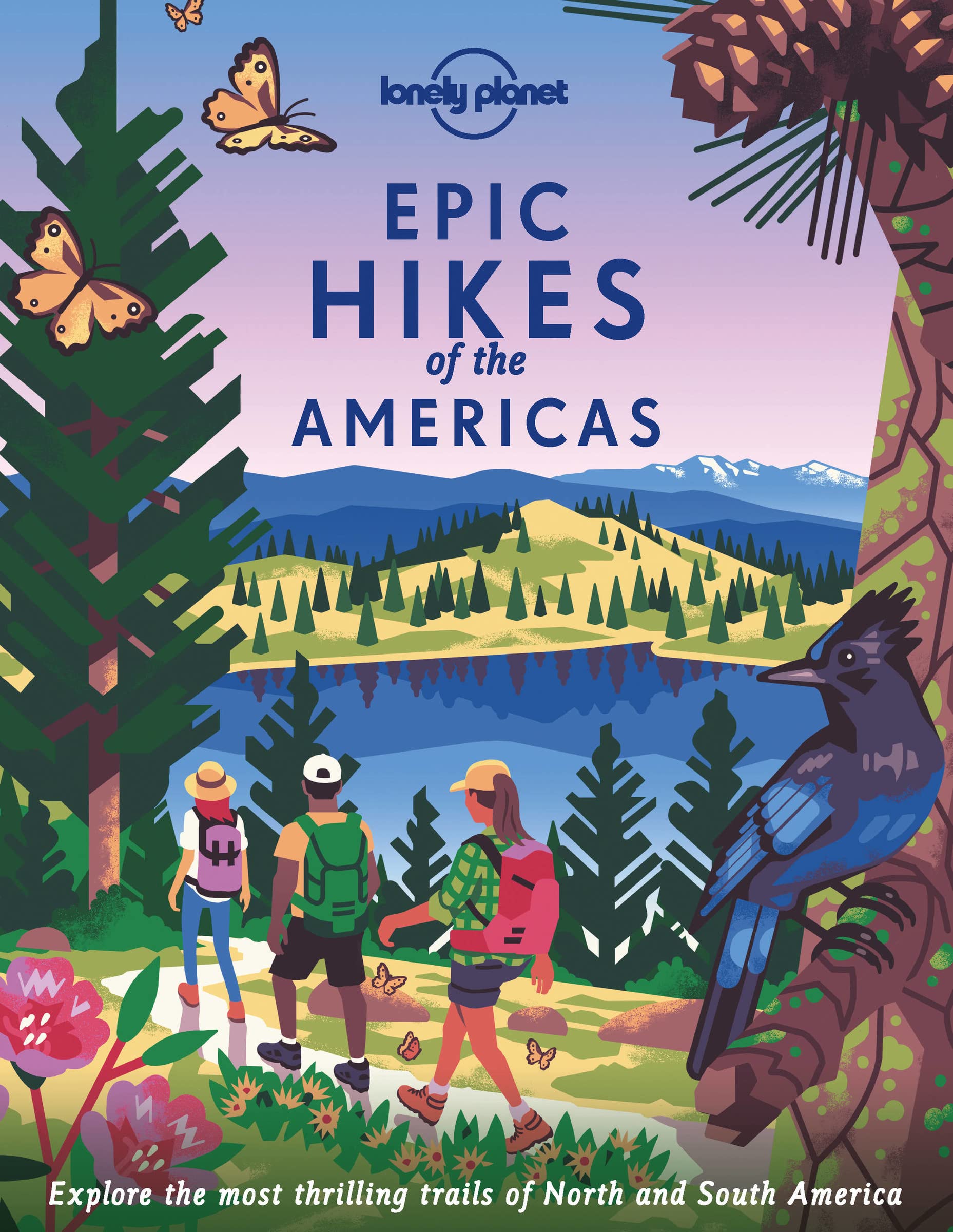
- Epic Hikes of the Americas
- Lace up your hiking boots for the next in Lonely Planet`s highly successful Epic Hikes series, this time exploring 50 of the Americas` most rewarding treks and trails. From Canada`s longest hut-to-hut hike, the Sunshine Coast Trail, to a descent through Havasu Canyon in the USA, and the Santa Cruz Trail of northern Peru, we cover a huge variety... Lire la suite
- Also available from:
- The Book Depository, United Kingdom
- De Zwerver, Netherlands

The Book Depository
United Kingdom
2022
United Kingdom
2022
- Lonely Planet Epic Hikes of the Americas
- Lace up your hiking boots for the next in Lonely Planet`s highly successful Epic Hikes series, this time exploring 50 of the Americas` most rewarding treks and trails. From Canada`s longest hut-to-hut hike, the Sunshine Coast Trail, to a descent through Havasu Canyon in the USA, and the Santa Cruz Trail of northern Peru, we cover a huge variety... Lire la suite
De Zwerver
Netherlands
2022
Netherlands
2022
- Wandelgids Epic Hikes of the Americas | Lonely Planet
- Lace up your hiking boots for the next in Lonely Planet`s highly successful Epic Hikes series, this time exploring 50 of the Americas` most rewarding treks and trails. From Canada`s longest hut-to-hut hike, the Sunshine Coast Trail, to a descent through Havasu Canyon in the USA, and the Santa Cruz Trail of northern Peru, we cover a huge variety... Lire la suite

The Book Depository
United Kingdom
2022
United Kingdom
2022
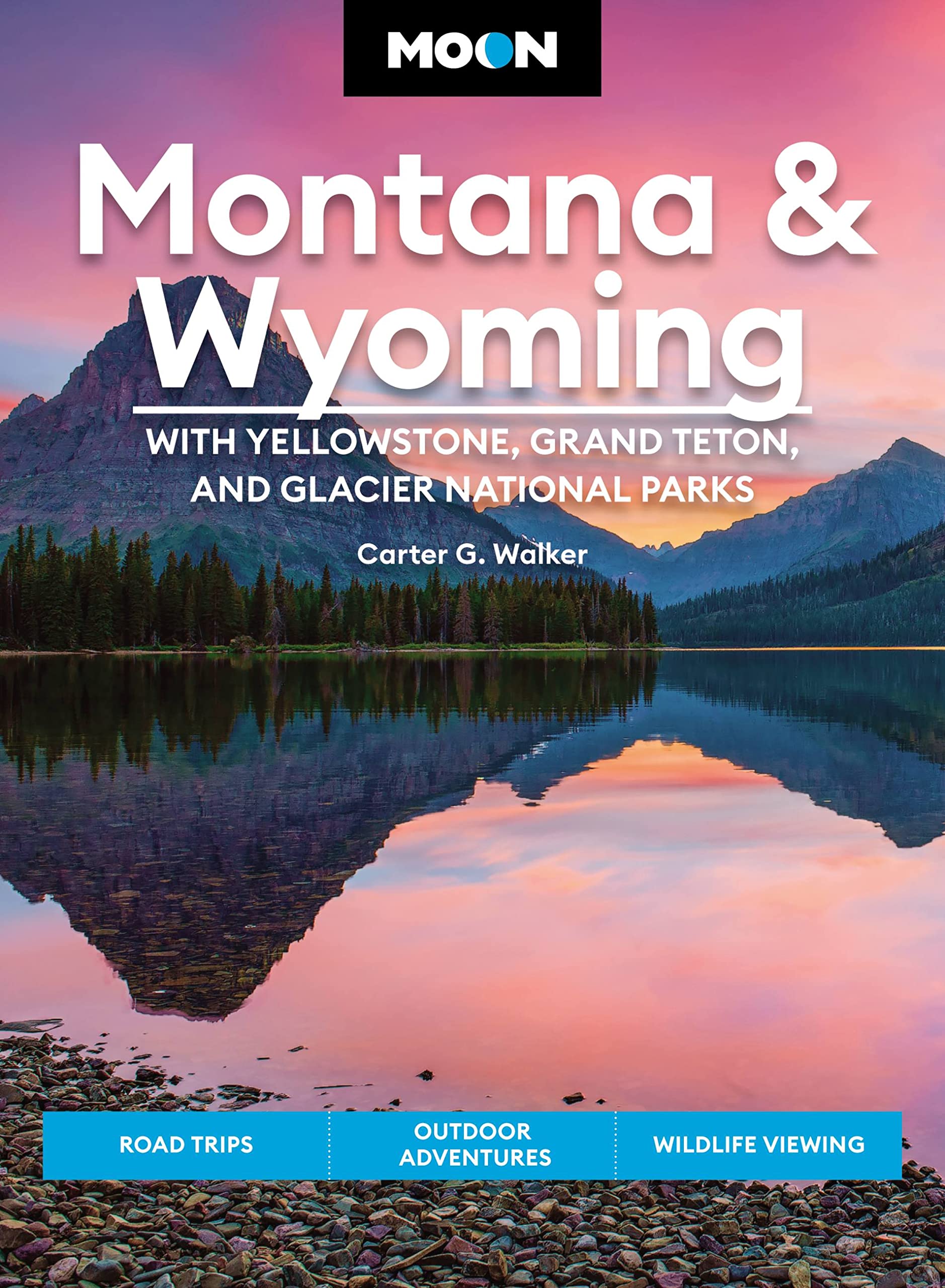
- Moon Montana & Wyoming: With Yellowstone, Grand Teton & Glacier National Parks (Fifth Edition)
- Road Trips, Outdoor Adventures, Wildlife Viewing Lire la suite
- Also available from:
- De Zwerver, Netherlands
De Zwerver
Netherlands
2022
Netherlands
2022
- Reisgids Montana - Wyoming | Moon Travel Guides
- Road Trips, Outdoor Adventures, Wildlife Viewing Lire la suite
Bol.com
Netherlands
Netherlands
- Los Angeles Travel Guide
- Los Angeles is the largest city in California and the second largest in the United States. “The City of Angels” is a melting pot of 18 million people in its sunny location among the forests, mountains and gorgeous beaches of the Pacific Ocean. Los Angeles is the world headquarters of the movie industry (Hollywood) and a major location... Lire la suite
- Also available from:
- Bol.com, Belgium
Bol.com
Belgium
Belgium
- Los Angeles Travel Guide
- Los Angeles is the largest city in California and the second largest in the United States. “The City of Angels” is a melting pot of 18 million people in its sunny location among the forests, mountains and gorgeous beaches of the Pacific Ocean. Los Angeles is the world headquarters of the movie industry (Hollywood) and a major location... Lire la suite
Bol.com
Netherlands
2015
Netherlands
2015
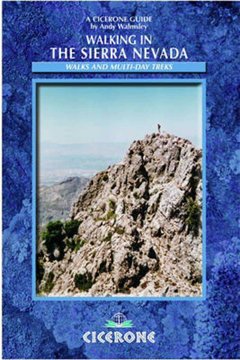
- Walking in the Sierra Nevada
- The Sierra Nevada, the highest mountain range in Spain, provides tremendous scope for the adventurous mountain traveller: there are rugged peaks over 3000m (Alta Montana), remote valleys, crystal-clear streams and some very interesting scenery among the lower limestone peaks of Baja Montana. Mountain bikers will find plenty of routes to... Lire la suite
- Also available from:
- Bol.com, Belgium
Bol.com
Belgium
2015
Belgium
2015
- Walking in the Sierra Nevada
- The Sierra Nevada, the highest mountain range in Spain, provides tremendous scope for the adventurous mountain traveller: there are rugged peaks over 3000m (Alta Montana), remote valleys, crystal-clear streams and some very interesting scenery among the lower limestone peaks of Baja Montana. Mountain bikers will find plenty of routes to... Lire la suite
Bol.com
Netherlands
Netherlands
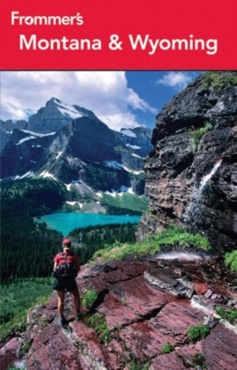
- Frommer's Montana & Wyoming
- * Insider advice on having the best outdoor adventures, from navigating the Yellowstone backcountry to hiking through Grand Teton National Park and from skiing at Jackson Hole to whitewater rafing in Wyoming's Snake River. There's also an active vacation planner to help you make the most of your outdoor experiences. * Where to find the most... Lire la suite
- Also available from:
- Bol.com, Belgium
Bol.com
Belgium
Belgium
- Frommer's Montana & Wyoming
- * Insider advice on having the best outdoor adventures, from navigating the Yellowstone backcountry to hiking through Grand Teton National Park and from skiing at Jackson Hole to whitewater rafing in Wyoming's Snake River. There's also an active vacation planner to help you make the most of your outdoor experiences. * Where to find the most... Lire la suite

- Also available from:
- Bol.com, Netherlands
- Bol.com, Belgium
Bol.com
Netherlands
Netherlands
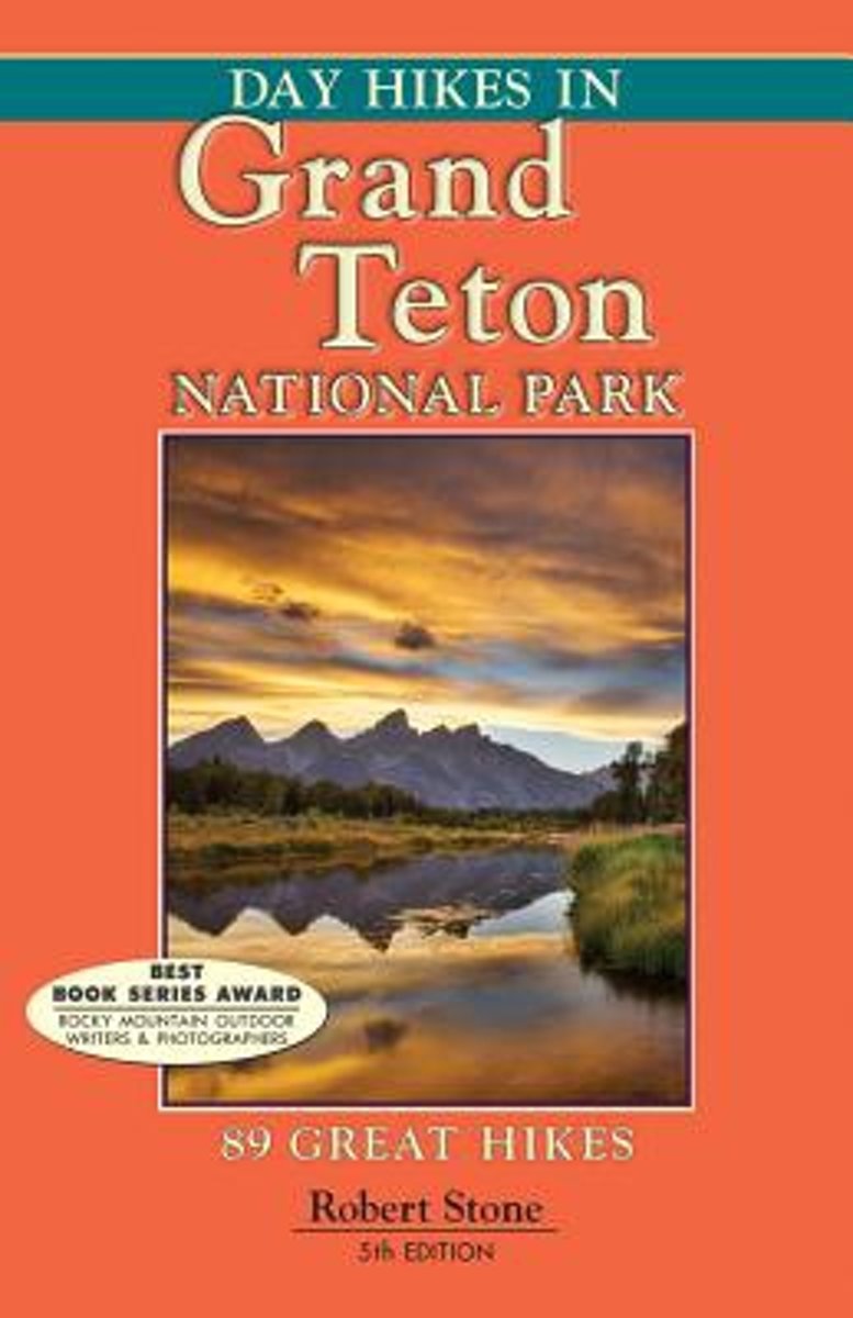
- Day Hikes in Grand Teton National Park
- Grand Teton National Park may be one of the most beautiful and awe-inspiring parks of the Rocky Mountains. The craggy Teton peaks reach as high as 13,770 feet, forming a bony ridge through Wyoming along the Continental Divide. Fronting the Teton Range lies the twisting and curving Snake River, winding its way down the Jackson Hole Valley. The... Lire la suite
Bol.com
Belgium
Belgium
- Day Hikes in Grand Teton National Park
- Grand Teton National Park may be one of the most beautiful and awe-inspiring parks of the Rocky Mountains. The craggy Teton peaks reach as high as 13,770 feet, forming a bony ridge through Wyoming along the Continental Divide. Fronting the Teton Range lies the twisting and curving Snake River, winding its way down the Jackson Hole Valley. The... Lire la suite
Bol.com
Netherlands
Netherlands
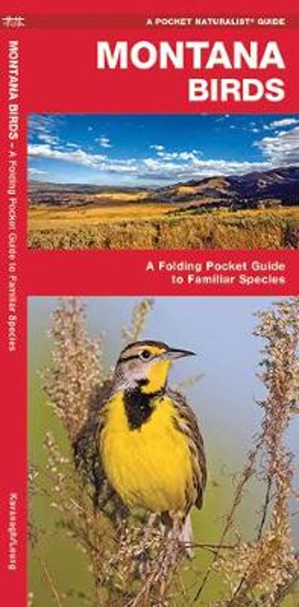
- Montana Birds
- From the Sandhill Crane to the Canada Goose, more than 200 species of birds are found on the plains of Montana alone. Montana Birds will help to identify over 140 familiar species with beautiful detailed illustrations.Created and printed in the USA, this guide was updated in 2012 with a new cover design and a back panel map highlighting the... Lire la suite
- Also available from:
- Bol.com, Belgium
Bol.com
Belgium
Belgium
- Montana Birds
- From the Sandhill Crane to the Canada Goose, more than 200 species of birds are found on the plains of Montana alone. Montana Birds will help to identify over 140 familiar species with beautiful detailed illustrations.Created and printed in the USA, this guide was updated in 2012 with a new cover design and a back panel map highlighting the... Lire la suite
Bol.com
Netherlands
Netherlands
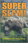
- Super Slam
- This is Chuck Adams's first book retracing his epic journey to take all 28 North American big game species with a bow. Chuck relives those incredible hunts -- all in one book -- one that no serious bowhunter will want to be without it. Imagine staring at a snarling 9' polar bear at 15 steps with nothing but a bow in your icy hand and no back-up... Lire la suite
- Also available from:
- Bol.com, Belgium
Bol.com
Belgium
Belgium
- Super Slam
- This is Chuck Adams's first book retracing his epic journey to take all 28 North American big game species with a bow. Chuck relives those incredible hunts -- all in one book -- one that no serious bowhunter will want to be without it. Imagine staring at a snarling 9' polar bear at 15 steps with nothing but a bow in your icy hand and no back-up... Lire la suite
Bol.com
Netherlands
Netherlands
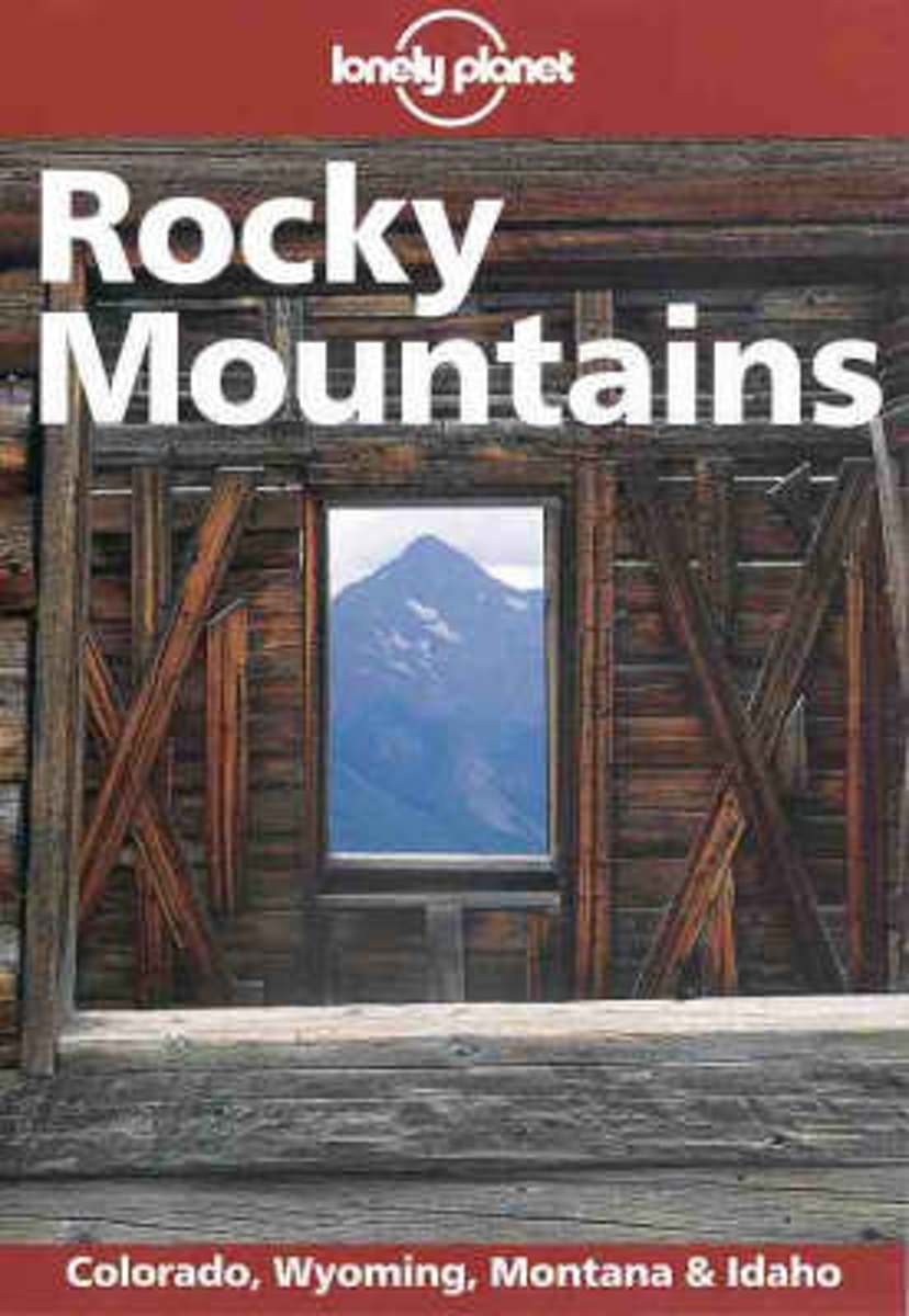
- Rocky Mountain States
- Encompassing Colorado, Idaho, Montana and Wyoming, this guide provides information on all resorts, with tips on how to get around and a summary of what to do and what to see in the various national parks. Lire la suite
- Also available from:
- Bol.com, Belgium
Bol.com
Belgium
Belgium
- Rocky Mountain States
- Encompassing Colorado, Idaho, Montana and Wyoming, this guide provides information on all resorts, with tips on how to get around and a summary of what to do and what to see in the various national parks. Lire la suite
Bol.com
Netherlands
Netherlands
- Continental Divide Trail [In Gift Box]
- National Geographic's map of the Continental Divide Trail is ideal for fans and hikers of this magnificent National Scenic Trail. It makes a great planning tool or as reference to track progress on the 3,100 plus mile length. This beautiful map shows the entire length of the trail from Mexico to Canada through New Mexico, Colorado, Wyoming,... Lire la suite
- Also available from:
- Bol.com, Belgium
Bol.com
Belgium
Belgium
- Continental Divide Trail [In Gift Box]
- National Geographic's map of the Continental Divide Trail is ideal for fans and hikers of this magnificent National Scenic Trail. It makes a great planning tool or as reference to track progress on the 3,100 plus mile length. This beautiful map shows the entire length of the trail from Mexico to Canada through New Mexico, Colorado, Wyoming,... Lire la suite
Cartes
Stanfords
United Kingdom
United Kingdom
- Comunita Montana del Fortore
- Fortore commune in the mountains along the north-eastern corner of Campania on a detailed, countered map at 1:50,000 from Ed. Abies, with notes about the area and other tourist information. The map is centered on the villages of Molinara, Montefalcone di Valforte and Foiano di Valfortre, with the town of Benevento in its south-western... Lire la suite

Stanfords
United Kingdom
United Kingdom
- Greater Yellowstone & Grand Teton Benchnark Maps Recreation Atlas & Guide
- Greater Yellowstone and Grand Teton Recreation Atlas & Guide from Benchmark Maps in an A4 paperback format, with coverage of the two parks on detailed, GPS compatible “Recreational” section at 1:100,000, regional map coverage of a wider area, plus a 10-page recreational guide with list of various facilities, etc.The more detailed “Landscape”... Lire la suite

Stanfords
United Kingdom
United Kingdom
- Kootenay Rockies - Calgary and Northern Montana Back Road Atlas
- South-eastern British Columbia with the adjoining regions of Alberta including the Banff and Jasper NP plus the border area of Montana with the Glacier NP presented at 1:250,000 in an A4 paperback road atlas with additional street plans, a listing of local events, etc.Mapping at 1:250,000 covers the areas indicated on our coverage image.... Lire la suite

Stanfords
United Kingdom
United Kingdom
- Isla de Montana Clara 25K Lanzarote CNIG Topographic Survey Map No. 1079-IV
- Topographic coverage of the Canary Islands at 1:25,000 published by the Instituto Geográfico Nacional – Centro Nacional de Información Geografica, the country’s civilian survey organization. The maps have contours at 10m intervals and colouring and/or graphics to show different types of vegetation or land use. Boundaries of national parks and... Lire la suite

Stanfords
United Kingdom
United Kingdom
- Montaña Palentina y Sur de la Liébana CNIG
- Montaña Palentina, just south-east of the Picos de Europa, on a contoured and GPS compatible map at 1:50,000 from IGN/CNIG with cartography from their topographic survey of Spain. The map has contours at 20m intervals enhanced by bold relief shading, plus colouring and graphics to show different types of vegetation. Mountain refuges are... Lire la suite

Stanfords
United Kingdom
United Kingdom
- Banff - Egypt Lake Gem Trek
- Banff - Egypt Lake, a contoured and GPS compatible map at 1:50,000 from Gem Trek of the main hiking area in the Banff National Park, with coverage around Banff itself, including trails eastwards to Lake Minnewanka and Johnson, and extending westwards across the state border to include parts of Kootenay NP and Mt. Assiniboine Provincial Park.... Lire la suite

Stanfords
United Kingdom
United Kingdom
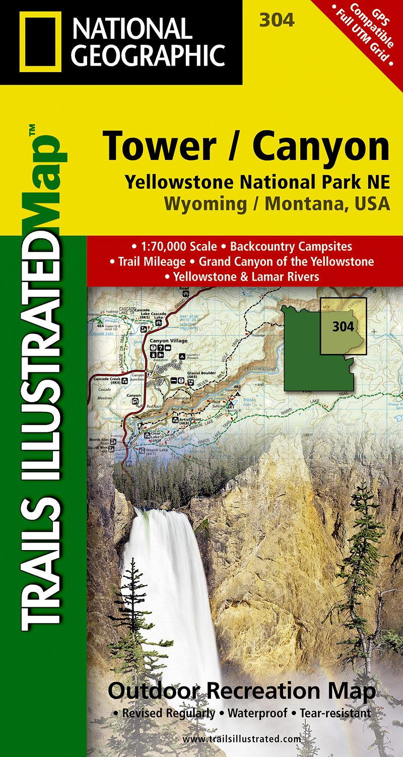
- Tower - Canyon - Yellowstone National Park WY/MT
- Map No. 304, Yellowstone NE: Tower/Canyon, WY/MT, in an extensive series of GPS compatible, contoured hiking maps of USA’s national and state parks or forests and other popular recreational areas. Cartography based on the national topographic survey, with additional tourist information.The maps, with most titles now printed on light, waterproof... Lire la suite
- Also available from:
- The Book Depository, United Kingdom
- De Zwerver, Netherlands

The Book Depository
United Kingdom
United Kingdom
- Yellowstone Ne/tower/canyon
- Trails Illustrated National Parks Lire la suite
De Zwerver
Netherlands
Netherlands
- Wandelkaart - Topografische kaart 304 Tower - Canyon - Yellowstone National Park NE | National Geographic
- Prachtige geplastificeerde kaart van het nationaal park. Met alle recreatieve voorzieningen als campsites, maar ook met topografische details en wandelroutes ed. Door uitgekiend kleurgebruik zeer prettig in gebruik. Scheur en watervast! Coverage of the Tower / Canyon area of Yellowstone National Park includes Canyon Village, Tower -... Lire la suite

Stanfords
United Kingdom
United Kingdom
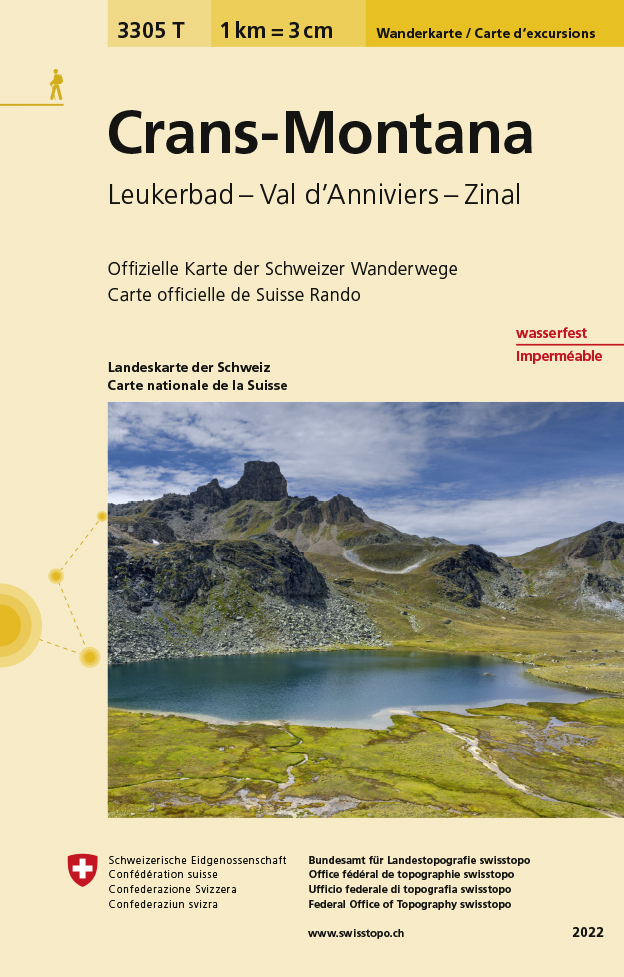
- Crans-Montana - Leukerbad - Val d`Anniviers - Zinal Swisstopo Hiking 3305T
- Crans-Montana - Leukerbad - Val d’Anniviers - Zinal area at 1:33,333 on light, waterproof and tear-resistant map No. 3305T published by Swisstopo in cooperation with the Swiss Hiking Federation. Cartography is the same as in Swisstopo’s 50K hiking maps, simply enlarged to 1:33,333 for extra clarity but without additional information. With... Lire la suite
- Also available from:
- The Book Depository, United Kingdom
- De Zwerver, Netherlands

The Book Depository
United Kingdom
United Kingdom
- Craens - Montana
- Een nieuwe serie van de Zwitserse topografische dienst: eindelijk goede wandelkaarten met ingetekende wandelroutes op scheur- en watervast papier. Vooralsnog zijn ze uitgebracht van de populaire wandelgebieden en niet landelijk dekkend (zie overzicht) Op een gedetailleerde schaal van 1:33.333 met als ondergrond de onovertroffen topografische... Lire la suite
De Zwerver
Netherlands
Netherlands
- Wandelkaart - Topografische kaart 3305T Crans-Montana | Swisstopo
- Een nieuwe serie van de Zwitserse topografische dienst: eindelijk goede wandelkaarten met ingetekende wandelroutes op scheur- en watervast papier. Vooralsnog zijn ze uitgebracht van de populaire wandelgebieden en niet landelijk dekkend (zie overzicht) Op een gedetailleerde schaal van 1:33.333 met als ondergrond de onovertroffen topografische... Lire la suite

Stanfords
United Kingdom
United Kingdom
- Old Faithful - Yellowstone National Park SW WY/MT
- Map No. 302, Yellowstone SW: Old Faithful, WY/MT, in an extensive series of GPS compatible, contoured hiking maps of USA’s national and state parks or forests and other popular recreational areas. Cartography based on the national topographic survey, with additional tourist information.The maps, with most titles now printed on light, waterproof... Lire la suite
- Also available from:
- The Book Depository, United Kingdom
- De Zwerver, Netherlands

The Book Depository
United Kingdom
United Kingdom
- Yellowstone Sw/old Faithful
- Trails Illustrated National Parks Lire la suite

De Zwerver
Netherlands
Netherlands
- Wandelkaart - Topografische kaart 302 Old Faithful, Yellowstone National Park SW | National Geographic
- Prachtige geplastificeerde kaart van het bekende nationaal park. Met alle recreatieve voorzieningen als campsites, maar ook met topografische details en wandelroutes ed. Door uitgekiend kleurgebruik zeer prettig in gebruik. Scheur en watervast! Beautiful waterproof and tear-resistant topographical hiking map of a well-loved National Park, with... Lire la suite

Stanfords
United Kingdom
United Kingdom
- Many Glacier - Glacier and Waterton Lakes National Parks MT
- Map No. 313, Glacier National Park: North Fork, MT, in an extensive series of GPS compatible, contoured hiking maps of USA’s national and state parks or forests and other popular recreational areas. Cartography based on the national topographic survey, with additional tourist information.The maps, with most titles now printed on light,... Lire la suite
- Also available from:
- Bol.com, Netherlands
- Bol.com, Belgium
- De Zwerver, Netherlands

Bol.com
Netherlands
Netherlands
- Many Glacier, Glacier National Park
- Waterproof Tear-Resistant Topographic MapLocated just north of Kalispell in Montana's northwest corner, Glacier National contains an abundance of recreational opportunities for outdoor enthusiasts of all interests.This detailed topographic recreation map contains carefully researched trails, campsites, forest service roads, and... Lire la suite
Bol.com
Belgium
Belgium
- Many Glacier, Glacier National Park
- Waterproof Tear-Resistant Topographic MapLocated just north of Kalispell in Montana's northwest corner, Glacier National contains an abundance of recreational opportunities for outdoor enthusiasts of all interests.This detailed topographic recreation map contains carefully researched trails, campsites, forest service roads, and... Lire la suite

De Zwerver
Netherlands
Netherlands
- Wandelkaart - Topografische kaart 314 Many Glacier - Glacier and Waterton Lakes National Parks | National Geographic
- Prachtige geplastificeerde kaart van het bekende nationaal park. Met alle recreatieve voorzieningen als campsites, maar ook met topografische details en wandelroutes ed. Door uitgekiend kleurgebruik zeer prettig in gebruik. Scheur en watervast! Located just north of Kalispell in Montana's northwest corner, Glacier National contains an... Lire la suite


Stanfords
United Kingdom
United Kingdom
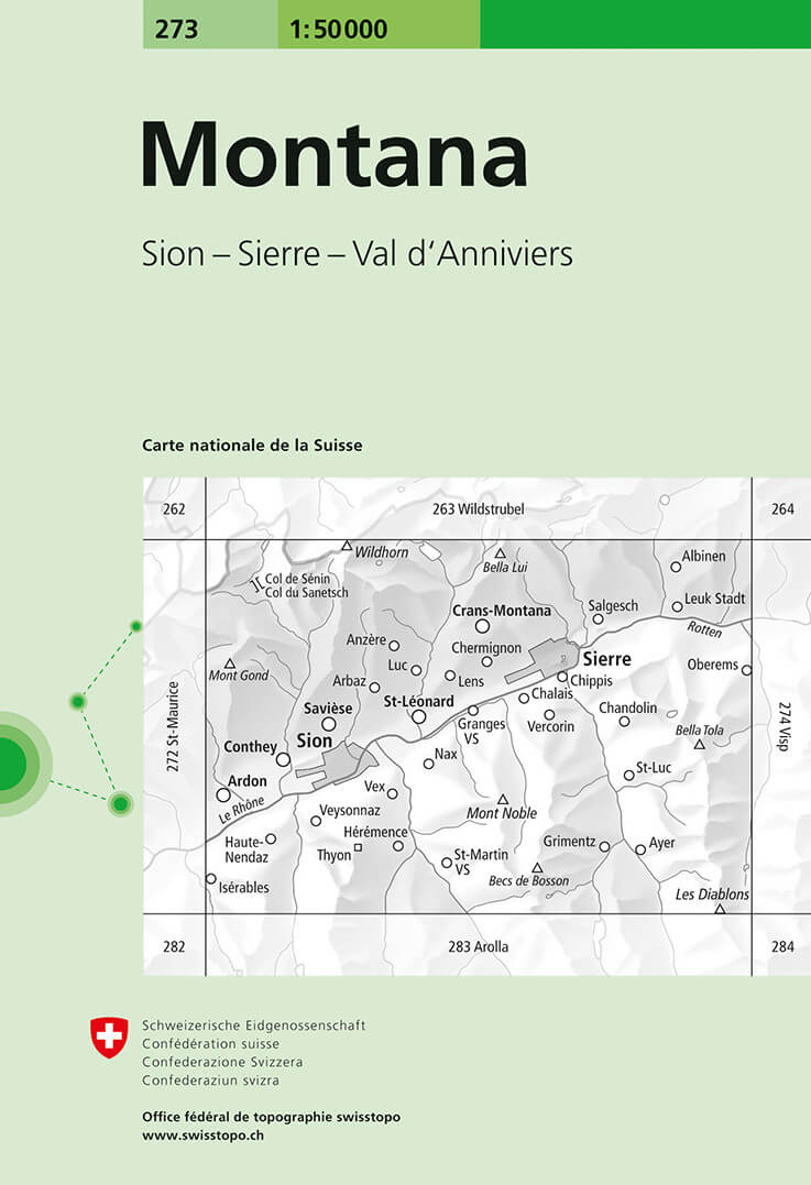
- Montana Swisstopo 273
- Montana, map No. 273, in the standard topographic survey of Switzerland at 1:50,000 from Swisstopo, i.e. without the special overprint highlighting walking trails, local bus stops, etc, presented in Swisstopo’s hiking editions of the 50K survey. The map is divided by the Rhone Valley with Sierre and Sion and covers north of it the resorts of... Lire la suite
- Also available from:
- De Zwerver, Netherlands
De Zwerver
Netherlands
Netherlands
- Wandelkaart - Topografische kaart 273 Montana | Swisstopo
- Montana, map No. 273, in the standard topographic survey of Switzerland at 1:50,000 from Swisstopo, i.e. without the special overprint highlighting walking trails, local bus stops, etc, presented in Swisstopo Lire la suite

Stanfords
United Kingdom
United Kingdom
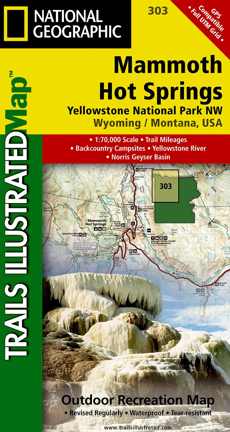
- Mammoth Hot Springs - Yellowstone National Park NW WY/MT
- Map No. 303, Yellowstone NW: Mammoth Hot Springs, WY/MT, in an extensive series of GPS compatible, contoured hiking maps of USA’s national and state parks or forests and other popular recreational areas. Cartography based on the national topographic survey, with additional tourist information.The maps, with most titles now printed on light,... Lire la suite
- Also available from:
- De Zwerver, Netherlands
De Zwerver
Netherlands
Netherlands
- Wandelkaart - Topografische kaart 303 Mammoth Hot Springs Yellowstone National Park | National Geographic
- Prachtige geplastificeerde kaart van het nationaal park. Met alle recreatieve voorzieningen als campsites, maar ook met topografische details en wandelroutes ed. Door uitgekiend kleurgebruik zeer prettig in gebruik. Scheur en watervast! Coverage of the Old Faithful area of Yellowstone National Park includes Heart Lake BMA, Pitchstone Plateau,... Lire la suite

Stanfords
United Kingdom
United Kingdom
- Telluride - Silverton - Ouray - Lake City CO
- Map No. 141, Telluride - Silverton - Ouray - Lake City, CO, in an extensive series of GPS compatible, contoured hiking maps of USA’s national and state parks or forests and other popular recreational areas. Cartography based on the national topographic survey, with additional tourist information.The maps, with most titles now printed on light,... Lire la suite
- Also available from:
- The Book Depository, United Kingdom
- Bol.com, Netherlands
- Bol.com, Belgium
- De Zwerver, Netherlands

The Book Depository
United Kingdom
United Kingdom
- Telluride/silverton/ouray/lake City
- Trails Illustrated Lire la suite

Bol.com
Netherlands
Netherlands
- Telluride/silverton/ouray/lake City
- Waterproof Tear-Resistant Topographic MapExpertly researched and created in partnership with local land management agencies, National Geographic's Trails Illustrated map of Telluride, Silverton, Ouray, and Lake City provides an unparalleled tool for exploring this breathtaking region of Colorado. Whatever the season, you'll find this map... Lire la suite
Bol.com
Belgium
Belgium
- Telluride/silverton/ouray/lake City
- Waterproof Tear-Resistant Topographic MapExpertly researched and created in partnership with local land management agencies, National Geographic's Trails Illustrated map of Telluride, Silverton, Ouray, and Lake City provides an unparalleled tool for exploring this breathtaking region of Colorado. Whatever the season, you'll find this map... Lire la suite

De Zwerver
Netherlands
Netherlands
- Wandelkaart - Topografische kaart 141 Telluride, Silverton, Ouray, Lake City | National Geographic
- Prachtige geplastificeerde kaart van het bekende nationaal park. Met alle recreatieve voorzieningen als campsites, maar ook met topografische details en wandelroutes ed. Door uitgekiend kleurgebruik zeer prettig in gebruik. Scheur en watervast! Beautiful waterproof and tear-resistant topographical hiking map of a well-loved National Park, with... Lire la suite

De Zwerver
Netherlands
Netherlands
- Wegenkaart - landkaart Idaho, Montana & Wyoming | ITMB
- Idaho,Montana & Wyoming Travel Reference Map 1 : 1 000 000 ab 10.49 EURO International Travel Map ITM. 1st Edition Lire la suite