
Italie
Description

Italy is a country of enormous diversity and contrast. Most famous are the Alps. Coming from the efficient neatness of Switzerland or Austria, the Italian Alps are wilder and at the same time more tranquil, like stepping back in time. The most beautiful and popular areas are Gran Paradiso, Val Grande, Stelvio and the Dolomites.
In addition there are countless national parks, all very much worth hiking through. A series of mountain ranges runs from north to south like a backbone, starting from the hills of Tuscany, to the Apennines and Abruzzo to Italy's toe, Calabria. Southern Italy, too far for many tourists, has several attractive hiking regions, like Pollino and Aspromonte.
In the Alps you can walk from hut to hut, elsewhere you can do day hikes, such is the rule in general. However some genuine long distance hiking trails are under construction. European long distance trail E10 in the Alps, which coincides with the 1000km long Grande Alpine Trail and the international Via Alpina. The second large project is the E1, which coincides with the Grand Apennine Mountains Trail and the Ligurian Mountains High Trail. If this trail is ever completed, you can start from Como passing Genova and continue all the way to Reggio di Calabria and Palermo or Siracuse on Sicily. The third large project means to join all these trails into one 6000km long Sentiero Italia. Last but not least, there is the Alta Via in the Dolomites: splendid walking.
Mountain huts abound in the Alps. Hiking can be done all summer, from June until well into October. Further south spring is the best hiking season. In April you will still get stuck in the snow up in the mountains. Autumn is supposed to be fine as well, but alas, as one hiker put it: "you wake up to the sounds of church bells and gunfire". As hunters, Italians are best avoided.
Carte


Sentiers
- Alta Via dei GigantiGPX
- Alta Via dei Monti LiguriGPX
- Alta Via Della Valle d'Aosta No 1
- Alta Via Della Valle d'Aosta No 2
- Alta Via Dolomiti 1GPX
- Alta Via Dolomiti 10
- Alta Via Dolomiti 2GPX
- Alta Via Dolomiti 3GPX
- Alta Via Dolomiti 4GPX
- Alta Via Dolomiti 5
- Alta Via Dolomiti 6GPX
- Alta Via Dolomiti 7
- Alta Via Dolomiti 8
- Alta Via Dolomiti 9
- Bassa Via del GardaGPX
- Cinque Terre
- E1GPX
- E10GPX
- E12GPX
- E5GPX
- E7GPX
- Florence - Siena
- GoethewegGPX
- GR58 - Tour du QueyrasGPX
- Grande Escursione AppenninicaGPX
- Grande Traversata del Gran Paradiso
- Grande Traversata delle AlpiGPX
- Meraner HöhenwegGPX
- Pfunderer HöhenwegGPX
- Santiago de Compostela Pilgrims WayGPX
- Südalpenweg - 3GPX
- SeealpentourGPX
- Sentiero della PaceGPX
- Sentiero ItaliaGPX
- Sentiero Roma
- Tiroler Höhenweg
- TMB - Tour du Mont BlancGPX
- Tour des CombinsGPX
- Tour des Grands Barrages
- Tour du MatterhornGPX
- Tour Monte RosaGPX
- Traumpfad München-VenedigGPX
- Via AlpinaGPX
- Via FrancigenaGPX
- Via SacraGPX
- Via SbrinzGPX
- Via SplugaGPX
- Via ValtellinaGPX
Régions
- Abruzzi
- Adamello
- Aeolian Islands
- Alpi Biellesi e Cusiane
- Alpi di Livigno
- Alpi Liguri
- Alpi Marittime
- Alpi Oróbie e Bergamasche
- Alpi Sarentini
- Alpi Vicentine
- Alps
- Amalfi Coast
- Appennini
- Apulia
- Ötztal
- Bernina
- Brenta
- Calabria
- Cilento
- Defereggengebirge
- Dolomiti
- Dolomiti di Fiemme
- Elba
- Friuli
- Garda
- Gran Paradiso
- Grand Combin
- Julische Alpen
- Karawanken
- Karnischer Alpen
- Lago di Como
- Lago Maggiore
- Liguria
- Lombardia
- Matterhorn
- Moncenisio
- Monginevro
- Mont Blanc
- Monte Leone
- Monte Rosa
- Monti Sibillini
- Monviso
- Nonstaler Alpen
- Ortler
- Paganella
- Platta Gruppe
- Presanella
- Rieserfernergruppe
- Sardinia
- Südtirol
- Sesvenna Gruppe
- Sicilia
- Sobretta
- Stelvio
- Stubai
- Texelgruppe
- Tirol
- Toscana
- Trentino
- Umbria
- Val d'Aosta
- Val Grande
- Val Venosta
- Valle d'Aosta
- Veneto
- Vinschgau
- Zillertal
Montagnes


Liens
Données
Rapports
Guides et cartes
Hébergement
Organisations
Voyagistes
GPS
Autre
Livres

United Kingdom
- Cortina d`Ampezzo Kompass 55
- Map No. 55, Cortina d`Ampezzo - with a panorama map on the reverse, from Kompass, printed on sturdy, waterproof and tear-resistant synthetic paper in their series of walking maps of selected areas of Italy at 1:50,000, with hiking routes on a topographic base, various types of accommodation, recreational facilities, places of interest, etc.... Lire la suite

United Kingdom
2018
- Italian Sunflower Landscape Guide
- This new 3rd edition of Italian Lakes has been carefully revised just a few months prior to publication. The topo maps now show waypoints, and free downloadable GPS tracks are available for all the walks. Colour coding on the Contents page enables you to see at a glance the grading of various walks. These great expanses of water, bound to the... Lire la suite

United Kingdom
- Pale di San Martino - Primiero San Martino di Castrozza - Paneveggio - Valle del Vanoi Kompass 622
- Pale di S.Martino - Fiera di Primiero - Panaveggio - Valle del Vanoi area at 1:25,000 on a durable, waterproof and tear-resistant map from Kompass in their series of detailed maps of the Dolomites.CARTOGRAPHY: Kompass maps of the Dolomites at 1:25,000 have contours at 25-m intervals. An overprint shows local and long-distance footpaths,... Lire la suite

United Kingdom
- Bolzano and Environs Kompass 54
- Map No. 54, Bolzano and Environs, from Kompass, printed on waterproof and tear-resistant synthetic paper in a series of walking maps of selected areas of Italy at 1:50,000, with hiking routes on a topographic base, various types of accommodation, recreational facilities, places of interest, etc. Kompass are Europe’s largest publishers of... Lire la suite

United Kingdom
- Italy Birds
- A Folding Pocket Guide to Familiar Species Lire la suite

- Also available from:
- De Zwerver, Netherlands


- Also available from:
- De Zwerver, Netherlands


United Kingdom
2015
- The Way of St Francis
- Via di Francesco: From Florence to Assisi and Rome Lire la suite
- Also available from:
- De Zwerver, Netherlands

Netherlands
2019
- Wandelgids - Pelgrimsroute The Way of St Francis - Via Francigena | Cicerone
- Guidebook to walking the Way of St Francis, Via di Francesco. 550km pilgrimage from Florence, through Assisi to Rome through Central Italy visiting key sites from the saint's life. Described in 28 stages, the guide to the month-long route includes detailed maps, profiles and information about all the shrines, churches and towns along the way. Lire la suite
Netherlands
2018
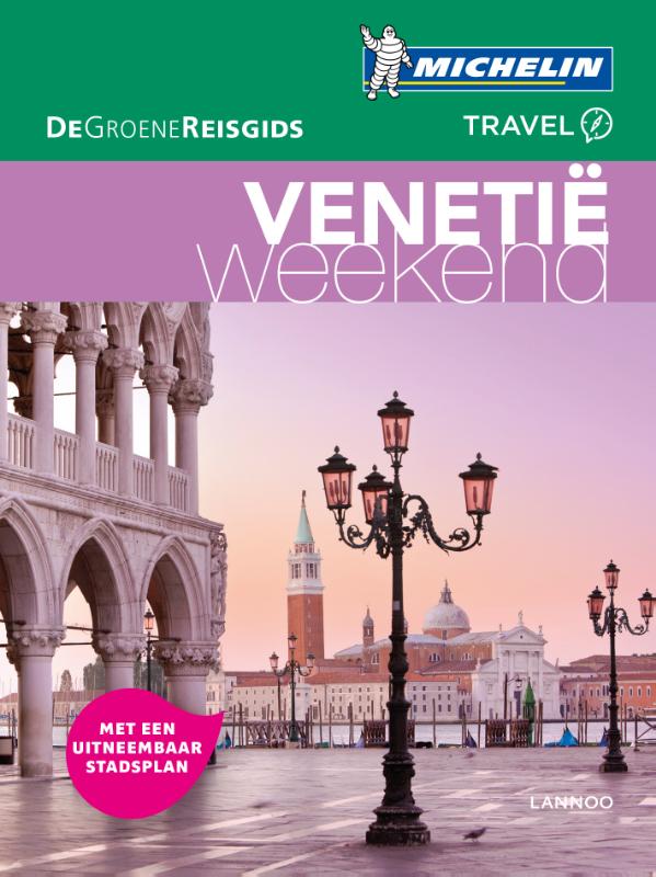
- Reisgids Michelin groene gids weekend Venetië | Lannoo
- Geen tijd te verliezen: je krijgt een uitgebreid blok praktische informatie vanaf pagina 1! Door de handige opdeling van de stad in wijken kun je snel kiezen waar je heen wilt. Op de uitneembare stadsplattegrond vind je alle in de gids besproken restaurants en hotels terug. Met een handige kaart van het openbaar vervoer. Met een... Lire la suite
Netherlands
2023
Netherlands
2024
Netherlands
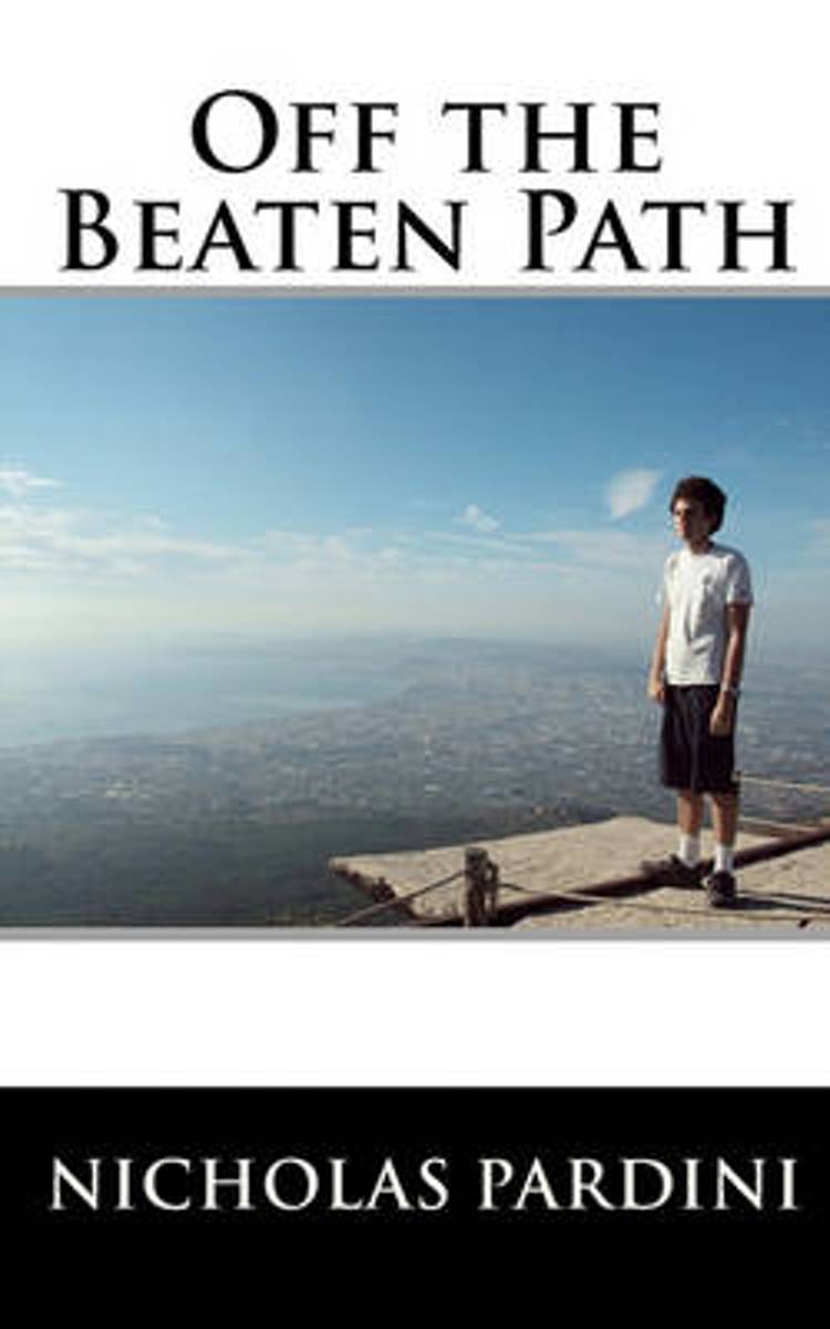
- Off the Beaten Path
- Off The Beaten Path is the travelogue of a student who decides to maximize his opportunity of a semester abroad. During the week Nick attends class at Bocconi University in Milan, Italy, while on the weekends and breaks explores the best of what over twelve countries in Europe and North Africa have to offer. Nick's story also expands to... Lire la suite
- Also available from:
- Bol.com, Belgium
Belgium
- Off the Beaten Path
- Off The Beaten Path is the travelogue of a student who decides to maximize his opportunity of a semester abroad. During the week Nick attends class at Bocconi University in Milan, Italy, while on the weekends and breaks explores the best of what over twelve countries in Europe and North Africa have to offer. Nick's story also expands to... Lire la suite

Netherlands
- Italy on Your Coffetable
- This book is the fruition of our dream of living in a small mountain top village in Italy. While the pictures are beautiful, they don't do justice for this tiny hamlet. One must visit for themselves, as Mandela invites you to come and create your own story. Lire la suite
- Also available from:
- Bol.com, Belgium
Belgium
- Italy on Your Coffetable
- This book is the fruition of our dream of living in a small mountain top village in Italy. While the pictures are beautiful, they don't do justice for this tiny hamlet. One must visit for themselves, as Mandela invites you to come and create your own story. Lire la suite
Netherlands
2017
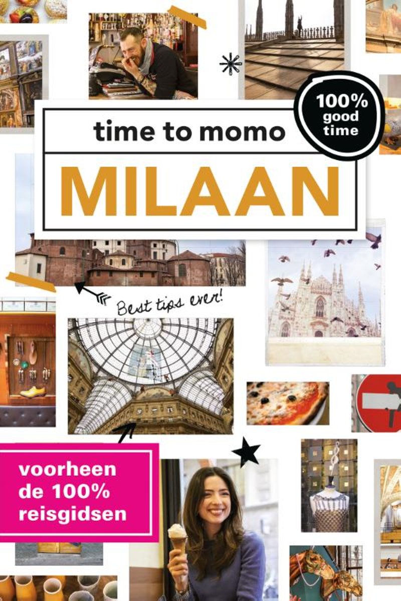
- Time to momo - Milaan
- Dit is de vernieuwde versie van de 100% Milaan reisgids! Jij gaat Milaan ontdekken! De mode- en designstad van Europa is een van de beter bewaarde geheimen. Gevoelsmatig is het misschien niet de meest aantrekkelijke stad, maar niets is minder waar. Milaan is de meest dynamische stad van Italië waar cultuur, shoppen, design en aperitivo-tentjes... Lire la suite
- Also available from:
- Bol.com, Belgium
Belgium
2017
- Time to momo - Milaan
- Dit is de vernieuwde versie van de 100% Milaan reisgids! Jij gaat Milaan ontdekken! De mode- en designstad van Europa is een van de beter bewaarde geheimen. Gevoelsmatig is het misschien niet de meest aantrekkelijke stad, maar niets is minder waar. Milaan is de meest dynamische stad van Italië waar cultuur, shoppen, design en aperitivo-tentjes... Lire la suite
Cartes

United Kingdom
- Val de Peio - Val di Rabbi - Val di Sole Tabacco 048
- Val de Peio - Val di Rabbi - Val di Sole area in a series of Tabacco maps at 1:25,000 covering the Dolomites and the mountains of north-eastern Italy - Stanfords’ most popular coverage for this region, with excellent cartography and extensive overprint for hiking routes and other recreational activities, local bus stops, etc. Additional... Lire la suite

United Kingdom
- Siena - Volterra - Massa Marittima - Roccastrada Kompass 2462
- Siena - Volterra - Massa Marittima - Rocca Strada map at 1:50,000 from Kompass, printed on durable, waterproof and tear-resistant synthetic paper. Coverage includes Colle di Va d’Elsa, Casole d’Elsa, Metallifere hills, etc. Contours are at 40m intervals, with a 2-km UTM grid. Extensive overprint includes GEA - Grande Escursione Appenninica,... Lire la suite

United Kingdom
- Cinque Terre - Golfo del Tigullio: La Spezia - Sestri Levante - Rapallo - Genoa 50K IGC Map No. 23
- Cinque Terre - Golfo del Tigullio area of the Italian Riviera from genoa to la Spezia including Sestri Levante and Rapallo in a series contoured hiking maps at 1:50,000 with local trails, long-distance footpaths, mountain accommodation, etc. from the Turin based Istituto Geografico Centrale.Maps in this series have contours at 50m intervals,... Lire la suite

United Kingdom
- Levico - Altopiani di Folgaria Lavarone e Luserna Tabacco 057
- Levico - Altopiani di Folgaria Lavarone e Luserna area in a series of Tabacco maps at 1:25,000 covering the Dolomites and the mountains of north-eastern Italy - Stanfords’ most popular coverage for this region, with excellent cartography and extensive overprint for hiking routes and other recreational activities, local bus stops, etc.... Lire la suite

United Kingdom
- Lago d`Iseo - Valle Trompia - Franciacorta Kompass 106
- Lago d`Iseo - Valle Trompia - Franciacorta area on a GPS compatible hiking and recreational map at 1:50,000 from Kompass on durable, waterproof and tear-resistant synthetic paper. Coverage extends south to include Brescia.KOMPASS HIKING MAPS OF ITALY:This title is part of an extensive series of walking maps from Kompass covering selected areas... Lire la suite

United Kingdom
- Val Gardena / Groden - Alpe di Siusi / Seiseralm Tabacco 05
- Val Gardena/Gröden - Alpe di Siusi/Seiseralm area in a series of Tabacco maps at 1:25,000 covering the Dolomites and the mountains of north-eastern Italy - Stanfords’ most popular coverage for this region, with excellent cartography and extensive overprint for hiking routes and other recreational activities, local bus stops, etc. Additional... Lire la suite

United Kingdom
- Interlaken - Grindelwald - Lauterbrunnen - Wengen - Brienz Swisstopo SKI 254S
- Detailed ski map at 1:50,000 from Swisstopo, the country’s national survey organization, showing routes for skiing and/or snowboarding, access by public transport, recommended itineraries, lists of mountain huts, etc. The series uses the cartography of Switzerland’s topographic survey, with additional colouring to show slopes steeper than 30°.... Lire la suite

United Kingdom
- Pescara
- Pescara on an indexed street plan at 1:9,000 from Litografia Artistica Cartografica in their Globalmap imprint. 38 monuments including historic buildings and churches, cultural or educational institutions, and important municipal buildings or facilities are numbered and listed next to the plan. On the reverse two large, separately indexed plans... Lire la suite

United Kingdom
- Alta Badia - Arabba - Marmolada Tabacco 07
- Alta Badia - Arabba - Marmolada area in a series of Tabacco maps at 1:25,000 covering the Dolomites and the mountains of north-eastern Italy - Stanfords’ most popular coverage for this region, with excellent cartography and extensive overprint for hiking routes and other recreational activities, local bus stops, etc. Additional overprint in... Lire la suite

United Kingdom
- Valsesia - Riva Valdobbia - Campertogno - Mollia - Rassa - Scopelllo
- 1:25,000 hiking map to the south west of Valsesia including Riva Valdobbia, Campertogno, Mollia, Rassa, Scopelllo.Published in association with the CAI, the Italian Alpine Club, who are responsible for the trails. Trails are marked on the map. The key information and more detailed information on the rear of the sheet are in Italian, German and... Lire la suite

United Kingdom
- Valle Anzasca - Vanzone - Piedimulera SUPERCEDED
- 1:25,000 hiking map covering the east end of the Valle Anzasca, centred on Pieve Vergonte, including Villadossola and Anzola d`Ossola. Published in association with the CAI, the Italian Alpine Club, who are responsible for the hiking trails. Trails are marked on the map. The key information and more detailed information on the rear of the sheet... Lire la suite

United Kingdom
- Lago di Bolsena - Acquapendente - Orvieto - Pitigliano - Sorano Kompass 2471
- Lago di Bolsena – Orvieto area at 1:50,000 from Kompass on a map printed on durable, waterproof and tear-resistant synthetic paper. Coverage includes Acquapendente, Ficulle, Santa Flora, Valentano, Montefiascone, Selva del Lamone, etc. Contours are at 40m intervals, with a 2-km UTM grid. Extensive overprint includes cycling and selected... Lire la suite

United Kingdom
- Valle Antigorio Swisstopo SKI 275S
- Detailed ski map at 1:50,000 from Swisstopo, the country’s national survey organization, showing routes for skiing and/or snowboarding, access by public transport, recommended itineraries, lists of mountain huts, etc. The series uses the cartography of Switzerland’s topographic survey, with additional colouring to show slopes steeper than 30°.... Lire la suite

United Kingdom
- Marsala Global Map Street Plan
- Marsala on an indexed street plan at 1:6,000 from Litografia Artistica Cartografica in their Global Map edition. 34 monuments including historic buildings and churches, cultural or educational institutions, and important municipal buildings or facilities are numbered and listed next to the plan. An inset covers Isola di San Pantaleo (Mozia)... Lire la suite

United Kingdom
- Parco delle Madonie
- Parco delle Madonie on the north coast of Sicily just south of Cefalù on a detailed, GPS compatible map at 1:50,000 from LAC in their Globalmap imprint. An overprint highlights hiking trails, including the local section of Sentiero Italia, and indicates more strenuous sections.Topography of this interesting area is very well presented by... Lire la suite